Early Los Angeles Historical Buildings (1900 - 1925)
Introdcution |
At the beginning of the 20th century, Los Angeles was a rapidly growing city whose streets were lined with Victorian homes, hotels, churches, schools, firehouses and commercial buildings. Horse-drawn vehicles still shared the streets with electric streetcars and the first automobiles, while new construction was already beginning to reshape the city.The photographs on this page capture Los Angeles during this period of transition. Some of the buildings survive today, while many were demolished as neighborhoods changed, streets were widened and the city continued to grow. Then and Now comparisons help show what became of these historic locations and how dramatically the Los Angeles streetscape has changed over more than a century. |
* * * * * |
H.J. Whitley Residence — Hollywood Boulevard and Wilcox Avenue |
Long before Hollywood Boulevard became one of Los Angeles' best-known commercial streets, a large Queen Anne-style residence stood at the northwest corner of Prospect Avenue and Wilcox Avenue. Built around 1890 for James McLaughlin, an early developer of the Cahuenga Valley Railroad, the house later became the home of Colorado mining investor Eli C. Hurd and, in 1900, prominent Hollywood developer and banker H.J. Whitley.The history of the house closely followed Hollywood's transformation from a rural community of orchards and scattered homes into a growing suburb. Early railroad service helped open the Cahuenga Valley to development, while later electric streetcars brought increasing numbers of residents and visitors. By the 1920s, commercial buildings had surrounded the once-prominent residence, and the house was demolished in 1927 as Hollywood Boulevard continued its rapid development. |
 |
|
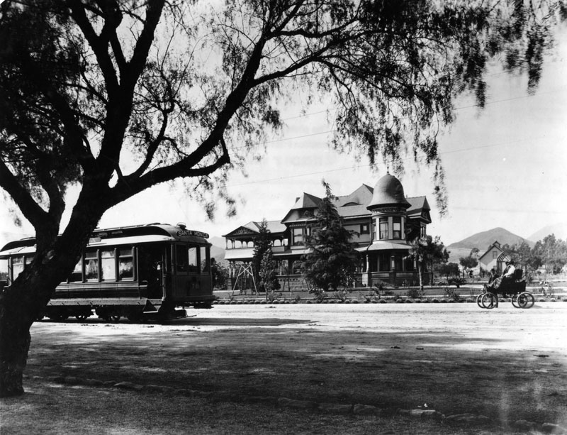
| (1900)* - Looking toward the Queen Anne-style residence of H.J. Whitley at the northwest corner of Prospect Avenue (later Hollywood Boulevard) and Wilcox Avenue. Built around 1890 for Cahuenga Valley Railroad developer James McLaughlin, the house was subsequently owned by E.C. Hurd before being acquired by Whitley in 1900. A streetcar marked "Santa Monica" passes in front of the property, while a couple sits nearby in an early open automobile. |
Historical Notes In 1887, James McLaughlin obtained a franchise to build a steam railroad extending from Los Angeles toward the sparsely settled Cahuenga Valley. The Cahuenga Valley Railroad opened for passenger service in 1888 and helped make the area that would become Hollywood more accessible from Los Angeles. McLaughlin built his imposing Queen Anne-style residence around 1890 near the railroad's western terminus at Prospect Avenue and Wilcox Avenue. McLaughlin's tenure was short-lived. In 1889, he was briefly jailed following a controversy in which he was quoted as claiming he could buy votes on the Los Angeles County Board of Supervisors. Around 1890, the house was sold to Eli C. Hurd, who also purchased the Cahuenga Valley Railroad from McLaughlin in 1890. Hurd had made his fortune in Colorado mining before investing in Southern California land. He became active in the developing Cahuenga Valley and was a founding member of the Cahuenga Water Company, incorporated in 1894. By 1896, he was serving as superintendent of the Cahuenga Valley Railroad. Hurd died in 1897 at the age of 45. |
 |
|
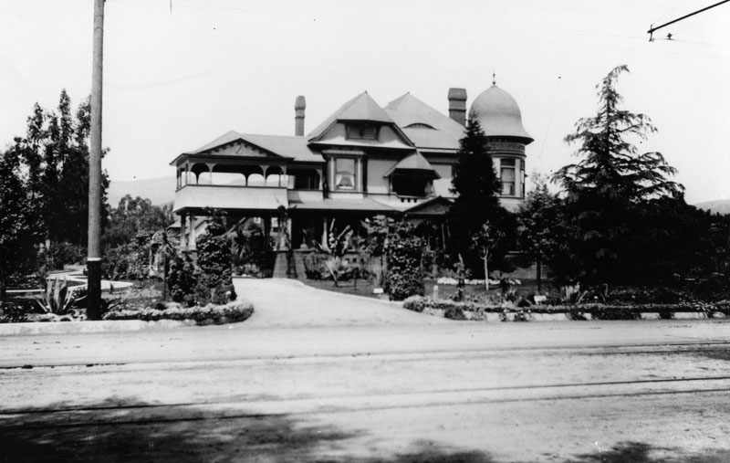
| (ca. 1900)* - Exterior view of the large Queen Anne-style residence at the northwest corner of Prospect Avenue (later Hollywood Boulevard) and Wilcox Avenue. Originally built for James McLaughlin and later owned by E.C. Hurd, the house was acquired in 1900 by prominent Hollywood developer and banker H.J. Whitley. |
Historical Notes H.J. Whitley became an influential figure in Hollywood's early development. Through his real estate and business activities, he helped promote residential development and was associated with projects including the Hollywood Hotel, the Ocean View Tract and banking interests serving the growing community. During this period, Hollywood was changing from an agricultural settlement into a residential suburb. New subdivisions, improved roads and expanding streetcar service encouraged development along Prospect Avenue and surrounding streets. Whitley's later development of Whitley Heights in the hills above Hollywood preserved his name as part of the area's history. |
 |
|
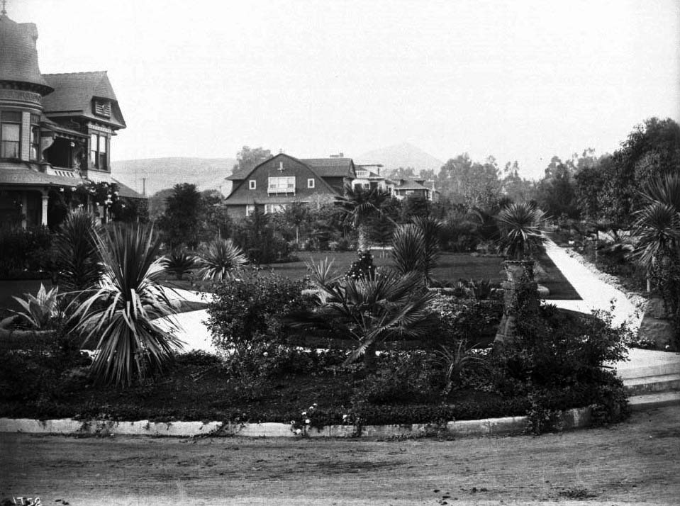
| (ca. 1905)* - Looking toward the northwest corner of Prospect Avenue (later Hollywood Boulevard) and Wilcox Avenue. The Queen Anne-style residence of H.J. Whitley stands at left, surrounded by landscaped grounds with lawns, young trees and ornamental plantings. Several residences can be seen beyond the property, with the Hollywood Hills in the distance. |
Historical Notes By the early 1900s, Prospect Avenue was developing into one of Hollywood's principal thoroughfares, although substantial homes, gardens and open land still characterized much of the area. Hollywood incorporated as an independent municipality in 1903 and became part of the City of Los Angeles in 1910, when Prospect Avenue was renamed Hollywood Boulevard. The residential character seen here would soon disappear. Whitley eventually sold the property, and commercial development began closing in around the old mansion. During the 1910s, the residence was converted into rental rooms and became known as the Bachelor Lodge, housing people associated with Hollywood's growing motion-picture industry. New commercial and apartment buildings gradually surrounded the house. |
 |
|
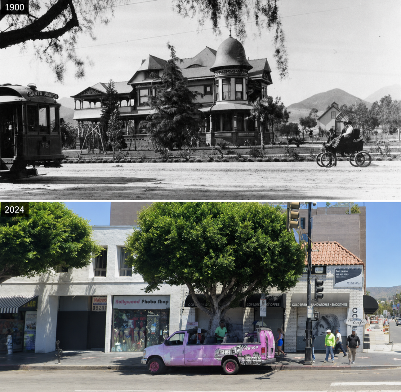
| (1900 vs. 2024)* - A Then and Now comparison looking toward the northwest corner of Hollywood Boulevard and Wilcox Avenue, where the Queen Anne-style residence later occupied by H.J. Whitley once stood. The residential landscape of 1900 has been replaced by the commercial streetscape of modern Hollywood. Photo comparison by Jack Feldman. |
Historical Notes The mansion survived the first wave of commercial development along Hollywood Boulevard. During the 1910s, new construction increasingly surrounded the old residence, which had been converted into rental rooms. By the 1920s, the once-prominent Queen Anne-style house was largely hidden behind commercial and apartment buildings. In 1927, the residence was demolished to allow expansion of the commercial development fronting Hollywood Boulevard. The 2024 view shows how completely the corner has changed since 1900. Little remains of the residential landscape seen in the early photographs, although the Hollywood Hills in the distance still provide a recognizable connection between the two views. Click HERE to see more Early Views of Hollywood (1850 - 1920). |
* * * * * |
Los Angeles County Courthouse — Early 1900s |
Completed in 1891, the Los Angeles County Courthouse stood prominently on Poundcake Hill at Temple Street and Broadway and became one of downtown Los Angeles' most recognizable landmarks. Commonly known as the Red Sandstone Courthouse, the massive Romanesque building was distinguished by its rusticated stone walls, arched openings and central clock tower. An exterior elevator added to the building even became a sightseeing attraction, offering visitors elevated views of the growing city.The photographs in this section capture the courthouse during the early 1900s, when horse-drawn vehicles and streetcars still shared the streets below and Los Angeles was rapidly developing around it. As county government expanded, the neighboring Hall of Records was built to relieve overcrowding. The courthouse remained a downtown landmark until damage from the 1933 Long Beach earthquake left it unsafe. It was demolished in 1936. |
 |
|
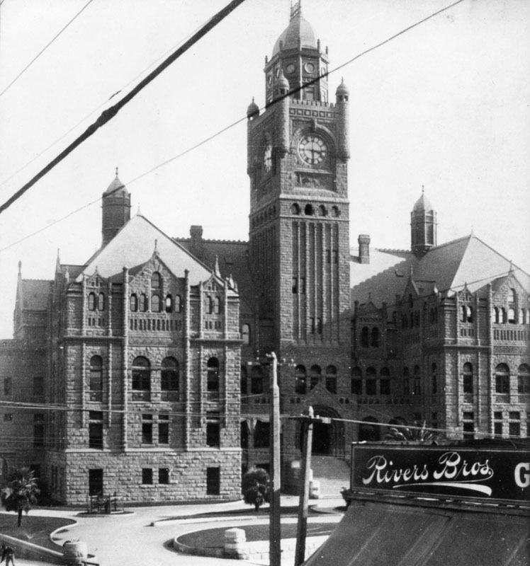
| (1900)* - Close-up view of the Los Angeles County Courthouse as seen from across Broadway near Rivers Bros. Completed in 1891, the courthouse stood atop Poundcake Hill at Temple Street and Broadway. |
Historical Notes The county moved into the new courthouse in 1891, ending three decades of using space in a converted commercial building known as the Market House. Built by Jonathan Temple in 1859 as a market and theater, the earlier building had been leased to the county for offices and courtroom space beginning in 1861. The Red Sandstone Courthouse remained in active use for more than four decades. The 1933 Long Beach earthquake damaged the building and left it unsafe for occupancy. Demolition began in 1935, with the roof and upper floors removed first, and was completed in 1936. |
 |
|
| (ca. 1905)* - Looking southwest from New High and Temple streets toward the Los Angeles County Courthouse standing prominently on Poundcake Hill. Pedestrians, a streetcar and horse-drawn vehicles share the streets below, with houses and commercial buildings surrounding the courthouse. |
Historical Notes Before the courthouse was built, Poundcake Hill was the site of Los Angeles High School, the city's first public high school. The school opened there in 1873 and remained until 1887, when the building was moved to make way for construction of the new county courthouse. By the early 1900s, the courthouse was one of the most prominent landmarks on the northern edge of downtown. Its elevated position on Poundcake Hill and tall clock tower made it visible from many parts of the rapidly growing city. |
 |
|
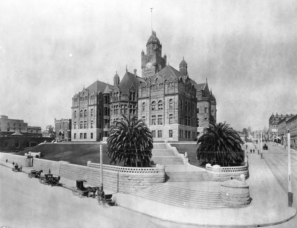
| (ca. 1906)* - View of the Los Angeles County Courthouse from the corner of New High (later Spring) and Temple streets, looking southwest. Horse-drawn carriages wait along the curb beneath the massive red sandstone building. |
Historical Notes One of the courthouse's more unusual features was an exterior elevator added before the turn of the century. The elevator traveled in a shaft attached to the outside of the building and became something of a sightseeing attraction, offering passengers elevated views of downtown Los Angeles. The circular elevator shaft can be seen just to the left of the palm tree. Looking closely, the elevator car appears to be positioned between the first and second floors. |
 |
|
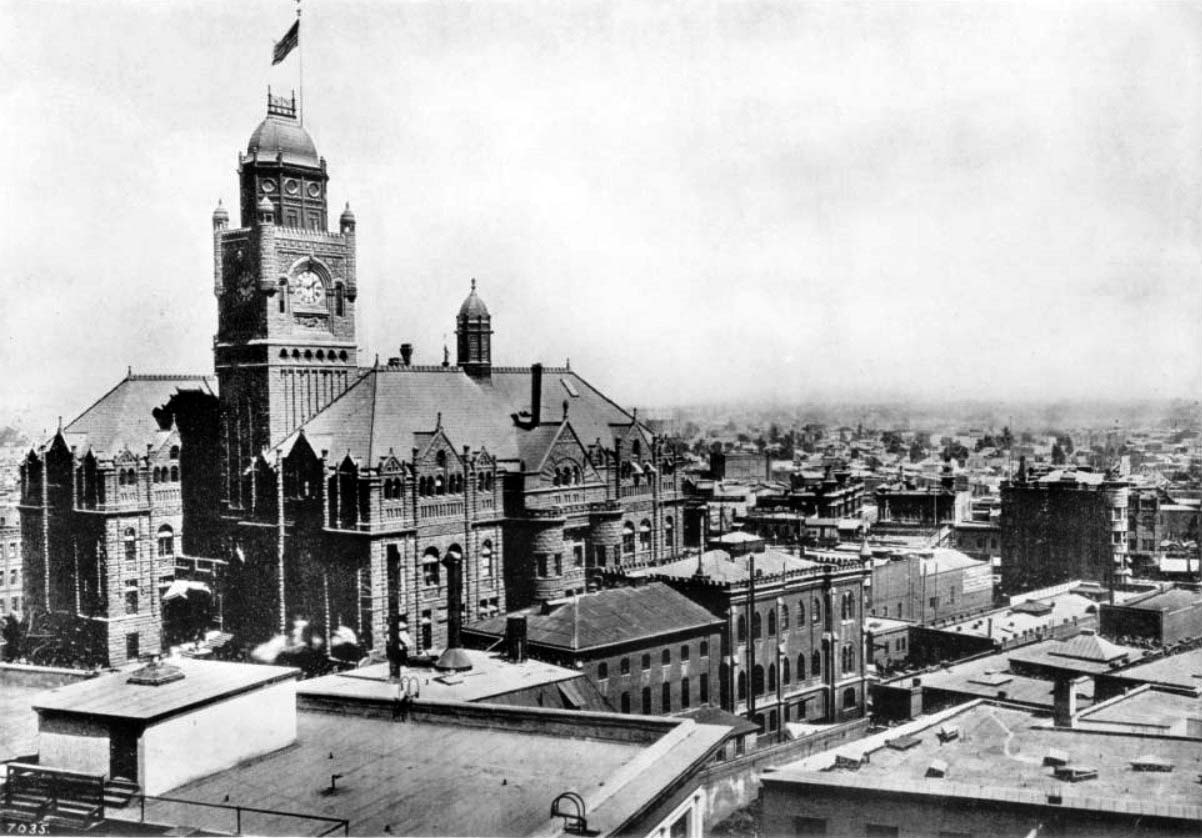
| (ca. 1906)* - Looking west toward the Los Angeles County Courthouse and Jail. Downtown rooftops fill the foreground while the courthouse rises prominently on Poundcake Hill at left. Its clock shows approximately 9:10, with an American flag flying above the tower. |
Historical Notes Several other early Los Angeles landmarks can be identified in this view. The Bullard Block, built in 1896, stands between Main and Spring streets near Market and Court. The United States Hotel, dating to 1862, can be seen at the southeast corner of Main and Market streets, while the Amestoy Building, completed in 1887, stands nearby at the northeast corner. According to the Los Angeles Conservancy, numerals from one of the courthouse clock faces were later reused on a clock at the second County Courthouse. They were subsequently transferred to the east-facing upper clock of the Stanley Mosk Courthouse, which opened in 1959, preserving a small physical connection to the original Red Sandstone Courthouse. |
 |
|
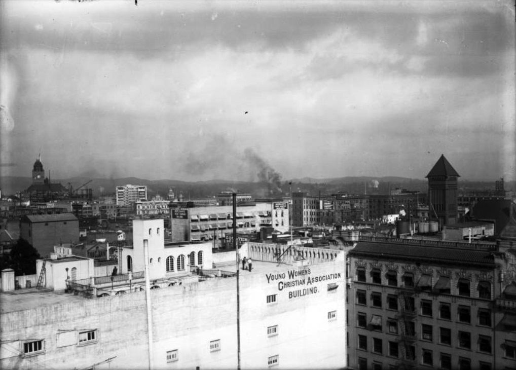
| (ca. 1909)^ - Bird's-eye view of Los Angeles looking northeast from Third Street Hill. The YWCA Building stands in the foreground at center, while Los Angeles City Hall rises at right. In the distance at left, the County Courthouse can be seen on Poundcake Hill, with the Hall of Records under construction nearby. |
Historical Notes This view captures downtown Los Angeles during a period of major civic expansion. Construction of the Hall of Records began in 1908 to relieve overcrowding in the neighboring courthouse and provide additional space for the rapidly expanding county government. The twelve-story building was completed in 1911. The tower at right belongs to Los Angeles' second City Hall, completed in 1888 at Second Street and Broadway. It served as the center of city government until the present Los Angeles City Hall opened in 1928. |
 |
|
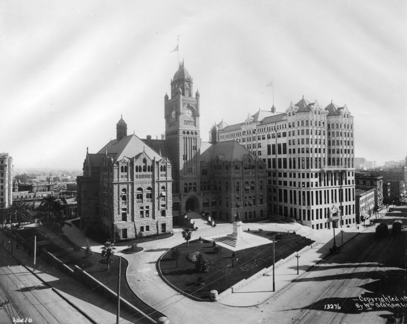
| (ca. 1911)* - Looking southeast from Temple Street and Broadway toward the Los Angeles County Courthouse and the newly completed Hall of Records. The two buildings stood side by side as the center of Los Angeles County government during the early decades of the 20th century. |
Historical Notes Completed in 1911, the Hall of Records was built to relieve overcrowding in the neighboring Red Sandstone Courthouse and provide additional space for county offices and records. The two buildings stood side by side for more than two decades before earthquake damage brought the courthouse's long service to an end. The 1933 Long Beach earthquake left the courthouse unsafe, and demolition was completed in 1936. The Hall of Records continued serving the county for several more decades before it too was demolished in 1973. Although the Red Sandstone Courthouse disappeared from Poundcake Hill, portions of the building survived. Blocks of its distinctive red sandstone were taken to City Terrace Park in East Los Angeles, where some remain today as landscaping and decorative elements. |
* * * * * |
USC College of Fine Arts and Judson Studios |
William Lees Judson, an English-born landscape painter and educator, became an important figure in the artistic community that developed along the Arroyo Seco during the late 19th and early 20th centuries. Judson settled in Garvanza in 1893, and by 1895 he had formalized a small art school there under the name Los Angeles College of Fine Arts. The school became affiliated with the University of Southern California in 1899, and around 1901 a dedicated three-story Moorish-style building was constructed for the college at 200 S. Avenue 66, with Judson serving as dean until his retirement in 1920.Fire destroyed the building on December 9, 1910. Judson applied for a rebuilding permit within a month, and a new Craftsman-style structure was constructed in 1911 on the same foundations and plan. USC continued holding classes there until 1920, when the College of Fine Arts moved to the university's main campus. The building then became home to the Judson family's stained-glass business, now known as Judson Studios, which continues to operate at the historic site today. |
 |
|
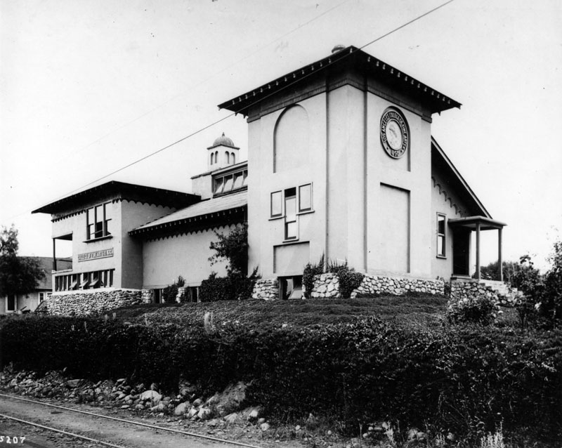
| (ca. 1901)* - View of the original College of Fine Arts building at 200 S. Avenue 66 in the Garvanza district of Los Angeles. The distinctive three-story building featured Moorish-style architectural elements, a stone foundation and a large medallion bearing the school seal. |
Historical Notes William Lees Judson (1842-1928) was born in Manchester, England, and came to the United States with his family as a child. A painter and educator, he settled near the Arroyo Seco in 1893, where the area's natural setting became an important subject of his landscape paintings. By 1895, he had formalized a small art school under the name Los Angeles College of Fine Arts, with himself as director. The school became affiliated with the University of Southern California in 1899, and around 1901 this dedicated building was constructed to house the college. Judson served as dean until his retirement in 1920. Under his direction, the school became an important center for art education and was closely associated with the community of artists, writers and craftspeople developing along the Arroyo Seco. |
 |
|
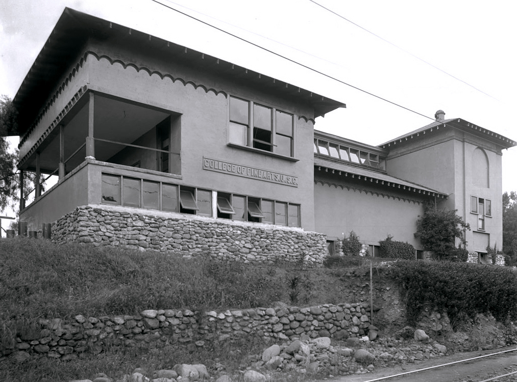
| (ca. 1900)* - Another view of the College of Fine Arts building in Garvanza. The three-story structure stood near the Arroyo Seco at what is now 200 S. Avenue 66. |
Historical Notes The College of Fine Arts was closely connected with the artistic community that flourished along the Arroyo Seco during the early 20th century. Artists, writers and craftspeople were drawn to Garvanza and neighboring Highland Park by the area's natural setting and the growing Arts and Crafts movement. Judson and writer George Wharton James helped establish the Arroyo Guild of Fellow Craftsmen, with Judson serving as its first president. In 1909, the College of Fine Arts building was enlarged to accommodate the Guild's headquarters. The Guild published a journal titled The Arroyo Craftsman, edited by James, although only one issue appeared, in October 1909. |
 |
|
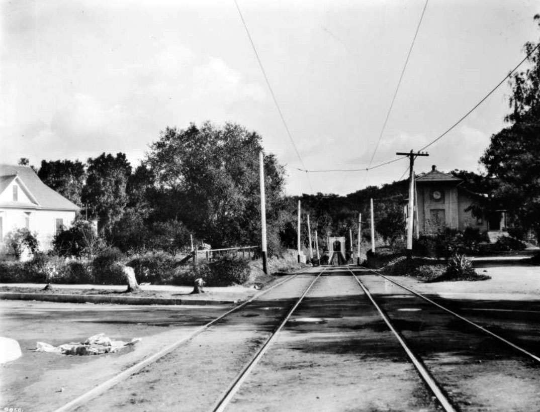
| (1907)* – View looking across the Arroyo Seco toward the Pacific Electric Railway bridge, with the College of Fine Arts visible at right. The photograph shows the art school within the still largely open landscape of Garvanza and the Arroyo Seco. |
Historical Notes The Arroyo Seco became an important center of Southern California's early arts community, attracting painters, writers, architects and craftspeople. Electric railway lines helped connect Garvanza and neighboring communities with downtown Los Angeles and Pasadena, while the Arroyo itself retained much of its natural character. On December 9, 1910, fire destroyed the College of Fine Arts building and many of Judson's paintings and other artworks. Judson later recalled escaping through a window and holding classes outdoors under the pepper trees following the fire. The college rebuilt quickly. Architects Robert F. Train and Robert Edmund Williams designed a new two-story Craftsman-style building, completed in 1911 on the foundations and plan of the earlier structure. USC continued holding classes there until the College of Fine Arts moved to the university's main campus in 1920. (Click HERE to see more in Early Views of USC). |
 |
|
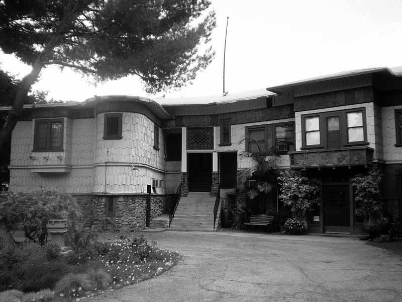
| (2008)* - View of Judson Studios at 200 S. Avenue 66 in Highland Park. The Craftsman-style building was constructed in 1911 following the fire that destroyed the original College of Fine Arts building. It was designed by architects Robert F. Train and Robert Edmund Williams. |
Historical Notes After USC moved its College of Fine Arts to the university's main campus in 1920, the Avenue 66 property became home to the Judson family's stained-glass business. Founded in 1897 by William Lees Judson and his sons, the business developed into Judson Studios and became known for stained glass and other architectural artwork. Today, Judson Studios is recognized as the oldest family-run stained-glass studio in the United States. The historic building was designated Los Angeles Historic-Cultural Monument No. 62 in 1969 and was added to the National Register of Historic Places in 1999. More than a century after the 1911 rebuilding, Judson Studios continues to operate at the Avenue 66 site, maintaining a direct connection to the artistic community that developed along the Arroyo Seco. |
* * * * * |
Los Angeles Fire Houses — The Age of the Horse |
Los Angeles relied on volunteer fire companies during its early years. Engine Company No. 1 was organized in 1871, followed by several other volunteer companies as the city grew. On February 1, 1886, Los Angeles established a paid professional fire department, beginning a new era of organized fire protection.For the next several decades, horses were an essential part of the Los Angeles Fire Department. They pulled steam engines, chemical engines, hose wagons and ladder trucks through city streets until motorized apparatus gradually replaced them. The firehouses below also tell a broader story about the growth of Los Angeles, the development of the LAFD, and the experiences of the city's early Black firefighters. |
 |
|
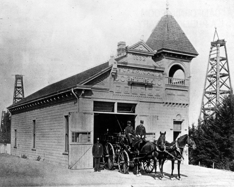
| (ca. 1900)* - Los Angeles Fire Department Chemical Engine Company No. 1 at 137 South Belmont Avenue, near West First Street. Known within the department as "The Hill," the company occupied this firehouse by 1900 and remained there until 1907. Two of the firefighters pictured have been identified as William Glenn and George W. Bright. |
Historical Notes Los Angeles relied entirely on volunteer fire companies from 1871 until the paid Los Angeles Fire Department was established on February 1, 1886. As the city grew, additional companies and firehouses were established to provide protection to neighborhoods farther from downtown. George W. Bright became an important figure in the early history of Black firefighters in Los Angeles. He joined the LAFD in 1897 and became the department's first full time Black firefighter. In January 1900, he was promoted to driver and assigned to Chemical Engine Company No. 1. In August 1902, Bright was promoted to lieutenant, becoming the first Black officer in LAFD history. Sam Haskins preceded Bright as the first known Black member of the Los Angeles Fire Department. City records identify Haskins as a firefighter as early as 1888. Born into slavery in Virginia, he later came to Los Angeles and served as a call firefighter. Haskins died in the line of duty in 1895. |
Chemical Engine Company No. 2
.jpg) |
|
| (1900)* - Los Angeles Fire Department Chemical Engine Company No. 2 at 3401 South Central Avenue, at the southwest corner of Central Avenue and 34th Street. Two firefighters and a "fire dog" sit atop the horse drawn chemical engine while another firefighter stands alongside. The company became Engine Company No. 14 in 1902. |
Historical Notes Chemical engines were an important part of firefighting during the late 19th and early 20th centuries. Unlike steam fire engines, they could quickly produce water pressure through a chemical reaction, allowing firefighters to begin fighting a fire without waiting for a steam pump to build pressure. Chemical Engine Company No. 2 operated at Central Avenue and 34th Street from 1900 until 1902. On October 1, 1902, the company was reorganized as Engine Company No. 14, beginning a long association between the No. 14 designation and this Central Avenue location. |
 |
|
| (1914)* - Engine No. 14 stands in front of Engine House No. 14 at 3401 South Central Avenue. The firehouse had originally housed Chemical Engine Company No. 2 before becoming the quarters of Engine Company No. 14 in 1902. |
Historical Notes Engine Company No. 14 operated from the Central Avenue station during the final decades of horse drawn firefighting in Los Angeles. During this period, horses remained an essential part of daily firehouse operations, pulling heavy equipment through city streets whenever an alarm sounded. The early 20th century brought major changes to firefighting. Motorized apparatus gradually replaced horse drawn equipment, providing greater speed, range and carrying capacity. The LAFD retired its last horse drawn apparatus in 1921, bringing an era of Los Angeles firefighting to a close. |
 |
|
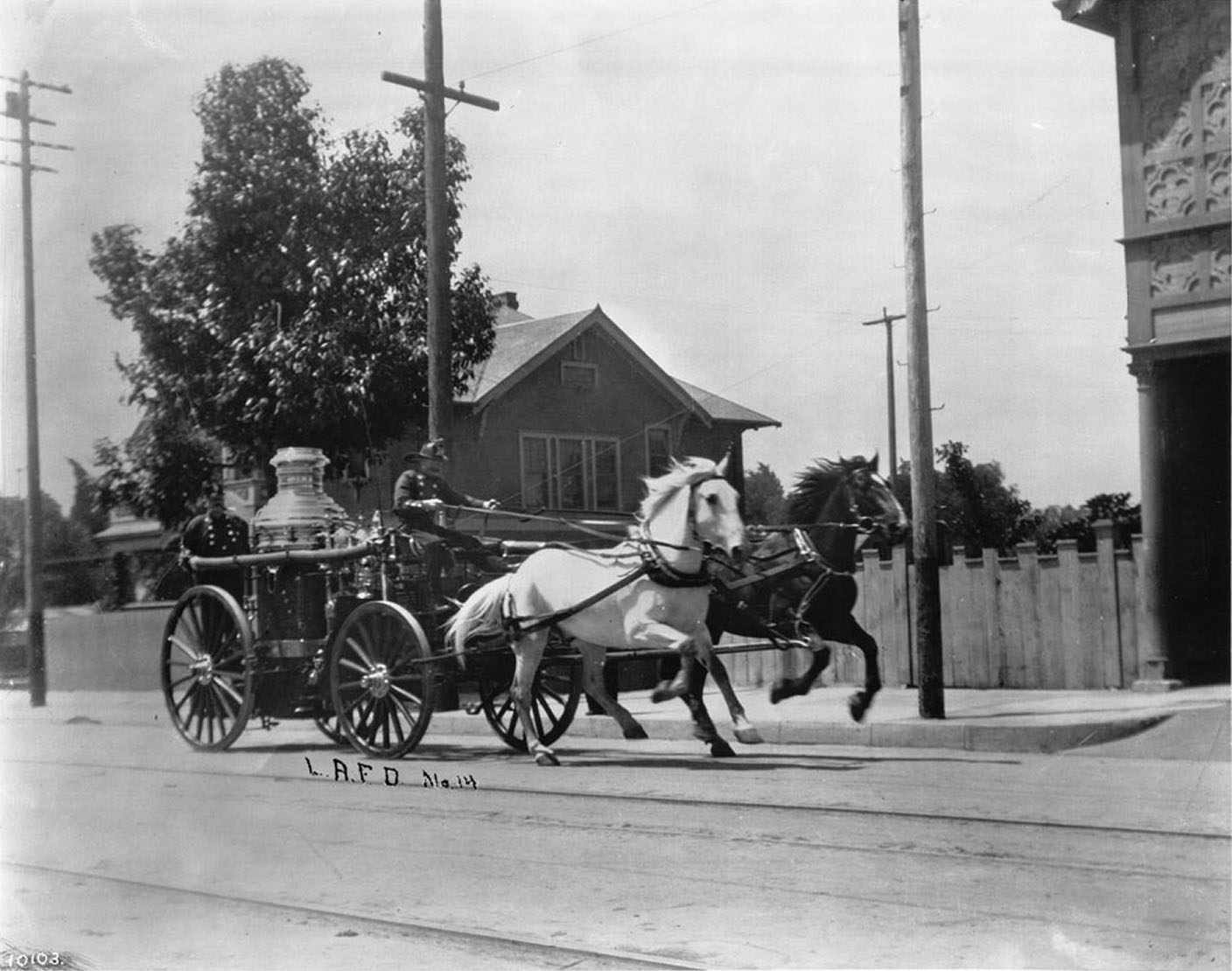
| (ca. 1910)* - A horse drawn engine from Engine Company No. 14 races past the firehouse at 3401 South Central Avenue. |
Historical Notes Fire department horses were carefully selected and trained for strength, speed and a calm temperament. At the sound of an alarm, trained horses moved into position beside the apparatus while firefighters quickly lowered and fastened their harnesses. For decades, these horses were as important to a fire company as the firefighters themselves. They hauled steam engines, chemical engines, hose wagons and ladder trucks through busy streets and had to remain steady amid bells, crowds, smoke and confusion. |
Then and Now
 |
|
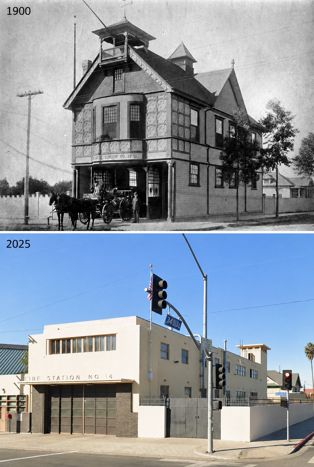
| (1900 vs. 2025)* – A Then and Now comparison of the southwest corner of Central Avenue and 34th Street. In 1900, the site was home to Los Angeles Fire Department Chemical Engine Company No. 2. The company became Engine Company No. 14 in 1902. Today, the corner remains home to LAFD Fire Station No. 14, continuing more than 125 years of fire service at this location. Photo comparison by Jack Feldman. |
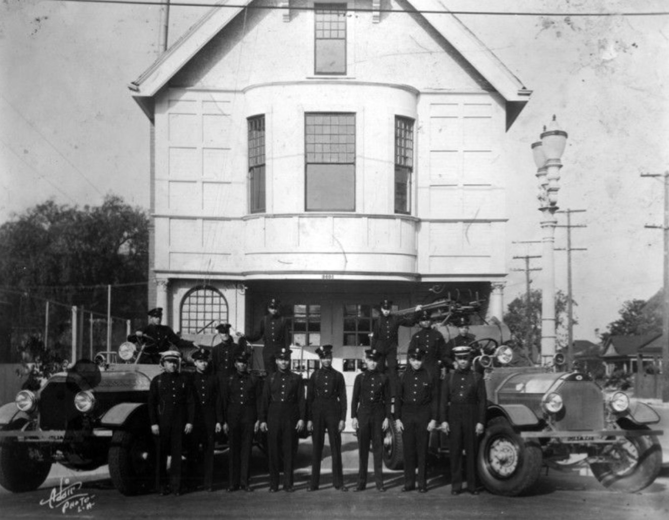
Historical Notes The current Fire Station No. 14 was constructed in 1949 next to the earlier station, which was demolished shortly afterward. Designed by architect Earl T. Heitschmidt in the International Style, the three story station remains in active service today. It was listed in the National Register of Historic Places in 2009. Fire Station No. 14 also holds an important place in Los Angeles civil rights history. In 1936, Black firefighters were transferred to Station 14, making it the city's second station staffed by Black firefighters, along with Fire Station No. 30. For the next two decades, the two stations became central to the experiences of Black LAFD firefighters during the department's segregated era. Black firefighters and their supporters challenged unequal assignments, working conditions and opportunities for advancement. These efforts were part of the broader struggle to integrate the Los Angeles Fire Department, which was completed in 1956. Fire Station No. 14's connection to this history contributed to its recognition as a significant historic resource. |
Engine Company No. 14 — 1936
 |
|
| (1936)* - African American firefighters of the “A” and “B” Platoons of Engine Company No. 14 pose with two fire engines in front of the station at 3401 South Central Avenue. Front row: Captain Guy Bailey, Lewis J. Harris, Horace Green, George Buford, Godfrey Catley, Frank F. LaVigne, Terry A. Addison Jr., and Captain Lawrence Washington. Rear row: Theodore Webb, Carl Auther, La Francis Jordan, James R. Akers Jr., Frank Milton, and Ford M. White. Photo courtesy of the African American Firefighter Museum. |
Historical Notes In 1936, Fire Station No. 14 became the second Los Angeles fire station staffed by Black firefighters, joining Fire Station No. 30 on Central Avenue. At a time when the Los Angeles Fire Department remained segregated, Black firefighters were largely restricted to these two stations. The firefighters at Stations 14 and 30 served the same city and faced the same dangers as their white counterparts, but segregation limited where they could work and restricted opportunities for advancement. Black firefighters and their supporters continued to challenge these unequal conditions, contributing to the long effort that led to the integration of the Los Angeles Fire Department in 1956. This 1936 photograph documents that important chapter in the history of Fire Station No. 14. The station remained at 3401 South Central Avenue, where the present Fire Station No. 14 was constructed in 1949. The current building was later listed in the National Register of Historic Places in recognition of its architectural significance and its association with the history of African American firefighters in Los Angeles. |
Hose Co. No. 4
 |
|
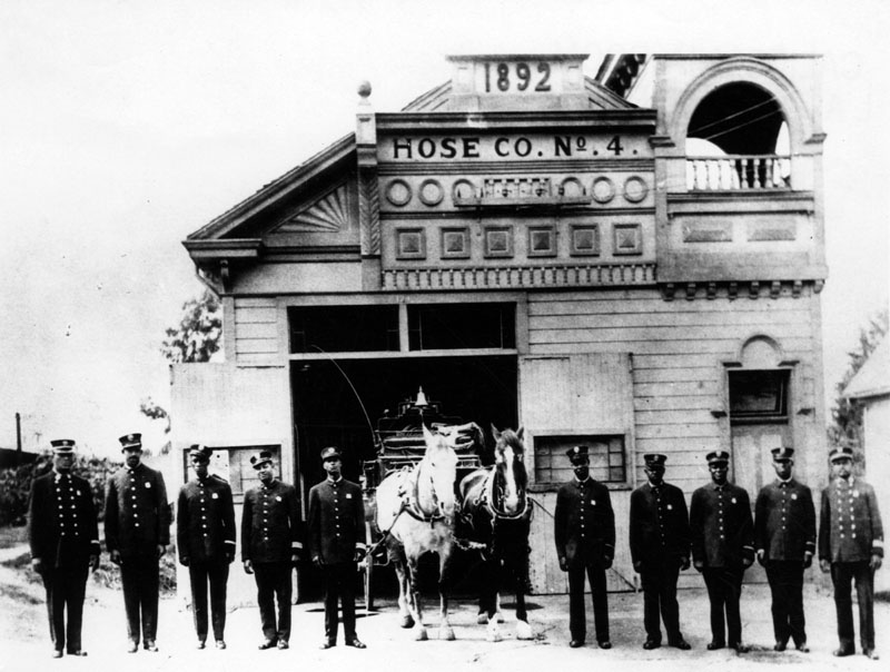
| (ca. 1910)* - Hose Company No. 4 at its firehouse on Loma Drive near West First Street. The company had originally opened on February 22, 1900, on Jefferson Street. After a period out of service, Hose Company No. 4 was reorganized and by 1907 occupied the former quarters of Chemical Engine Company No. 1. |
Historical Notes Hose Company No. 4 holds an important place in Los Angeles Fire Department history. After George Bright was promoted to lieutenant in 1902, the department transferred Black firefighters into Hose Company No. 4 rather than have white firefighters serve under the command of a Black officer. Bright was placed in command of the company, beginning a period of formal segregation within the LAFD. By 1907, Hose Company No. 4 had moved into the former Chemical Engine Company No. 1 firehouse on Loma Drive, the same station where Bright had previously served. The company remained associated with the location until the early 1920s. Engine Company No. 58 later occupied the building. In 1924, Black firefighters were transferred to Fire Station No. 30 on Central Avenue. Station 30 became the principal station for Black firefighters until Fire Station No. 14 was also assigned to Black firefighters in 1936. |
 |
|
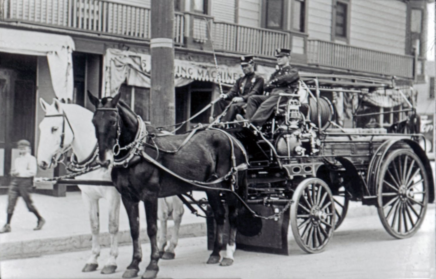
| (1911)* - Two firefighters sit atop a horse drawn ladder wagon while a young boy walks past, admiring the horses. |
Historical Notes Dalmatians became closely associated with fire companies during the horse drawn era because of their long history as coach dogs. Comfortable around horses, they could accompany horse drawn apparatus and became familiar fixtures around firehouses. Over time, the Dalmatian became one of the best known symbols of the American fire service. The photograph also captures a quieter side of the neighborhood firehouse. When crews were not responding to an alarm, the horses and equipment naturally attracted the attention of local children and residents. Firehouses were not only places of emergency response but familiar parts of everyday neighborhood life. |
* * * * * |
The Los Angeles State Normal School: Cradle of a University |
Before UCLA moved to Westwood, its roots could be found on a hill overlooking downtown Los Angeles. Authorized by the California Legislature in 1881, the Los Angeles branch of the State Normal School opened at Fifth Street and Grand Avenue on August 29, 1882. Its purpose was to train teachers for the rapidly growing communities of Southern California. Instruction began with three teachers and 61 students.The campus stood on Bellevue Terrace, an elevated site that became known as Normal Hill. As Los Angeles grew, the school outgrew its downtown home and moved to a larger campus on Vermont Avenue in 1914. Five years later, the institution became the Southern Branch of the University of California, the predecessor of UCLA. The old Normal School building remained on Normal Hill through the early 1920s. After it came down, much of the hill was cut down, Fifth Street was extended through the former campus, and the Los Angeles Central Library opened on the site in 1926. |
 |
|
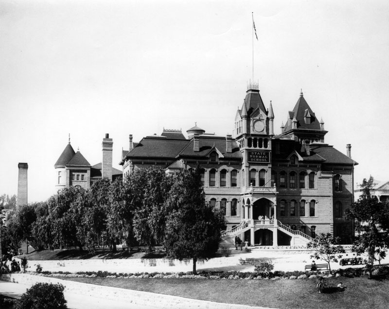
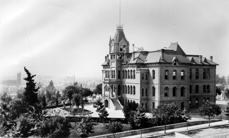
| (ca. 1910)* - View of the Los Angeles State Normal School, located at Grand Avenue and Fifth Street. Students can be seen on the balcony, stairway, and grounds of the hilltop campus. The school opened here in 1882 and remained at this location until moving to Vermont Avenue in 1914. |
Historical Notes In 1880, Los Angeles had a population of about 11,000 and was campaigning for a state school in Southern California to train teachers. At the time, California's State Normal School was located in San Jose, hundreds of miles to the north. In March 1881, the California Legislature authorized the establishment of a branch Normal School in Los Angeles. More than 200 local residents contributed money to acquire the school site at Bellevue Terrace, a hilltop development established by former Los Angeles mayor Prudent Beaudry. The tract chosen for the school was an orange orchard of a little more than five acres owned by his brother Victor Beaudry. Contributions ranged from $1 to $500, and the site was purchased for $8,000. Construction soon began, the cornerstone was laid on December 17, 1881, and the school opened on August 29, 1882. |
 |
|
| (Early 1900s)* - Side view of the Los Angeles State Normal School at Grand Avenue and Fifth Street. |
Historical Notes The school opened with three instructors and 61 students. It also included a practice school where teachers in training gained classroom experience working with children. That program was an early predecessor of today's UCLA Lab School. Originally operated as a branch of the State Normal School in San Jose, the Los Angeles school became an independent state institution in 1887 and was known as the Los Angeles State Normal School. As Southern California's population increased, enrollment and academic programs expanded along with the campus. |
 |
|
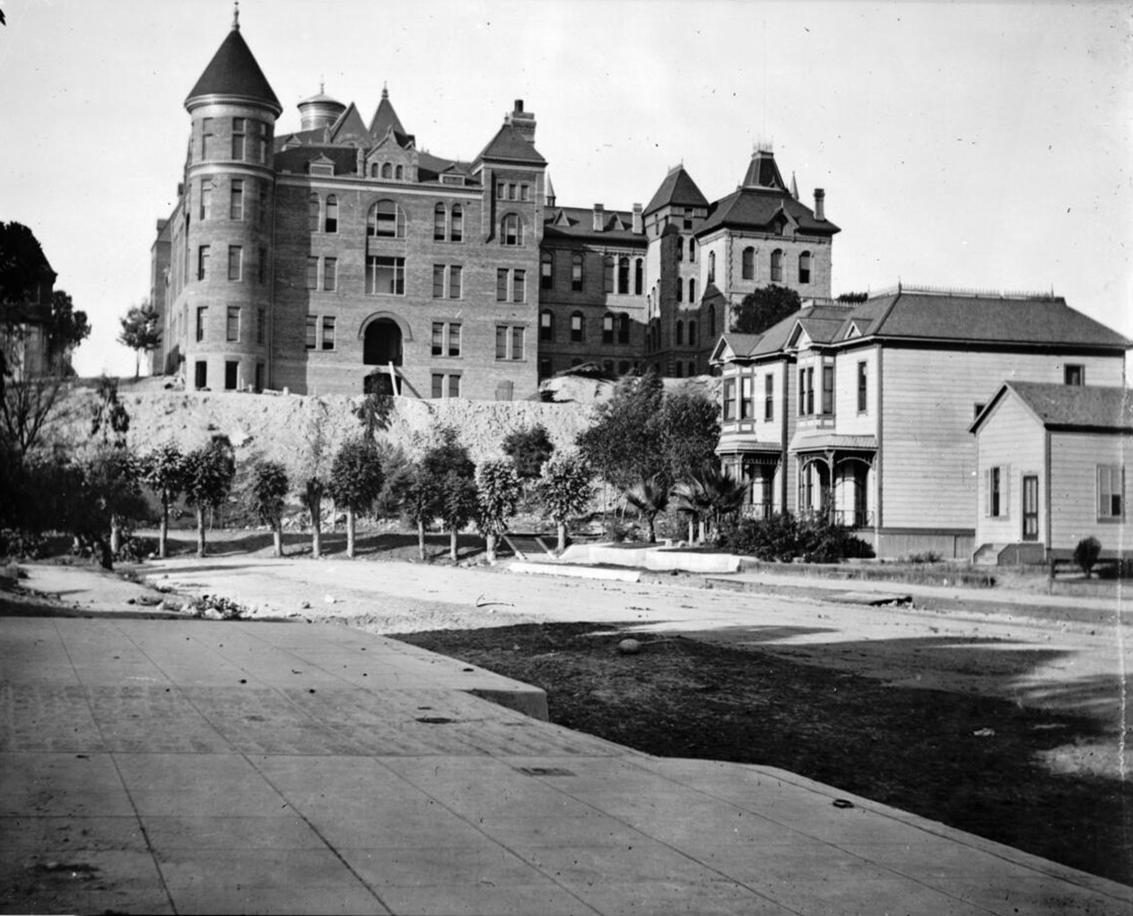
| (ca. 1898)* - Exterior view of the Los Angeles State Normal School. Residential homes can be seen below the school on Normal Hill. |
Historical Notes The school's elevated location became known as Normal Hill, the last major knoll on the southern end of Bunker Hill. Students and visitors could reach the school by following a winding driveway or climbing a long stairway from Fifth Street. The large Victorian brick building, with its tall windows, gables, towers, and chimneys, became a prominent landmark on the western edge of downtown. What had once been an orange grove overlooking a small city was gradually surrounded by the rapidly expanding Los Angeles business and residential districts. |
.jpg) |
|
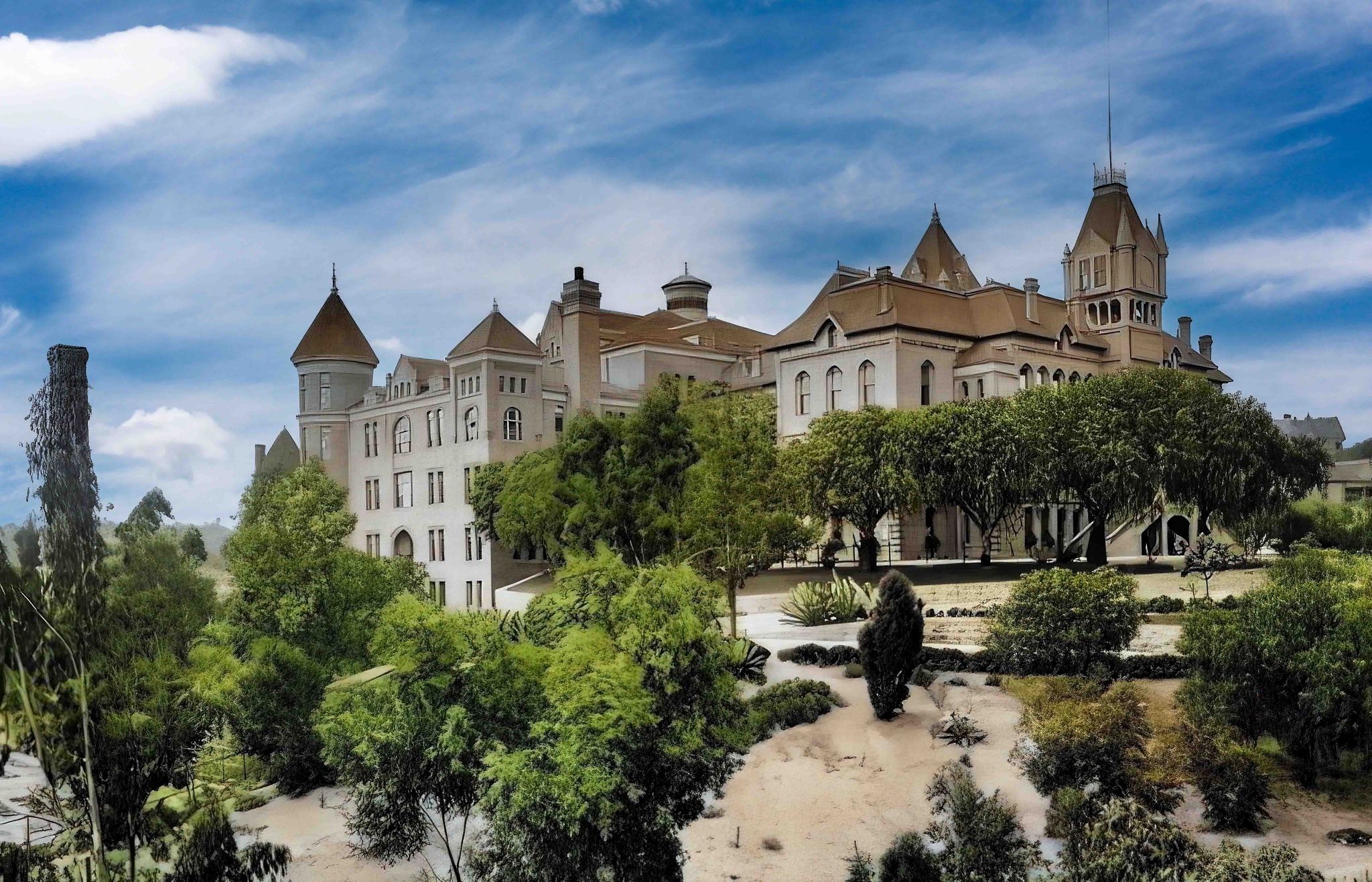
| (ca. 1905) - The large Victorian Normal School building can be seen overlooking its landscaped grounds. The building features steep gables, towers, tall windows, and several chimneys. Smaller campus buildings can be seen at right. |
Historical Notes During its years on Normal Hill, the school grew along with Southern California. New facilities and programs were added as teacher training became increasingly important to the region's expanding school system. As enrollment continued to increase, the limitations of the downtown campus became more apparent. The school needed more room to accommodate its growing student body and expanding programs. |
 |
|
| (ca. 1905)* - Colorized view of the Los Angeles State Normal School and its grounds. Photo by C.C. Pierce; photo enhancement and colorization by Richard Holoff. |
 |
|
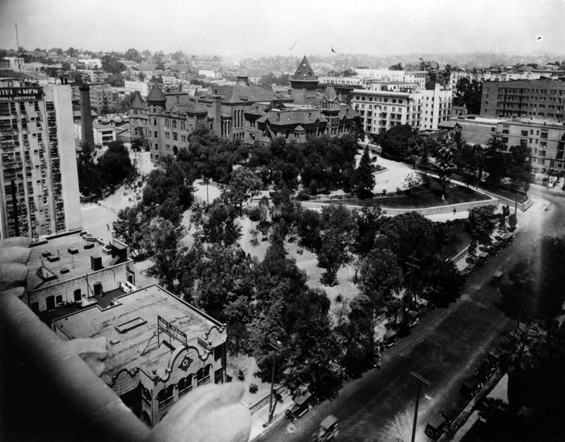
| (ca. 1913)* - Aerial view of the State Normal School, located at Grand Avenue and 5th Street. Because the school sat impressively on the last knoll of Bunker Hill, aptly dubbed "Normal Hill", there were two ways to get to the main entrance: either taking the long and winding driveway located on the left side, or a long flight of stairs on the right (partially covered by the trees), which was parallel to 5th Street. The large white building on the middle left is the Bible Institute, later to become the Church of the Open Door/Biola Institute, that was located on Hope Street; the Key West Rooms and Apartments is visible on the lower left. |
Historical Notes By the early twentieth century, the school was increasingly hemmed in by the growing city. Fifth Street ended at Normal Hill, while Hope Street approached the hill from the south but could not continue through it. The hill that had provided an impressive setting for the school had become an obstacle to downtown traffic and development. The school itself was also running out of room. Following a legislative appropriation in 1911, the state acquired approximately 25 acres on North Vermont Avenue. The Normal School moved there in September 1914, leaving its downtown home after more than three decades. |
Then and Now |
The following comparisons show how completely this section of downtown Los Angeles changed after the Normal School left. Normal Hill was substantially cut down, streets that once ended at the hill were extended, and the Central Library and later downtown development transformed the surrounding neighborhood. |
 |
|
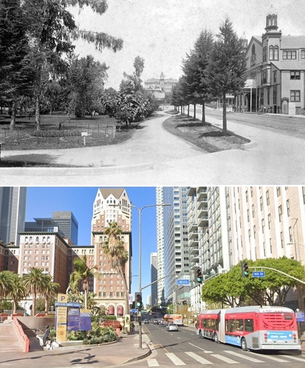
| (1890 vs 2021)* - Looking west on Fifth Street at Hill Street. In the early image, Sixth Street Park (now Pershing Square) is on the left. The State Normal School can be seen in the distance at Grand Avenue, where Fifth Street originally ended at Normal Hill. Hazard's Pavilion stands on the right. Photo comparison by Jack Feldman. |
Historical Notes This comparison shows how Normal Hill once affected the street pattern of downtown Los Angeles. Fifth Street did not continue west through the hill as it does today. Instead, the State Normal School stood prominently in its path. Hazard's Pavilion, built in 1887, was later replaced by the Temple Auditorium, subsequently known as the Philharmonic Auditorium. After the old Normal School was removed, Fifth Street was extended through Normal Hill, creating the street alignment seen today. |
 |
|
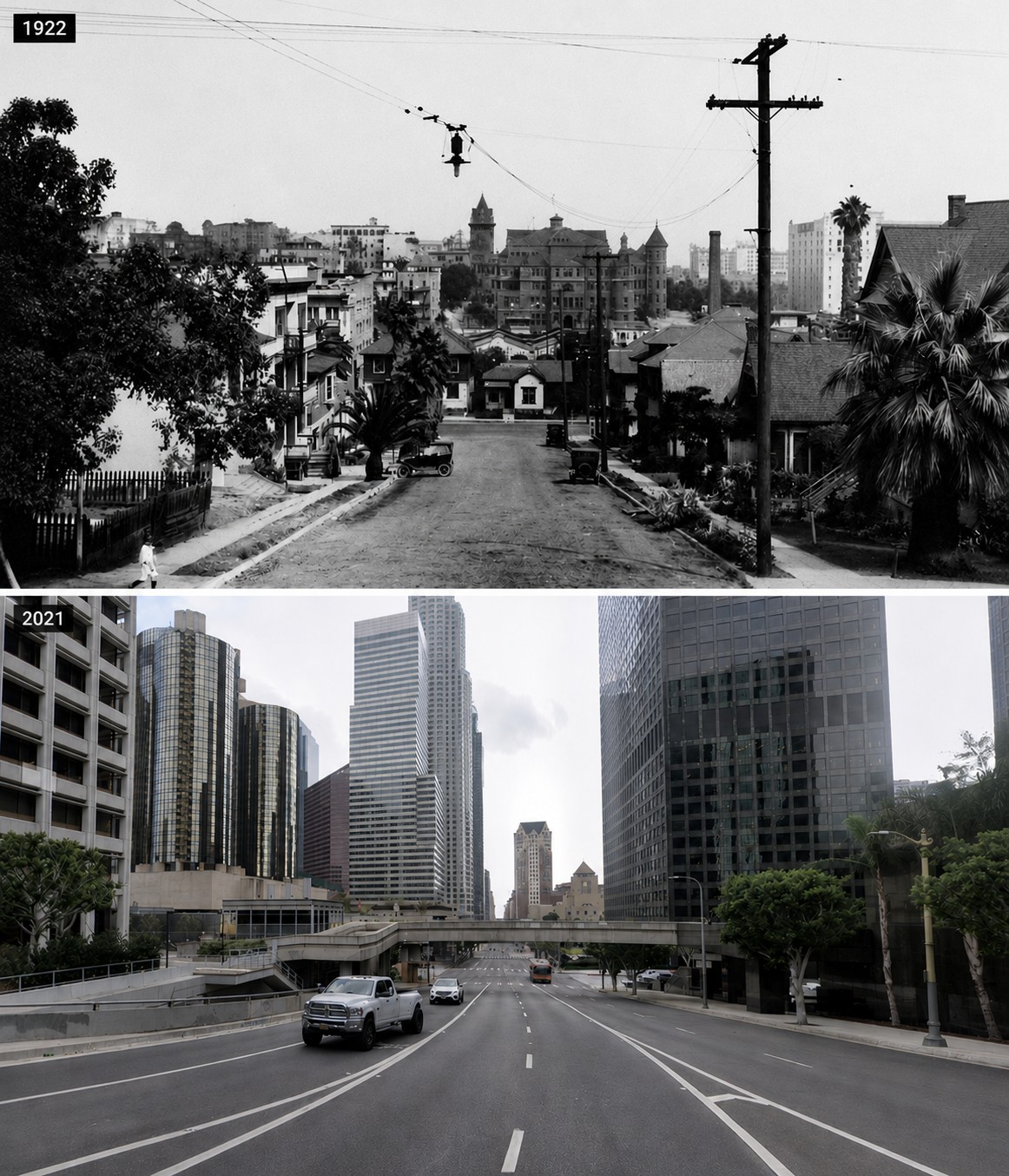
| (1922 vs 2021)* – Looking east on Fifth Street toward Normal Hill. The 1922 photograph shows the former State Normal School building still standing above Fifth Street, several years after the school itself had moved to Vermont Avenue. Today, Fifth Street passes through what was once the hilltop campus. Photo comparison by Jack Feldman. |
Historical Notes The institution had already left downtown when the 1922 photograph was taken. In 1914, the Los Angeles State Normal School moved to a much larger campus on Vermont Avenue, where its continuing growth soon led to an important transformation. Click HERE to see more Early Views of the Normal School and UCLA. |
From Normal Hill to Central Library |
After the Normal School moved to Vermont Avenue, its former downtown property became a possible site for the permanent Los Angeles Central Library. In 1922, Normal Hill was transferred to the Library, although the old school building was still being used by city departments. The Library Board paid the city $100,000 in January 1923 in connection with clearing the site.The old building was later removed and much of Normal Hill was cut down so Fifth Street could be extended through the property. The cornerstone of the new Central Library was laid in May 1925, and the library opened in 1926. Designed by Bertram Grosvenor Goodhue, it remains one of downtown Los Angeles's major landmarks.The transformation involved much more than replacing one public building with another. A hill was substantially reduced, the surrounding street pattern was changed, and a site associated with the beginnings of UCLA became the permanent home of the Los Angeles Central Library. |
 |
|
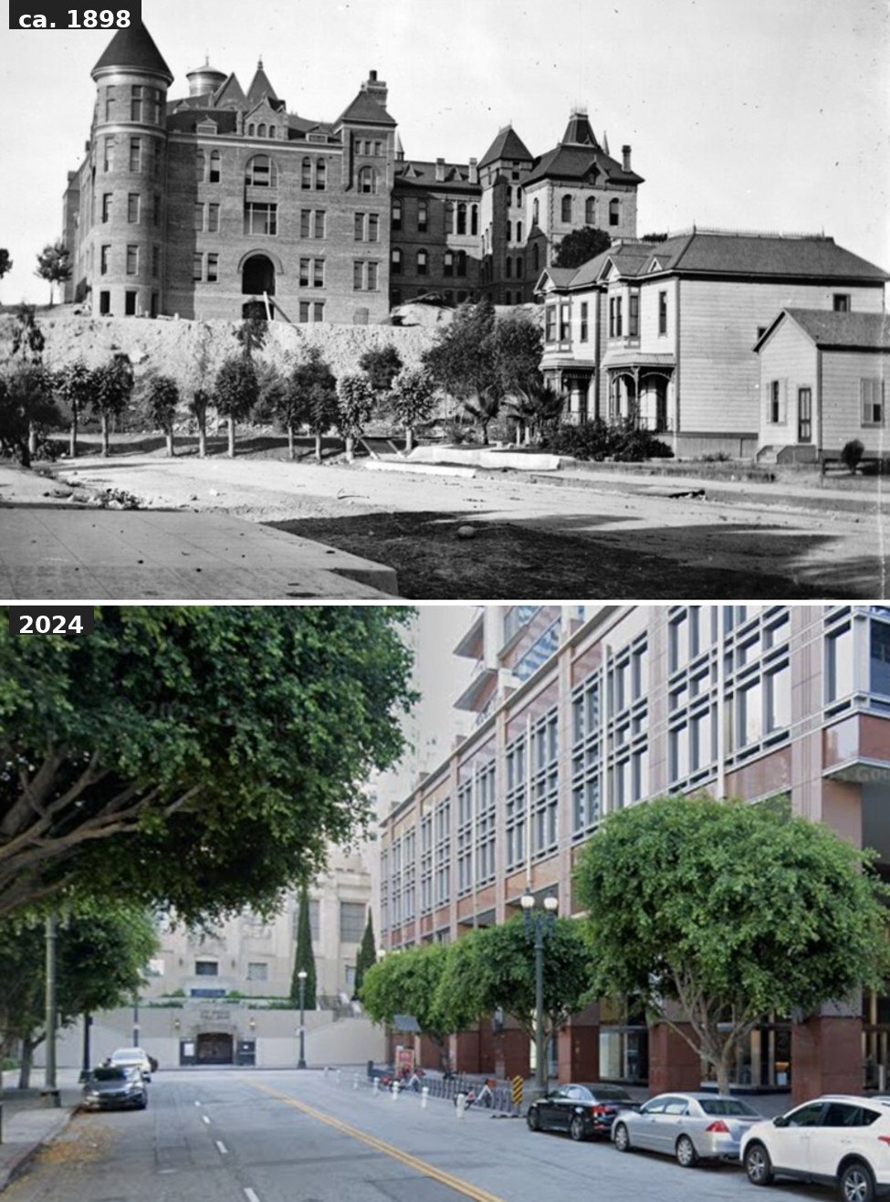
| (ca. 1898 vs. 2024)* – Looking north on Hope Street from near Sixth Street. In the early view, Hope Street ends beneath Normal Hill and the Los Angeles State Normal School. Today, Hope Street continues north through a landscape dominated by the Central Library and downtown's Financial District. Photo comparison by Jack Feldman. |
Historical Notes More than a century separates these two views, yet both were photographed from nearly the same location. The comparison documents how completely this part of downtown Los Angeles was transformed. Normal Hill has largely disappeared, Hope Street has been extended, the State Normal School has given way to the Los Angeles Central Library, and the Victorian neighborhood surrounding the old campus has been replaced by the modern Financial District. Yet one connection remains: the teacher training school that once stood above Hope Street eventually evolved into UCLA. |
Click HERE to see more Early Views of the Normal School and UCLA. |
* * * * * |
Olive Street School |
From Grammar School to Manual Arts High School |
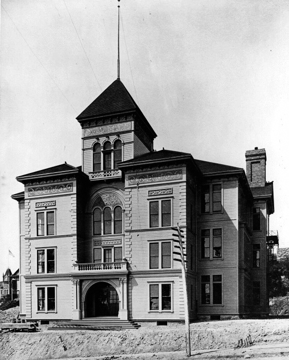
Located on the west side of Olive Street between Fourth and Fifth streets, the Olive Street School served Los Angeles during a period of rapid population growth. Originally a grammar school, the building took on a much larger role in 1909 when overcrowding at the city's high schools led the Board of Education to use it for additional high school students. Within a year, more than 500 students and 16 teachers occupied the temporary quarters. The program helped give rise to Manual Arts High School, which opened on Vermont Avenue in 1910. The Olive Street School continued to serve educational purposes afterward and in 1915 became the site of a series of public lectures by internationally known educator Maria Montessori. |
 |
|
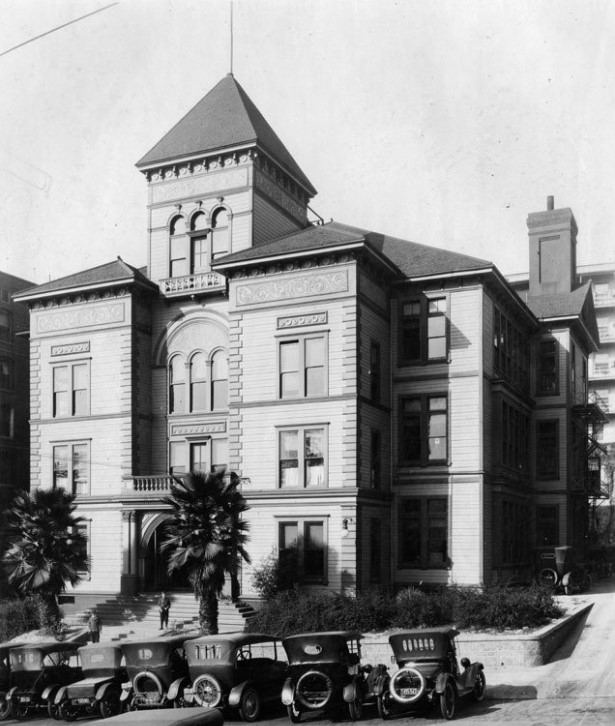
| (ca. 1900)* - View of the Olive Street School at 419 S. Olive Street, on the west side of Olive Street between Fourth and Fifth streets. The photograph appears to have been taken near the end of construction, with a workman's ladder lying across the front steps. |
Historical Notes Built around the turn of the twentieth century, the Olive Street School was one of the city's grammar schools serving the growing downtown population. A newspaper account from May 1909 records Memorial Day exercises being held at the school, shortly before the building took on a new role. Later that year, overcrowding at Los Angeles High School and Polytechnic High School led the Board of Education to use the Olive Street building for additional high school students. More than 500 students and 16 teachers soon occupied the temporary quarters. In 1910, the program moved to a new campus near Vermont Avenue and 42nd Street under its first principal, Dr. Albert E. Wilson, and became Manual Arts High School. |
A Later Chapter: Maria Montessori The Olive Street School continued to serve educational purposes after the future Manual Arts High School moved away. In 1915, internationally known Italian physician and educator Maria Montessori gave a series of 10 public lectures over six weeks at the school. Beginning on May 27, the lectures were part of Montessori's extended visit to Southern California. |
 |
|
| (ca. 1920)* - Exterior view of the Olive Street School at 419 S. Olive Street, on the west side of Olive Street between Fourth and Fifth streets. |
Historical Notes Built around the turn of the twentieth century, the Olive Street School had already played several roles in Los Angeles education by the time this photograph was taken, from grammar school to temporary high school and a venue for public educational programs. The building remained in educational use into the early 1920s. In 1922, delegates to the southern section of the State Teachers' Association met at the Olive Street School to discuss educational legislation. The surrounding neighborhood, however, was changing rapidly as downtown commercial development expanded toward Bunker Hill. |
 |
|
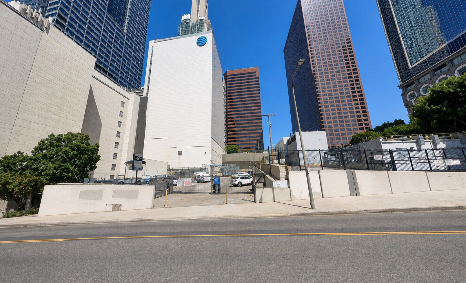
| (2024)* - Contemporary view looking west toward the former site of the Olive Street School at 419 S. Olive Street. The school once stood on the site of the surface parking lot seen here, immediately north of the AT&T Madison Complex at 433 S. Olive Street. |
Historical Notes Little remains today to suggest the educational history of this site. The Olive Street School once stood here on the west side of Olive Street between Fourth and Fifth streets, serving successively as a grammar school, temporary quarters for high school students, and a venue for public educational programs. Among the school's most notable chapters were its role in the development of Manual Arts High School beginning in 1909 and Maria Montessori's series of public lectures there in 1915. The school building is gone, and its former site at 419 S. Olive Street is now occupied by the surface parking lot seen above. |
* * * * * |
For more than 80 years, the A. L. Bath Building stood at the southeast corner of Fifth and Hill Streets, directly across from Pershing Square. Completed in 1898 and designed by prominent Los Angeles architect Robert Brown Young, the three-story building was distinguished by ornate bay windows, decorative arches, and a domed corner tower bearing the name “A. L. BATH.” Its upper floors originally housed the Willoughby Hotel, while shops and other businesses occupied the street level.Developed by Albert Leander Bath, the building reflected the ornate commercial architecture of Los Angeles at the end of the 19th century. The Willoughby Hotel operated for less than two decades, but the building survived for many years afterward as the Bath Block, housing offices, shops, restaurants, and other businesses. Over time, its distinctive tower and much of its original architectural detailing disappeared.By the 1970s, the three-story Bath Building was dwarfed by the much larger buildings surrounding Pershing Square, yet it remained a recognizable survivor from an earlier Los Angeles. The building was demolished in 1980. Today, the corner forms part of the entrance area for the Pershing Square Metro station, completing a transformation that saw horse-drawn vehicles, streetcars, buses, automobiles, and eventually subway trains serve the same downtown intersection. |
 |
|
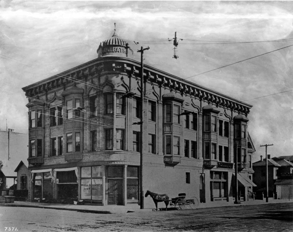
| (ca. 1900)* – View showing the A. L. Bath Building at the southeast corner of Fifth and Hill Streets, directly across from Central Park (now Pershing Square). Built in 1898, the three-story building featured ornate bay windows, decorative arches, and a distinctive domed corner tower bearing the name “A. L. BATH.” The upper floors housed the Willoughby Hotel, while commercial businesses occupied the street level. A horse-drawn carriage waits at the curb. |
Historical Notes The A. L. Bath Building was developed by Albert Leander Bath, a Nova Scotia native who worked in Los Angeles as a wheelwright and businessman. He hired architect Robert Brown Young to design the building, which incorporated Moorish Revival influences and ogee-shaped arches into its elaborate late-Victorian appearance. Bath reportedly named the Willoughby Hotel for his mother's maiden name. The hotel was managed during its early years by Mrs. E. Hollingsworth and contained about 30 rooms. At the turn of the century, the Willoughby stood among other early landmarks near Central Park, including Hazard's Pavilion and St. Paul's Episcopal Cathedral. The park itself was still surrounded by a mixture of residences, hotels, churches, and businesses, giving this part of downtown a very different appearance from the dense commercial district that would follow. |
 |
|
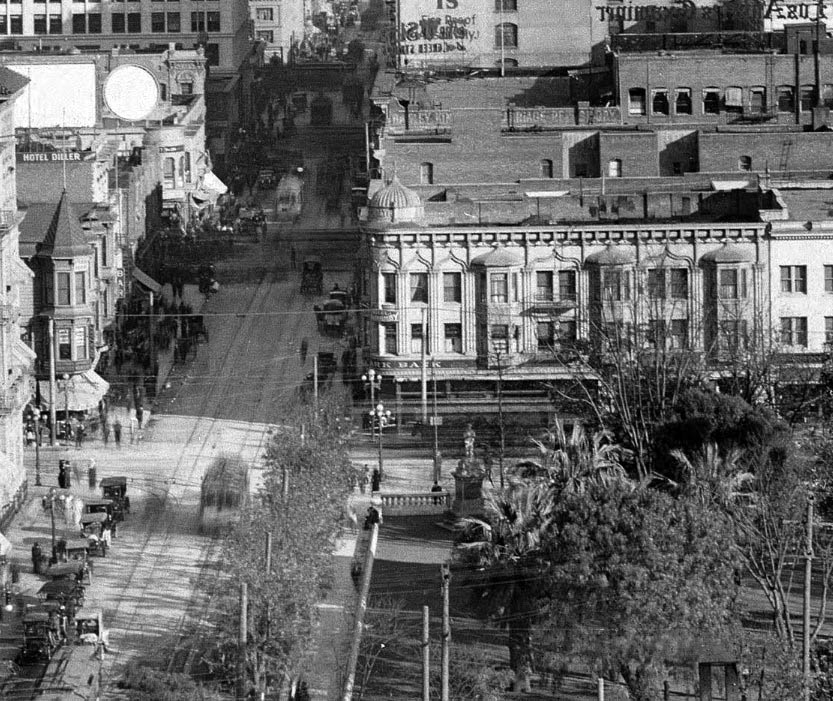
| (ca. 1913)* - Looking east on Fifth Street toward Hill Street, with the A. L. Bath Building and Willoughby Hotel on the southeast corner. Its distinctive corner tower and bay windows remain intact, while Central Park (now Pershing Square) is seen in the foreground at right. Streetcars and increasing commercial development reflect the rapid growth of downtown Los Angeles. |
Historical Notes By the 1910s, the Willoughby Hotel shared the east side of Central Park with the Boos Bros. cafeteria, Portsmouth Hotel, Lillie Hotel, and a growing collection of shops and other businesses. The area surrounding the park was becoming increasingly commercial as downtown Los Angeles expanded southward. In November 1918, Central Park was renamed Pershing Square in honor of General John J. Pershing, commander of the American Expeditionary Forces during World War I. The Willoughby Hotel ceased operating as a hotel by the late 1910s, less than two decades after the Bath Building was completed. The building itself remained in use, however, and became commonly known as the Bath Block. Its former hotel rooms were converted to offices and other commercial uses, beginning a second life for the building that would continue for decades. |
 |
|
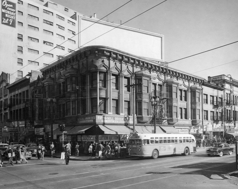
| (1951)* - The former A. L. Bath Building still stands at the southeast corner of Fifth and Hill Streets, but its appearance has changed considerably. The original corner tower and much of the ornate roofline have been removed, and a large billboard occupies the roof. Behind it rises the much larger Fifth Street Store building, then operating as Milliron's. Buses have replaced the streetcars seen in earlier views. |
Historical Notes During the first half of the 20th century, the Bath Building gradually lost many of the architectural features that had once made it distinctive. Its corner tower and elaborate upper detailing were removed, leaving a flat roofline that was increasingly used for large advertising signs. Despite these alterations, the building continued to house shops at street level and offices and other businesses above. By 1951, the three-story Bath Block was increasingly overshadowed by its larger neighbors. Behind it stood the Fifth Street Store building, completed in 1927 and known over the years as the Fifth Street Store, Milliron's, and later Ohrbach's. The contrast between the small 1898 Bath Building and the much larger structures surrounding it illustrates how dramatically the Pershing Square district had changed in little more than half a century. |
 |
|
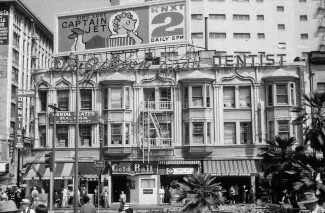
| (1955)* - View of the Bath Block, formerly the Willoughby Hotel, at 506 South Hill Street. A rooftop billboard advertises the children's television program Captain Jet and the Little Rascals. Dr. Albert L. Gibson's dental office occupies space on the second floor, while shops continue to operate at street level. Little remains of the building's original architectural detailing. Photo by Palmer Conner. |
Historical Notes By the 1950s, the former hotel had become a typical downtown commercial building, with professional offices occupying portions of the upper floors and retail businesses serving pedestrians at street level. The ornate corner tower that once advertised A. L. Bath's name had been replaced visually by large rooftop billboards aimed at the heavy pedestrian and automobile traffic surrounding Pershing Square. The Captain Jet billboard also provides a useful clue to the photograph's date. Captain Jet and the Little Rascals was a locally produced children's television program broadcast in Los Angeles during the mid-1950s. Its appearance above the Bath Block captures a very different era in the building's history, when television advertising and commercial signs had replaced the architectural ornament that originally distinguished the corner. |
 |
|
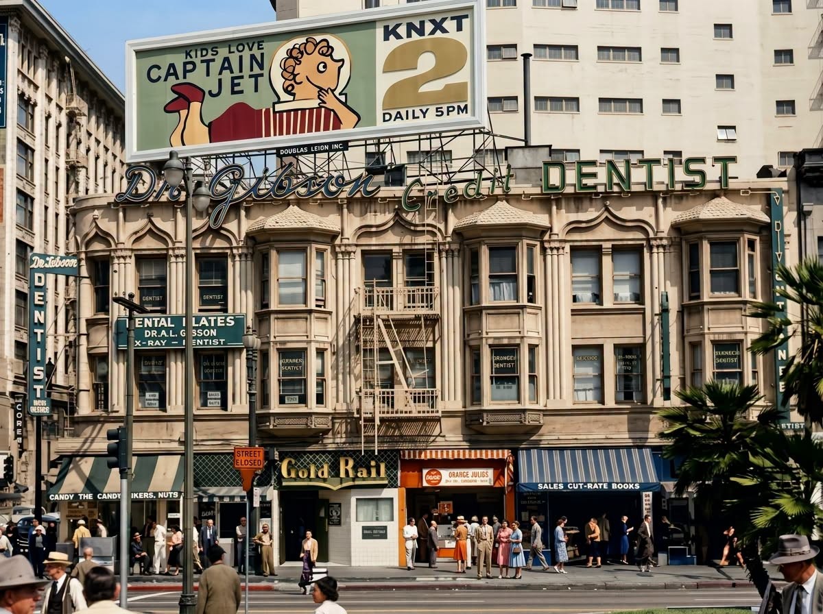
| (1955)* - Color view of the Bath Block, formerly the Willoughby Hotel, at 506 South Hill Street. A rooftop billboard advertises the children's television program Captain Jet and the Little Rascals. Dr. Albert L. Gibson's dental office occupies space on the second floor, while shops continue to operate at street level. Photo by Palmer Conner. AI enhanced by Classic Los Angeles. |
Historical Notes Palmer Conner photographed this scene in color in 1955, providing a rare color record of the Bath Block and the surrounding Fifth and Hill streetscape during the mid-1950s. The rooftop advertising, storefronts, signs, and building façades help document the commercial character of the Pershing Square area at the time. By then, the Bath Block bore little resemblance to the ornate building that had opened in 1898. Its distinctive corner tower and much of its original architectural detailing had disappeared, while professional offices and street-level businesses continued to occupy the building. The image shown here has been AI enhanced from Conner's original color photograph to improve its visual clarity. |
 |
|
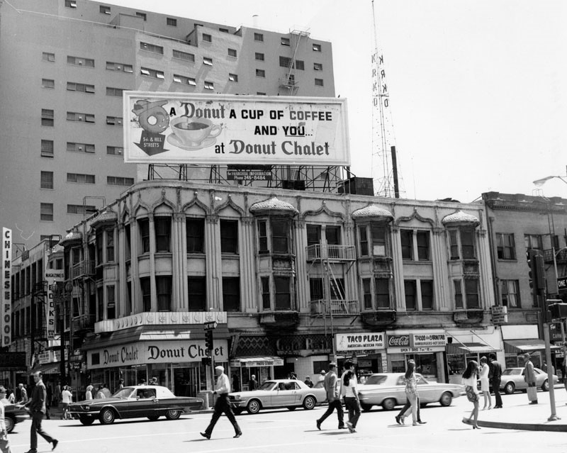
| (1971)* - Looking southeast at the corner of Fifth and Hill Streets, where the former A. L. Bath Building still occupies the corner more than 70 years after it was built. A rooftop sign advertises Donut Chalet, which occupies part of the ground floor along with other businesses. Stripped of its original tower and decorative roofline, the building bears little resemblance to the Willoughby Hotel of the early 1900s. |
Historical Notes By the 1970s, the former Willoughby Hotel had become a modest survivor of an earlier Los Angeles. Its ornate architectural details had long since disappeared, and its three-story scale was dwarfed by the taller office buildings and hotels that had risen around Pershing Square. Nevertheless, shops and other businesses continued to occupy the property. The Bath Building survived until 1980, more than eight decades after its construction. Although almost all of the architectural character visible in the early photographs had disappeared, the underlying 1898 structure remained at Fifth and Hill through decades of change in downtown Los Angeles. |
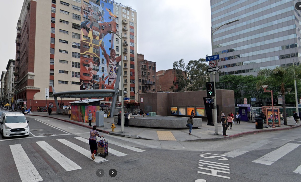 |
|
| (2024)* – Looking at the southeast corner of Hill and 5th Streets in downtown Los Angeles, showing the entrance to the Pershing Square Metro station. This was once the site of the A.L. Bath Building, now replaced by transit infrastructure and public art. |
Historical Notes Pershing Square station opened on January 30, 1993, as part of the first segment of what was then the Metro Red Line, connecting Union Station with Westlake/MacArthur Park. The station extends beneath Hill Street and serves the historic downtown district surrounding Pershing Square. The transformation of this corner reflects more than a century of change in downtown Los Angeles. In the earliest photographs, horse-drawn vehicles passed the Willoughby Hotel. They were followed by electric streetcars, buses, and automobiles. Today, rail transit has returned underground, while almost every trace of the Victorian-era streetscape above has disappeared. |
Then and Now
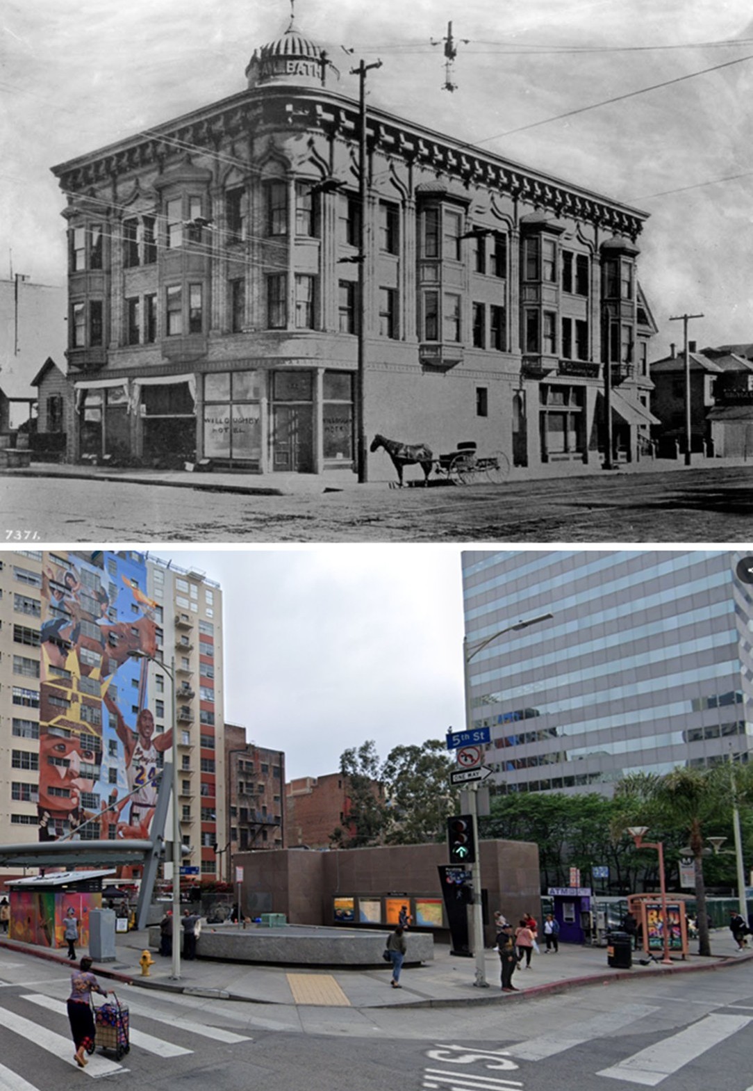 |
|
| (1900 vs. 2024)* – A “Then and Now” comparison of the southeast corner of Fifth and Hill Streets in downtown Los Angeles. In 1900, the ornate A. L. Bath Building and Willoughby Hotel occupied the corner across from Pershing Square. Today, the site forms part of the entrance area for the Pershing Square Metro station. Photo comparison by Jack Feldman. |
Historical Notes Few corners illustrate the changing face of downtown Los Angeles better than Fifth and Hill Streets. In 1900, the ornate A. L. Bath Building and Willoughby Hotel stood across from what was then known as Central Park, surrounded by a streetscape still reflecting the city's late 19th-century character. More than a century later, the building and nearly all traces of that early streetscape have disappeared. The transformation also reflects the changing ways Angelenos have moved through downtown. Horse-drawn vehicles gave way to electric streetcars, followed by buses and automobiles. Today, rail transit has returned beneath the intersection with the Pershing Square Metro station. Although the A. L. Bath Building is gone, the corner remains an important crossroads in the heart of downtown Los Angeles. |
* * * * * |
First Methodist Episcopal Church
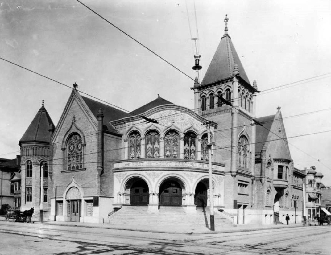 |
|
| (1902)* – View looking at the First Methodist Episcopal Church located on the northeast corner of Sixth and Hill streets. The curved entryway on the corner consists of three arched doors. Five arched stained glass windows are directly over the entryway. A square tower to the right of the entryway rises to a spire. The roof has two main peaks -- one at left, the other at right. An octagonal tower is at left. A horse-drawn wagon is parked on the curb at left and a pedestrian is walking down the sidewalk at right. |
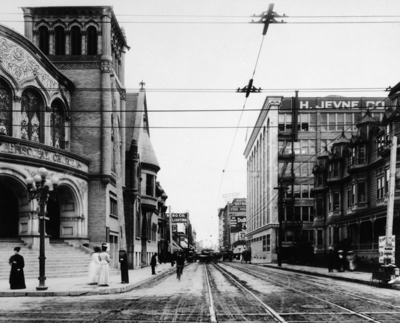 |
|
| (ca. 1900)* - View looking east on Sixth Street from Hill Street with the First Methodist Episcopal Church on the left (N/E corner). Three women and a man are in front of the church while another man is riding a bycicle. Streetcar tracks can also be seen on the unpaved road. |
 |
|
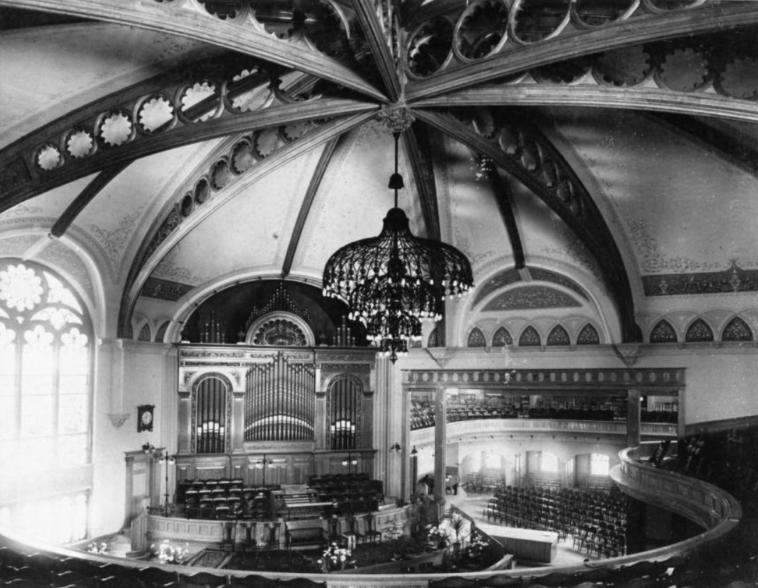
| (1900)* - Interior view of the First Methodist Church, John C. Austin is the architect. The view seems to be from an upper level of the church with the large chandelier hanging from the domed ceiling at center. Below flowers sit in front of the pulpit while the large organ pipes stand against the back wall. Daylight shines brightly from the large window at left. |
 |
|
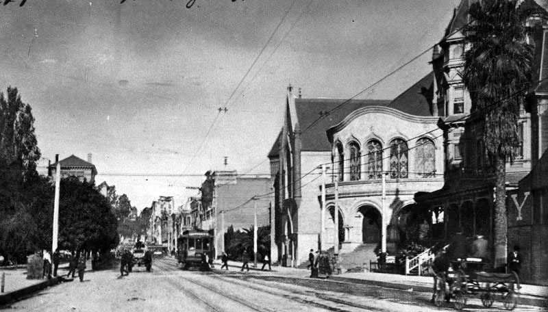
| (1906)* - View looking north on Hill Street with Central Park (Pershing Square) on the left. First Methodist Episcopal Church is on the right corner, on the N/E corner of 6th and Hill Streets. |
 |
|
| (1906)* – Postcard View looking north on Hill Street showing a horse-drawn wagon with two men heading toward 6th Street. The First Methodist Episcopal Church can be seen on the N/E corner with streetcar in front of it. Across the street on the left is Central Park (Pershing Square after 1918). |
 |
|
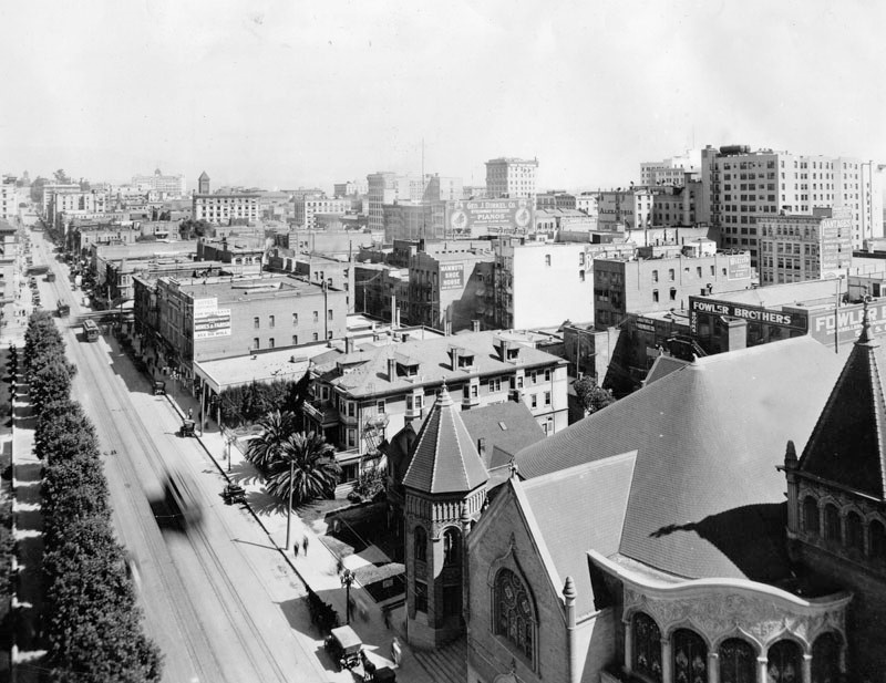
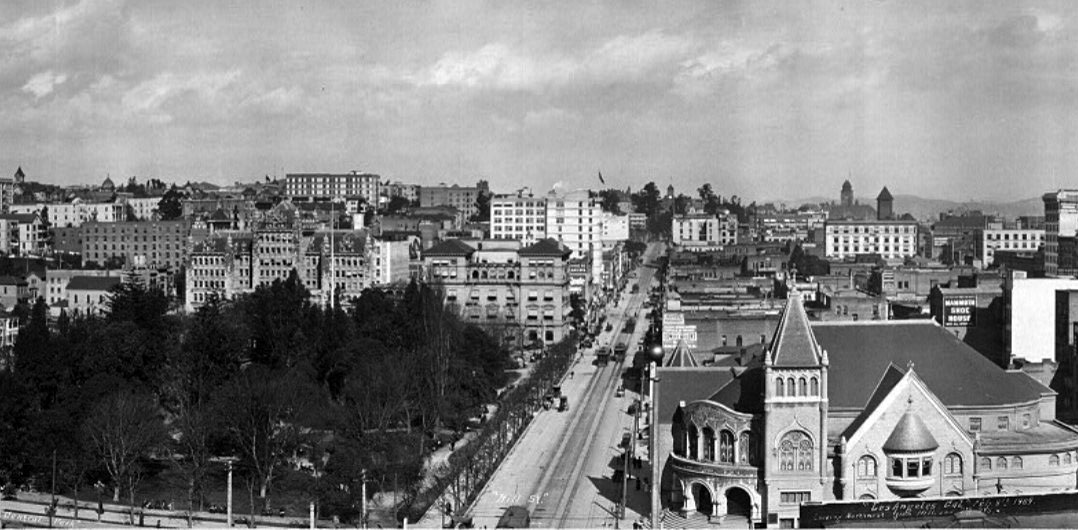
| (1909)* – Panoramic view looking north on Hill Street from over 6th Street with the First Methodist Episcopal Church seen in the lower-right (S/E corner). Central Park (later Pershing Square) is across the street on the left. On the north side of the park can be seen the Auditorium Building on the left. To its right is the California Club Building on the N/W corner of Hill and 5th streets. |
Historical Notes In 1923, the Church moved to 8th and Hope streets to accommodate the increasing numbers of parishioners. |
* * * * * |
Main and 9th Streets: The Marsh-Strong Building |
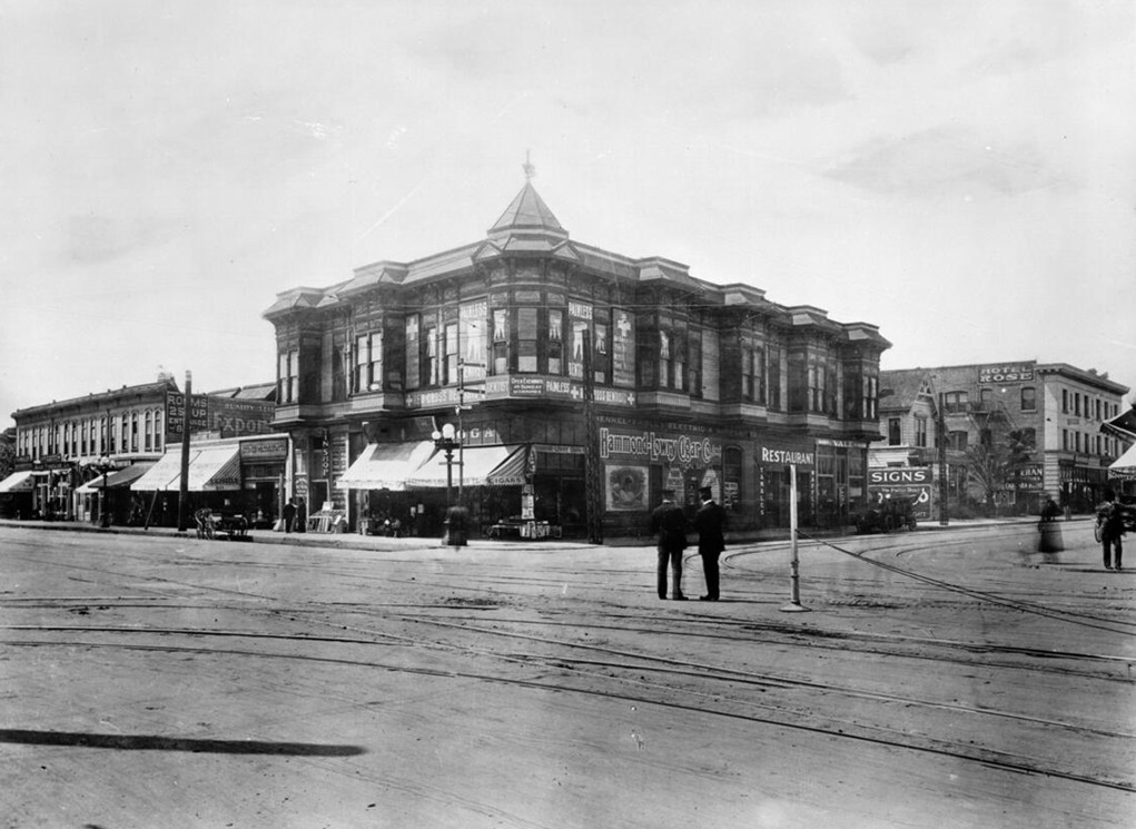
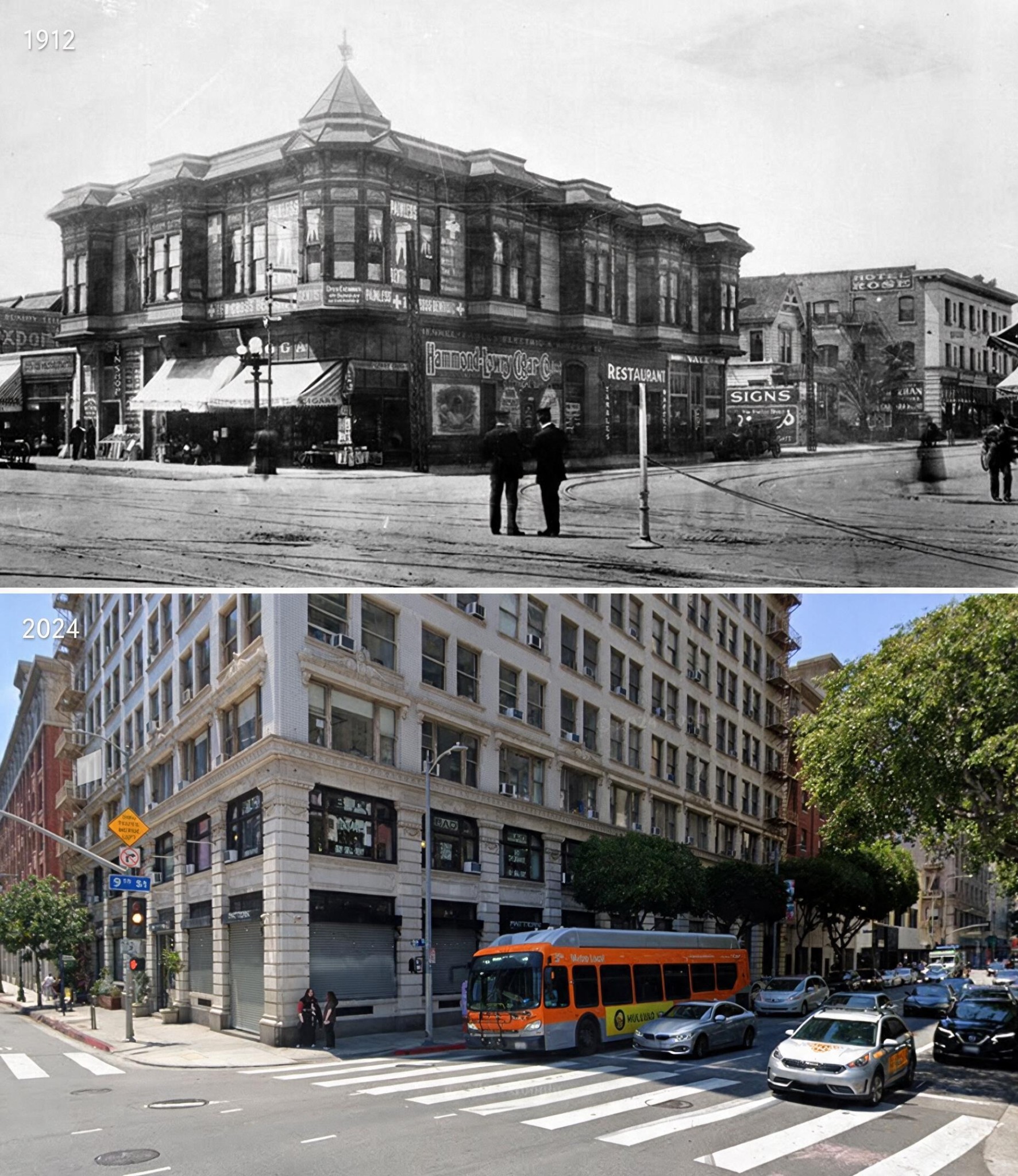
The southwest corner of Main and 9th Streets offers a vivid example of how rapidly downtown Los Angeles changed during the early 20th century. Around 1900, the corner was occupied by an ornate two-story Victorian-era commercial building with projecting bay windows and ground-floor shops. By 1912, it had been demolished to make way for the 12-story Marsh-Strong Building, completed the following year.The change reflected a much larger transformation taking place downtown. As Los Angeles grew in population and commerce, the smaller commercial buildings of the Victorian era increasingly gave way to taller, more modern office buildings. Standing where Spring Street converged with Main and 9th Streets, the Marsh-Strong Building became part of this new generation of downtown development and survives today as the L.A. Apparel Mart. |
 |
|
| (1912)* – View looking southwest at Main and 9th Streets, showing an Italianate/Victorian-style commercial building with ornate bay windows and a corner turret. Two men in uniform—likely streetcar conductors or motormen—stand in the intersection, possibly awaiting the arrival of a car or between shifts. |
Historical Notes The two-story commercial building seen above occupied the southwest corner of Main and 9th Streets during an earlier phase of downtown Los Angeles development. Its projecting bay windows, decorative cornice, corner turret, and elaborate exterior detailing reflected the Italianate influence common in late-19th-century commercial architecture. Storefronts occupied the ground floor, while offices were located above. By the early 1910s, downtown Los Angeles was changing rapidly. Population growth, rising land values, expanding streetcar service, and the continued movement of the business district southward encouraged construction of larger commercial buildings. The old corner building was demolished in 1912, clearing the site for the 12-story Marsh-Strong Building, completed the following year. Click HERE to see more on the Intersection of Main, Spring, and 9th Streets. |
 |
|
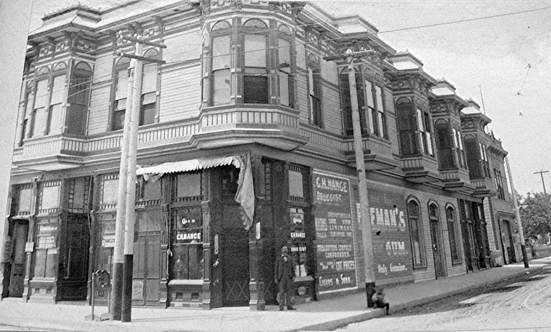
| (ca. 1900)* – Close-up view of the two-story commercial building on the southwest corner of Main and 9th Streets. C.H. Nance's Drug Store occupies the ground-floor corner storefront. A man stands near the entrance while a young boy sits at the curb, leaning against a pole. |
Historical Notes This close-up provides a better view of the building that preceded the Marsh-Strong Building. The upper floor featured projecting bay or oriel windows overlooking Main and 9th Streets, while shops occupied the street level. At the time of this photograph, C.H. Nance's Drug Store operated from the prominent corner storefront. Corner drug stores were familiar fixtures in turn-of-the-century Los Angeles, serving growing residential and commercial neighborhoods with medicines, toiletries, household goods, and other everyday necessities. The building survived until 1912, when it was demolished as downtown development pushed farther south and demand increased for larger office and commercial buildings. Its replacement would be dramatically different in scale: the 12-story Marsh-Strong Building, completed in 1913. |
Marsh-Strong Building
 |
|
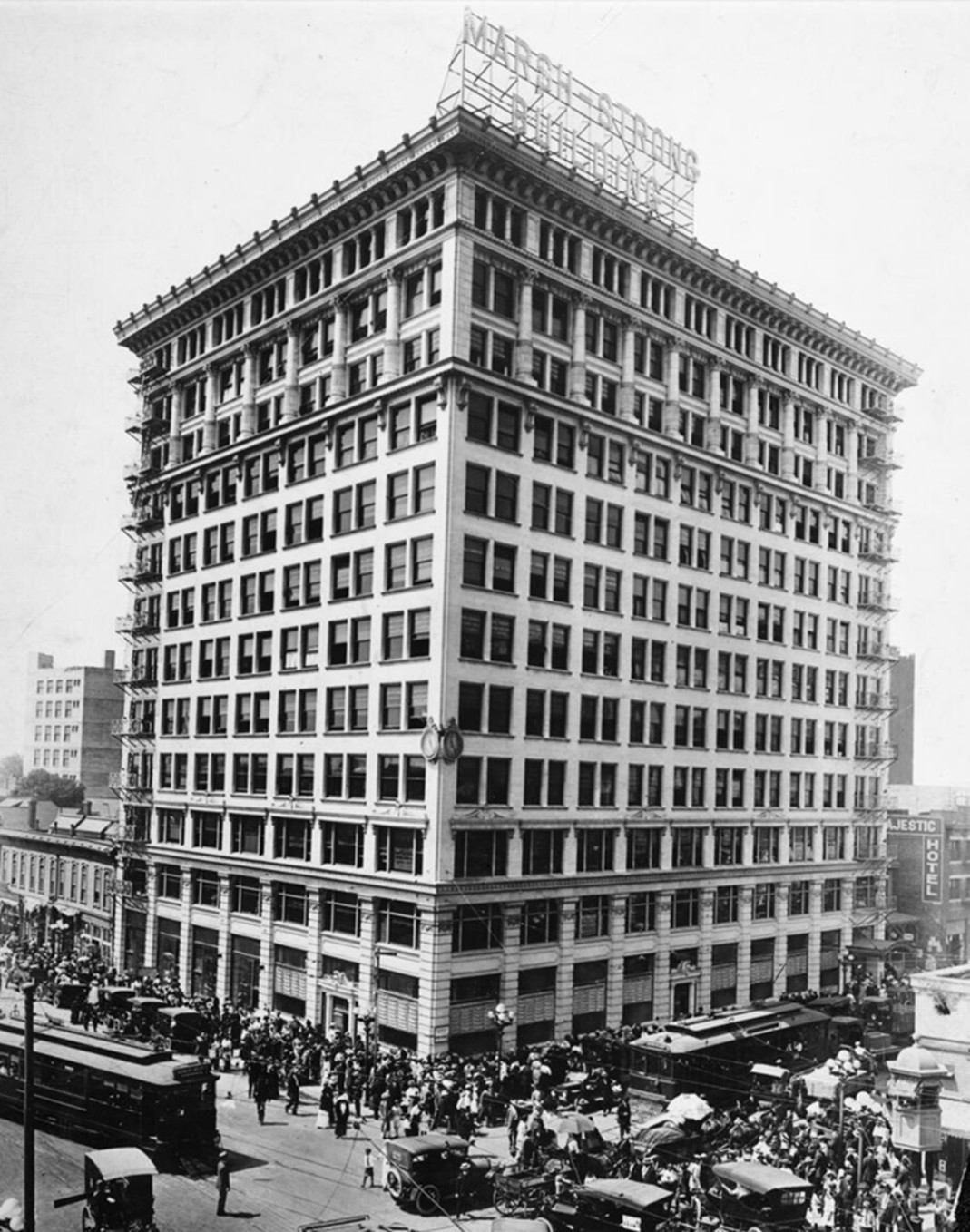
| (1914)* – The recently completed Marsh-Strong Building at the southwest corner of Main and 9th Streets in downtown Los Angeles. The 12-story commercial and office building, completed in 1913, replaced the two-story building seen in the previous photographs. |
Historical Notes The Marsh-Strong Building was designed by architect Frederick Rice Dorn, with Loyall Farragut Watson serving as supervising architect. The project was developed by Robert Marsh & Company, while Robert Marsh and real estate investor Frank R. Strong were associated with ownership of the property, their names becoming attached to the new building. Construction replaced the two-story commercial block shown in the earlier photographs and was completed in 1913. The building's brick and terra-cotta exterior extended approximately 117 feet along Main Street and 148 feet along 9th Street. A 1914 trade publication described the building as modern and fireproof and reported that it contained nearly 400 offices above its ground-floor commercial space. Its scale and construction reflected the transformation of downtown Los Angeles as smaller 19th-century buildings gave way to taller office and commercial structures. |
 |
|
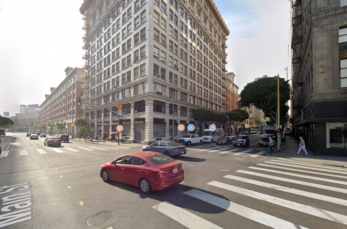
| (2022)* - Contemporary view of the former Marsh-Strong Building, now known as the L.A. Apparel Mart, at the southwest corner of Main and 9th Streets. More than a century after its completion, the 12-story building remains a prominent feature of the intersection. |
Historical Notes The Marsh-Strong Building also has an unusual connection to early Los Angeles filmmaking. In 1914, Charlie Chaplin used the building as a location for his Keystone comedy The New Janitor. In one memorable scene, Chaplin's character is washing windows when he finds himself hanging precariously outside an upper-story window of the building, an early example of the high-altitude comedy stunts that would later become closely associated with silent-film comedian Harold Lloyd. Over the following decades, the building became known as the Rives-Strong Building and eventually the L.A. Apparel Mart as the surrounding area developed into a major center of Los Angeles' garment and apparel industry. Today, the building contains more than 130,000 square feet of commercial space and survives as an early downtown high-rise more than a century after its construction. |
Then and Now
 |
|
| (1912 vs. 2024)* – A Then and Now comparison of the southwest corner of Main and 9th Streets in downtown Los Angeles. The two-story Italianate/Victorian-style commercial building seen in 1912 was demolished later that year and replaced by the 12-story Marsh-Strong Building, completed in 1913 and now known as the L.A. Apparel Mart. Photo comparison by Jack Feldman. |
Historical Notes These two views, taken more than 120 years apart, illustrate the transformation of downtown Los Angeles during the early 20th century. The ornate two-story commercial building of the Victorian era gave way to a 12-story office building as development moved south and the city's growing business district demanded larger and more modern structures. Unlike many downtown buildings of its era, the Marsh-Strong Building survived. Now known as the L.A. Apparel Mart, it continues to occupy the same prominent corner at Main and 9th Streets, preserving a visible link to the period when Los Angeles was rapidly becoming a major American city. |
* * * * * |
From Sonoratown to Chinatown: Joe Gioia's Grocery and Saloon |
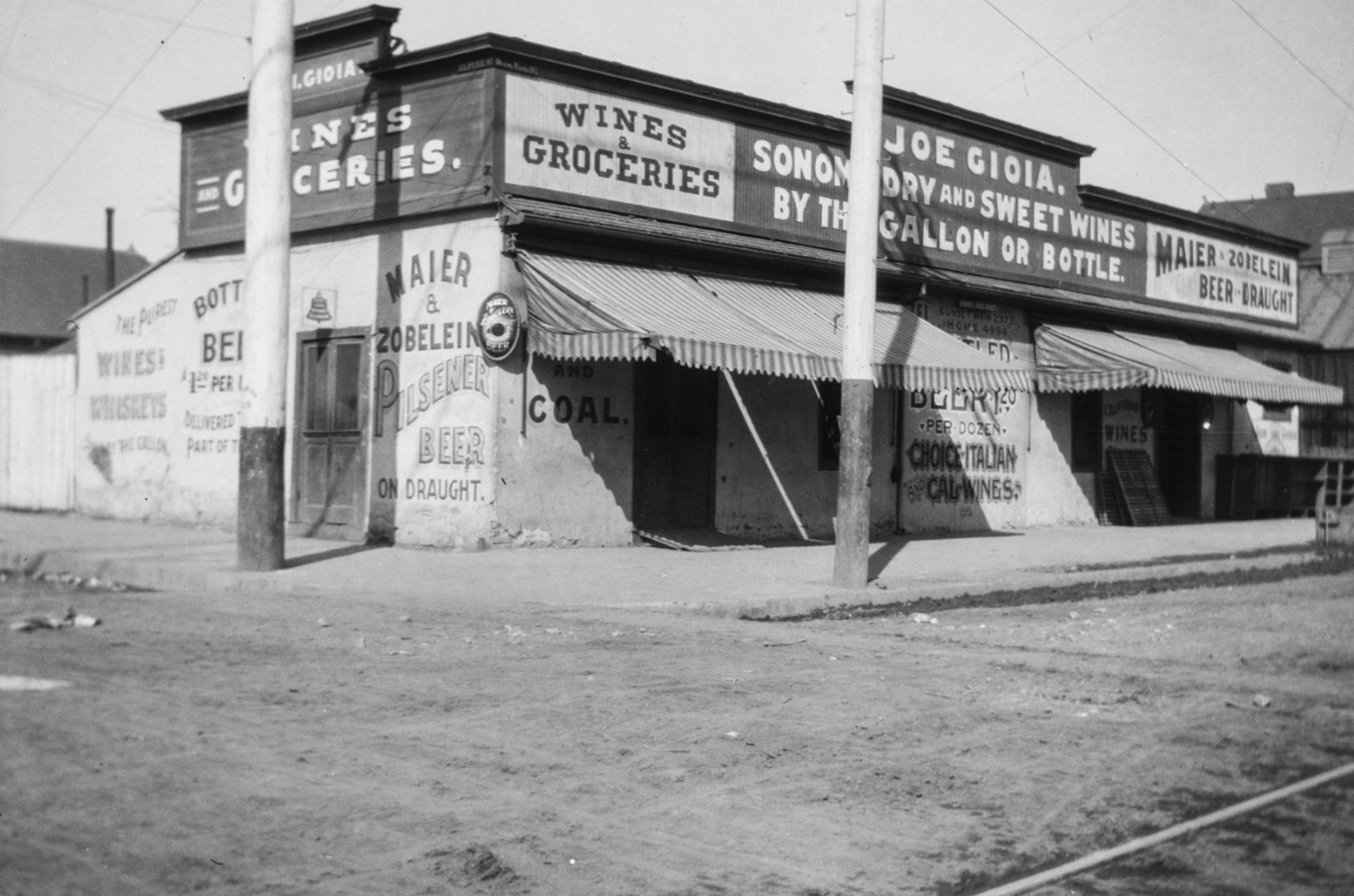
At the turn of the 20th century, the corner of Alpine and Buena Vista Streets stood within the old neighborhood known as Sonoratown, north of the Los Angeles Plaza. Here, Joe Gioia operated a neighborhood grocery and saloon whose wooden walls doubled as advertising space for groceries, wine, coal, and locally brewed Maier & Zobelein beer.The photograph captures more than a small neighborhood business. It records a part of Los Angeles where Mexican, Californio, Italian, and other immigrant communities overlapped as the city rapidly expanded around them. Buena Vista Street would later become part of North Broadway, while much of the surrounding area would eventually become today's Chinatown. |
 |
|
| (ca. 1900)* – View of the northwest corner of Alpine and Buena Vista Streets (now North Broadway), showing Joe Gioia's grocery store and saloon at 801 Buena Vista Street. Painted signs advertise groceries, wines, coal, and Maier & Zobelein beer. Photo by George Washington Hazard from the Ernest Marquez Collection. |
Historical Notes Sonoratown developed north of the Los Angeles Plaza during the 19th century and became an important center of Mexican life in the growing city. By the late 19th and early 20th centuries, the neighborhood was increasingly diverse, with Italian immigrants establishing businesses and homes alongside its Mexican and Californio residents. Parts of the old district would later become incorporated into what is now Los Angeles's Chinatown. The large Maier & Zobelein advertisement on Gioia's store provides another glimpse into turn-of-the-century Los Angeles. German immigrants Joseph Maier and George Zobelein acquired the Philadelphia Brewery in 1882 and developed Maier & Zobelein into one of the city's prominent brewing operations. Painted signs like the one covering Gioia's storefront were a common form of advertising for local breweries and merchants during this period. George Washington Hazard, who took the photograph, created an extensive visual record of early Los Angeles during a period when many of its older streets and buildings were disappearing. His photographs are especially valuable today for documenting ordinary storefronts and neighborhoods that otherwise left relatively little visual record. |
Alpine and Broadway Today
 |
|
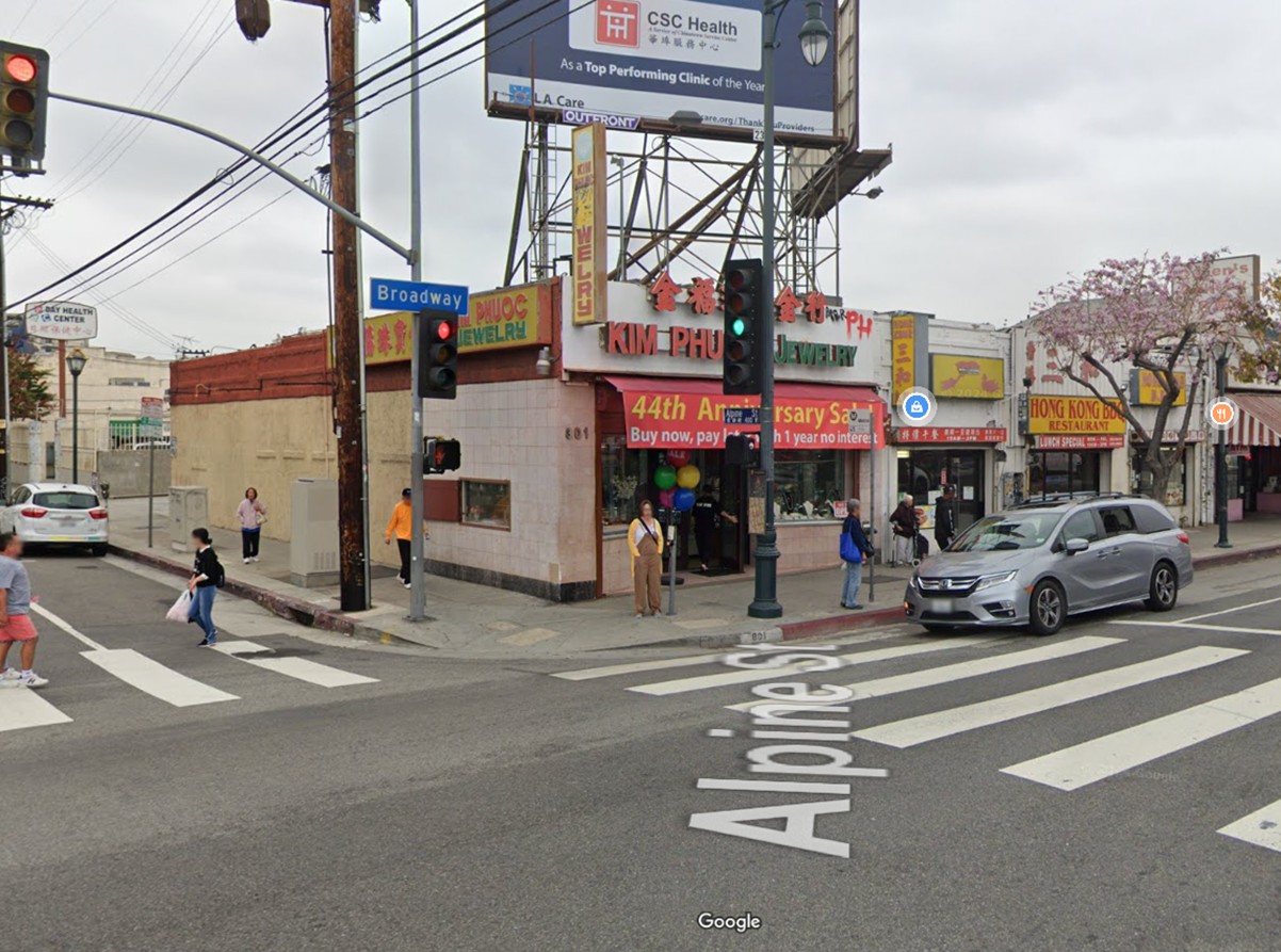
| (2024)* – Contemporary view of the northwest corner of Alpine Street and North Broadway in Chinatown. Kim Phuoc Jewelry occupies 801 N. Broadway, with Hong Kong BBQ next door at 803 N. Broadway, at the corner shown in the earlier photograph. |
Historical Notes The street names changed along with the neighborhood. Buena Vista Street once extended north from the Los Angeles Plaza area before becoming part of North Broadway during the city's early 20th-century expansion. The change helped create the continuous Broadway corridor that passes through Chinatown today. The corner also illustrates the succession and overlap of communities that have shaped this part of Los Angeles. What was once part of Sonoratown and an area of significant Italian settlement eventually became part of Chinatown, whose present-day community took shape following the displacement of Old Chinatown and the opening of New Chinatown in 1938. Yet the intersection of Alpine and Broadway remains recognizable, providing a fixed point from which more than a century of neighborhood change can be seen. |
Then and Now
 |
|
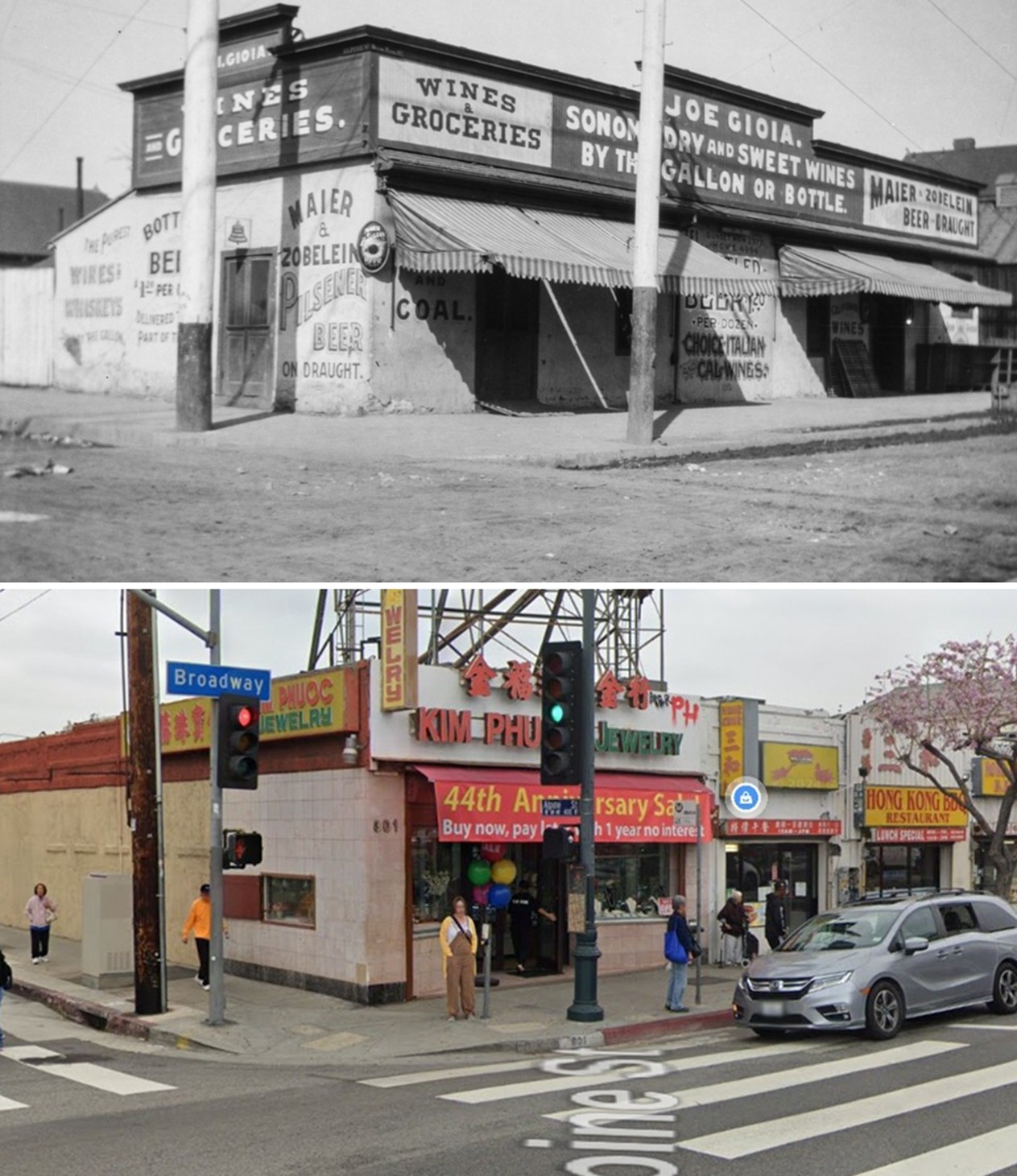
| (1900 vs. 2024)* – A Then and Now comparison of the northwest corner of Alpine Street and Buena Vista Street (now North Broadway). Joe Gioia's grocery store and saloon occupied the corner around 1900; today the site is home to Kim Phuoc Jewelry, with Hong Kong BBQ next door. Photo comparison by Jack Feldman. |
Historical Notes The two views, taken more than 120 years apart, show how completely the surroundings have changed while the intersection itself remains identifiable. The small wood-frame grocery and saloon of the Sonoratown era has given way to the dense commercial streetscape of today's Chinatown, but Alpine Street still meets the same thoroughfare once known as Buena Vista Street. The comparison also brings together several layers of Los Angeles history in a single location. The corner has been part of Sonoratown, an area of significant Italian settlement, and today's Chinatown. Its changing businesses, buildings, and street name reflect the successive and overlapping communities that have shaped this part of the city since the late 19th century. |
* * * * * |
Los Angeles Brewing Co. (aka Eastside Brewery) |
The Los Angeles Brewing Company was founded in 1897 and established its brewery along North Main Street, east of the Los Angeles River in what is now Lincoln Heights. In 1907, Bavarian-born brewer George Zobelein acquired controlling interest in the company after ending his association with the Maier & Zobelein Brewery. Under Zobelein, Eastside Beer, named for the brewery's location east of the river, became one of Southern California's best-known local beer brands.The brewery survived Prohibition by producing near beer, soft drinks, and other nonalcoholic products, then resumed beer production in 1933. The Zobelein family sold the Los Angeles Brewing Company and Eastside brand to Pabst Brewing Company in 1948. Pabst expanded the brewery and continued operating at the site until 1979. Beginning in the early 1980s, the former industrial complex was converted into artist studios and live/work lofts and today is known as the Brewery Art Colony. |
 |
|
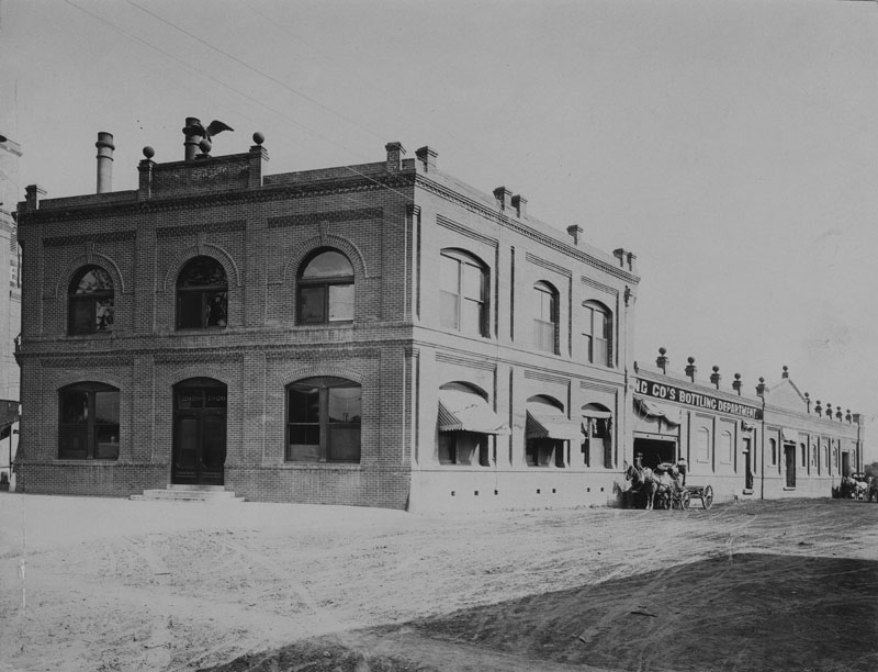
| (ca. 1900)* - Exterior view of the Los Angeles Brewing Company on North Main Street, east of the Los Angeles River in what is now Lincoln Heights. |
Historical Notes The Los Angeles Brewing Company was founded in 1897 by P. Max Kuehnrich and Edward Mathie and established its brewery along the Los Angeles River. The plant grew during the following years into a large industrial complex of brewhouses, bottling facilities, storage buildings, and other structures associated with beer production. In 1907, veteran brewer George Zobelein acquired controlling interest in the Los Angeles Brewing Company. Zobelein had previously been associated with Joseph Maier in the Maier & Zobelein Brewery, a separate Los Angeles brewing operation. Under Zobelein, the North Main Street brewery became closely identified with Eastside Beer, a name inspired by its location east of the Los Angeles River. |
 |
|
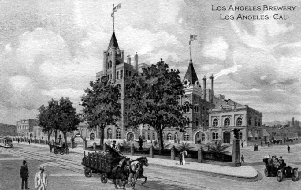
| (Early 1900s)* - Postcard view of the Los Angeles Brewing Company during its early years of operation. |
Historical Notes Los Angeles developed a substantial brewing industry during the late nineteenth and early twentieth centuries, influenced in part by German immigration and the growing popularity of lager beer and beer gardens. The Los Angeles Brewing Company entered this expanding market in 1897 and soon became one of the city's major breweries. Under George Zobelein, the brewery expanded and Eastside became one of the best-known beer names in Southern California. The brewery complex itself became a familiar landmark along the Los Angeles River and an important industrial presence in the surrounding Lincoln Heights neighborhood. |
 |
|
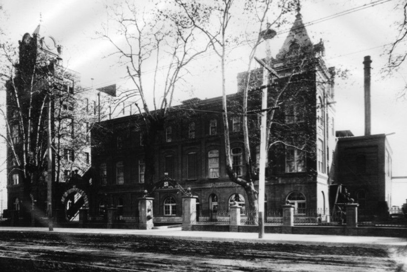
| (ca. 1908)* - View of the Los Angeles Brewing Company shortly after George Zobelein acquired controlling interest in the brewery. Lettering above the windows identifies part of the building as the company's brew house. |
Historical Notes George Zobelein had already spent decades in the Los Angeles brewing business when he acquired controlling interest in the Los Angeles Brewing Company in 1907. He had previously been associated with Joseph Maier in the Maier & Zobelein Brewery. After Maier's death in 1904, disagreements developed between Zobelein and Maier's heirs, and Zobelein eventually left the partnership and invested in the separate Los Angeles Brewing Company. The two breweries should not be confused. The former Maier & Zobelein operation continued as the Maier Brewing Company and later became known for Brew 102. Eastside Beer was produced by Zobelein's Los Angeles Brewing Company on North Main Street. The Eastside name became so closely associated with the brewery that the plant itself eventually became widely known as the Eastside Brewery. |
 |
|
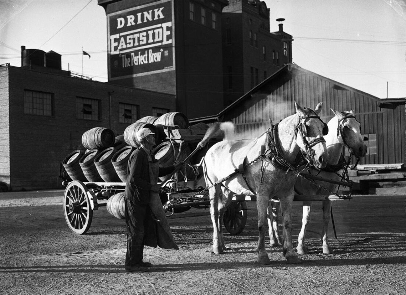
| (ca. 1933)* - A horse-drawn wagon loaded with barrels of Eastside beer stands at the Los Angeles Brewing Company while a worker brushes the backs of the two horses. |
Historical Notes National Prohibition forced the Los Angeles Brewing Company to stop producing regular beer in 1920. Unlike many American breweries that closed, the company survived by producing near beer, soft drinks, cider, and other products. It also sold malt syrup and even published a recipe booklet in 1928 promoting the syrup for cooking and baking. Since malt syrup was also a basic ingredient in home-brewed beer, its popularity during Prohibition probably extended well beyond the kitchen. Legal beer returned on April 7, 1933, and the Eastside Brewery became part of the city's celebration. Actor Walter Huston spoke at the brewery, and actress Jean Harlow ceremonially broke a bottle over the first delivery truck carrying Eastside beer from the plant after thirteen years of Prohibition. Beer production resumed, beginning another successful period for the company. |
 |
|
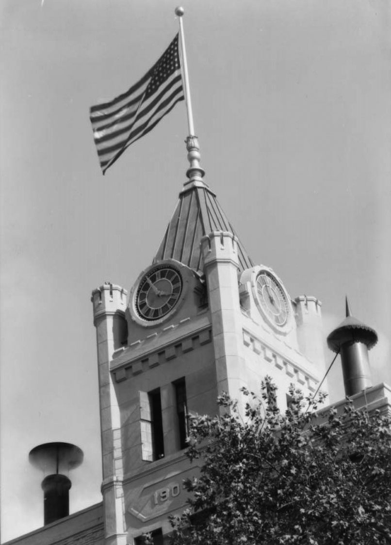
| (1934)* – Close-up view of the clock tower at the Eastside Brewery, photographed shortly after the return of legal beer production. |
Historical Notes Following the return of legal beer in 1933, Eastside again became a familiar Los Angeles brand. The brewery produced several varieties of beer and promoted the Eastside name throughout Southern California. The North Main Street plant remained under Zobelein family control through the 1930s and most of the 1940s. During these years, Eastside beer signs, advertisements, and delivery vehicles became familiar sights throughout Los Angeles, helping establish the brewery as a longtime local institution. |
 |
|
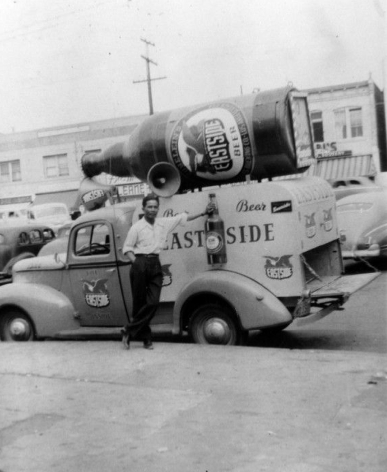
| (1940s)* - Silver Cariaso stands beside an Eastside Beer delivery truck on Alameda Street near the Los Angeles Plaza. |
Historical Notes By the 1940s, Eastside Beer was firmly established as a familiar Los Angeles brand. Delivery trucks carried beer from the North Main Street brewery to bars, restaurants, and stores throughout the region, while Eastside advertisements and signs became common sights across Southern California. The photograph provides a glimpse of the people and distribution network behind the Eastside name. Silver Cariaso is seen standing beside one of the company's delivery trucks on Alameda Street near the historic Los Angeles Plaza, several miles south of the brewery in Lincoln Heights. |
 |
|
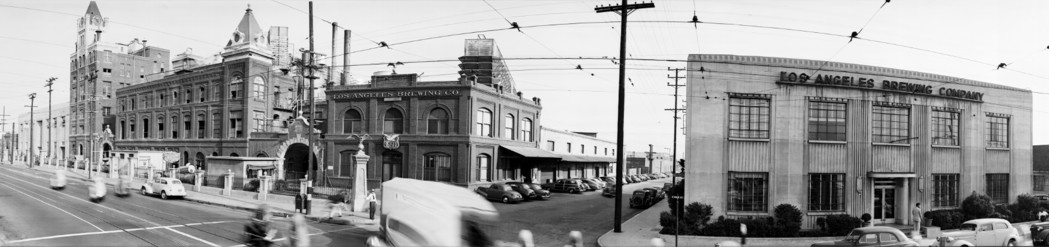
| (1949)* - Panoramic view of the Los Angeles Brewing Company complex on North Main Street, one year after its acquisition by Pabst Brewing Company. The brewery's older brick buildings are seen at left, with a more modern Los Angeles Brewing Company building at right. |
Historical Notes The Zobelein family sold the Los Angeles Brewing Company and its Eastside brand to Milwaukee-based Pabst Brewing Company in 1948. Although ownership had changed by the time of this photograph, the Los Angeles Brewing Company name remained prominently displayed on the North Main Street plant, and Eastside beer continued to be produced. Pabst soon expanded the property, constructing a new brewery adjacent to the older Eastside plant. The new facility was formally dedicated in 1953 and produced Pabst Blue Ribbon as well as Eastside beer. Pabst continued operating the Los Angeles brewery until 1979, ending more than eighty years of brewing at the site. After the brewery closed, the property was purchased by Arnold "Whitey" Carlson and his family. Beginning in the early 1980s, portions of the former industrial complex were converted into artist studios and live/work spaces. Today the complex is known as the Brewery Art Colony and is home to the Brewery Artwalk. |
* * * * * |
Chutes Amusement Park
 |
|
| (Early 1900s)* - View of the Washington Gardens Chutes Amusement Park. The Chutes Water Slide stands at center between a roller coaster and the Chutes Theater. |
Historical Notes Chutes Park began as a trolley park in 1887. It was a 35-acre amusement park bounded by Grand Avenue on the west, Main Street on the east, Washington Boulevard on the north and 21st Street on the south. At various times it included rides, animal exhibits, a theater and a baseball park. |
 |
|
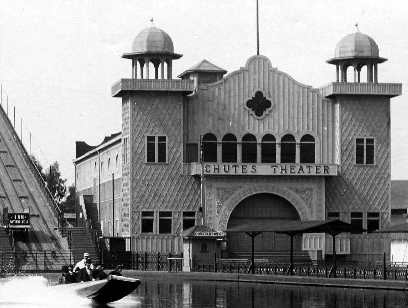
| (ca. 1901)^#^ - View of a water slide splashing down into the Chutes' lake. The beautiful ornate Chutes Theater stands on the right. |
Historical Notes The site also included, at various times, such exotic diversions as a seal pond, ostriches and the interestingly named House of Trouble and Cave of the Winds. By 1901, it also had a 4,000-seat theater and a baseball park that seated 10,000. Click HERE to see more in Early Southern California Amusement Parks |
* * * * * |
B.H. Nance’s Drug Store
 |
|
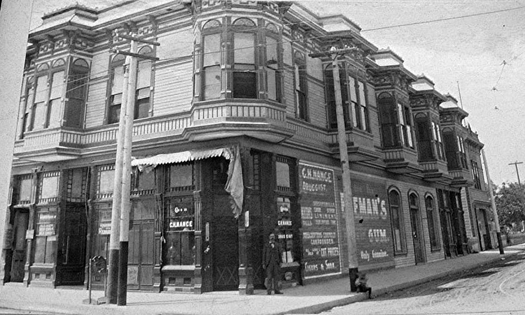
| (Early 1900s)* – View of B.H. Nance’s Drug Store on the corner of S. Main and W. 9th streets. A man is standing by the front entrance of the building while a young boy is seen sitting on the curb, leaning back against a pole. |
* * * * * |
Occidental Hotel
 |
|
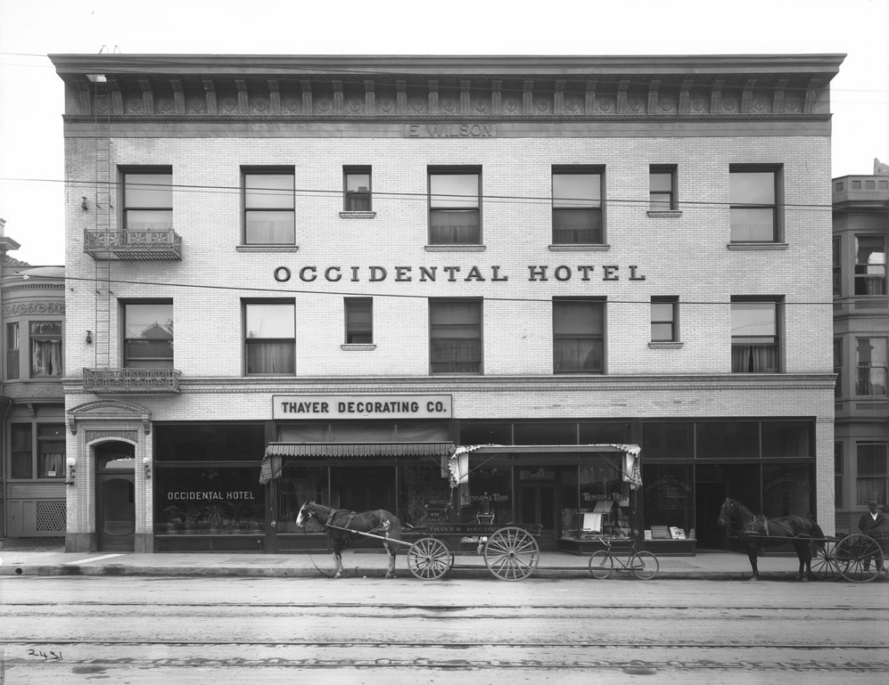
| (1900)^ - View of the Occidental Hotel located at 428 S. Hill Street. Thayer Decorating Co. is located on the street level. Architect, Robert B. Young. |
Historical Notes The Ezra Wilson Building, also known as the Occidental Hotel, was completed around 1898 at 428 South Hill Street. Though never one of the city’s landmark establishments, it was one of the earlier commercial buildings to venture into Pershing Square’s vicinity, at the onset of its rapid transition from residential district to downtown center. |
 |
|
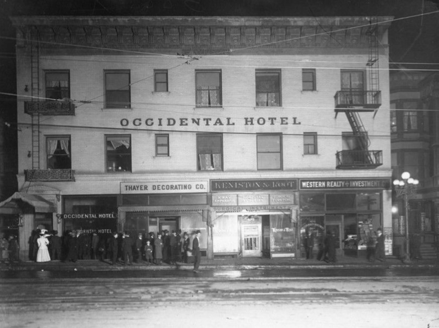
| (Early 1900s)* - Occidental Hotel seen at night with a crowd of people gathered at hotel entrance. Businesses on the lower floor now include Thayer Decorating and Western Realty and Investment. |
Historical Notes In the early 1900s, when purchased by hotelier A. Garrison von Ache, the building was turned into a 170-room hotel. It was a hybrid of the Occidental and the former Broadway Hotel whose entrance was from Broadway Street. |
 |
|
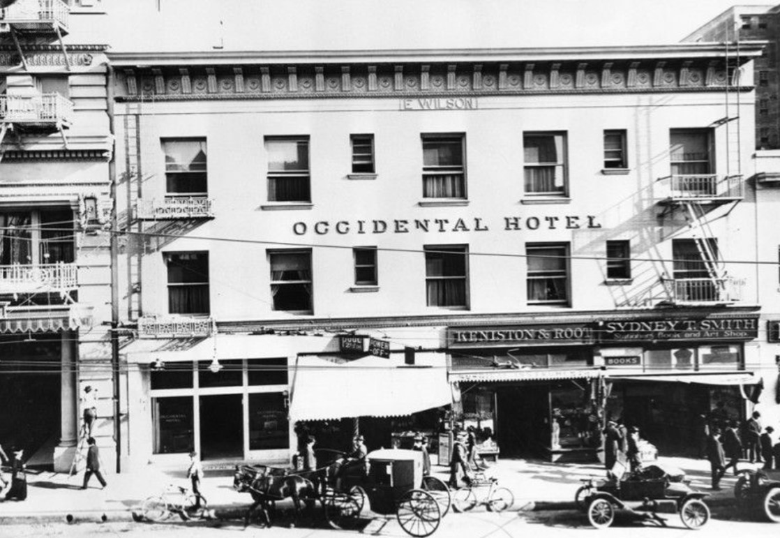
| (ca. 1910)* - Occidental Hotel seen from across the street with horse buggies and early automobiles in front. "E. Wilson" is on building just below the roof line. |
Historical Notes In 1914, the relatively humble building (428 S. Hill Street) was dwarfed by the 11-story Hotel Clark, which rose on the adjacent plot on its north side. The Occidental Hotel was eventually acquired and demolished by its neighbor and replaced by a two-story annex in 1937. Click HERE for contemporary view . |
 |
|
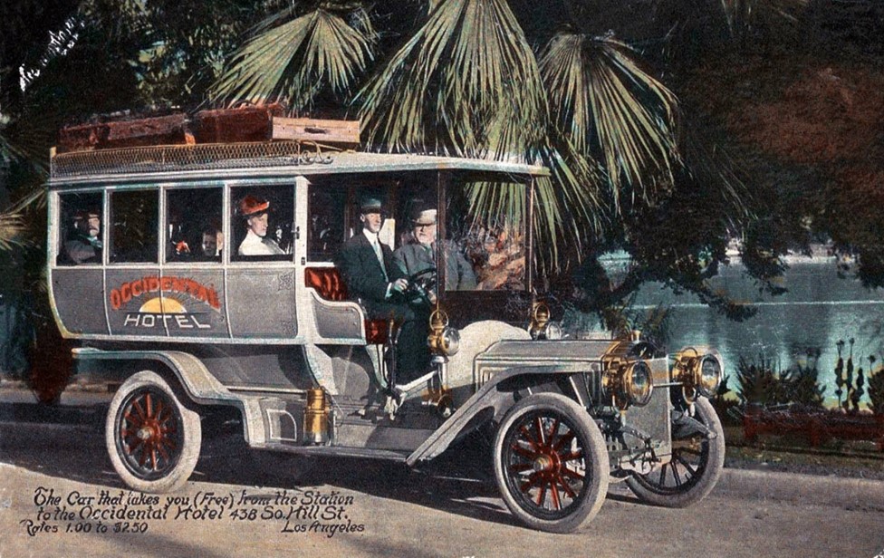
| (ca. 1910s)* – Postcard view showing the free shuttle from La Grande Station to the Occidental Hotel. |
Historical Notes Back of postcard reads: "Occidental Hotel. Rates, $1.00 to $2.50. Through the "Block" from Hill Street, to Broadway. Main Entrance, 428 So. Hill Street Los Angeles." |
* * * * * |
Vendome Hotel
 |
|
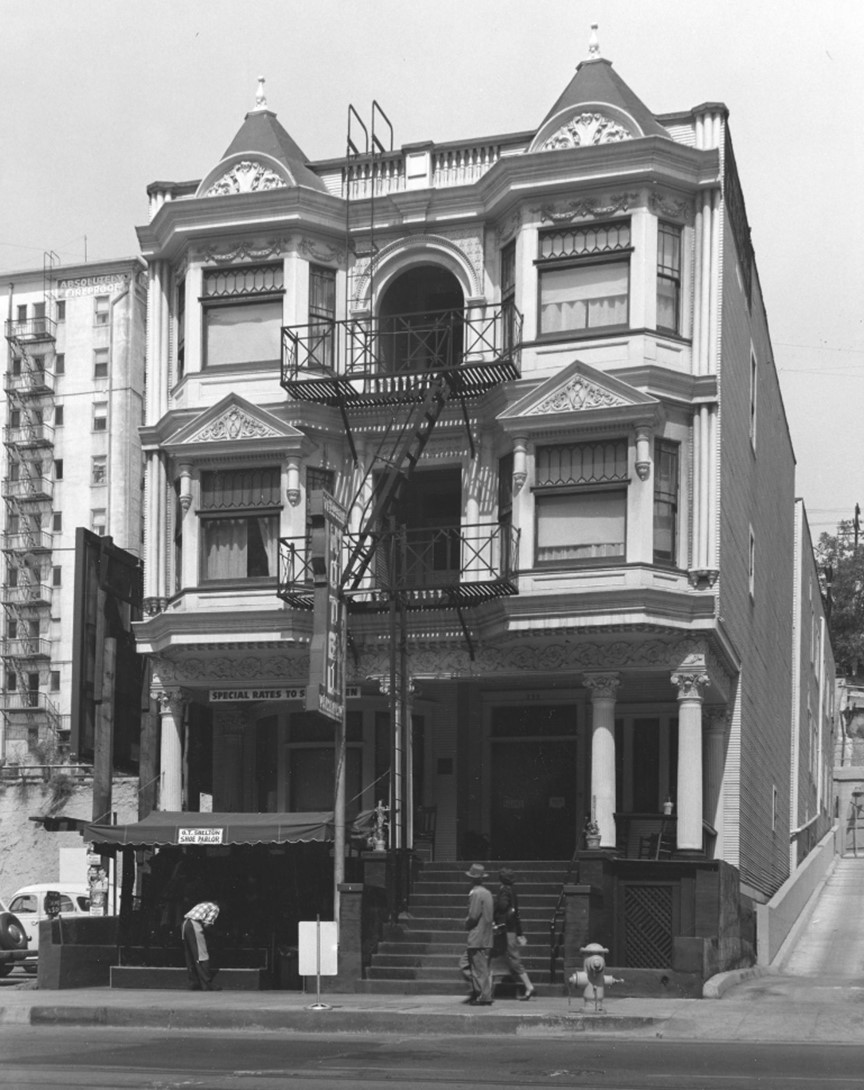
| (1947)* - Street view of the Vendome Hotel, located on the west side of Hill Street between Second and Third Streets. The Victorian-style structure features a shoe shine parlor at street level, with pedestrians adding life to the scene. Photo by Arnold Hylen. |
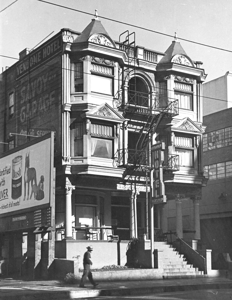
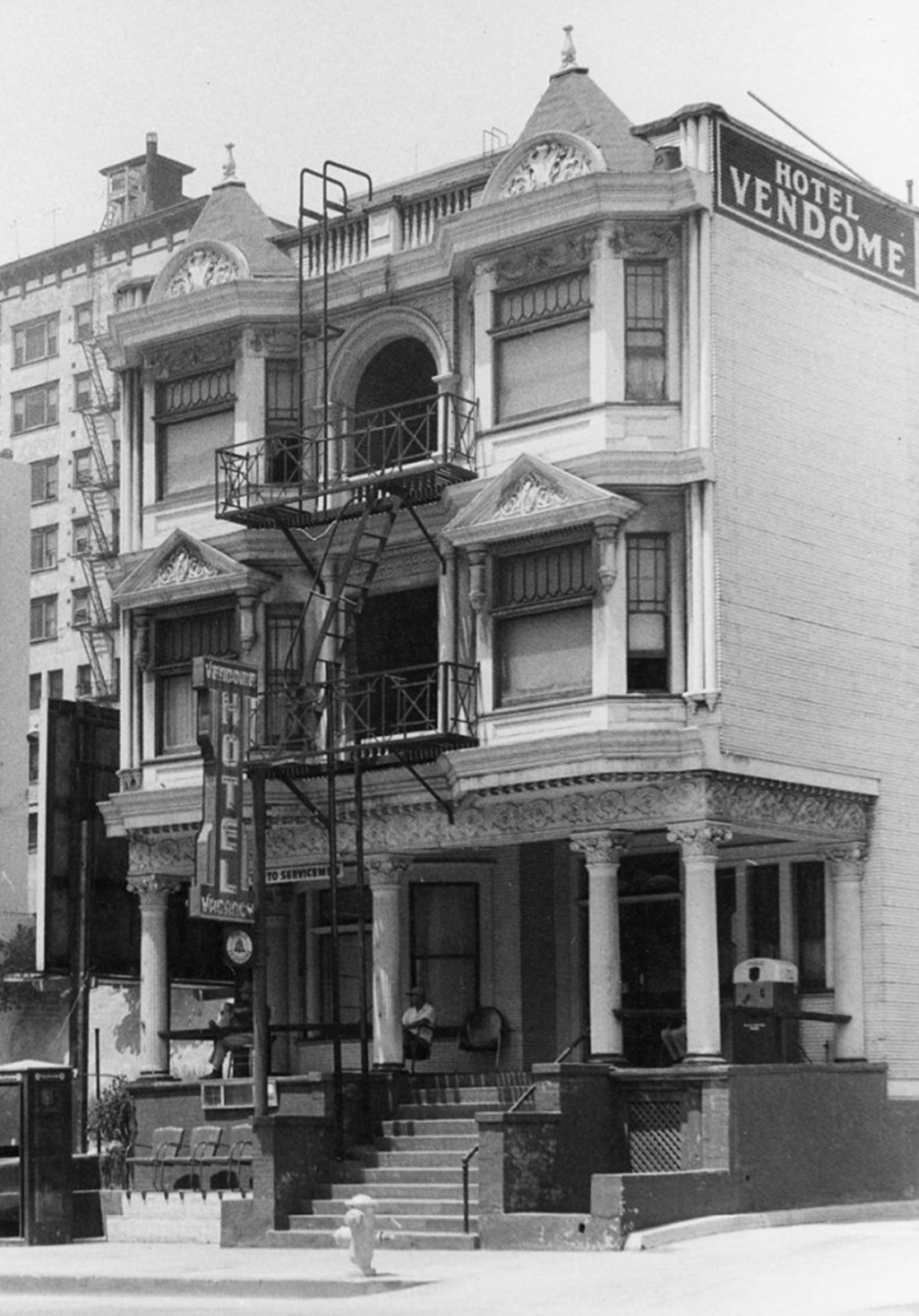
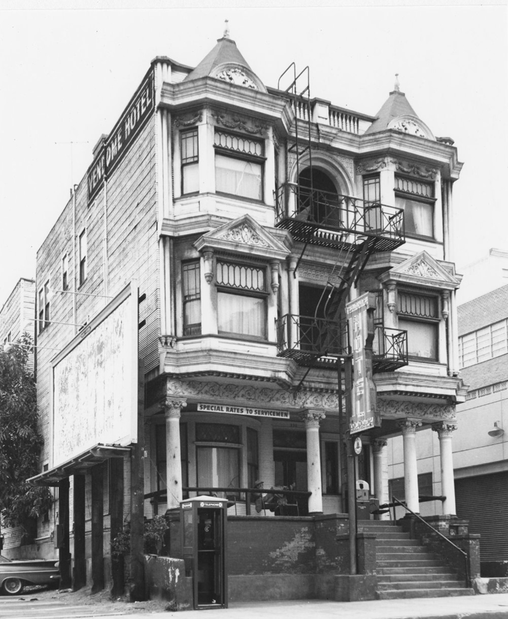
Historical Notes The Vendome Hotel, located at 231 South Hill Street in Los Angeles, was a three-story Victorian structure built in 1900 and designed by architect Charles H. Brinkhoff for the Barr Realty Company. Notable for its architectural features, including fire escapes, balconies, and bay windows, the hotel stood as a striking example of the period's design until its demolition in 1963. |
 |
|
| (1950)* - A view of the bay-windowed and columned Vendome Hotel at 231 South Hill Street, just north of 3rd Street. A man walks past the building, while a billboard advertising Dash Dog Food is visible near its left side. Photo by Arnold Hylen. |
 |
|
| (ca. 1958)* - A view of the bay-windowed and columned Vendome Hotel at 231 South Hill Street, with two men lounging on its porch. In the foreground, a phone booth, fire hydrant, and shoeshine stand are visible. The Hotel Astoria is seen in the left background. Photo by Arnold Hylen. |
 |
|
| (1960)* - View of the Vendome Hotel at 231 South Hill Street, just north of 3rd Street. The structure features columns and bay windows, with a man seated in a chair on the porch. A phone booth is visible in the foreground. Photo by Arnold Hylen. |
.jpg) |
|
| (1960)* – Front view of the Vendome Hotel at 231 South Hill Street, a three-story Victorian structure featuring fire escapes, balconies, and bay windows. A sign reading 'Special Rates to Servicemen' is visible on the left. Photo by William Reagh. |
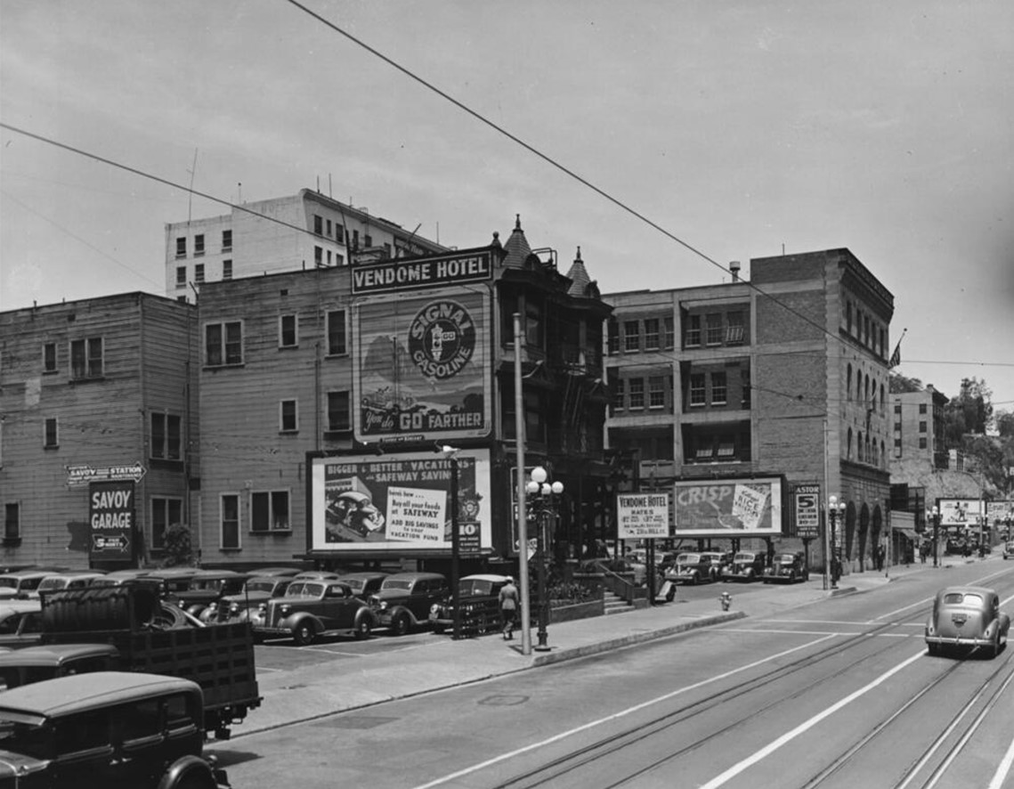 |
|
| (1939)* – Looking north on Hill Street, with the Vendome Hotel on the left advertising rooms for $1.00 per day or $3.00 per week for a clean, well-ventilated stay. Photo by Dick Whittington. |
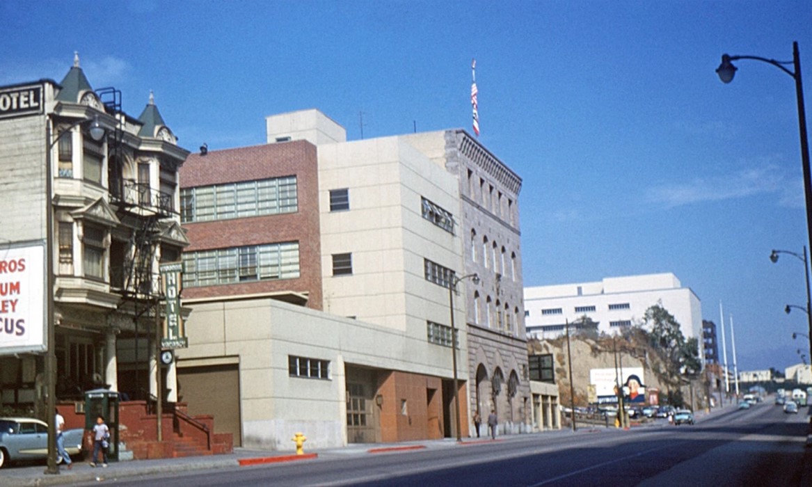 |
|
| (1958)* – A northward view across Hill Street, featuring, from left to right, the Vendome Hotel, Fire Station No. 3, and 2nd Street. In the distance, the Los Angeles County Courthouse (later renamed the Stanley Mosk Courthouse) and the Los Angeles County Hall of Administration (later renamed the Kenneth Hahn Hall of Administration) are under construction. Photo by L. Mildred Harris. |
Historical Notes In 1963, the Vendome Hotel was demolished as part of the Bunker Hill Redevelopment Project. Today, the site is occupied by a massive multi-story parking structure that extends to 2nd Street. Click HERE to see contemporary view. |
Then and Now
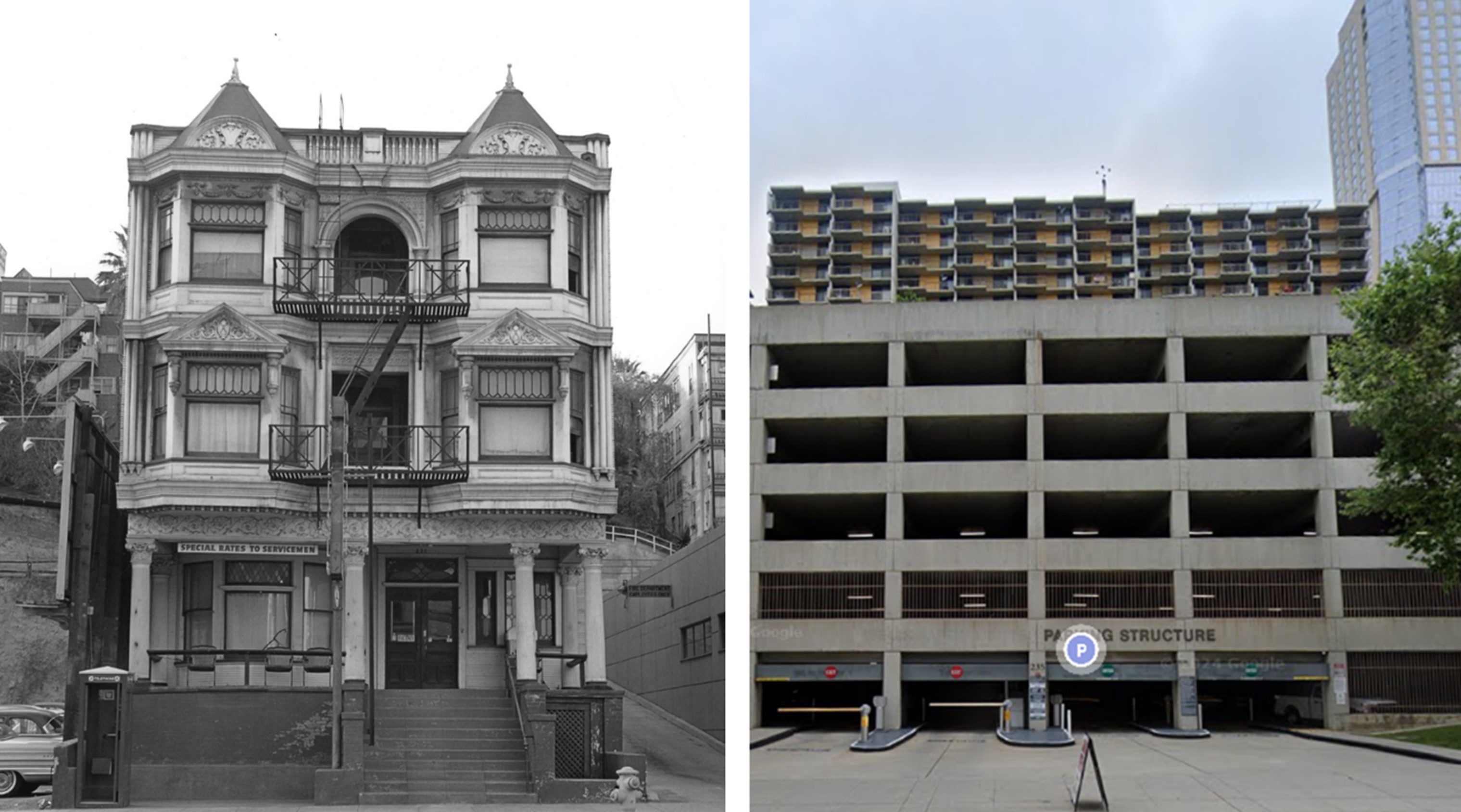 |
|
| (1960 vs. 2024)* – The Vendome Hotel, now replaced by the entrance to a multi-story parking structure. |
* * * * * |
Los Angeles County Orphanage (aka Sisters' Orphan Home)
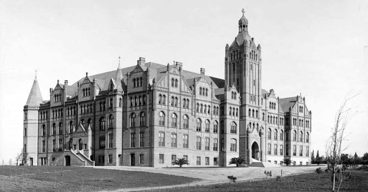 |
|
| (ca. 1899)* - Soon to become the L.A. County Orphanage, Sisters' Orphans Home on 7th Street and Boyle Avenue in Boyle Heights. |
Historical Notes The Romanesque style building has a central bell tower topped with a cupola and cross. The tower has wall dormers, turrets, arched windows and vertical coursing. The main building has wall and roof dormers, horizontal corbeled moldings, pilasters, brackets, arched windows and a decorative cornice. The entrance has half turrets with crosses and a pediment with a checkerboard pattern. The orphanage typically dominated the eastern horizon in the days before the County General Hospital went in. |
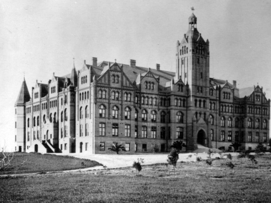 |
|
| (ca. 1900)* - The Los Angeles Orphanage at 917 South Boyle Avenue, southwest corner of Boyle Avenue at Stephenson Avenue (now Whittier Boulevard) in Boyle Heights. The orphanage is a five-story, brick, L-shaped building with dormer windows on the facade and a tower at the entrance that is flanked by newly-planted date palm trees. Steps lead to an arched entryway at the bottom of the tower. Several chimneys sit atop the roof. |
Historical Notes The girl's orphange and school was established in 1856 by six Sisters of Charity nuns from Emmitsburg, Maryland, the motherhouse in the United States. They selected a house with vineyard and orchard belonging to B. D. Wilson for $8,000. This gave the orphanage an income from wine grapes and a supply of fresh fruits and vegetables. The 917 South Boyle Avenue site opened in 1890 on twelve acres and remained open until the it was condemned in 1953 and the orphanage moved to Rosemead. |
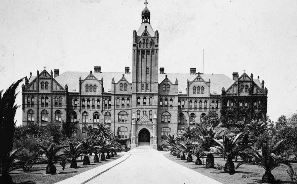 |
|
| (ca. 1930)* - View of the Los Angeles Orphan Asylum in Boyle Heights. |
Historical Notes For over sixty years the facility served thousands of orphaned children in Los Angeles. Concerns over structural integrity came about in the early 1930s when construction crews blasting the hillside next to the asylum for the extension of Sixth Street weakened the massive structure's foundations. While the building was used for classes during the day, children and staff slept at the basement at St. Vincent's Hospital in the evenings. |
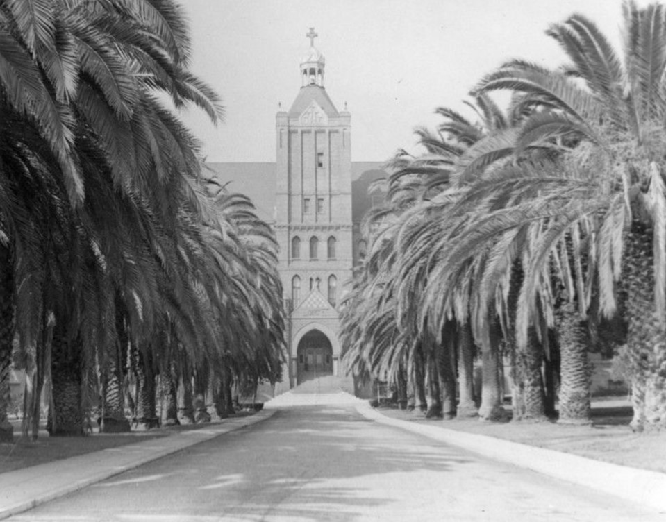 |
|
| (ca. 1930s)* - Los Angeles Orphanage. |
Historical Notes The Los Angeles Orphanage, also known as the Sisters' Orphan Home, was a prominent institution in Boyle Heights, Los Angeles, from the 1930s through the 1950s. Located at 917 S. Boyle Avenue, this imposing Romanesque-style building was completed in 1891 and played a crucial role in caring for thousands of orphaned children. The orphanage faced significant challenges during this period, including structural damage from nearby construction and the 1933 Long Beach Earthquake, which forced children and staff to sleep in the basement of St. Vincent's Hospital for safety. |
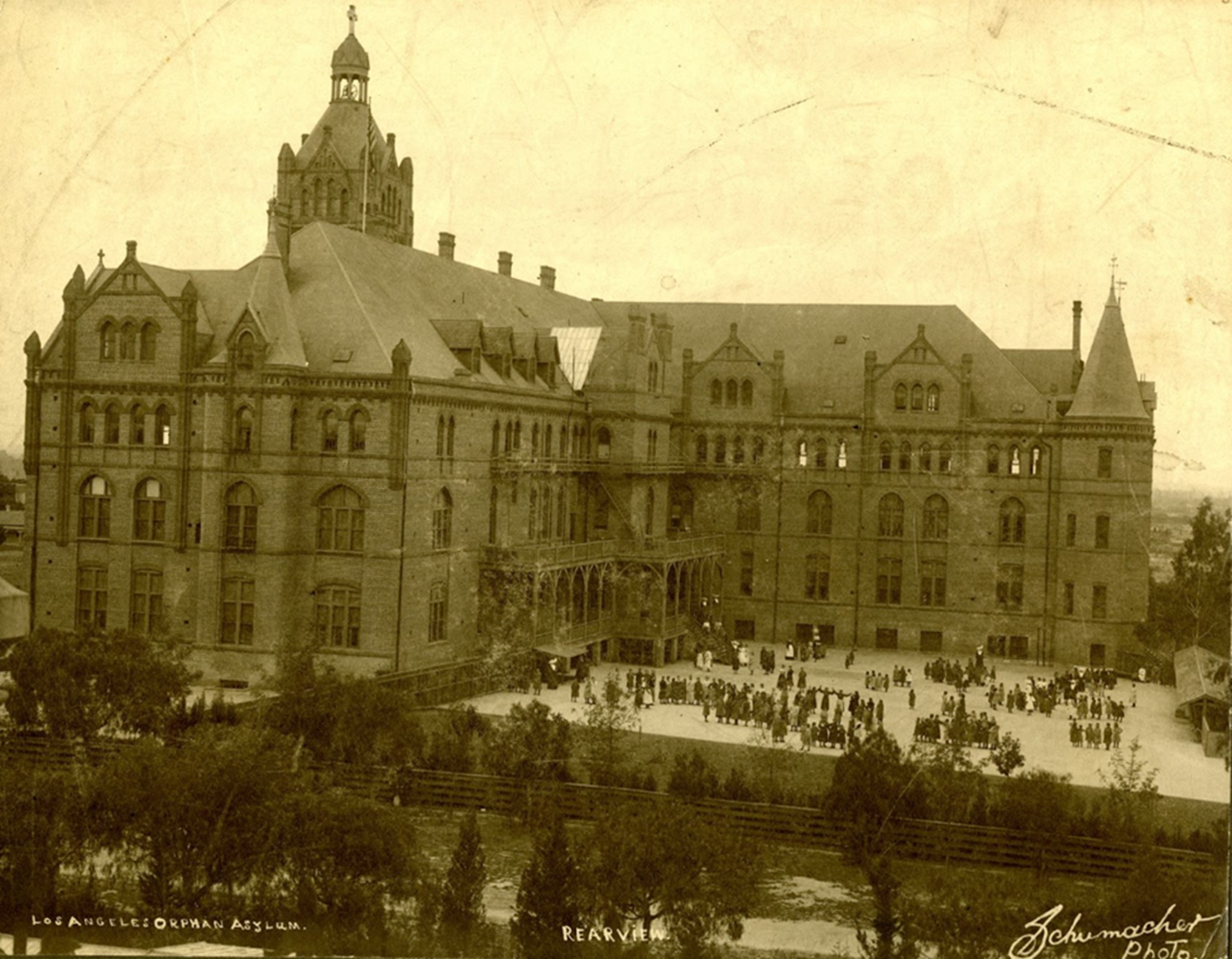 |
|
| (Early 1900s)* - Rear view of the Los Angeles Orphanage, where young girls are seen lined up in groups in the play area. |
Historical Notes Despite structural damage from nearby construction and the 1933 Long Beach Earthquake, the orphanage continued to operate through the 1940s and into the early 1950s, housing 180 children by 1950. However, ongoing structural issues and freeway construction projects in Boyle Heights led to the facility's relocation |
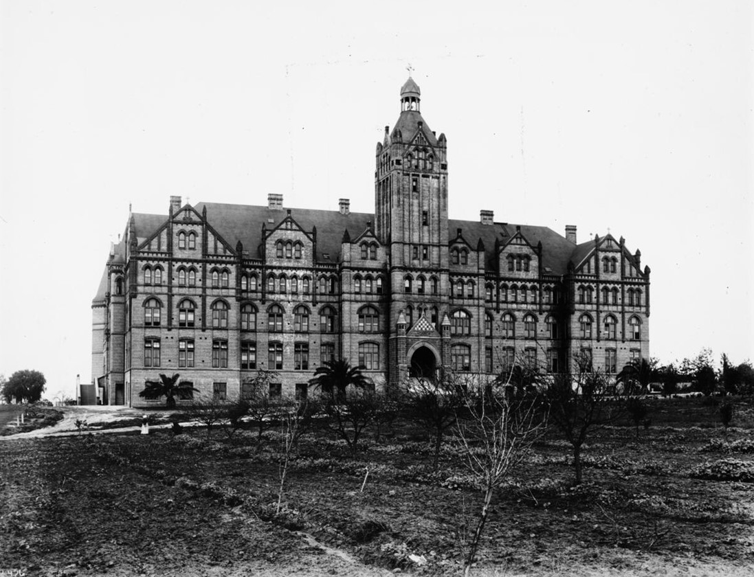 |
|
| (ca. 1950)* - Photograph of the Sisters Orphan Home (Los Angeles Orphanage), Boyle Heights, Seventh Street and Boyle Avenue, cornerstone laid 9 February 1890. The 4-story Romanesque stone building is surrounded by fields in which grow trees, grass and other plants. A tall bell tower with a stone cross on top towers over the main entry. A set of broad stairs supply an additional entry at left. A woman is standing near the dirt road which passes in front of the building. |
Historical Notes In 1953, after successful fundraising efforts, the Daughters of Charity moved the orphanage to Rosemead in the San Gabriel Valley, where it opened as Maryvale School. The Los Angeles Orphanage left a lasting legacy, having served children without regard to ethnicity, ability to pay, or religion during its time in Boyle Heights. |
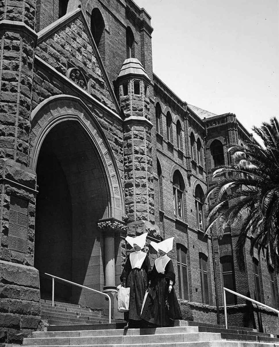 |
|
| (1950)* - Two nuns walk down the front steps of the Los Angeles Orphanage in Boyle Heights, a prominent institution that served the community for decades. Photo by Robert Perkins. |
Historical Notes Los Angeles Herald Examiner photograph caption reads: "In addition to caring for their wards at the Los Angeles Orphanage, the Daughters of Charity regularly visit the poor. With their charity work stretching what few funds are available month by month, the Sisters now face the challenge of raising $750,000 to replace the present orphanage building, which is crumbling with age. Left to right are Sisters Frances and Henrietta." |
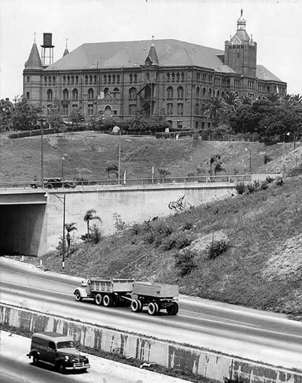 |
|
| (1950)* - View looking across the 101 Freeway (what today is the 5 Freeway) showing the old Los Angeles Orphanage (also known as the Sisters Orphanage) at 917 S. Boyle Avenue in Boyle Heights. Click HERE for contemporary view. |
Historical Notes Damage wrought by the 10 March 1933 Long Beach earthquake as well as the notorious freeway construction projects that controversially carved through much of Boyle Heights, led the Daughters to abandon the site and move the facility to Rosemead in the San Gabriel Valley. From 1953, the facility has operated as Maryvale, but has been reconfigured as a residential home for girls from ages six to seventeen. There are also adjunct facilities in El Monte and Duarte. |
 |
|
| (2024)* - Google Earth view of the site of the old Los Angeles Orphanage (also known as the Sisters Orphanage) at 917 S. Boyle Avenue, near the interchange of the 101 and 5 Freeways in Boyle Heights. |
Historical Notes Ongoing structural issues and freeway construction projects in Boyle Heights led to the facility's relocation. In 1953, after successful fundraising efforts, the Daughters of Charity moved the orphanage to Rosemead in the San Gabriel Valley, where it opened as Maryvale School. The Los Angeles Orphanage left a lasting legacy, having served children without regard to ethnicity, ability to pay, or religion during its time in Boyle Heights. |
* * * * * |
San Pedro City Hall
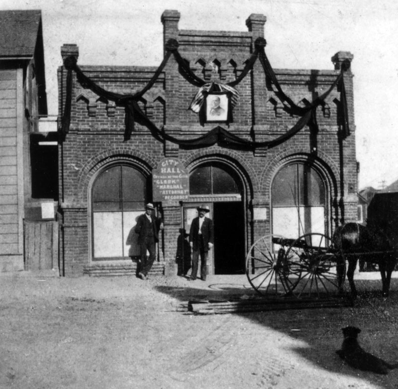 |
|
| (1900)* - Los Angeles city clerk O.C. Abbott (left) and Ben Baker stand outside of the second location of the San Pedro City Hall, a rented building on Beacon between 4th and 5th streets. |
Historical Notes In 1906, the City of Los Angeles annexed the Harbor Gateway, a long narrow strip of land connecting the city to the coast, and in 1909, the city annexed San Pedro and the adjacent town of Wilmington. The odd shape is still seen in the map of the city. Click HERE and see more in Early Views of San Pedro and Wilmington |
* * * * * |
Phineas Banning Residence (Wilmington)
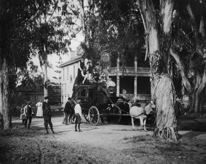 |
|
| (ca. 1900)* - Tree-shaded residence of Phineas Banning in Wilmington. In front is a mule-drawn coach piled high with people. |
Historical Notes Phineas Banning (1830 – 1885) was an American businessman, financier, and entrepreneur. Known as "The Father of the Port of Los Angeles," he was one of the founders of the town of Wilmington, which was named for his birthplace. His drive and ambition laid the foundations for what would become one of the busiest ports in the world. Besides operating a freighting business, Banning operated a stage coach line between San Pedro and Wilmington, and later between Banning, California, which was named in his honor, and Yuma, Arizona. During the Civil War, he ceded land to the Union Army to build a fort at Wilmington, the Drum Barracks. He was appointed a Brigadier General of the First Brigade of the militia, and used the title of general for the rest of his life.^* |
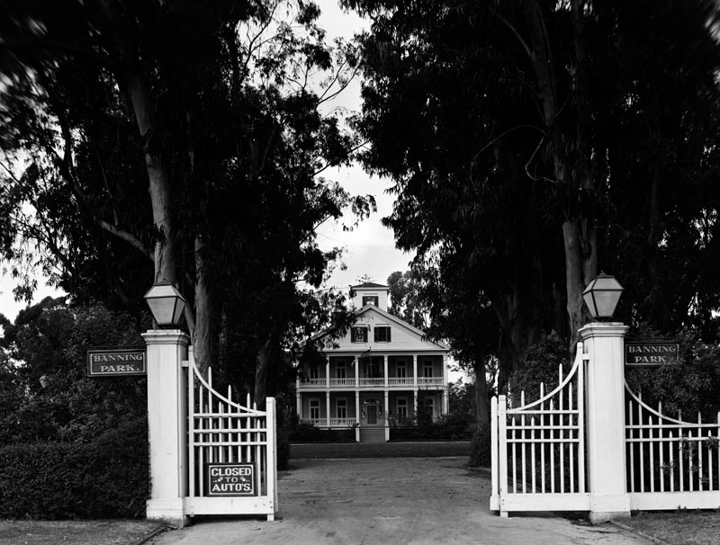 |
|
| (1937)* - Exterior view of the Greek Revival style residence of Phineas Banning, located at 401 East M Street in Banning Park in Wilmington. |
Historical Notes Banning's chief residence, constructed in Wilmington in 1864, is open to the public as a museum devoted to the Victorian era in California.^* In 1963, the Banning House property, also known as Banning Park, was designated as Los Angeles Historic-Cultural Monument No. 25 (Click HERE to see complete listing). It is also California Historical Landmark No. 147 (Click HERE to see more in California Historical Landmarks in LA) as well as being federally listed on the National Register of Historic Places. |
Click HERE to see more in Early Views of San Pedro and Wilmington |
* * * * * |
National Soldier's Home (now Veterans Administration Hospital)
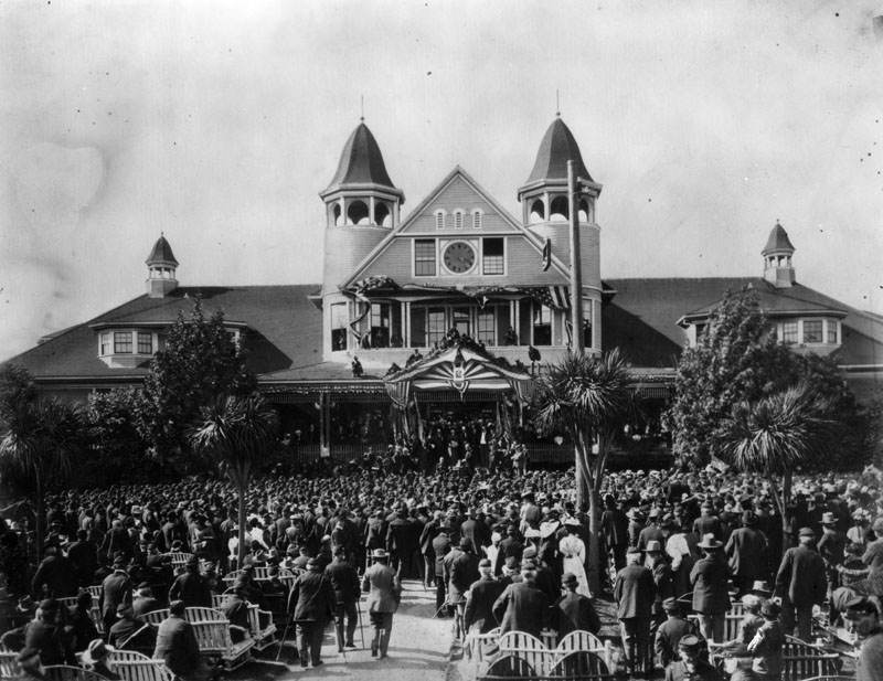 |
|
| (1901)* - President William McKinley can be seen near the entrance of the National Soldier's Home (now Veterans Administration Hospital) in Sawtelle (Los Angeles). This event marks the Dedication by President McKinley on May 9, 1901. |
Historical Notes The National Home for Disabled Volunteer Soldiers was established in 1887 on 300 acres of Rancho San Vicente y Santa Monica lands donated by Senator John P. Jones and Arcadia B. de Baker. The following year, the site grew by an additional 200 acres; in 1890, 20 acres more were appended for use as a veterans' cemetery. With more than 1,000 veterans in residence, a new hospital was erected in 1900. This hospital was replaced in 1927 by the Wadsworth Hospital.^* |
* * * * * |
Los Angeles High School
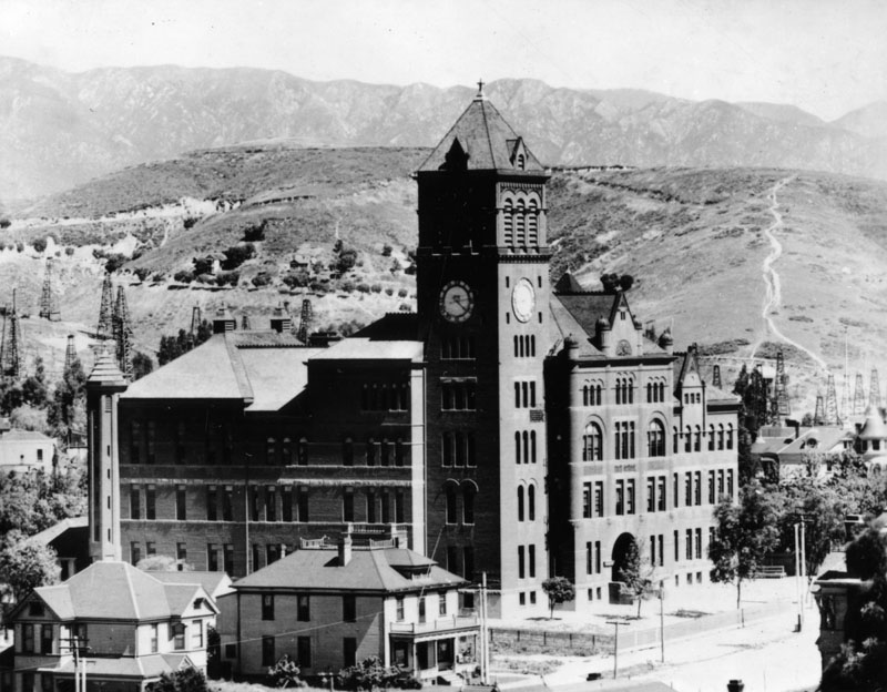 |
|
| (ca. 1901)* - The second building housing Los Angeles High School, located on north Hill Street between California and Bellevue. Oil derricks can be seen in the hills behind the school and to the left. |
Historical Notes The Los Angeles High School building seen above replaced the original one, built in 1872, at the former site of Central School on what was then known as Poundcake Hill, at the southeast corner of Fort Street (later Broadway). This second location atop a hill was completed in 1891 and LAHS moved in. It was an enormous, for then, building. The new high school was built on part of the site of the abandoned Fort Moore Hill Cemetery, the first Protestant cemetery in Los Angeles, which was spread over the slopes of the hill. Early buildings commissioned to house the Los Angeles High School were among the architectural jewels of the city, and were strategically placed at the summit of a hill, the easier to be pointed to with pride. One of the school's long standing mottos is "Always a hill, always a tower, always a timepiece". ^* |
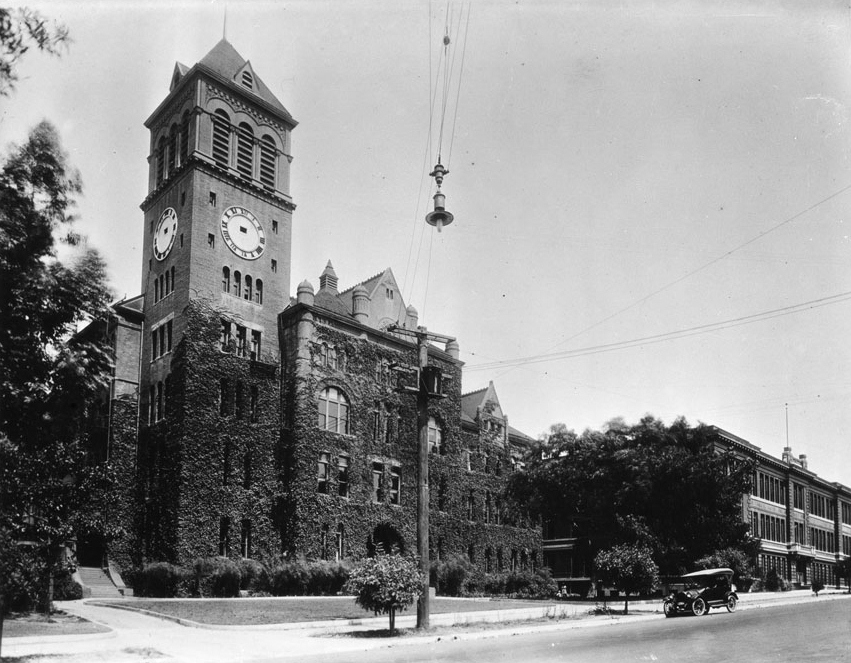 |
|
| (ca. 1910)^ - Photograph of Los Angeles High School, overgrown with vines. At left, the vines stop on the clock tower just beneath the clock, whose hands are missing. At right, a lone automobile is parked along the sidewalk near a second, three-story building. |
Historical Notes In 1917, the school moved to its current location at 4650 Country Club Drive (now West Olympic Boulevard), which incidentally is not on a hill. The second high school, on Fort Moore Hill, eventually became a school for problem students. In 1949, the school was razed for the construction of the Hollywood Freeway. The headquarters of the Board of Education was later built on the property. Most of Fort Moore Hill itself was removed in 1949 for the construction of the freeway, which opened in December 1950. Also located on what remains of the hill is the Fort Moore Pioneer Memorial, which was opened to the public in 1958.^* |
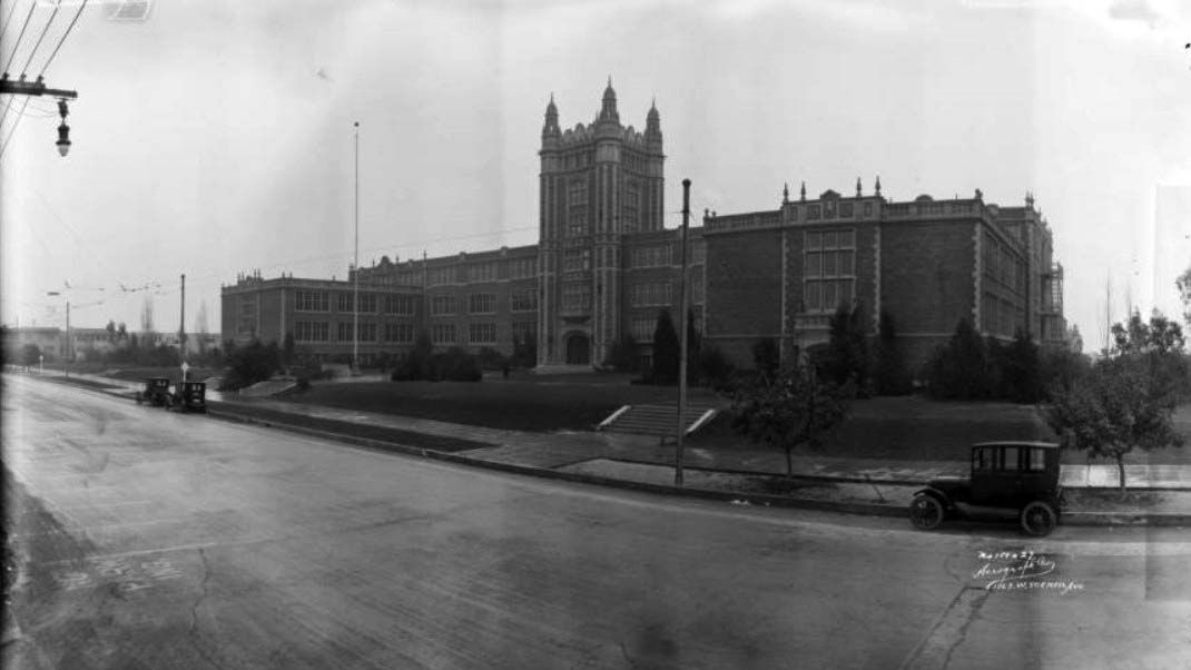 |
|
| (1924)^ - View showing Los Angeles High School at its third location, built in 1917 and located at 4650 Country Club Drive (now Olympic Boulevard). The main building is three and a half stories, while the wings perpendicular to the street are two and a half stories, and the central tower is five or six stories. The street is empty except for three parked automobiles. |
Historical Notes Olympic Boulevard was originally named 10th Street for most of its length, except for a couple of shorter stretches, one of which was named Country Club Drive. In 1932, the entire length of the street, from East L.A. to Santa Monica, was renamed Olympic Boulevard for the Summer Olympics being held in Los Angeles that year.^* |
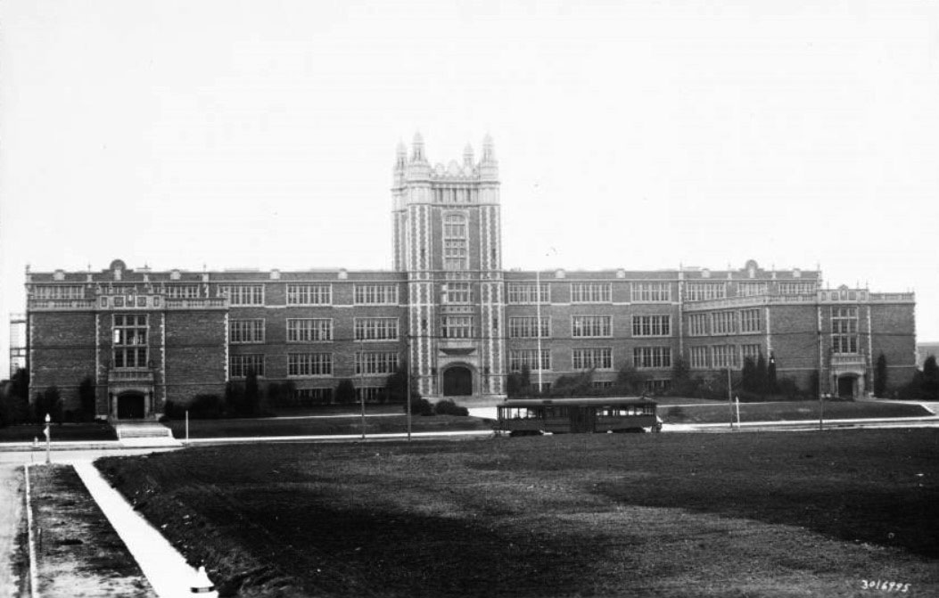 |
|
| (ca. 1925)^ - View of Los Angeles High School with streetcar in front, as seen from what appears to be an empty lot across the street. The four-story brick building of the high school is shown at a distance in three sections: the main section of the building runs the width of the image and does not extend past four stories. At the center of this, a section of tower houses the main entrance, capped at its four corners by minarets. It adds an extra story. The third section is pictured at the far right and extends perpendicularly from the main building. It is three stories tall. |
Historical Notes To honor the graduates and under-graduates of the school who took part in the World War, in 1922 the students voted to buy the acreage across the street, a plot of ground approximately 315 by 350 feet, to be used as a memorial park. In 1923, the land was purchased by the student body and alumni association of Los Angeles High School, and deeded to the City of Los Angeles in commemoration of twenty alumni who died in World War I. Six years later, the city gave the Los Angeles Public Library the right to establish a branch on the site. In 1930, a library opened in the park (LA Public Library - Memorial Branch). The students of Los Angeles High School commissioned a stained glass window with the names of the twenty alumni and an inscription stating hope for peace among nations. The window, designed by the renowned Judson Art Studio, was inspired by those in the Parliament Building. #^^^ |
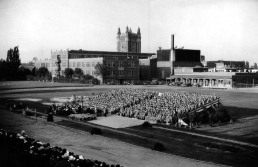 |
|
| (1940)^* - South view of Los Angeles High School, with graduating class of 1940 in foreground, 4650 W. Olympic Boulevard. |
 |
(2006)^* - Los Angeles High School logo. Team Name: Romans Colors: Blue and White
|
Click HERE to see more Early Views of Los Angeles High School in the 1800s |
* * * * * |
Angelus Hotel
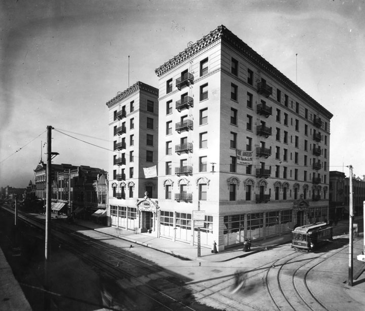 |
|
| (1901)* - A corner view of two sides of the 7-story Angelus Hotel which has not yet opened, located on the southwest corner of Spring and Fourth streets. A banner on the right side reads: "The Angelus will open Dec. 15, 1901." Hotel architect, John Parkinson. |
Historical Notes The Angelus was built in 1901 by G.S. Holmes (also the proprietor of The Knutsford Hotel in Salt Lake City, Utah). Advertised then as the tallest building in Los Angeles, the hotel consisted of two, seven-story buildings joined by a central structure with a lobby, dining rooms, meeting rooms and other shared facilities, including a central court yard on top.^^*^ |
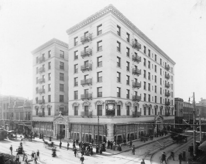 |
|
| (ca. 1902)* - View of the Angelus Hotel which is open for business. A sign with the name "Angelus" and containing a clock is located on the corner of the building. The street is filled with people and horses and carriages, and a streetcar coming from the left. |
Historical Notes According to The American Globe, Independent Illustrated Monthly of 1909, The Angelus was sold circa 1903 to the Loomis Brothers, who were experienced hoteliers. The Angelus had a Turkish-themed room in its early days, along with a bowling alley, billiards, a buffet and hair dressing parlor. Under the Loomis Brothers, the hotel later offered onsite "progressive tailoring" services by Eisner & Company.^^*^ |
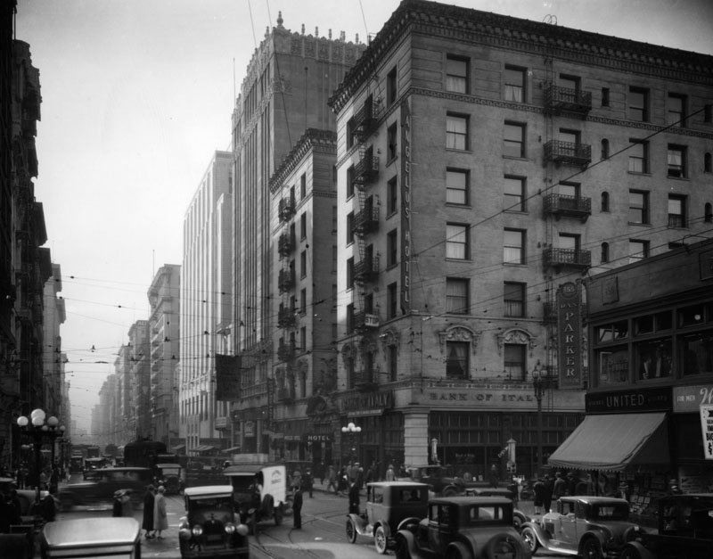 |
|
| (ca. 1930)* - Angelus Hotel and Bank of Italy on the corner of Spring and 4th Streets. Also shows Dan Parker, United Cigars, cars and pedestrians. |
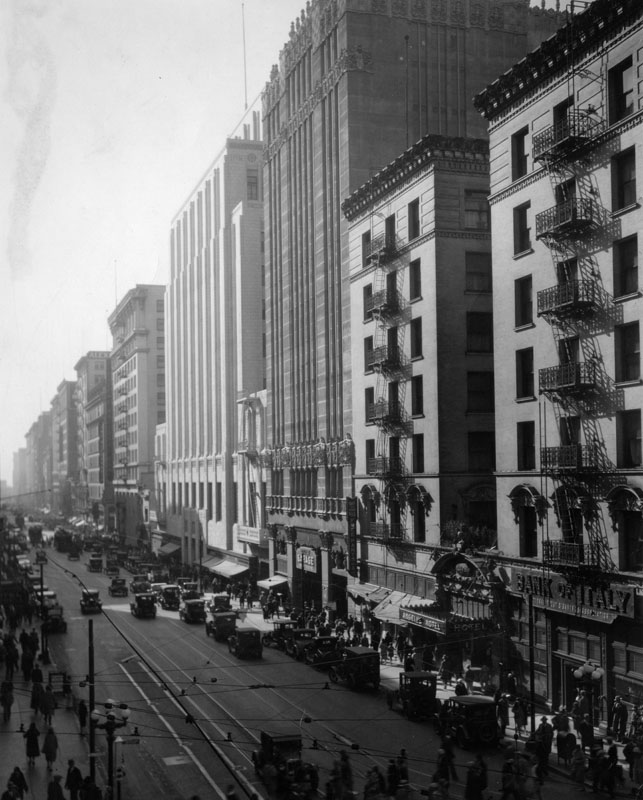 |
|
| (ca. 1930)* - View looking south on Spring from 4th Street, with the Bank of Italy and the Angelus Hotel at right. They were demolished in 1956 for a parking lot. Next to them is the Title Insurance Co. building. Pedestrians, automobiles and trolleys are seen. What stands out are the exterior fire escapes on the Angelus Hotel. |
Historical Notes Fire Escapes date back to the turn of the 20th century, when fire safety became a major concern and building owners were required by law to provide fire escape routes in their new property. The fire escape invention seemed to be a simple and cost-efficient way to address this requirement. As far as a patented fire escape, the first credited person for such an invention was Anna Connelly in 1887. She invented the exterior staircase, used specifically for a fire escape. Many companies saw advantages to using this system and decided to incorporate that patent into their own buildings. These exterior staircases were cheap to build and could be added to the existing construction very easily, without the need to restructure the walls.**^* |
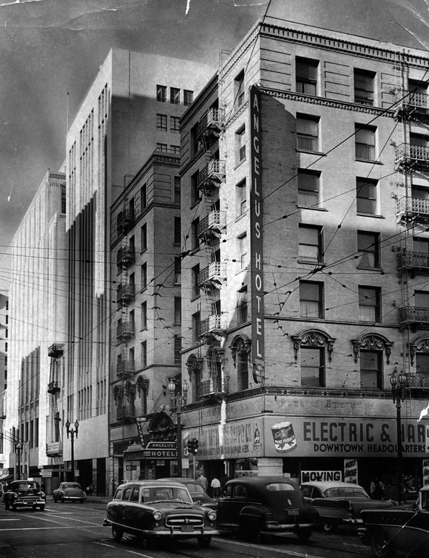 |
|
| (1956)* - Photo caption reads: "The Angelus Hotel's days are numbered. The hostelry at Fourth and Spring Streets will be torn down and the space will be used for a parking lot." |
Historical Notes The Angelus Hotel building was razed May 7, 1956.* |
* * * * * |
Darmody and Schaeffer's Belmont Cafe
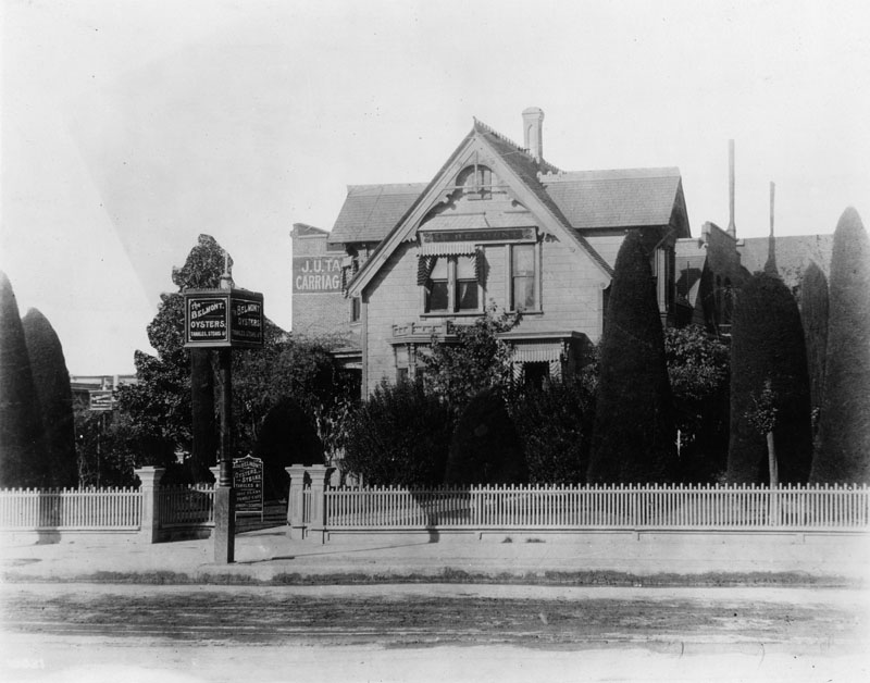 |
|
| (1901)* - Darmody and Schaeffer's Belmont Cafe, at the northwest corner of 5th and Main, on the site of the present Rosslyn Hotel. The photograph shows the view from the street. There is a signpost with "The Belmont", and a sign which advertises "oysters, steaks, tamales, & etc., first class family cafe." |
Historical Notes The Cafe was formerly the site of the home of John H. Jones, who lived there until 1900 in a house that was built in 1869.* |
* * * * * |
Children's Hospital
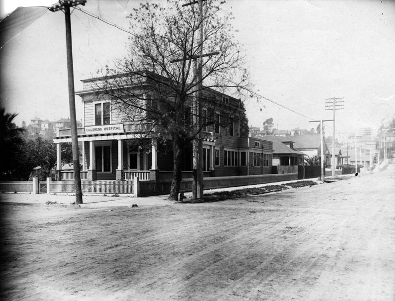 |
|
| (ca. 1902)* - Early view of Childrens Hospital, possibly located at 769 Castelar Street and the southwest corner of Alpine Street. Photograph shows a long, two-story building with a wrap around porch and second floor balcony; a wooden picket fence surrounds the building. Although the sidewalks have been paved, the wide roads are still hard-packed dirt. |
Historical Notes Childrens Hospital Society of Los Angeles was founded on April 1, 1901 by a small group of women who recognized the need for a hospital that could serve ill, crippled, and under-privileged children. The original hospital, which opened in 1902, was a modest two-story clapboard house located at 769 Castelar Street and the southwest corner of Alpine Street; it had nine beds and one volunteer doctor who treated fourteen patients that first year. By 1905, the hospital had expanded to accommodate 20 patients and converted the kitchen pantry into a "surgery suite"; by now, 229 children had received care. In 1913, Childrens Hospital relocated to a new location at Sunset and Vermont Avenue, opening a 100-bed facility. A year later, on February 7, 1914, a new Childrens Hospital was opened by President Woodrow Wilson, who presided over the ceremonies from The White House via telegraph. As the decades passed, new services were added, buildings went up and came down, and Childrens Hospital Los Angeles evolved to serve more children and those with the most complex medical needs. Today, CHLA is a national leader in pediatric care and research, serving over 300,000 patients annually at its four-acre facility, located at 4650 Sunset Boulevard.* |
* * * * * |
Rindge Residence
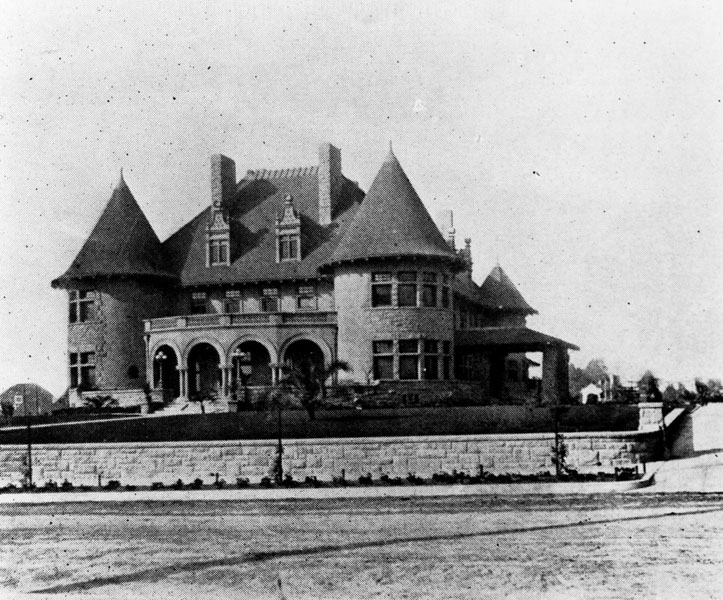 |
|
| (ca. 1902)* - Exterior of the large Renaissance revival/Romanesque revival Victorian mansion at 2263 S. Harvard Boulevard in the West Adams district of Los Angeles, built for and once owned by the Frederick H. Rindge family. |
Historical Notes In 1892 Frederick H. Rindge purchased the 13,300-acre Spanish land grant Rancho Topanga Malibu Sequit or "Malibu Rancho". He later expanded it to 17,000 acres as the Rindge Ranch, which encompasses present day Malibu, California.^* |
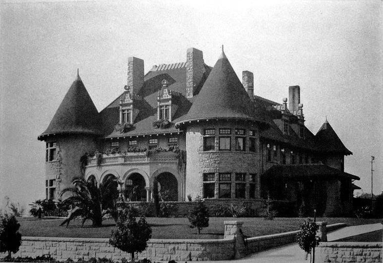 |
|
| (1910)^* – View showing the Frederick Rindge residence at 2263 S. Harvard Boulevard, south of what is now the 10 Freeway. |
Historical Notes Frederick Rindge was land holder (much of Malibu) founded the Conservative Life Insurance Company, and was a VP at Union Oil, and a director of the Los Angeles Edison Electric Company (later Southern California Edison Company). |
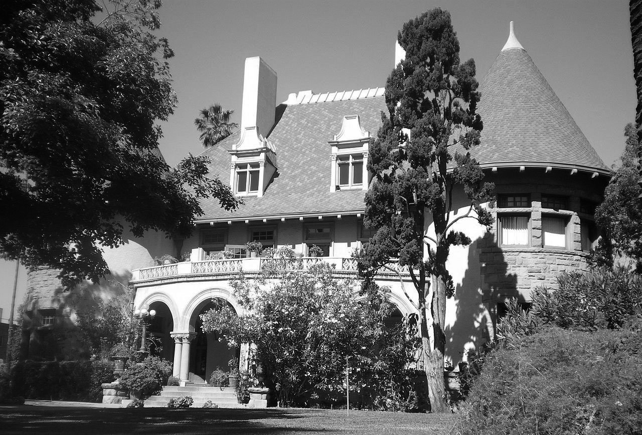 |
|
| (2008)^* - Frederick Hastings Rindge House at 2263 Harvard Boulevard, now a Los Angeles Historic-Cultural Monument. |
Historical Notes This estate, both a Los Angeles Historic-Cultural Landmark and on the National Register of Historic Places, was designed by Frederick Louis Roehrig and E.C. Shipley and built in 1902.^ |
* * * * * |
Nicola Bonfilio Residence
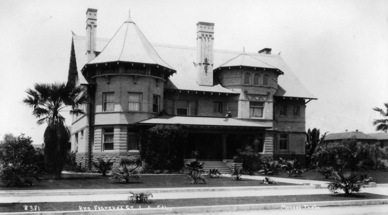 |
|
| (n.d.)* - Exterior view of a gothic revival style house once owned by Nicola Bonfilio, located at 2019 S. Figueroa St. |
Historical Notes Nicola Bonfilio lived in this Morgan & Walls-designed mansion at 2019 South Figueroa Street in L.A. from about 1903 until 1923, the year he died. Bonfilio was the director of the Bank of Italy (now Bank of America) and Merchants National Bank. He had married wealthy horse breeder Elizabeth Gates McGaughey (d. 1911), mother of Nellie McGaughey. Nellie went on to marry her mother's horse trainer, William Durfee. After living in this house, the Durfees bought the former West Adams estate of William Ramsay, built in 1908. |
* * * * * |
Chandler Residence
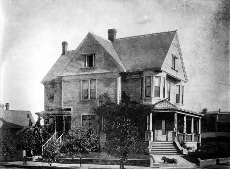 |
|
| (1903)* - View showing the three-story Victorian home of Harry Chandler, publisher of the Los Angeles Times, located at 503 North Broadway. A dog can be seen lying on the sidewalk. |
Historical Notes In Los Angeles, while working in the fruit fields, Harry Chandler started a small delivery company that soon became responsible for also delivering many of the city's morning newspapers, which put him in contact with The Los Angeles Times publisher Harrison Gray Otis. Otis liked this entrepreneurial young man and hired him as the Times’ general manager. Harry’s first wife, Magdalena Schlador, had died in childbirth in 1892, leaving him with two small daughters, Franciska and Alice May. He went on to marry Otis’s daughter, Marian Otis. Upon Harrison Gray Otis’s death in 1917, Harry took over the reins as publisher of the Times. He and Marian had eight children. His oldest son, Norman Chandler, followed him as publisher of the Times. Chandler Boulevard, a major street in the San Fernando Valley, is named for Harry Chandler. |
* * * * * |
Dome Hotel and Apartments (aka Minnewaska Hotel)
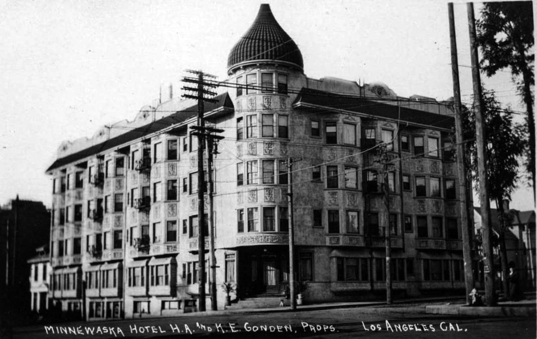 |
|
| (ca. 1905)* – View of the Minnewaska Hotel with its distinctive dome at the southwest corner of 2nd Street and Grand Avenue, later renamed the Dome Hotel and Apartments. |
Historical Notes Completed in 1903, the Minnewaska opened as a four-story, 122–133 room luxury hotel. Its spiral dome made it a recognizable Bunker Hill landmark. The Los Angeles Times praised its construction, describing heavy diagonal framing with steel lath and plaster tinted a delicate cream. Inside were two- and four-room flats with private baths, marble washstands, steam heat, and electric bells. Sold in 1905, the name Minnewaska lingered in directories until about 1907, when it was simplified to the Dome. |
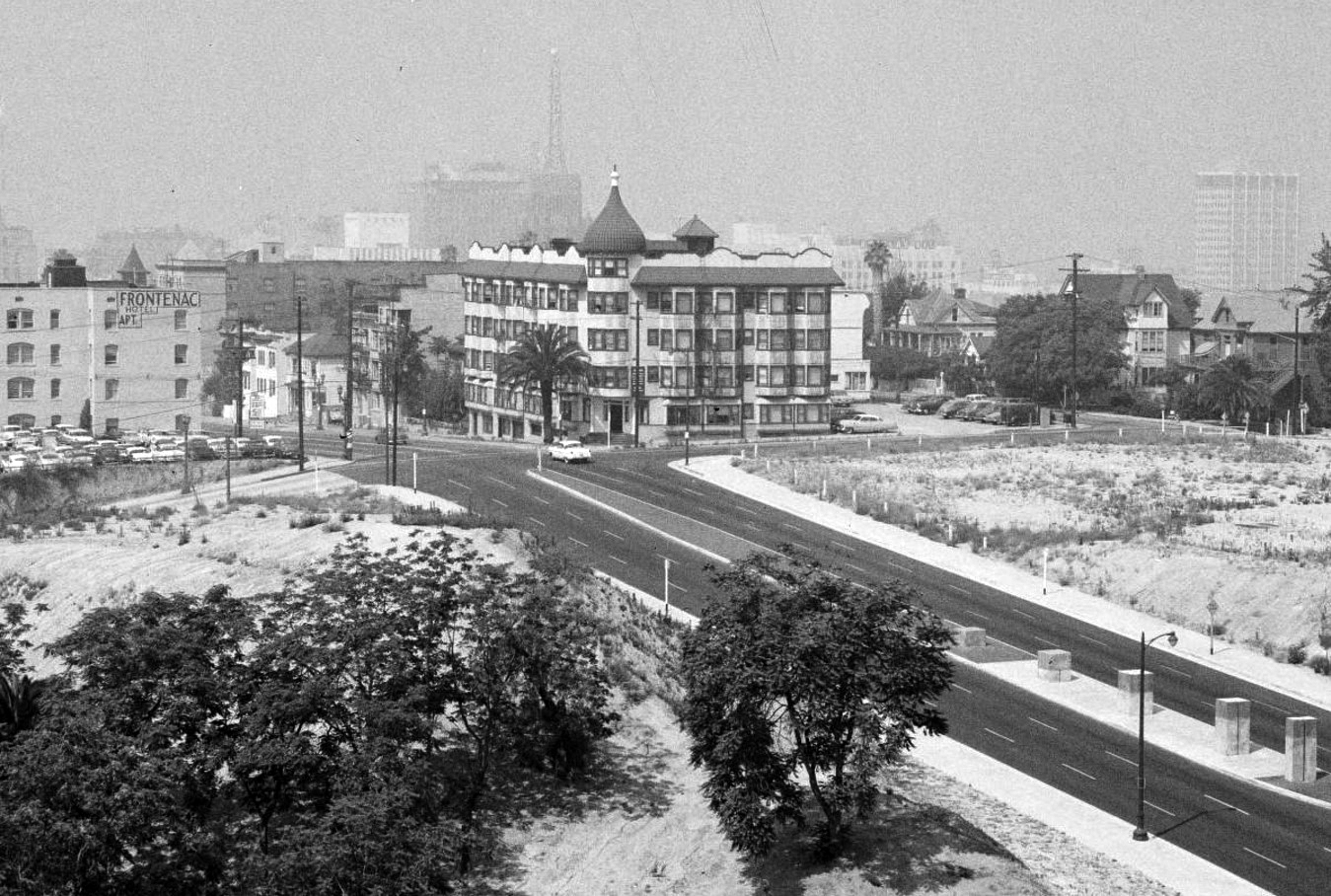 |
|
| (1960)* – View of the Dome Hotel and Apartments, with the Rihfield Oil Company Building in the background and the future site of Walt Disney Concert Hall to the right. |
Historical Notes By this time the Dome had transitioned fully to apartments. The surrounding Bunker Hill neighborhood was already in steep decline, targeted for redevelopment. The striking black-and-gold Richfield Building stood tall in the distance until it was demolished in 1969 to make way for the ARCO Towers. To the right of the Dome lay a vacant lot, later chosen for the Walt Disney Concert Hall, completed in 2003. |
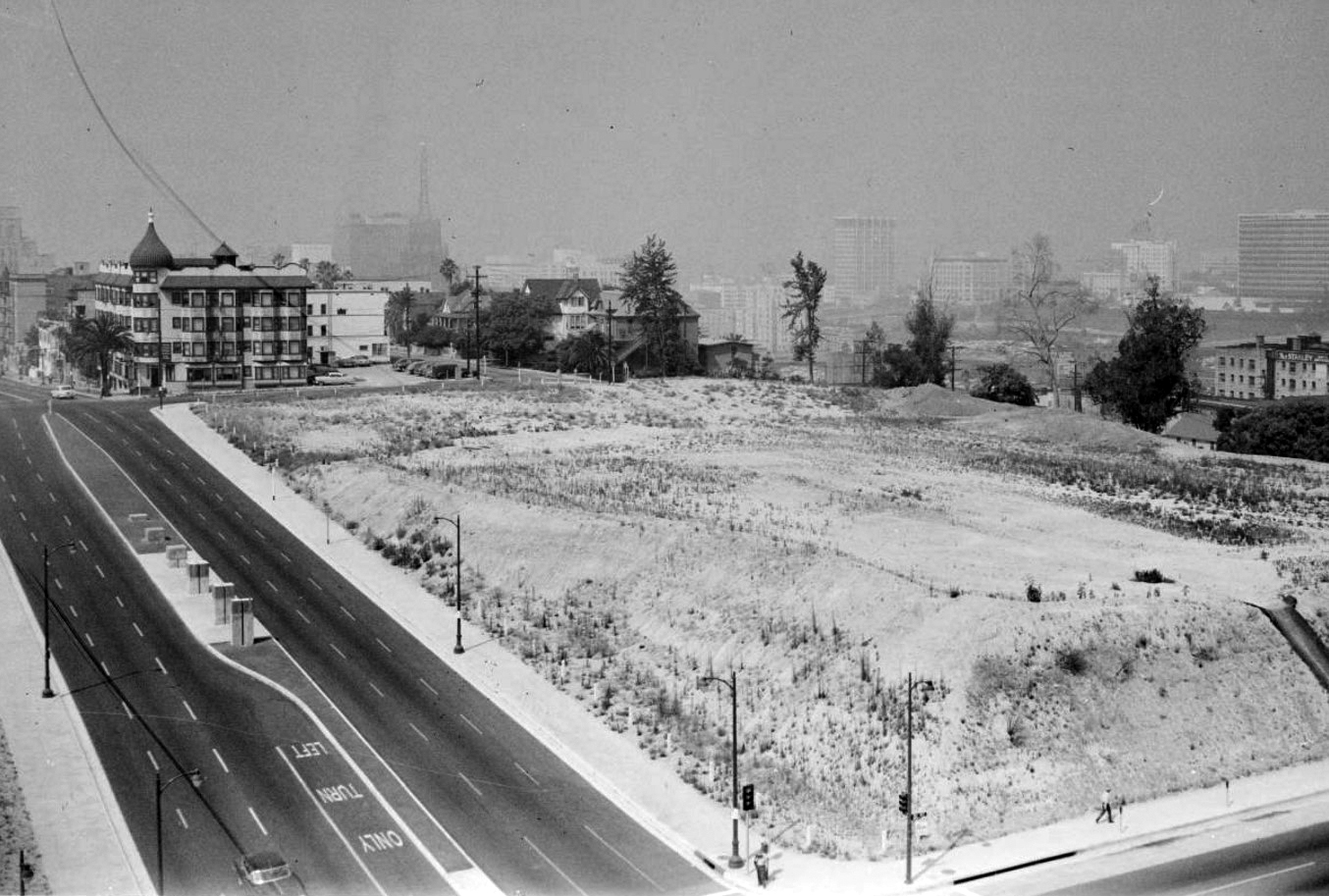 |
|
| (1960)* – Looking southwest from the L.A. County Courthouse at 1st and Grand, with the Dome Apartments visible beyond a cleared lot. This will become the site of the Walt Disney Concert Hall (completed in 2003). |
Historical Notes This view captures the Dome standing almost alone amid growing demolition on Bunker Hill. Large swaths of the neighborhood were being razed under the city’s redevelopment program, leaving vacant lots where Victorian homes and boardinghouses once stood. The Dome, though still occupied, was already living on borrowed time. |
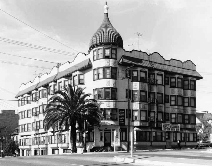 |
|
| (ca 1963)* – Profile of the Dome Apartments, advertising “Newly Decorated, $50 Per Month & Up. |
Historical Notes The Dome had by then declined into budget apartments, far removed from its early 20th-century luxury. The $50 monthly rent reflected both inflation and the neighborhood’s deterioration. Once considered a modern and elegant building, by the 1960s it stood as one of the last survivors of Bunker Hill’s grand era, increasingly surrounded by empty lots. |
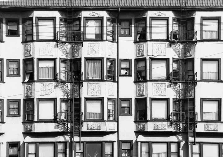 |
|
| (1960s)* – Close-up of the Dome Apartments façade showing plaster finish and fire escapes. |
Historical Notes The exterior, once tinted cream, showed its age after decades of wear. Fire escapes were added as code requirements increased for older structures. Early descriptions noted a light court and open stairwell inside, features admired when built but ultimately contributing to the rapid spread of fire in its final year. |
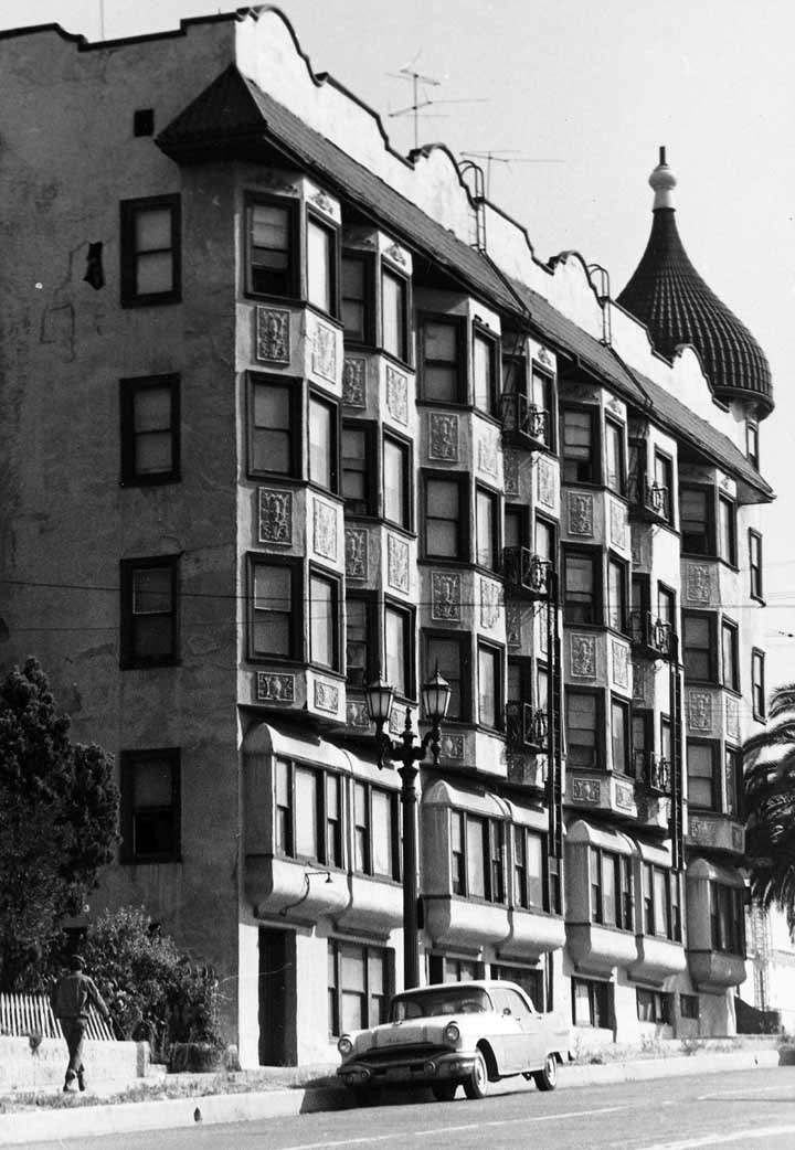 |
|
| (1964)* – Profile of the Dome Apartments at 2nd and Grand, taken shortly before the fire that destroyed the building. |
Historical Notes On July 25, 1964, a fire swept through the Dome, killing one resident and injuring several others. Its open stairwell acted like a chimney, spreading flames quickly. Though never proven arson, some speculated redevelopment pressures may have welcomed its loss. The structure was demolished later that year, and the lot became surface parking for the next half-century. |
Then and Now
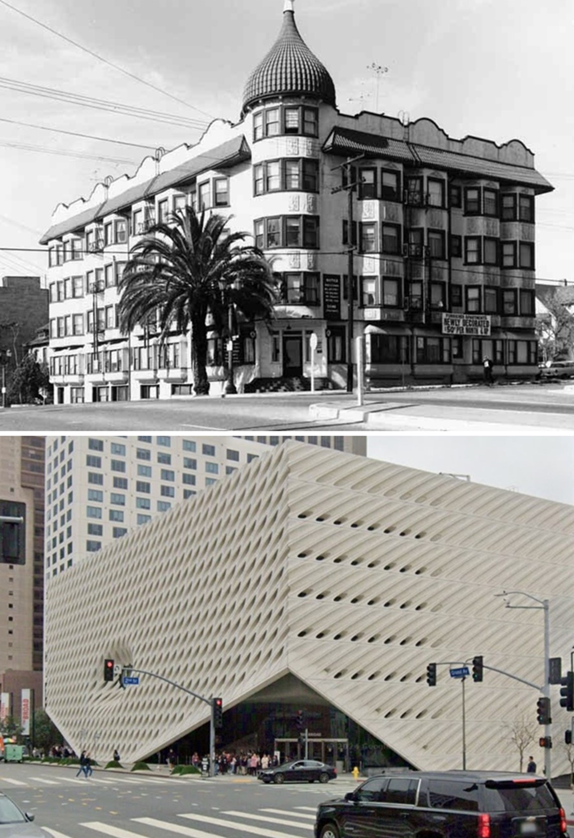 |
|
| (1963 vs. 2024)* - Looking at the southwest corner of Grand Avenue and 2nd Street, where the Dome Apartments once stood, today the site of The Broad Contemporary Art Museum, also known as The Broad. Photo comparison by Jack Feldman. |
Historical Notes After the Dome burned and was cleared, the corner sat as a parking lot until construction began on The Broad in 2014. Opened in 2015, the contemporary art museum was founded by Eli and Edythe Broad and houses over 2,000 works. Its “veil and vault” design stands in stark contrast to the Dome, reflecting Bunker Hill’s transformation from a residential district into a hub of cultural institutions. |
* * * * * |
Fischer Vaudeville Theatre
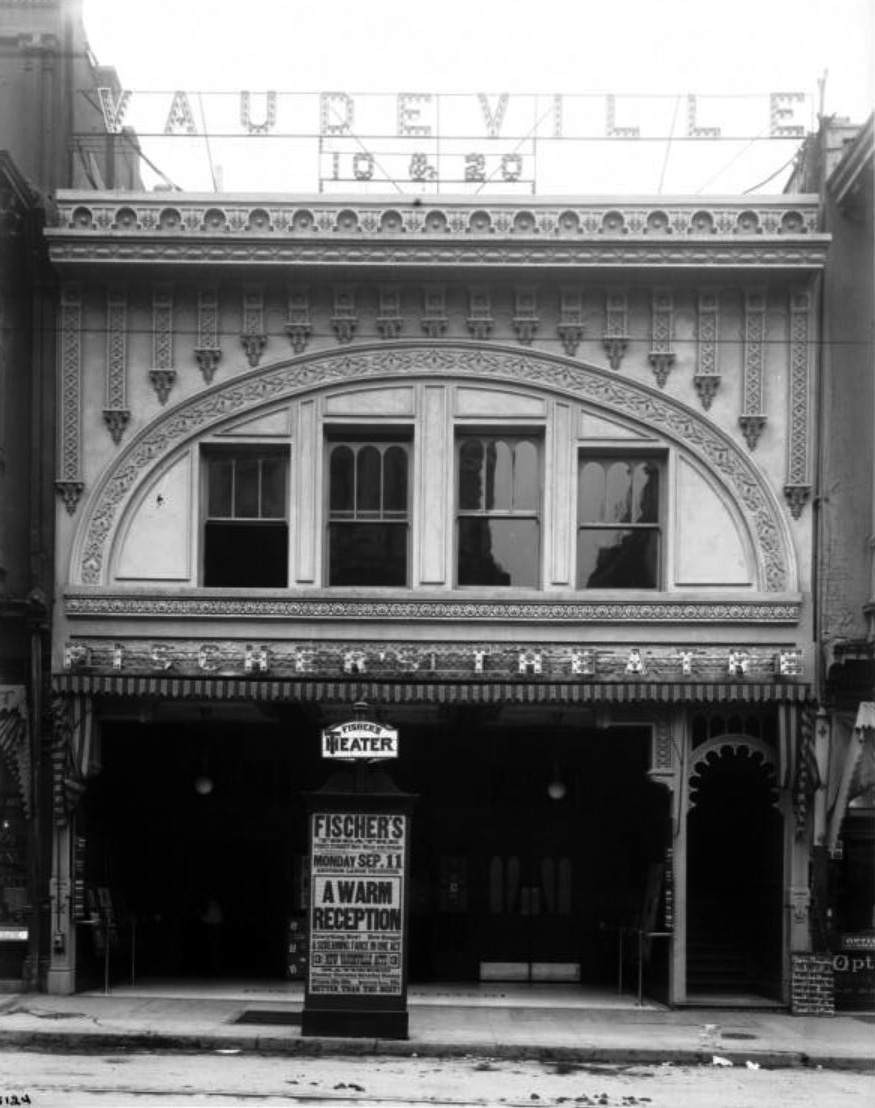 |
|
| (ca. 1905)^ - View of the Fischer Vaudeville Theater (now City Hall), north side of 1st Street, between Main Street and Spring Street. The theatre is about two-stories tall. Just above the first floor is the name "Fischer's Theatre" in lights. Above the roof is the name "Vaudeville, 10 & 20" in lights. The second floor has four windows with a decorative multifoils arch above them. The first floor has two doorways flanking the center booth. A set of stairs leading to the second floor can be seen to the right of the building. A lamppost on the sidewalk prominently displays the theater's name and current showing. Sign reads: "First Street bet. Main and Spring, E.A. Fischer, proprietor, Harry James, director, commencing Monday, Sep. 11, 'A Warm Reception', everything new!, new songs!, a screaming farce in one act, 3, new Vaudeville act, matinees, Tuesday, Thursday, Saturday, Sunday, prices 10¢, 20¢, reserved seats 25¢, better than the best!" |
Historical Notes This small theater was located, on one of the old downtown blocks which was leveled in the mid-1920s to make way for the new Los Angeles City Hall. It was a two story building, with almost the entire ground floor front taken up by the theater’s entrance lobby, and the highly decorated facade was topped by an electric sign reading “Vaudeville 10 & 20”. By 1912, the operators of Fischer’s Theater had taken over the former Los Angeles Theater on Spring Street, which had from 1903 to 1911 been the second Los Angeles home of the Orpheum Theater Circuit. The Spring Street Theater was then renamed Fischer’s Lyceum.^ Opened: Sometime prior to 1908. It's listed in the 1908 city directory as Fischer's. It's listed in the 1907-1908 Henry's Theatrical Guide as being managed by E.A. Fischer. Henry's notes that the house was at the time devoted to stock musical productions year round. Stage Specifications: Illumination in 1907 was both gas and electric. The proscenium was 24' wide with a height of 22'. Stage depth was 30' with a grid height of 45' and a wall to wall measurement of 50'. In the 1911 and 1912 directories it's the Princess. It's in the 1915 city directory as the Princess First St. Theatre. In the 1919 and 1923 directories it's listed as the Princess although by June 1922 it was called the Spanish Theatre offering both movies and stage shows. Seating: 800 Status: Demolished for the 1926 construction of City Hall. Fischer also opened the Chronophone Theatre in 1908, a venue later known as Horne's Big Show. We also had a Fischer's Theatre in Pasadena (later called the Oaks) about the same time. Fischer also took over the Lyceum Theatre around 1912. There were also several Fischer's theatres in San Francisco in this period.* |
* * * * * |
Orpheum - Lyceum Theatre (2nd Home of the Orpheum Circuit
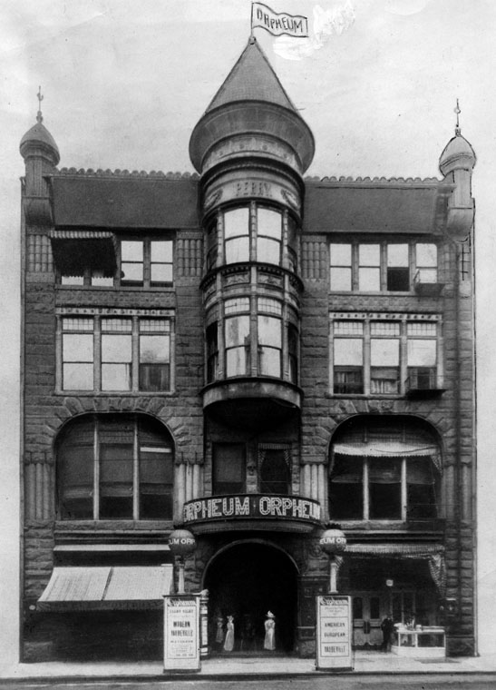 |
|
| (ca. 1903)* - Exterior view of the old Orpheum Theater (later Lyceum Theatre) on Spring Street between 2nd and 3rd Streets. Underneath the building was the Rathskeller. |
Historical Notes Opened in 1888 as the Los Angeles Theatre. The theatre was built by William Hayes Perry and the building containing it was known as the Perry Building. In 1903 this interesting Richardsonian Romanesque building became the Orpheum - the second home of Orpheum Circuit vaudeville in Los Angeles. Previously they'd been at the Grand Opera House. The Orpheum moved on in June, 1911 to their new home at 630 S. Broadway (now the Palace Theatre).**^ |
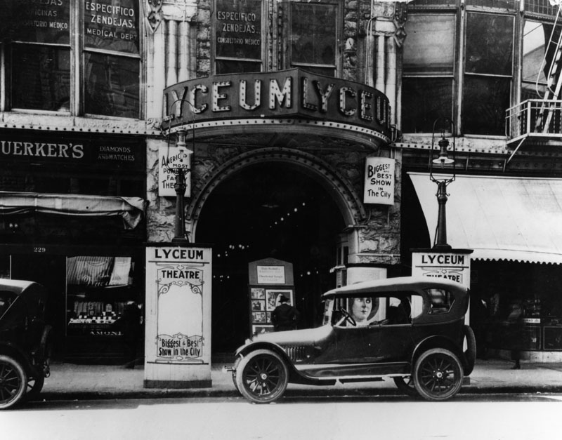 |
|
| (1919)* - View of an early model car parked in front of the entrance to the Lyceum Theatre (previously Orpheum) on Spring Street. Signs in front read: "Biggest and Best Show in the City" and "America's Most Popular Family Theatre". |
Historical Notes In 1912 the building became known as Fischer's Lyceum, operated by the Mr. Fischer of Fischer Theatre on 1st St. Later it was just known as the Lyceum Theatre. It was listed as the Lyceum in the 1916 city directory and onward.**^ |
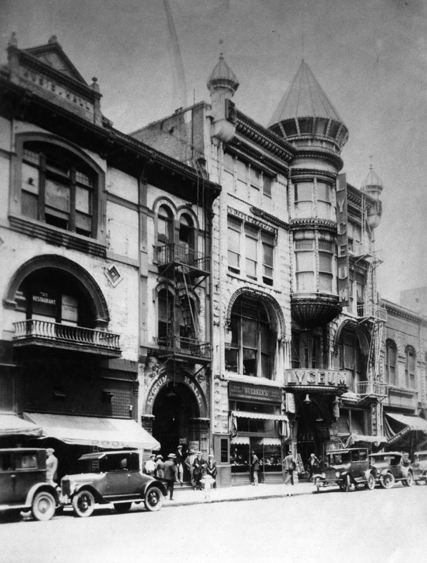 |
|
| (1920)* - Exterior view of the Lyceum Theatre, the original Los Angeles Theater, which opened in 1888 and located at 227 South Spring Street. |
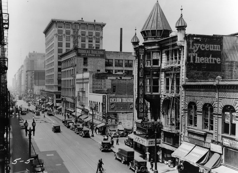 |
|
| (ca. 1930)* - Looking south down Spring Street near 3rd Street (left, with cluster of cars), showing various structures, including the Douglas Building (left of center) and the ornate Lyceum Theatre (right of center). |
Historical Notes Beneath the Lyceum Theatre is one of the original springs from which Spring Street derived its name.* |
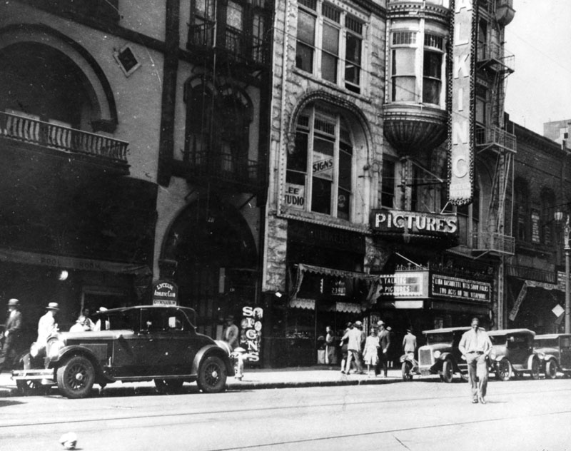 |
|
| (1935)* - Side view of the Lyceum Theatre located at 227 S. Spring Street. Signboards in front of building read "Talking Pictures". |
Historical Notes By the early 30s the Lyceum Theatre was exclusively a movie theatre.**^ |
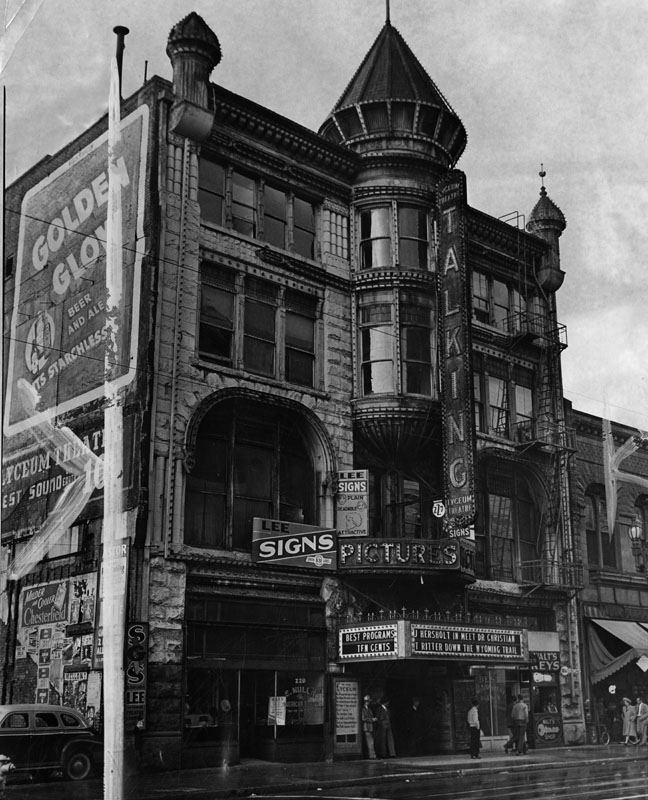 |
|
| (1941)* - Street view of the Lyceum Theatre, located at 227 South Spring Street. It was the second oldest showhouse built in the City. |
Historical Notes In 1941 the Lyceum closed and, later that year, was demolished. The site is now the L.A. Times parking garage.**^ |
* * * * * |
Burbank Theatre
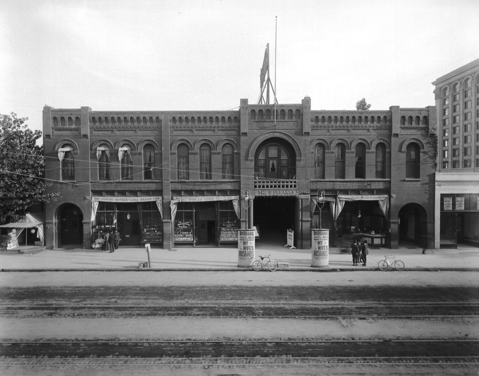 |
|
| (1903)^ – Front view of the Burbank Theatre as seen from acroos the street. The theatre was located on the east side of Main Street between 5th and 6th streets. Two lampposts on the sidewalk prominently display the current theatre showing. Four people (including a woman with a baby stroller) are peering through the window at Carson's Antique and Curio Bazar (left). Three men stand near the street in front of the bar. Along the curb are two parked bicycles. |
Historical Notes The Burbank Theatre opened in 1893 as a project of dentist Dr. David Burbank (also the namesake of the city). The theatre had troubles and went through a succession of managers without any lasting success. **^ |
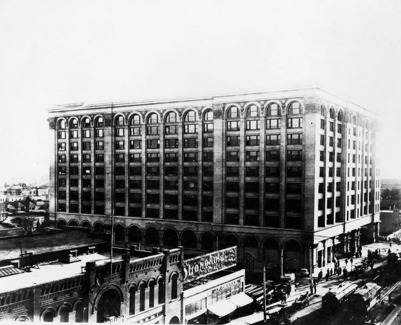 |
|
| (ca. 1905)* – View looking southeast toward the intersection of Main and 6th streets. The brick façade on the lower-left is the Burbank Theatre. The large building on the S/E corner is the Pacific Electric Building. |
Historical Notes In 1900, the theater was leased to Oliver Morosco and became known as Morosco's Burbank Theatre. Morosco was later involved in the Majestic Theatre on Broadway (which opened in 1908) and got a house named for himself when he opened the Morosco on Broadway (now the Globe) in 1913. **^ |
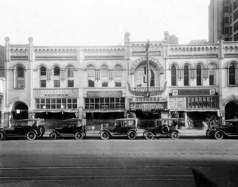 |
|
| (1910s)* - Five early model cars are seen parked in front of the Burbank Theatre located at 548 S. Main Street. |
Historical Notes In a 1919 ad the theatre was called Pelton's Burbank, featuring the New Burbank Musical Comedy Company. In the 1921 city directory it was called Gore's Burbank. It was a newsreel house in the 1930's, got a deco makeover in 1937 and by the 50s it was turned into the Burbank Burlesque Theatre. **^ |
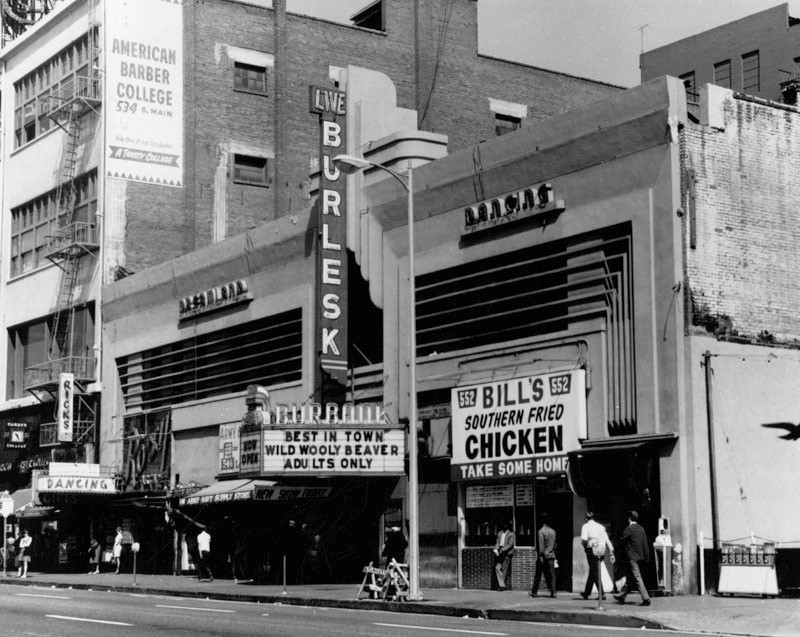 |
|
| (ca. 1970)* - View showing the Burbank Burlesque Theatre with the Dreamland dance hall on the 2nd floor of the building. Note the design change to the facade. |
Historical Notes In 1937, the Burbank Theatre got a deco makeover and by the 1950s it was turned into the Burbank Burlesque Theatre. |
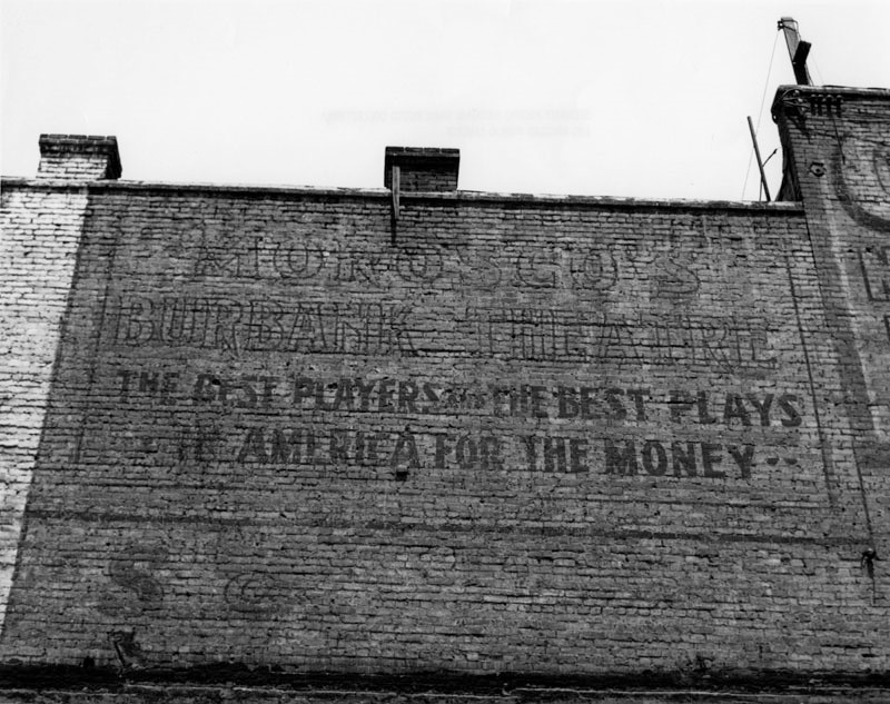 |
|
| (n.d.)* – View showing the back wall of the theatre with the early 1900s Morosco sign still in view. The sign reads “Morosco's Burbank Theatre, The Best Players and The Best Plays in American for the Money”. |
Historical Notes The Burbank Theatre was demolished in March, 1974. |
* * * * * |
Ville de Paris
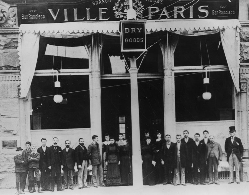 |
|
| (ca. 1901)* - Exterior view of the Los Angeles branch of the San Francisco dry goods store, Ville de Paris, remodeled in 1901. The employees (men, women and young boys) pose in front of the store. Two electric lights hang down in front of the store windows. |
Historical Notes Founded in 1850 in San Francisco by the Verdier brothers, immigrants from France, the Los Angeles branch was opened in 1893. The store later became B. H. Dyas Co.* |
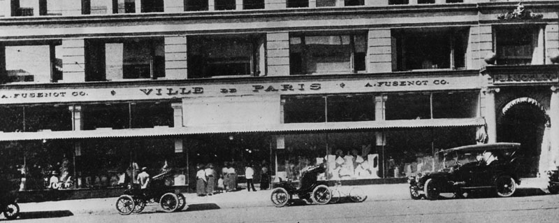 |
|
| (1904)* - Ville de Paris store front at South Broadway in the Homer Laughlin building. Horseless carriages are parked at the curb. |
Historical Notes The store later moved to W. 7th St. and eventually became B. H. Dyas Co. The Homer Laughlin Building became the Grand Central Market by 1959.* |
* * * * * |
Harris & Frank
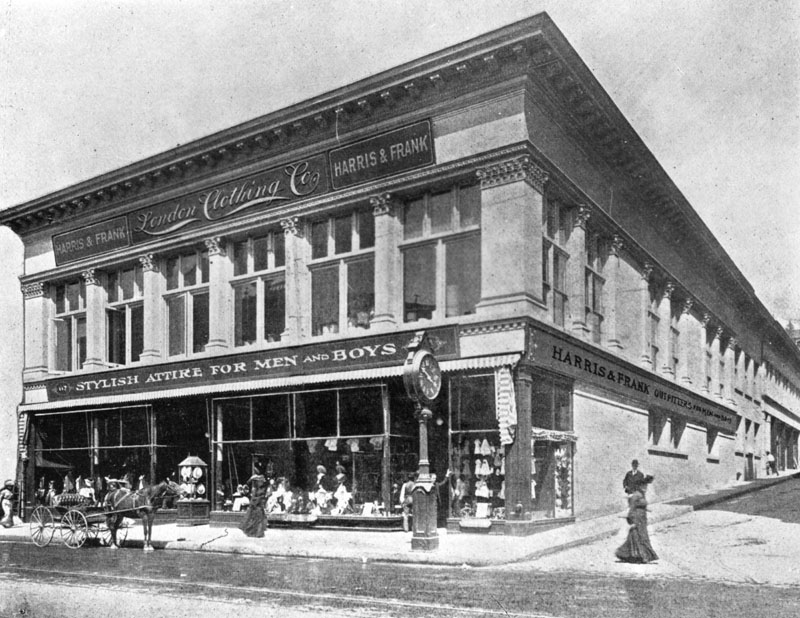 |
|
| (1903)* - The building on Spring Street housing the men's clothing store of Harris & Frank; John Parkinson was the architect. |
Historical Notes Originally Lewin Hirshkowitz, Leopold Harris arrived in Los Angeles in 1854 by way of the Isthmus of Panama from Loebau, Prussia (later Poland). In 1870 Leopold Harris took over a Main Street stationary store which had been operated by Herman W. Hellman. By 1903, Leopold Harris’ two sons-in-law, Herman W. Frank and M.C. Adler, and his son, Harry L. Harris, were running the business, which was then known as Harris & Frank.^^#* |
* * * * * |
Lexington Hotel
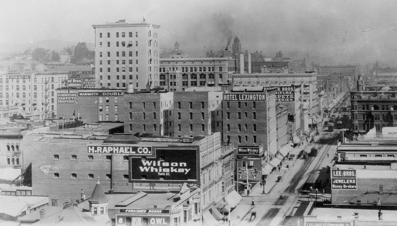 |
|
| (ca. 1904)* – Panoramic view looking north on Main Street showing the Lexington Hotel at center. Some other identifiable buildings include: H. Raphael Co., Barker Bros., and Angelus Hotel to name a few. |
Historical Notes Located on Main Street between 4th and 5th Street, the Lexington Hotel was designed by Robert B. Young and built by contractor, O. T. Johnson.* |
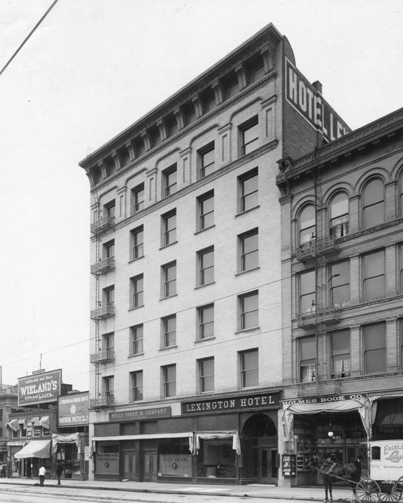 |
|
| (1904)* - View of the Lexington Hotel on Main Street between 4th and 5th streets, butting the south wall of the first Rosslyn Hotel on the right.The signs indicate three businesses on the bottom floor: Wells Fargo & Company, Lexington Hotel entrance, and Holmes Book Co. |
Historical Notes In 1906, the Rosslyn expanded to include the six-story Lexington building. The result was a 280-room hotel. The Rosslyn would eventually build two larger structures just to the south (left) of the Lexington building.^#* |
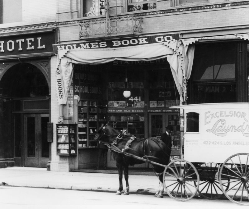 |
|
| (1904)* – Blow-up detail view of previous image showing a horse-drawn carriage belonging to Excelsior Laundry service parked outside of the Holmes Book Co., a business located on the ground floor of the Lexington Hotel (entrance on far left). |
* * * * * |
Olvera Adobe
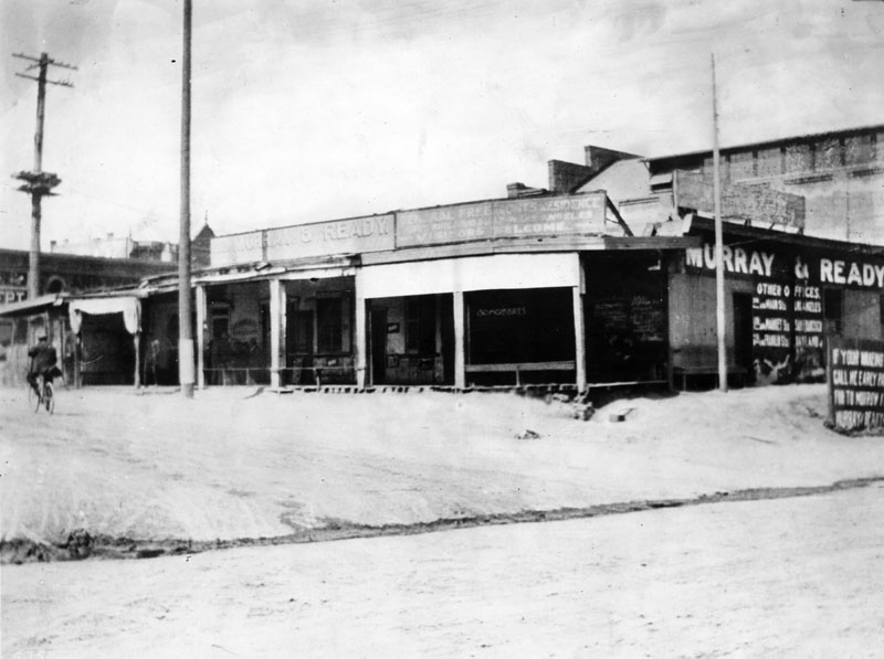 |
|
| (ca. 1904)* - View of Agustín Olvera adobe, located on the corner of Marchessault and Olvera streets, after it had been converted into office space for Murray & Ready. A man can be seen riding his bicycle on the unpaved road toward the left. The Plaza Substation may be seen behind the Olvera Adobe (with the stepped-gable end). It was built in 1903-04. |
Historical Notes Agustín Olvera arrived from Mexico in 1834 where he had been a Justice of the Peace, and held various offices in the Mexican administration. In 1842 he was granted Rancho Mission Viejo, and three years later, was also granted the 35,501-acre Rancho Cuyamaca. Olvera is noted for helping to bridge the gap between the governance of California by Mexico and the U.S.; helping sign the Treaty of Cahuenga, thus ending the war in California; was appointed to be Judge of the First Instance in 1849; was elected as the first county judge of the newly formed County of Los Angeles in 1850; and eventually entered private practice law. In 1877, the Los Angeles City Council changed the name of Wine Street to Olvera Street in his honor. Marchessault Street is named for French Canadian, Damien Marchessault, who served as mayor of Los Angeles from 1859-1860, and again from 1861-1865. During his term in office, the Plaza Church was rebuilt and the City Gas Company was organized. Marchessault committed suicide in the city council chamber in 1868, after becoming despondent over public criticism of the water system and over gambling debts.* |
Click HERE to see more in Early Plaza of Los Angeles |
* * * * * |
Van Nuys Mansion
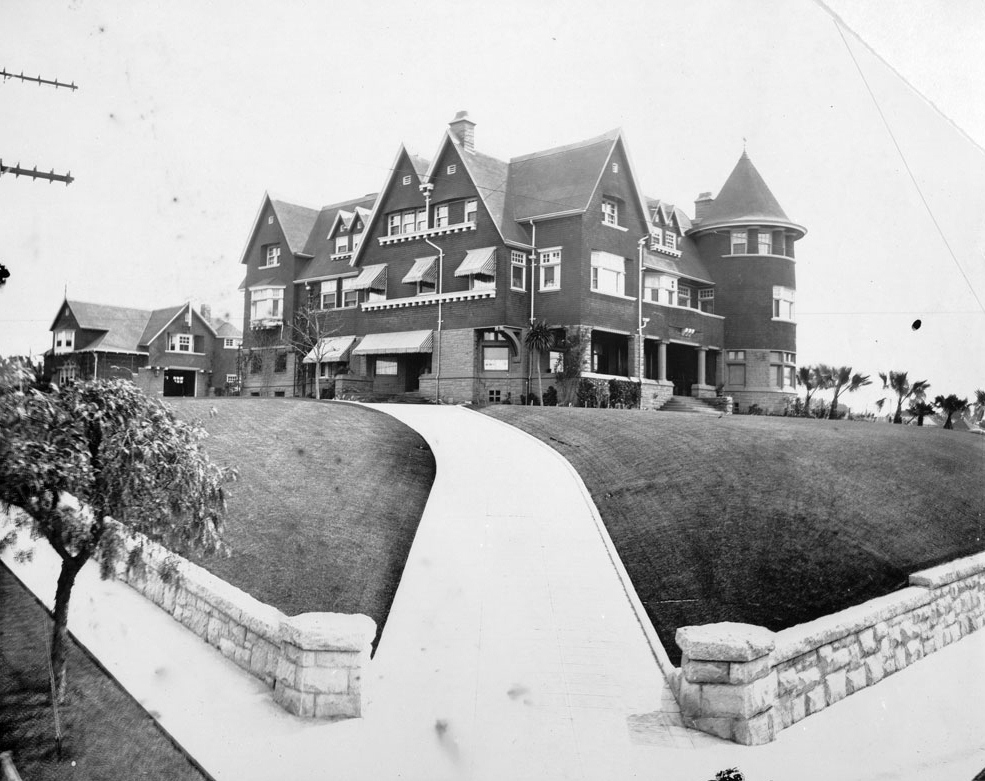 |
|
| (ca. 1904)^ - Exterior view of the Van Nuys mansion in downtown Los Angeles, ca.1904. The massive building is on a hill at center. It is three stories high and has very steeply sloped roofs. A tall cylindrical tower can be seen on the corner of the building at right. In the foreground, the hill is covered with neatly trimmed grass, and a wide concrete walkway leads from the entrance to the home to the foreground at center. |
Historical Notes The house was later moved to Windsor Square on the northwest corner of Fourth Street and Lorraine Boulevard. |
* * * * * |
"The Castle" and "The Salt Box"
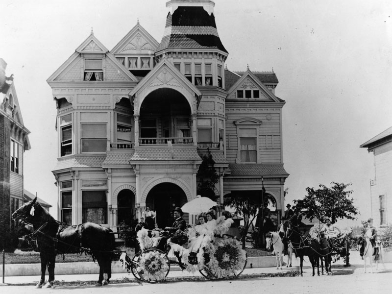 |
|
| (ca. 1904)* - Women in a horse-drawn carriage ride past the Victorian-style house known as "The Castle" located at 325 S. Bunker Hill Avenue during the La Fiesta de las Flores parade. |
Historical Notes The Castle was built in the late 1880s, possibly by developer Reuben M. Baker. The grand home had 20 rooms, a three-story staircase winding up the middle, and a magnificent stained glass front door. The La Fiesta de las Flores Parade was first celebrated in 1894 as a means of attracting visitors to the city. La Fiesta activities were held over several days and included a parade, a grand ball, and a floral battle. Costumed Los Angeles residents participated in the parade by decorating any moving contraption they had. |
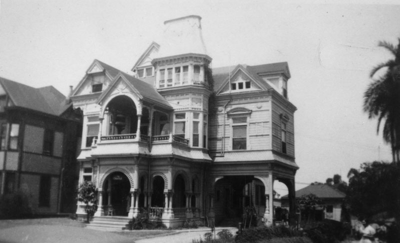 |
|
| (ca. 1924)* - Looking across S. Bunker Hill Avenue towards the "Castle," located at 325. The curved Mansard roof on the tower (upper center) and the triangular crown of a front balcony (left of center) were removed after the 1933 Long Beach earthquake. On the far left is a glimpse of the residence that once belonged to the Thorpe family at 333. |
Historical Notes The Donegan Family lived in the residence from 1894-1902, and they were the ones who supposedly named it "The Castle." Eventually, the mansion was converted into a boarding house for multiple residents. Bunker Hill Avenue was probably the most picturesque street in the neighborhood of the same name. The avenue was much more narrow than the other streets and was lined with some of the most impressive mansions on the Hill. |
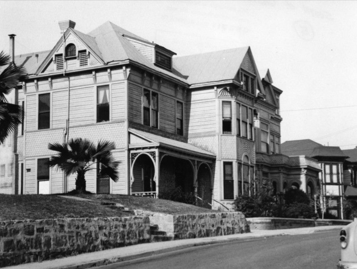 |
|
| (1955)* - Looking across the street towards three structures on S. Bunker Hill Avenue. From left to right, the residence once belonging to the Thorpe family at 333, "The Castle" at 325 (right of center), and the residence at 321 (far right), once belonging to Lady Frances McDonald. |
.jpg) |
|
| (1955)* - View of the Castle, at 325 South Bunker Hill Avenue, former home of D. E. Donnigan. Home has bay windows, dormers an elaborate entrance, and a porte cochere. A woman is walking toward the front steps. Photo by Arnold Hylen |
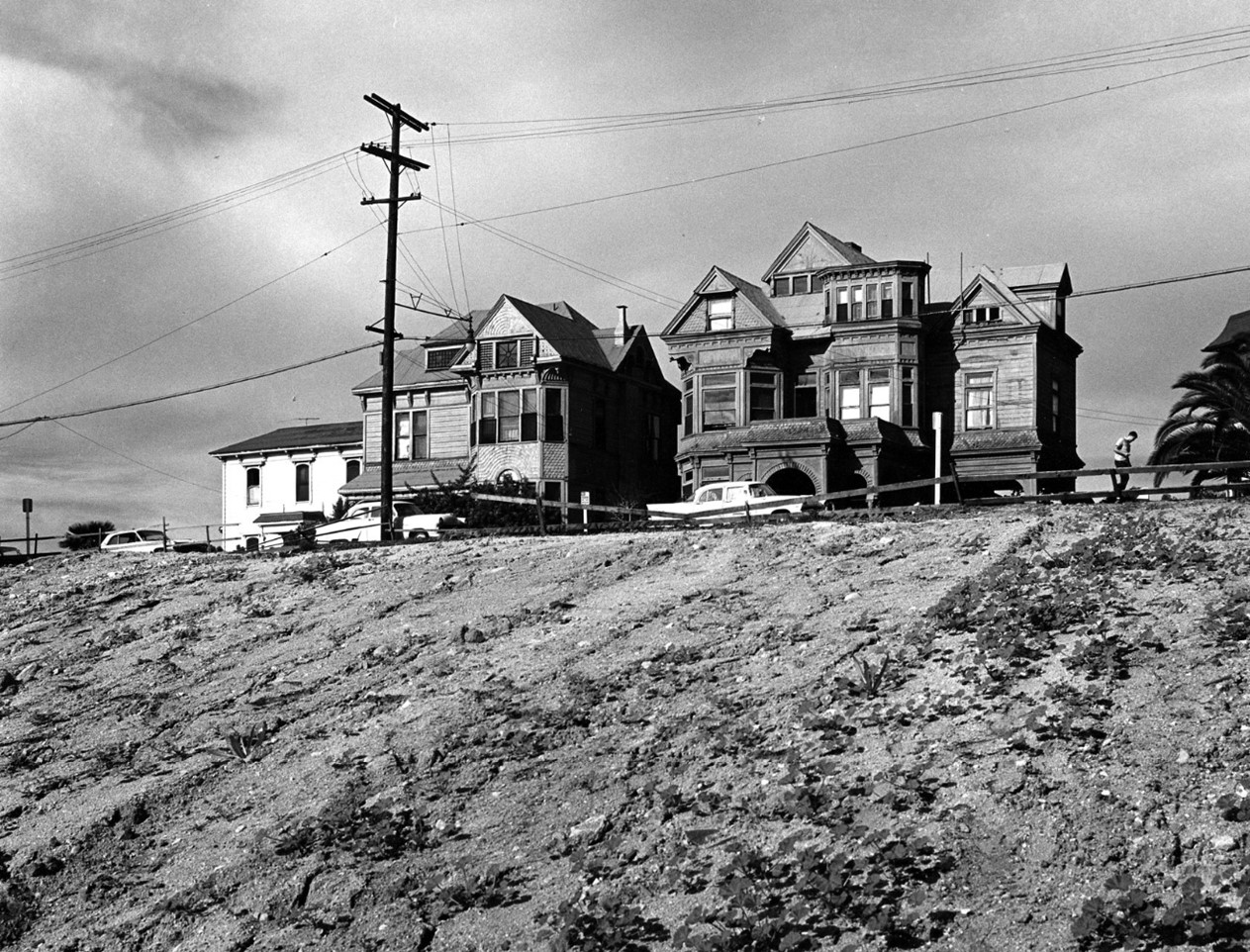 |
|
| (1965)* – View overlooking weedy lot towards Victorian houses lining Bunker Hill Avenue in the Bunker Hill area of Los Angeles. The ‘Castle’ is seen on the right. The white building on the left was referred to as the 'Salt Box'. Photo by William Reagh. |
Historical Notes The Salt Box was two doors down from the grand mansion that came to be known as the Castle. Since Rueben M. Baker owned the lots, he was probably responsible for the construction of all three houses. Baker resided at the Castle until 1894 and possibly rented out the Salt Box until selling it to Ada Frances Weyse and her husband Rudolph in 1892. |
.jpg) |
|
| (1965)* - The Bunker Hill residence, affectionately called "The Castle" is being painted by two artist at their easels. Photo by William Reagh. |
Historical Notes In 1965, 'The Castle' was designated LA Historic-Cultural Monument No. 27 (Click HERE to see complete listing). |
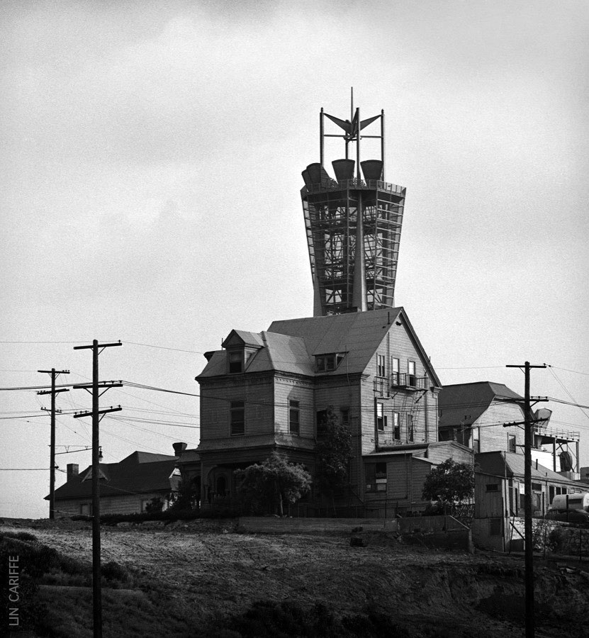 |
|
| (1965)* - View showing the “Castle” (at center) and the ‘Salt Box’ (right) with the PacBell Telephone MicrowaveTower behind them in the distance. Photo courtesy of Lin Cariffe |
Historical Notes The 'Castle', in foreground, and the 'Salt Box', both built before 1890, were the only two buildings saved from the bulldozer when the entirety of Bunker Hill was leveled to make way for the future. |
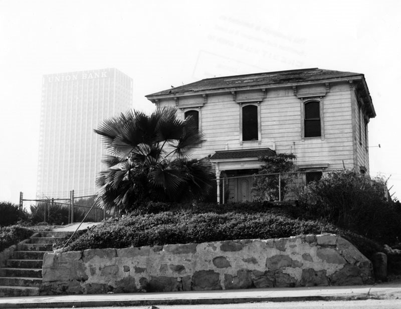 |
|
| (1967)* - Front view showing a residence known as the "Salt Box," located at 339 S. Bunker Hill Avenue. The recently completed Union Bank Building (left), is evidence of the drastic changes underway in and around Bunker Hill. |
Historical Notes The Salt Box was two doors down from the grand mansion that came to be known as the Castle. Since Rueben M. Baker owned the lots, he was probably responsible for the construction of all three houses. Baker resided at the Castle until 1894 and possibly rented out the Salt Box until selling it to Ada Frances Weyse and her husband Rudolph in 1892. In 1900, the house at 330 S Bunker Hill was home to two households. By 1910, the Salt Box had been divided up into seven separate units which housed families as well as single tenants. In 1920 there were ten units and by 1939 the house had been further divided into thirteen separate residences. Those who called the Salt Box their home came from all walks of life and included painters, nurses, waiters, and of course pensioners who could afford rents that were as little as $9.75 per month. Built in the 1880s, the "Salt Box" was Los Angeles Historic-Cultural Monument No. 5. (Click HERE to see complete listing). |
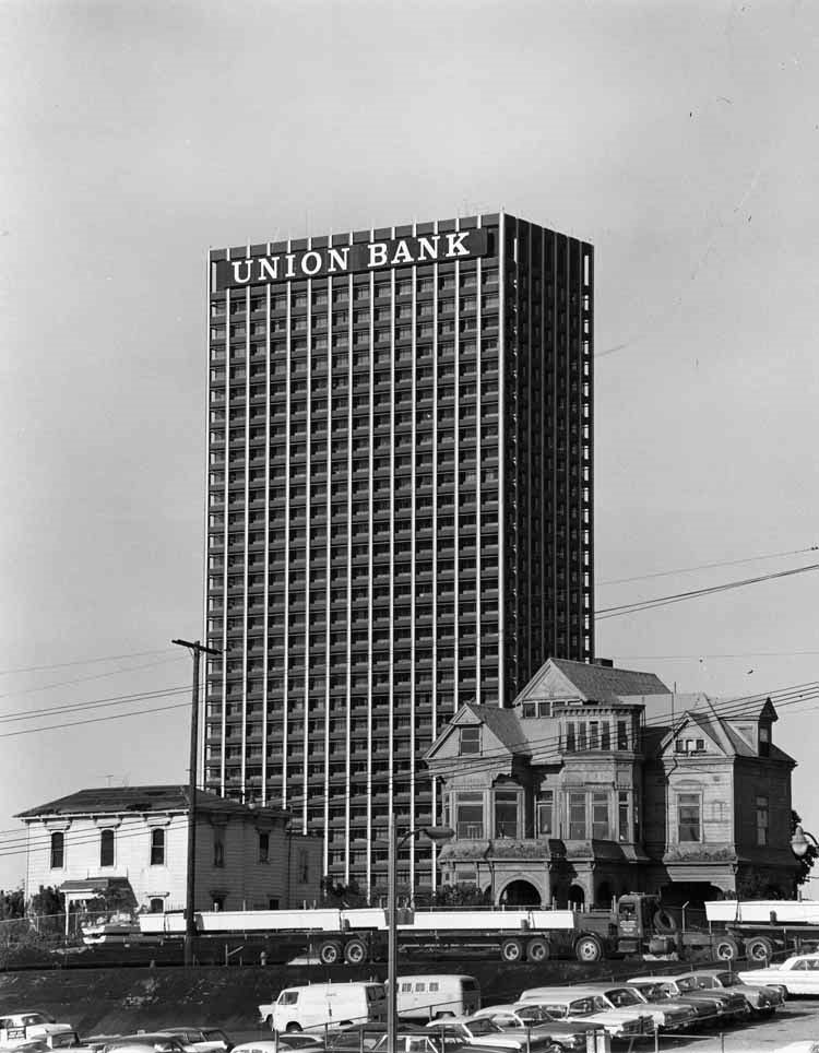 |
|
| (1968)* – View showing The Castle and Salt Box houses with the Union Bank Building in the background and trucks and cars in foreground. |
Historical Notes At the end of 1968, the decision was finally reached to move the Castle and Salt Box to Highland Park in an area called Heritage Square in Highland Park. |
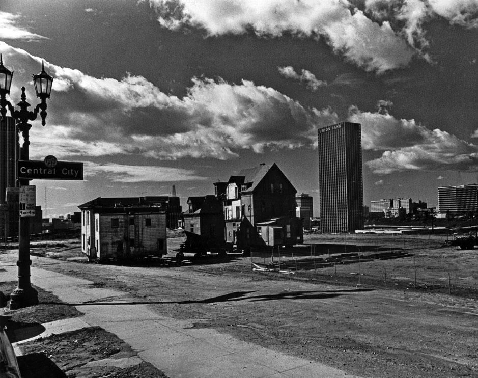 |
|
| (1968)* - "The Castle" and "The Saltbox," sit on blocks awaiting their removal from Bunker Hill. The Union Bank Building stands tall in the background. |
Historical Notes By 1968, all of the once proud Victorians of Bunker Hill Avenue had been demolished, except for the Castle and the Salt Box. The two structures that had been constructed at the same time had been spared. Once the CRA began pushing forward with their grand redevelopment plan in the mid-1950s, the writing was on the wall for the mansions in the neighborhood, and in an attempt to save a couple of the structures, the Salt Box was declared Historic Cultural Monument #5 in October in August 1962. Designation was soon bestowed upon the Castle which became HCM #27 in May 1964. The rest of the decade was spent trying to figure out a way to spare the two structures from the wrecking ball. |
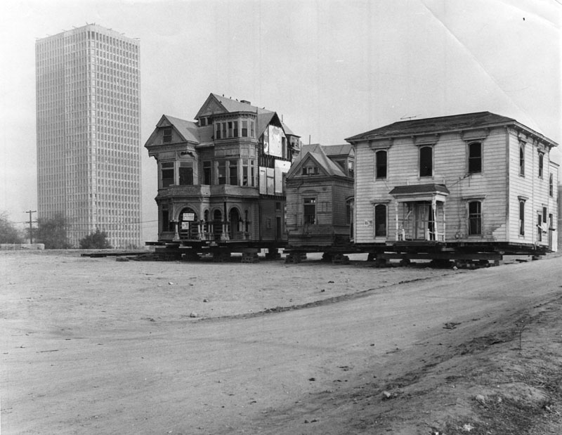 |
|
| (1969)* - "The Castle" and "The Saltbox," sit on blocks awaiting their removal to Montecito Heights. The 32-story Bunker Hill Tower, built in 1968, is seen in the background. Photo Date: January 10, 1969. |
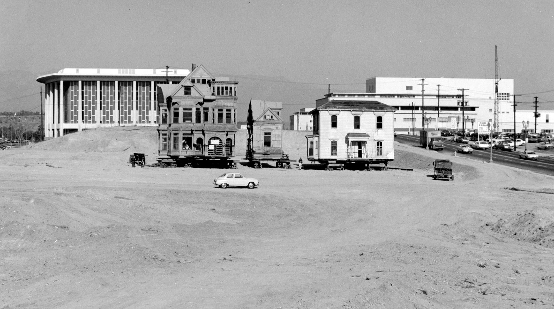 |
|
| (1969)* - View of the last remaining residence on Bunker Hill. "The Castle" and "The Saltbox" are jacked up and ready for moving. The Dorothy Chandler Pavilion and Stanley Mosk County Courthouse can be seen behind them to the north. |
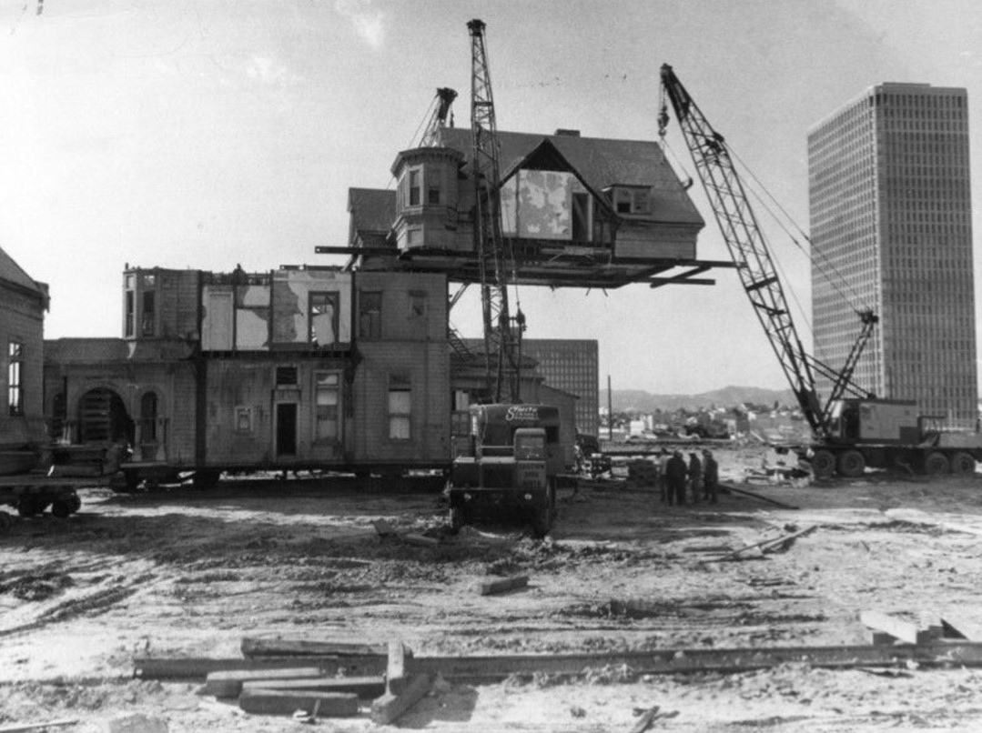 |
|
| (1969)* - Three heavy cranes support the upper floor of the historic Bunker Hill house called "The Castle." The upper floor was then lowered onto blocks to prepare it for relocation to Arroyo Seco Park. Since the size of the house made it impossible to move, the house was cut into three sections--the north wing, the third floor and the two main stories. Photo by Myron Dubee. |
Historical Notes Both "The Castle" and "The Saltbox" were successfully relocated to Heritage Square in March 1969. Unfortunately, the area was not well protected, and both the Castle and the Salt Box were burned to the ground by vandals in October 1969. |
* * * * * |
Nelson Flats
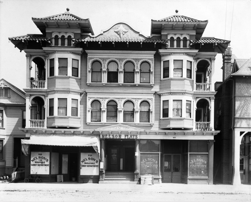 |
|
| (ca. 1910)^ - Exterior view of the Italianate and Moorish Revival style Nelson Flats, located at 515-519 East 4th Street. Note the similarities between these Moorish style arches and those found in the Bunker Hill home of the previous photo. |
Historical Notes At the turn of the 20th century, the eastern area of present-day Skid Row remained largely residential, despite a small but growing industrial presence. At the time, the 500 block of East 4th Street was occupied by apartment houses and smaller homes, with the exception of a candy factory and fire station which sat adjacent on the north side. In 1904, the owner of Nelson’s Candy Factory, A. L. Nelson, had the factory and shop space rebuilt on the ground floor of a new apartment building, christened as the Nelson Flats. Designed by A. L. Haley, the three-story structure was designed in a mix of Italianate and Moorish Revival styles that was popular at the time. Though primarily an architect of apartments and small residences, Haley’s best-known work today is likely the Higgins Building at Second and Main Streets. As the century progressed, many of the neighborhood’s apartment buildings gave way to warehouses as the eastern downtown districts became increasingly dominated by industry, aided by the city’s zoning ordinances. Though the Nelson Flats and several of its neighbors survived into the 1950s, they have long since disappeared, leaving behind nearly no traces of the area’s residential past.* |
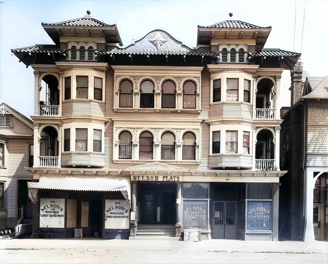 |
|
| (ca. 1910)^ – Nelson Flats, a mixed-use building located at 515-519 East 4th Street in DTLA. (AI image enhancement and colorization by Richard Holoff) |
* * * * * |
Good Samaritan Hospital
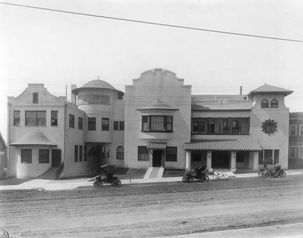 |
|
| (ca. 1904)* – Three early model automobiles and a bicycle are parked in front of the Mission Revival-style Good Samaritan Hospital on Seventh Street west of Figueroa Street. |
Historical Notes Good Samaritan Hospital in Los Angeles has a long and storied history dating back to 1885. Originally established by the Episcopal Church as St. Paul's Hospital & Home for Invalids, it was later renamed Hospital of the Good Samaritan in 1895. The original location of St. Paul's Hospital and Home for Invalids in Los Angeles was what today is 321 South Olive Street (originally 215 South Olive Street)*. In October 1887, the hospital moved to a leased, wood-frame house at 31 Sand Street (later renamed California Street). It remained at this Sand Street address until 1895, when it became known as the "Hospital of the Good Samaritan" and was relocated to the south side of 7th Street near Pearl Street. In 1897, Pearl Street was officially renamed Figueroa Street. In 1912, Good Samaritan Hospital (GSH) relocated to the recently completed Columbia Hospital (built 1910), located on the northeast corner of Wilshire and Witmer. By the mid-1920s, GSH had acquired the entire block of Wilshire Blvd between Witmer and Lucas, and new hospital buildings would be subsequently be built on that block over the next several decades. *Note: Los Angeles city ordinance renumbering all street addresses went into effect in December 1889; 215 South Olive thus became 321 South Olive.* |
* * * * * |
Braly Building (currently The Continental)
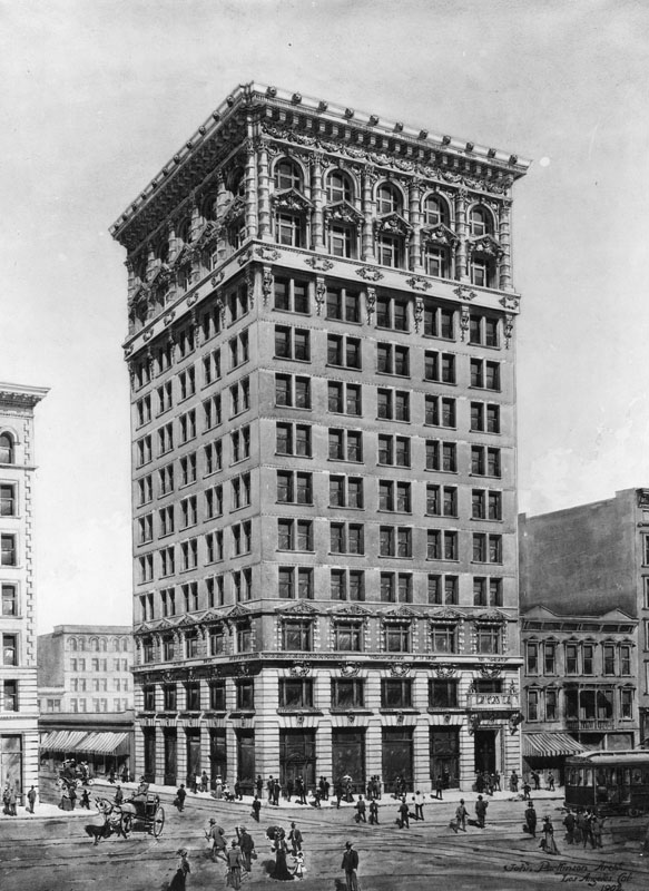 |
|
| (ca. 1904)* - Architectural rendering of the Braly Building, designed by John Parkinson. This Beaux Arts office block was the first skyscraper in Los Angeles and was built in 1904 on the southeast corner of South Spring and West 4th Streets. |
Historical Notes At one time the Braly Building was the tallest building in Los Angeles. Architect John Parkinson designed the Beaux Arts office block, which was built in 1904.* |
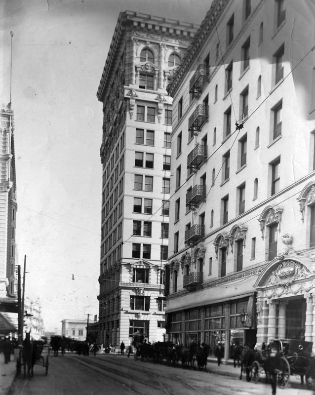 |
|
| (ca. 1904)* - View is looking across Spring at 4th to Main St. The Braly Building is seen at center of photo. The Angelus Hotel on the right. |
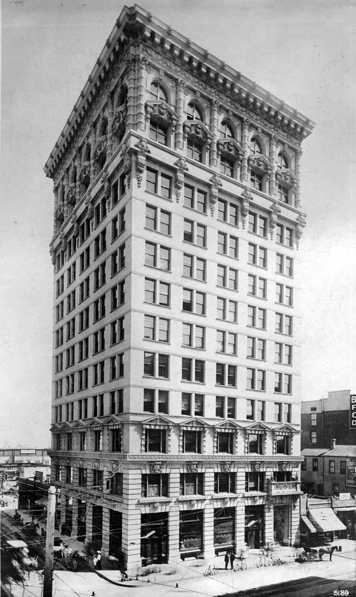 |
|
| (1904)* - Exterior view of the Braly Building on the southeast corner of 4th and Spring Streets, later called the Union Trust Building, the Hiberman Building, and then the Continental Building. |
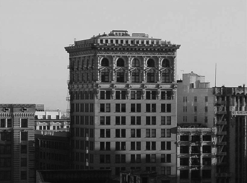 |
|
| (n.d.)*##^ - View showing The Braly Building (now Continental Building) located at 408South Spring Street. |
Historical Notes In 2002, the Continental Building (Braly Building) was dedicated as Los Angeles Historic-Cultural Monument No. 730 (Click HERE to see complete listing). |
_2018.jpg) |
|
| (2018)^.^ - The Continental (formerly Braly Building), LA’s first high rise. When built in 1904 it was the tallest building in Los Angeles at 151 feet. |
* * * * * |
El Miradero
 |
|
| (ca. 1904)* - View of El Miradero, the estate of Leslie C. Brand, as seen from the entrance gates of the property. |
Historical Notes Born in Missouri in 1859, Leslie Coombs Brand became the sole provider for his family at age 11. In 1886, Brand came to California to take advantage of its first boom period. Brand was a major figure in the settlement and economic growth of the Glendale area. He had purchased land on the lower slopes of Mount Verdugo overlooking the city, and in 1904 built an imposing residence that became known as Brand Castle, also El Miradero (which today houses the Brand Library). |
 |
|
| (1911)* – View showing the home of L. C. Brand, El Miradero, through the front arched entryway. Two bicycles rest on the stoned pillars supporting the archway. |
Historical Notes The photograph was taken by Miss Ethel Thompson, a nurse at the Burbank Hospital and sister to Dr. Elmer Thompson (Thompson Memorial Hospital, and the only doctor in Burbank at this time.) |
 |
|
| (1904)* – West side view of the newly constructed ‘El Miradero’, home of Leslie C. Brand. |
Historical Notes Designed by Leslie C. Brand's brother-in-law Nathaniel Dryden, the mansion was completed in 1904 and is similar in style to that of the East Indian Pavilion built for the 1893 Columbian World Exposition held in Chicago. The architecture is considered Saracenic, with crenellated arches, bulbous domes and minars combining characteristics of Spanish, Moorish, and Indian styles. |
 |
|
| (ca. 1906)* – View of El Miradero Mansion standing between orange groves in the foreground and the Verdugo Hills in the background. |
Historical Notes Leslie C. Brand helped develop the city of Glendale. Together with Henry E. Huntington, he brought Pacific Electric to the town to develop it. The 'Brand Library' section of the Glendale Public Library is named in his honor. Brand Boulevard in Glendale is also named in his honor. |
 |
|
| (ca. 1906)* - View of exterior porch of El Miradero (Brand Mansion) enclosed with a scalloped arched arcade. The porch is furnished with wicker chairs and potted plants. |
 |
|
| (ca. 1906)* – View looking South over Glendale and Griffith Park toward Los Angeles through one of the many arches of ‘El Miradero’. |
Historical Notes Just across the mostly dry Los Angeles River, Brand could see the Griffith Park Aerodrome's grass field, built in 1912. Just three years later he decided to build his own grass airstrip below his mansion. |
 |
|
| (1921)* - An aerial view of L. C. Brand's airfield in front of his home, El Miradero in Glendale. The airplanes took off downhill toward Kenneth Road. |
Historical Notes Brand established a grassy, well-manicured airfield in front of the mansion. The airfield consisted of a 1,200' rolled dirt runway, with a white hangar at one end and a putting green on the other. The hangar matched the architectural style of the mansion - with turrets atop each of the 4 corners. |
 |
|
| (ca. 1920s)* – View of millionaire Leslie C. Brand mowing the lawn in front of the Moorish-style hangar at his private Airfield. |
Historical Notes Brand built his first hangar in 1916 and put together a fleet of planes, and held fly-in parties. The only requirement was that guests had to arrive in their own planes and bring passengers. |
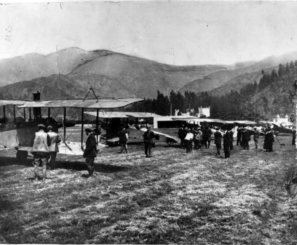 |
|
| (1921)^*# – Several airplanes and guests arriving at Brand's fly-in luncheon party on April 1, 1921. El Miradero Mansion is seen in the background. Click HERE to see more in Aviation in Early L.A. |
Historical Notes Brand Field was no longer depicted on a 1931 street map, but “Brand Park” was depicted, so the airfield may have ceased operation by that point. |
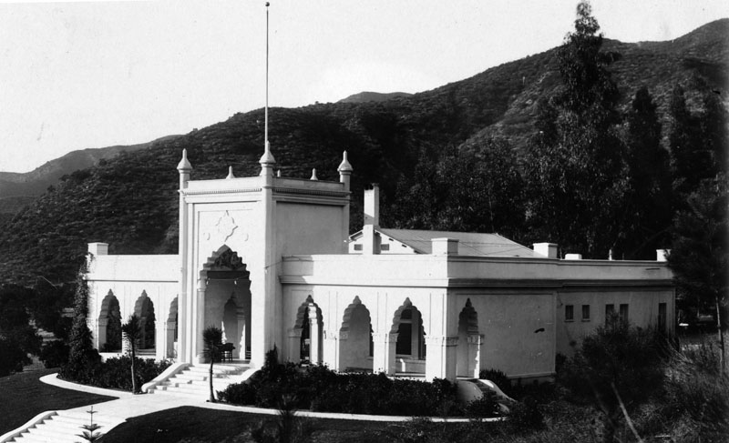 |
|
| (ca. 1920s)* - Exterior view of El Miradero, the estate of Leslie C. Brand, located in Brand Park, high in the foothills overlooking Glendale and the San Fernando Valley. |
Historical Notes Brand is largely responsible for Glendale’s civic development: he organized utility companies, founded the Title Guarantee and Trust Company, sponsored local businesses, invested heavily in San Fernando Valley real estate, and built a private airstrip where he hosted the world’s first fly-in parties. |
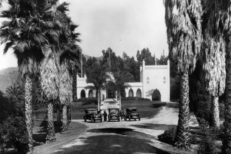 |
|
| (ca. 1920)* - View of El Miradero and estate grounds, once home to Leslie C. Brand. Three vehicles are seen parked next to one another where the driveway and path to the front door meet. Four people, three men and one woman, are standing next to the automobiles. |
Historical Notes It was stated in Brand's will that El Miradero would be bequeathed to the city upon his wife's death, on the condition that the property be used exclusively for a public park and library. Mrs. Mary Louise Brand retained rights of the residence from 1925, when Mr. Brand died, until her death in 1945. |
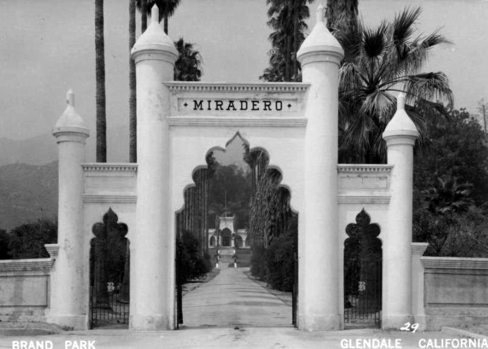 |
|
| (ca. 1940s)* - Postcard view of the entrance to El Miradero, the estate of Leslie C. Brand, located in Brand Park. |
Historical Notes In 1956 the mansion became the Brand Library, the art and music branch of the Glendale Public Library. The address is 1601 West Mountain Street, Glendale. |
 |
|
| (2014)* – View looking up the stairway leading to the entrance of the Brand Library after its renovation. Photo by Hans Gutknecht/Los Angeles Daily News |
Historical Notes After an extensive $10 million renovation, the Brand Library & Art Center reopened on March 27, 2014. Brand Library and Art Center encompasses El Miradero, the Brand family mansion built in 1904; an art and music library; a recital hall; art galleries; and art studios. |
* * * * * |
Hollywood Hotel
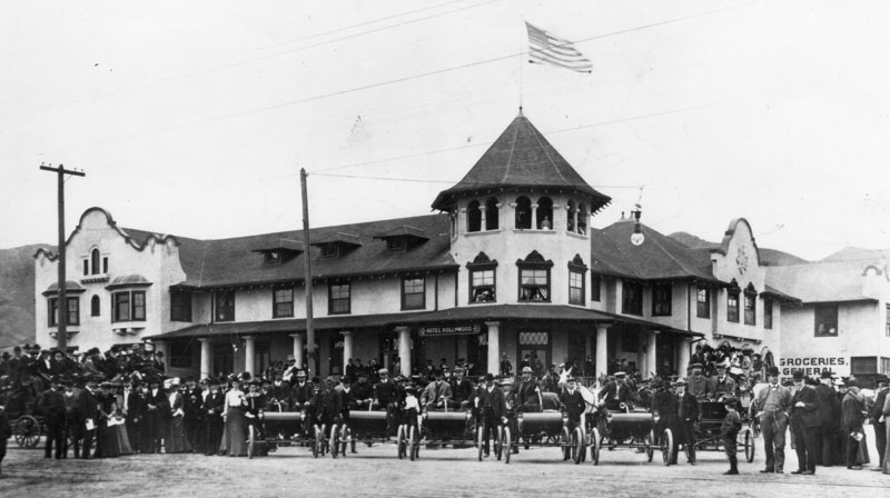 |
|
| (1903)* - View of the Hollywood Hotel at northwest corner of Prospect Ave. (later Hollywood Blvd.) and Highland Ave. showing a gathering of people, fronted by five identical open-air automobiles. Only the original portion of the hotel had been built at this time. Photo Date: April 26, 1903 |
Historical Notes The Hollywood Hotel opened in December 1902. It was built by early Hollywood developer H.J. Whitley, to support selling residential lots to potential buyers arriving from Los Angeles by the electric Balloon Route trolly of the Los Angeles Pacific Railroad. It was developed on property owned by Harrison Gray Otis, George Hoover, and Whitley. Located on the west side of Highland Avenue, the elegant wood structure with Mission Revival style stucco facades and broad verandas also fronted on unpaved Prospect Avenue, lined with California pepper trees. The hotel was sited among lemon groves then at the base of the Hollywood Hills, part of the Santa Monica Mountains in the area. Whitley was instrumental in improvements to Prospect Avenue, which in 1910 was renamed Hollywood Boulevard. Increasing business compelled the building of an additional 40-room wing onto the hotel in 1905.^ |
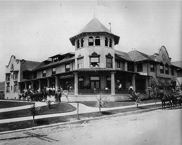 |
|
| (1905)^* - A closer view of the Hollywood Hotel. Guests can be seen standing on the front porch while horse-drawn wagons are parked in front of the hotel and along the curb of an unpaved Highland Avenue. |
Historical Notes Whitley surrounded the hotel with 3 acres of cultivated gardens. He operated the establishment as a country resort hotel as the developing community of Hollywood first established itself.^ |
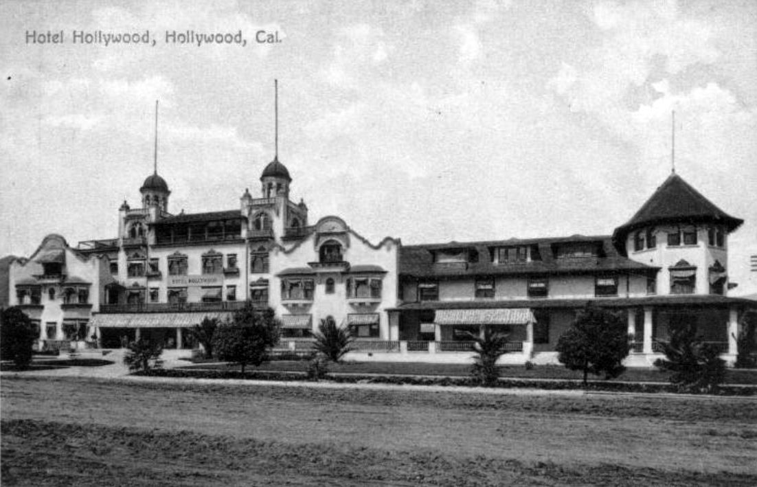 |
|
| (1906)*– Postcard view of the Hollywood Hotel after new addition. Prospect Avenue (later Hollywood Boulevard) is still unpaved. |
Historical Notes The hotel was so successful that in 1906 a huge addition, which included a new entrance, chapel, ballroom, etc. and 125 guest rooms, was constructed running along Prospect Ave (later Hollywood Blvd.), stretching west to Orchid Drive. The whole place, including the gardens took up three acres. |
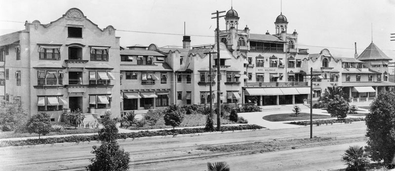 |
|
| (1906)* - View of the Hollywood Hotel just after it was enlarged to cover the entire block. The original building can be seen on the right. |
Historical Notes In 1906 the heiress Almira Hershey, who was then living in a mansion on Bunker Hill in Downtown Los Angeles, took a horse and buggy ride to see the hotel that was being advertised in the Los Angeles Times. She was so impressed with the Hollywood Hotel she decided to buy it. She hired Margaret J. Anderson who had worked for her at the Darby and the Fremont Hotels, which Hershey owned, as the manager. Under Anderson's management, the hotel expanded to 250 rooms and became well known in the area, but the two women had a contentious relationship and Anderson left to move to the Beverly Hills Hotel in 1912.^ |
.jpg) |
|
| (ca. 1907)#** - View looking north from the field behind Hollywood High School. The Hollywood Hotel is seen on the north side of Prospect Avenue (Hollywood Boulevard). In the far background are the Hollywood Hills. |
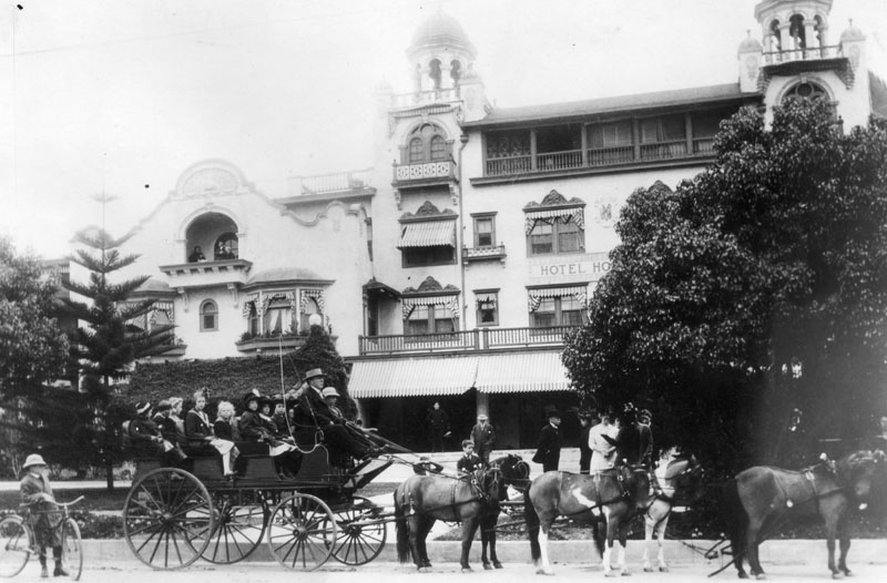 |
|
| (ca. 1910)* - Carriage drawn by six horses in front of the Hollywood Hotel. Thie is the year Prospect Avenue would become Hollywood Boulevard. |
Historical Notes Hollywood Boulevard was named Prospect Avenue from 1887 until 1910, when the town of Hollywood was annexed by the City of Los Angeles. After annexation, the street numbers changed from 100 Prospect Avenue, at Vermont Avenue, to 6400 Hollywood Boulevard.^ |
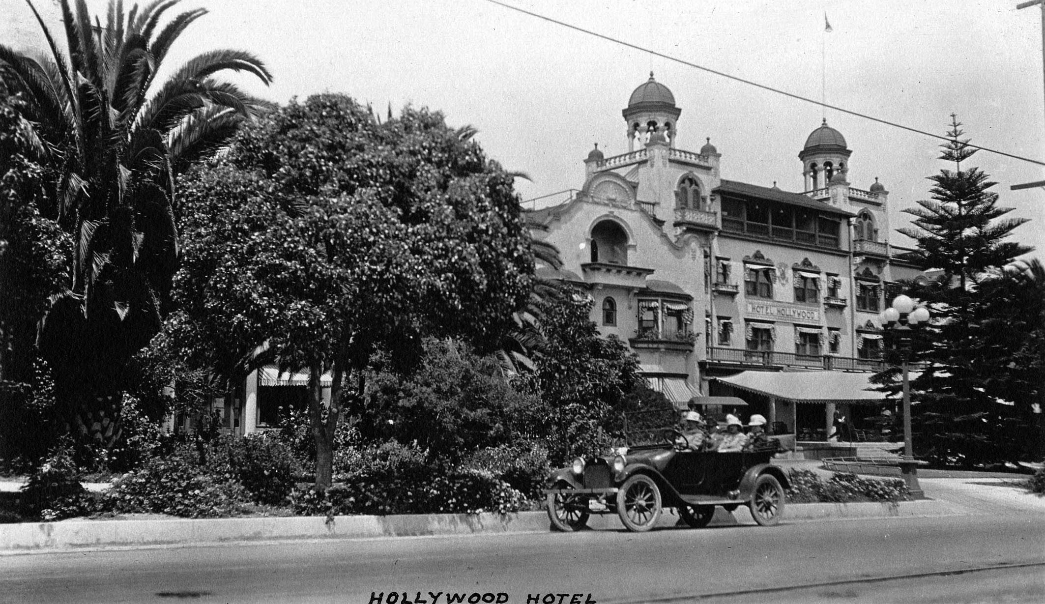 |
|
| (ca. 1915)^*# - View looking northeast showing a car full of people parked by the curb in front of the Hollywood Hotel. |
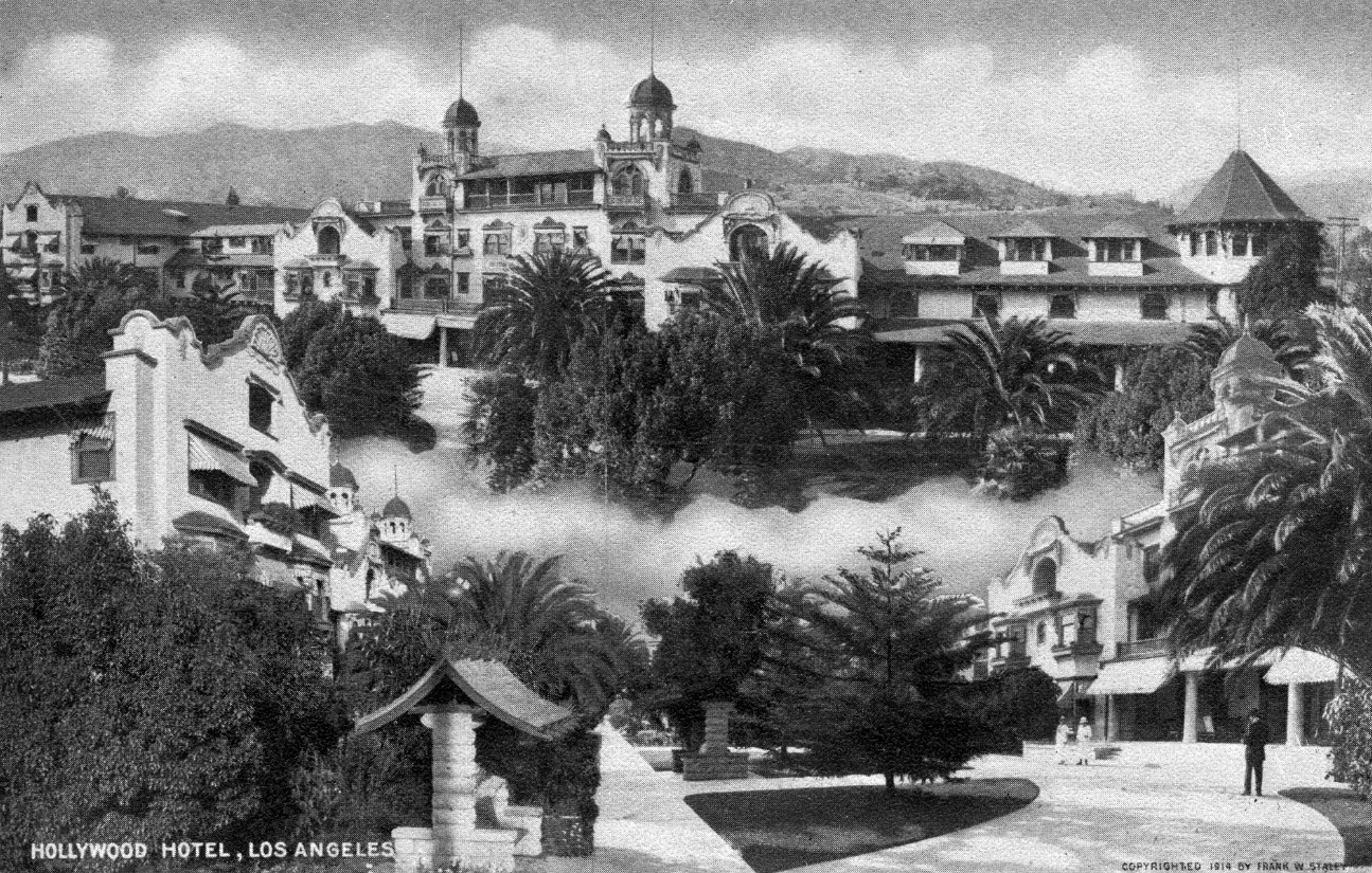 |
|
| (1914)^.^ - Composite postcard of the Hotel Hollywood at Hollywood & Highland, 1914. Creator Frank W. Staley |
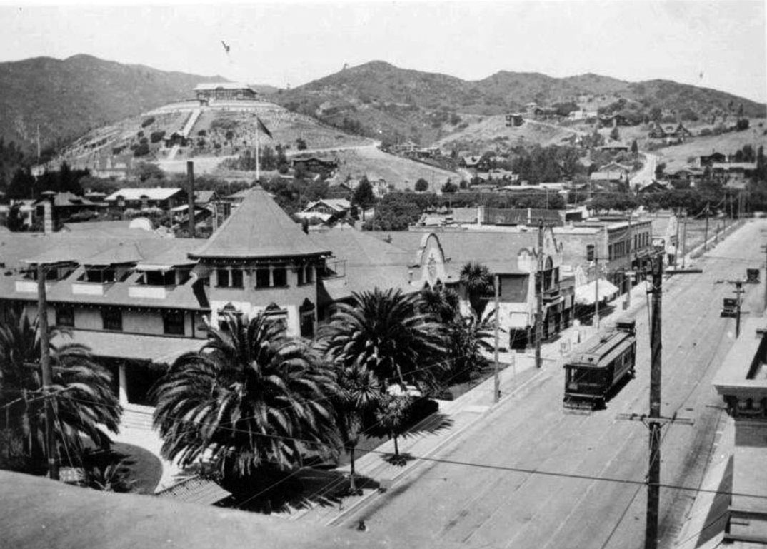 |
|
| (ca. 1915)##^* - View showing a streetcar heading south on Highland Avenue in front of the Hollywood Hotel. In the background high on a hill sits the impressive Japanese Palace of brothers Charles and Adolph Bernheimer. |
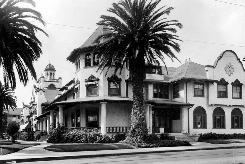 |
|
| (ca. 1920s)* - Corner view of the famous Hollywood Hotel, located on the north side of Hollywood Blvd, between Highland and Orchid Avenues. It shows a white, 2-story Spanish style structure with numerous windows throughout, a wrap-around porch, neatly manicured lawns, and several tall palms. A cupola can be seen peeking up from behind the arched façade on the left of the building. |
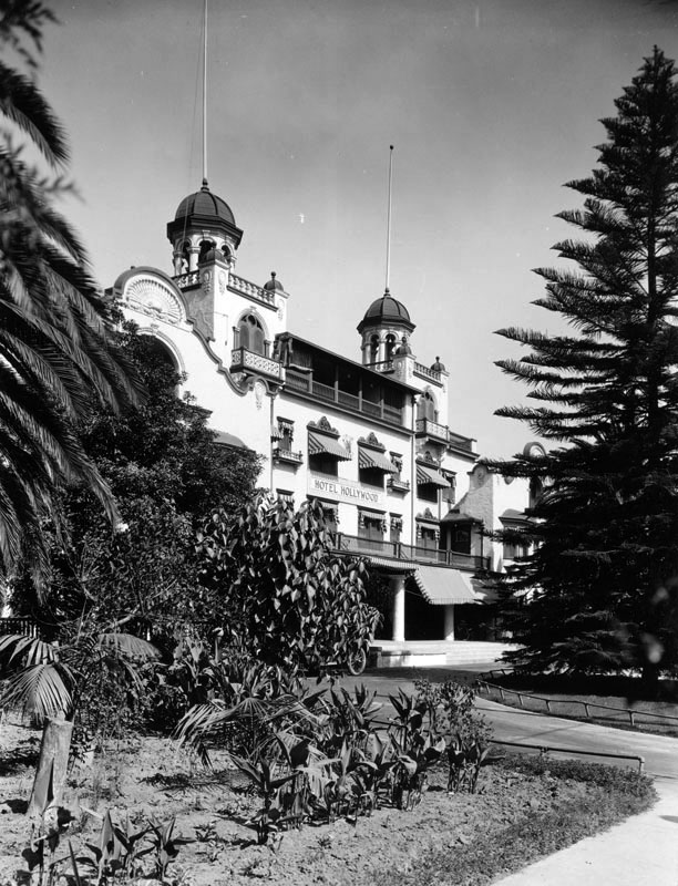 |
|
| (ca. 1920)^*# - View of the Hollywood Hotel circa 1920. Note how much the trees have grown over the last decade (see previous photo). |
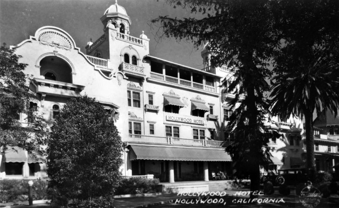 |
|
| (1930s)#^^ – Postcard view of the Hollywood Hotel with early model car parked in front. |
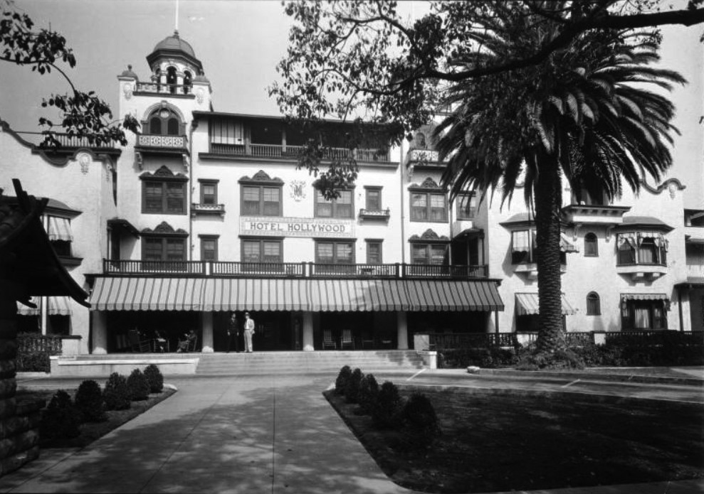 |
|
| (ca. 1930s)^^ – Street level view looking at the front entrance of the Hollywood Hotel. The four-story hotel has a striped awning on the bottom floor, while a tower can be seen at left rising above the fourth floor. Several large windows with decorative wooden frames can be seen on the facade, along with a sign that bears the name of the hotel. Two men can be seen standing outside the hotel near the top of stairs leading down to a circular driveway. |
 |
|
| (1936)^***^ – Night view looking west through the foliage of the Hollywood Hotel. Two cars are parked on the circular driveway in front of the hotel with the bright lights of the neighboring Grauman's Chinese Theatre seen in the distance. |
.jpg) |
|
| (1936)^***^ - Night view looking northeast showing the entryway to the Hollywood Hotel with cars parked in the circular driveway. |
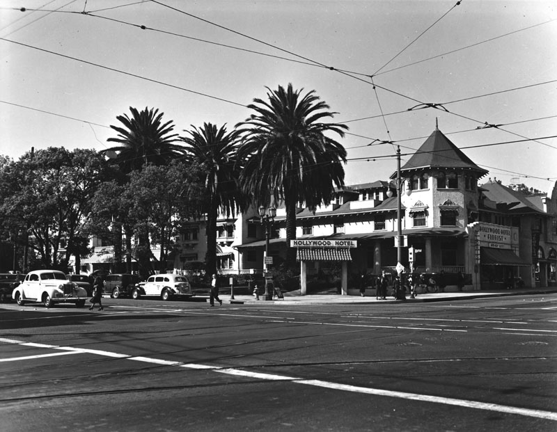 |
|
| (ca. 1937)* - The Hollywood Hotel, located on the northwest corner of Hollywood Boulevard and Highland Avenue. |
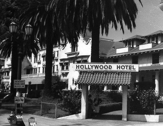 |
|
| (ca. 1937)^***^ – Close-up view showing two women standing under the archway in front of the Hollywood Hotel near the NW corner of Hollywood and Highland. |
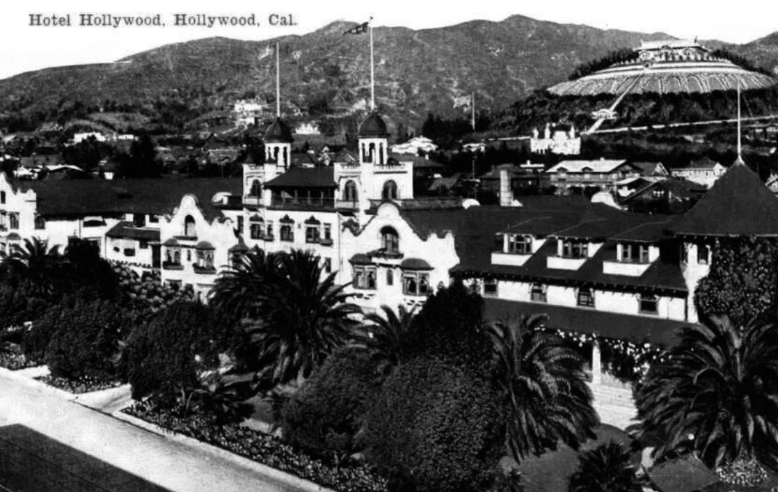 |
|
| (1940)##^* – Postcard view showing the Hotel Hollywood fronting Hollywood Boulevard. The hilltop Japanese estate and gardens of brothers Charles and Adolph Bernheimer can be seen in the upper right corner. |
Historical Notes After WWII, the Bernheimer home was remodeled and converted into apartments. Soon thereafter, Thomas O. Glover purchased the property and began the restoration of what was to become the Yamashiro restaurant.* |
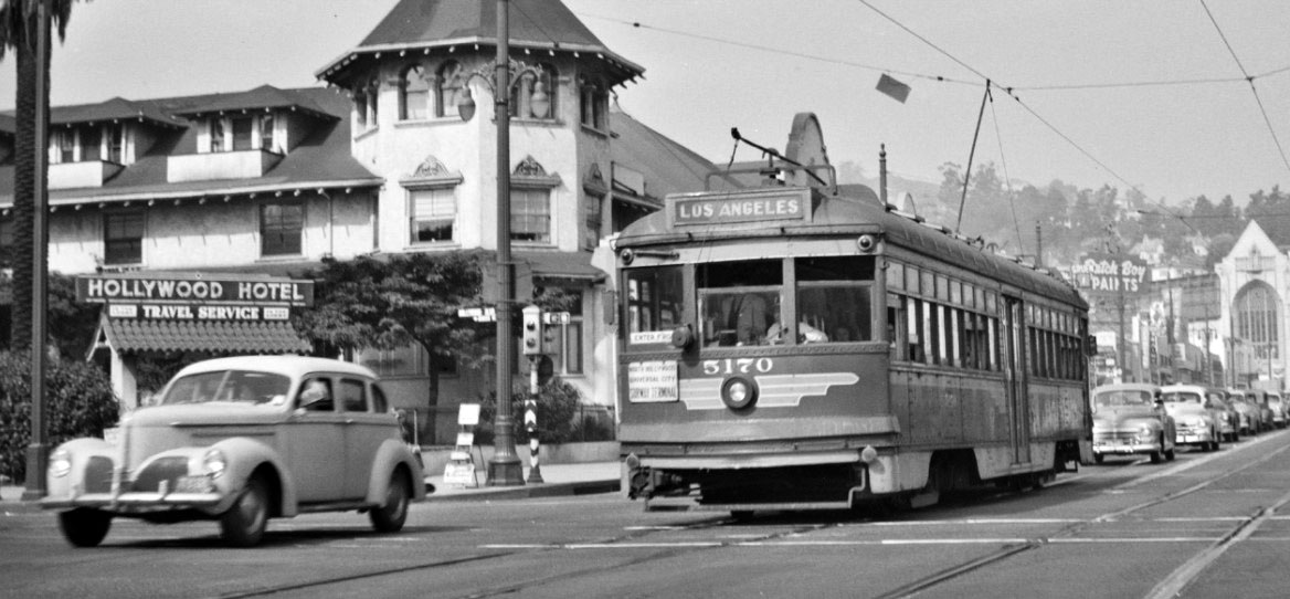 |
|
| (1940s)##** – View looking north on Highland Avenue at Hollywood Boulevard showing P.E. No. 5170 heading south. The Hollywood Hotel is seen on the northwest corner. |
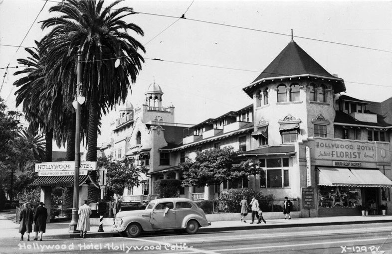 |
|
| (1940s)^*# - Postcard view of the Hollywood Hotel on the northwest corner of Hollywood and Highland. The hotel’s florist shop fronts Highland and can be seen in the lower right. |
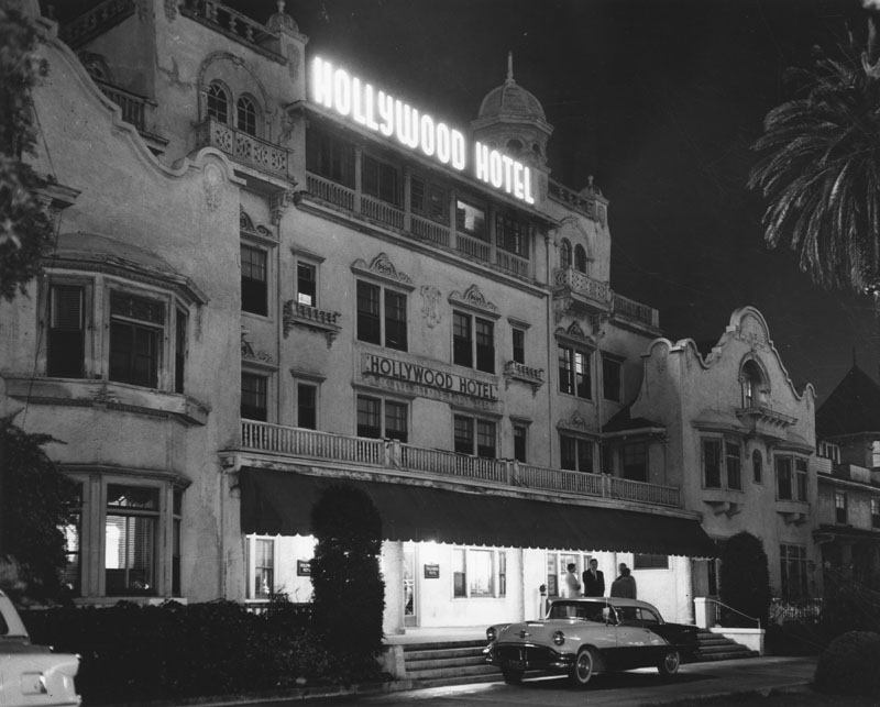 |
|
| (1956)* - Night view of the Hollywood Hotel which was razed shortly after this photo was taken. |
Historical Notes Though the Hollywood Hotel housed many of the great stars in its day, it was razed in August 1956 to make way for a $10 million development, with a twelve story office building (First Federal Savings and Loan Building), a shopping center and parking lots.^ |
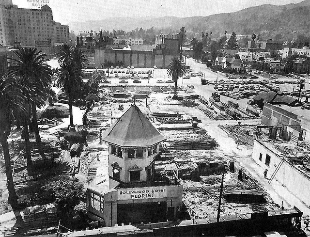 |
|
| (1956)^#^* – View showing the demolition of the Hollywood Hotel, N/W corner of Highland and Hollywood, with only its florist shop left standing. Both the Chinese Theatre and the Roosevelt Hotel are seen in the background. |
Historical Notes In 2001, the Hollywood and Highland entertainment complex, which includes the Hollywood and Highland Center, the current home of the Academy Awards, was constructed on the site. |
* * * * * |
Paul de Longpré Residence
.jpg) |
|
| (ca. 1905)* - Exterior view of the Mission Revival/Islamic style Hollywood residence once owned by artist Paul de Longpré. The home was located on the west side of Cahuenga Blvd. at Hollywood Blvd. |
Historical Notes Perhaps the most famous Hollywood transplant of the time was Paul de Longpre, a French horticultural painter who arrived in Los Angeles with his family in 1889. After de Longpre discovered his ideal flowers growing in Hollywood, he met Daeida Wilcox, who was so anxious to attract culture that she gave him her homesite, three lots on Cahuenga just north of Prospect (later Hollywood Blvd.), for his estate. The mansion and gardens Paul de Longpre built not only drew Hollywood society but served as a lure for new property buyers and tourists. So many visitors came to see “Le Roi des Fleurs” that the P.E. Railway added a trolley spur on Ivar Avenue to deposit them closer to the estate. |
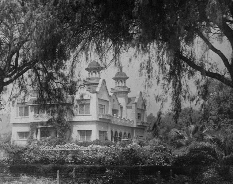 |
|
| (1907)* - Exterior view of the Hollywood residence and gardens owned by artist Paul de Longpré. The home was located on the west side of Cahuenga Blvd. at Hollywood Blvd. on property he obtained from Mrs. Wilcox Beveridge after he moved to Los Angeles in 1889. The French born artist desired the 65-foot-deep lots for a large flower garden. |
Historical Notes Tours of the house and gardens, along with prints of his floral paintings, supported the de Longpre family until the artist’s death in 1911. After his family returned to France, the house and gardens were demolished for their valuable real estate, and de Longpre’s paintings–romantic still-lifes of roses, orchids and the like–fell permanently out of fashion. |
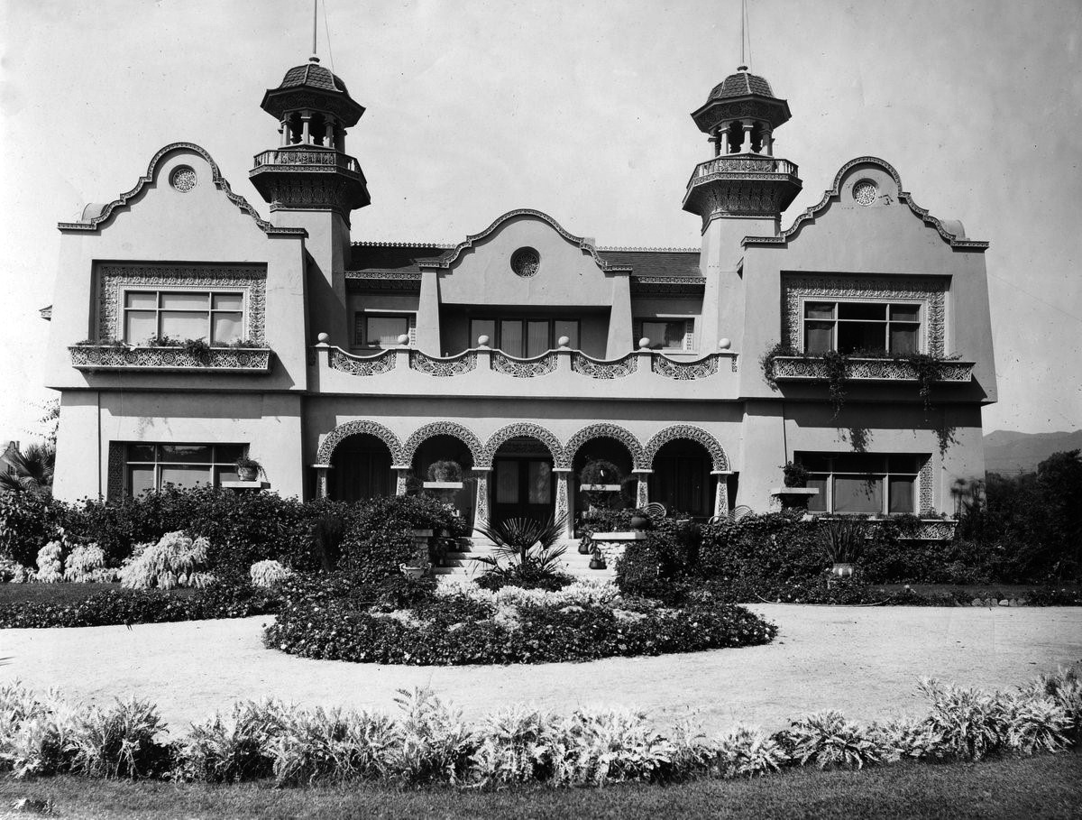 |
|
| (Early 1900s)* - Frontal view of the Mission Revival/Islamic style Hollywood residence and gardens owned by artist Paul de Longpré. |
Historical Notes The home was located on the west side of Cahuenga Blvd. at Hollywood Blvd. on property Longpré obtained from Mrs. Wilcox Beveridge after he moved to Los Angeles in 1889. The residence was a popular tourist destination for several years and was demolished in 1927. |
* * * * * |
Arthur Letts Residence (Hollywood)
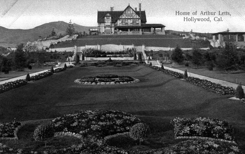 |
|
| (ca. 1905)* - Postcard view of the Tudor Revival Hollywood home and gardens of merchandiser Arthur Letts, located at 4931 Franklin Avenue, Hollywood. The residence was also known as the Holmby Mansion, the name loosely derived from Letts' hometown of Holdenby, England. |
Historical Notes Arthur Letts, Sr. was born in England. In 1882 he emigrated to Toronto, Canada, and found employment in a large dry goods store. When the Red River Rebellion broke out in the Northwest of Canada, he volunteered. He was awarded a silver medal and clasp for distinguished service, and a grant of land by the Canadian government. In the early 1890s he emigrated to the United States in Seattle, Washington and began retail employment in dry goods. Having little success, he then headed for L.A. in 1895. At the corner of Fourth and Broadway, then on the far southern edge of the downtown Los Angeles business district, the J. A. Williams & Co. Dry Goods Store had gone bankrupt. With the help of an influential friend, who was impressed with Letts’ knowledge of that type of business, a loan of $5000 was secured from the Los Angeles National Bank, and opened his business on February 24, 1896. He named the department store The Broadway.^* |
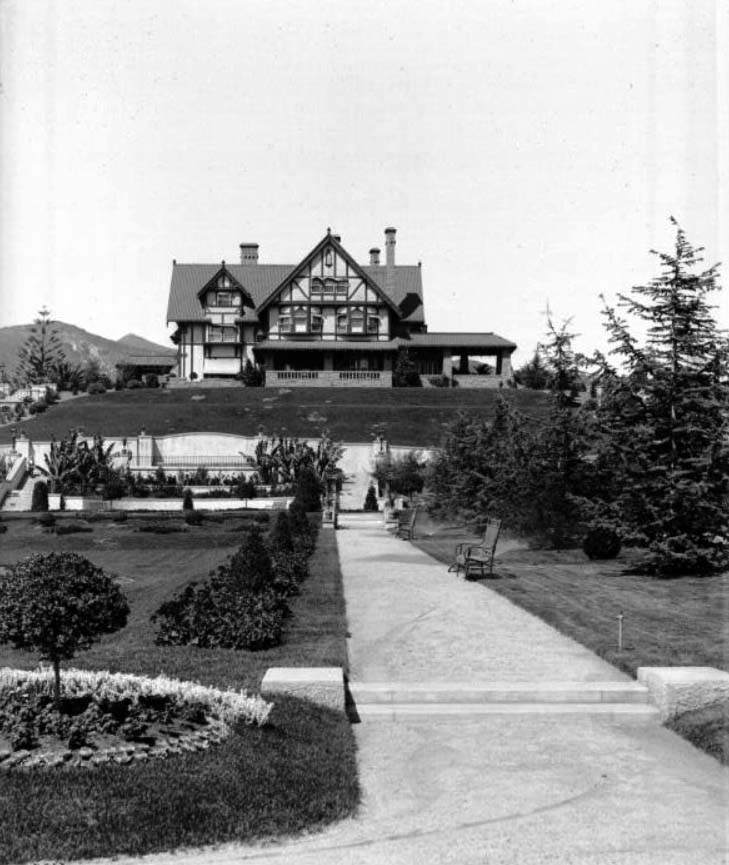 |
|
| (ca. 1905)^ – View showing the three-story Letts residence. The house is situated on a hill and features dormer windows, cant windows, stone masonry walls, a covered porch, several chimneys and window awnings. An immaculate courtyard adorned with well-manicured lawns and gardens precedes the house. |
Historical Notes Arthur Letts knew real estate was great for investment in fast-growing Los Angeles. And with his significant access to capital, it was just a matter of time before he made one of his most significant purchases. In 1919 heirs to the Wolfskill Ranch (Rancho San Jose de Buenos Aires) were ready to sell, but they wanted cash. The former ranch consisted of over 3,200 acres, with an approximate border of Pico Blvd. on the south, L.A. Country Club on the east, Sunset Blvd. on the north, and I-405 on the west. Purchased for $2 Million, Arthur turned over development to his son-in-law Harold Janss' company, Janss Investment Co. The area south of Wilshire contained land reserved for movie studios. The townsite of Westwood was laid out, which by 1927 contained 4,000 people.^#^# He later also developed the westside residential community of Holmby Hills, loosely derived from the name of his birthplace, a small village in England called Holdenby.^* Click HERE to see more in early views of UCLA and Westwood. |
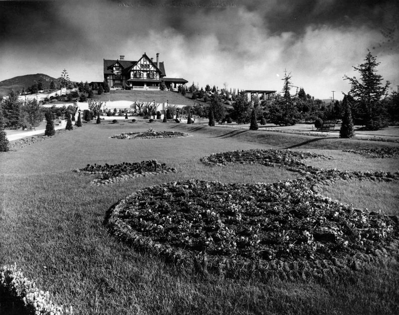 |
|
| (ca. 1905)* - Exterior view of the Tudor Revival Hollywood home and gardens of the Broadway Department Store founder Arthur Letts. |
Historical Notes Arthur Letts was also the 'behind the scenes' financial founder and owner of Bullock's Department Store, and put John Bullock from his The Broadway to direct this store. After Letts' death, Bullock and a group of investors purchased the store from the estate.^* |
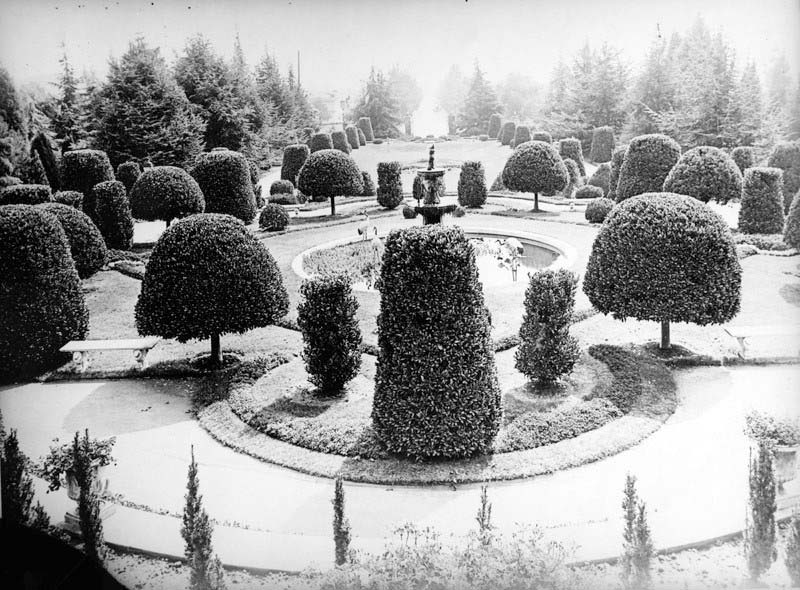 |
|
| (Early 1900s)* - A fountain in the garden of Arthur Letts' home, located at 4931 Franklin Avenue, Hollywood, in which crane statues are seen. The shrubs and trees are carefully manicured and set in a balanced design. |
Historical Notes The grounds of Los Feliz district, Hollywood estate Holmby House were formally laid out with wide variety of trees, shrubs, and flowers, and Letts’ cactus collection was known across the country. It was bound by Franklin Avenue, Vermont Avenue, Los Feliz Boulevard, and Laughlin Park. The gardens were open to the public for tours, with the Pacific Electric Railway stopping at it. It was his wish that the gardens be continued even after his death. Upon his death in May 1923, his wife, at the suggestion of son-in-law Harold Janss of Janss Investment Company (who lived at the back of the property), demolished the gardens and mansion in 1927 to subdivide and develop the land, and moved to a new residence in Holmby Hills. Henry E. Huntington purchased many of the rare specimen cacti for his Huntington Desert Garden at his estate and Huntington Library in San Marino.^* |
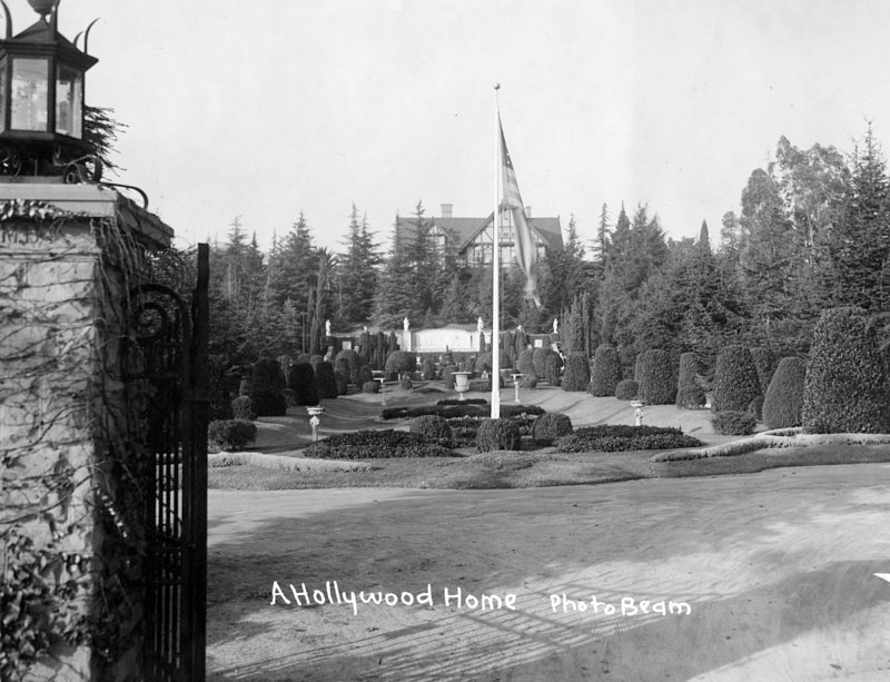 |
|
| (Early 1900s)* - View through the front entrance gates of the Tudor Revival Hollywood home and gardens of merchandiser and philanthropist Arthur Letts, located at 4931 Franklin Avenue. He was the founder of The Broadway Department Store and other ventures and later developed the westside residential community of Holmby Hills. |
Historical Notes In 1909, the estate was a stop on the Points of Interest for Hollywood tour, which also included Paul De Longpre's residence about a mile away. The Herald write-up in their Sunday magazine read: Arthur Letts' Mansion and Grounds - Immense country place. Large sunken gardens. A full acre of every known variety of cacti. Flowers in profusion. The largest coca plumosa drive in Southern California. Grounds open to visitors Thursdays.^#^# |
* * * * * |
Hollywood High School
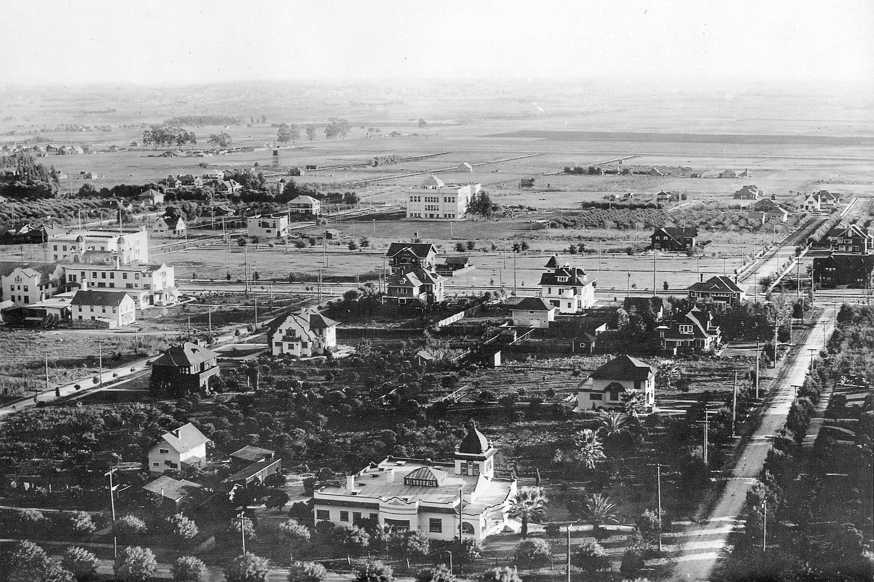 |
|
| (1906)* - View of Hollywood, looking south, showing Hollywood High School (at center), 1906, one year after it opened. Orchid Avenue is on the left while Orange Drive runs south, dog-legs at Hollywood, and then continues south again. Note the vast open land south of the school. |
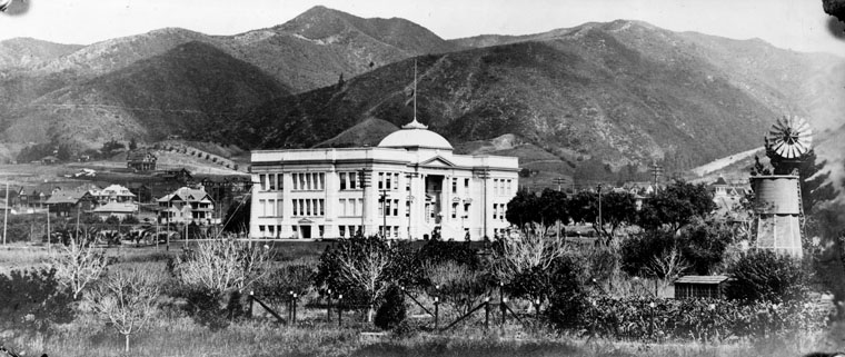 |
|
| (ca. 1905)* - Original building of Hollywood High School designed by Burnham and Bliesner in the "Ionic architecture" style. With two stories and a basement, it accommodated 400 students. |
Historical Notes In September 1903, a two-room school was opened on the second floor of an empty storeroom at the Masonic Temple on Highland Avenue, north of Hollywood Boulevard (then Prospect Avenue). Hollywood was incorporated as a municipality in November 1903.*^ The original school building (above) opened in 1905 and consisted of the consolidated school districts of Hollywood City, Laurel, Coldwater, Lankershim, Los Feliz, Cahuenga, and The Pass. In 1910, Los Angeles and Hollywood consolidated and the high school was turned over to the L.A. Board of Education.* |
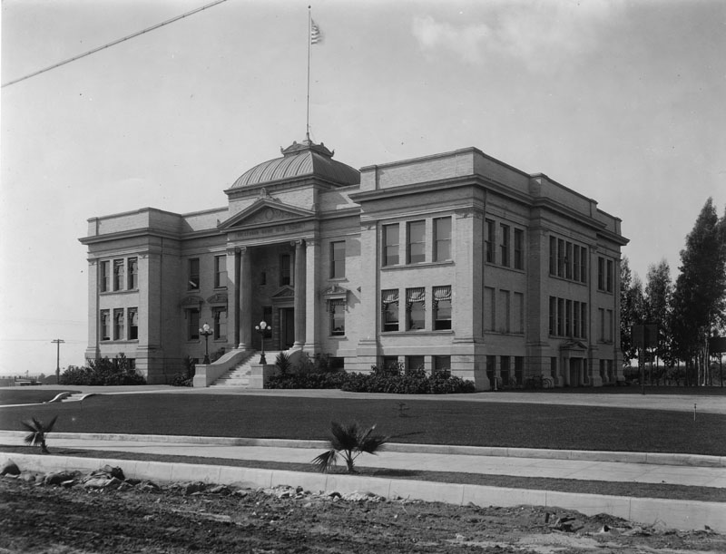 |
|
| (ca. 1905)* - Hollywood High School as seen from Highland Avenue (still a dirt road) shortly after the school was built in 1905. |
Historical Notes Hollywood High School was built on Sunset and Highland Avenue in 1905. In 1910, the school had its name changed to Hollywood Union High School. In 1924, the school changed its name again to Union High School. In 1940, the school had its name changed back to Hollywood High School and it was used for housing and feeding WWII soldiers.^ |
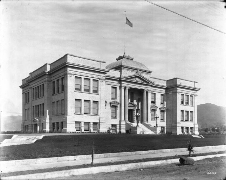 |
|
| (ca. 1905)^ - Exterior view Hollywood High School looking northwest, with the Hollywood Hills in the background. The three-story building has a tall portico supported by proto-ionic columns where inside is smaller portico supported by two Doric order columns. Both porticos have decorated pediments. "Hollywood Union High School" is displayed below the pediment of the large portico. The façade of the building is symmetric. Two lampposts flank the stairs leading to the front entrance. A flagpole stands on top of the dome-like roof above the porticos in the center of the building. The lawn around the building is well manicured. Newly planted palm trees line the dirt portion of the sidewalk. Rocks and a large boulder lay on the dirt road in the foreground. |
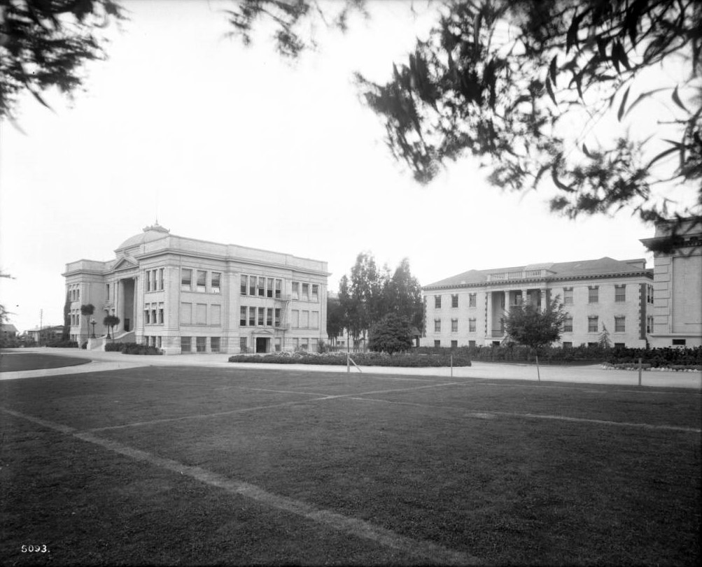 |
|
| (1916)^ - View of the campus of Hollywood High School, located north of Sunset and West of Highland Avenue. Overlooking a well-groomed courtyard are two clearly visible buildings. The left building is the original school building built in 1905. It has embossed letters that reads "Hollywood Union High School" directly above its portico. A flight of stairs leads up to the portico. On the side of the building, there is a fire escape ladder near the side entrance. Two bicycles are leaned up against the wall near the side entrance. The right building has embossed letters above its portico, which reads "Household and Fine Arts”. |
Historical Notes The Hollywood High School campus was established on its current site in 1904. The original Administration / Classroom Building was completed in 1905, and the first major campus expansion campaign concluded in 1913.*^#^ |
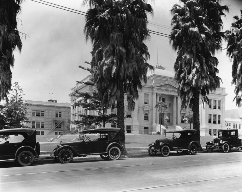 |
|
| (1920)* - A view of Hollywood High School campus, or quadrangle, looking northwest from Highland Ave. Cars are parked in front of fan palms that need to be trimmed. Yucca trees grow by the stairs leading to the entrance of the original 1905 building. "Hollywood Union High School" is chiseled over the |
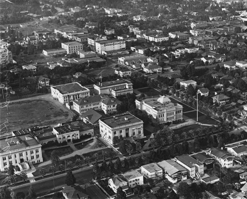 |
|
| (1922)* - An aerial view of Hollywood High School from the southwest. There is practice of some kind on the athletic field. Palm trees line the campus on Sunset and Highland. The original 1905 building is on the bottom right. The Household & Fine Arts building is in the middle of the quadrangle and the gymnasium is to its left when facing Highland. |
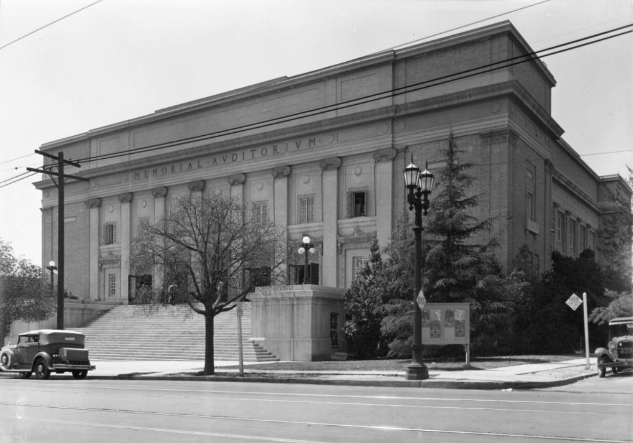 |
|
| (ca. 1929)^^ - View of the Hollywood High School Memorial Auditorium located on the southwest corner of Highland and Hawthorn avenues. A long stretch of stairs can be seen in front of the auditorium, leading up to five front entrances separated by eight Romanesque columns. Seven windows can be seen above the five front entrances. The words, "Memorial Auditorium" can be seen above the windows, at the top of the building, engraved in capital letters. |
Historical Notes The Auditorium was originally constructed in 1924. It was formally dedicated at commencement exercises on June 25, 1924 and named the Memorial Auditorium to honor the Hollywood High School graduates who died in World War I. The Auditorium is the second of only two buildings on campus that survived the Long Beach Earthquake of 1933. The original building was a Beaux Arts design that included a flat roof, masonry walls, and a symmetrical façade.*^#^ |
 |
|
| (2010)^#*^ - The Hollywood High School mural, painted by Eloy Torrez. |
Historical Notes In 1956 the original Beaux Arts façade was altered to be Mid-Century Modern in style. The façade was refinished in concrete and gunnite. In 2002 artist Elroy Torrez painted the mural "Portrait of Hollywood" on the east-facing (primary) façade that features prominent graduates throughout Hollywood High School’s history. In 2008, to commemorate the 2003 death of John Ritter, a fifty-foot portrait of the actor was added to the mural on the north façade.*^#^ Click HERE to see the complete list of Notable Alumni.^* |
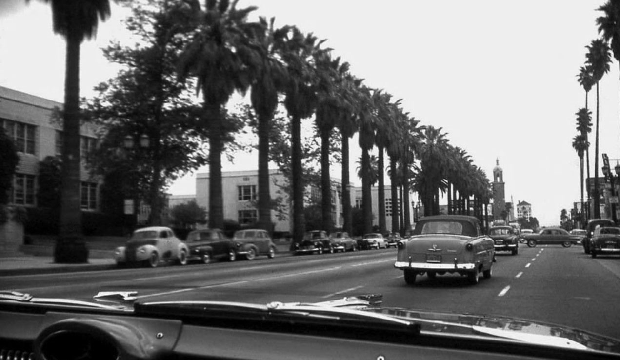 |
|
| (1956)*##^ – Dashboard view looking east on Sunset Boulevard toward Highland Avenue with Hollywood High School at left. It appears we’re riding in a new Oldsmobile (‘56 or ‘57). |
Then and Now
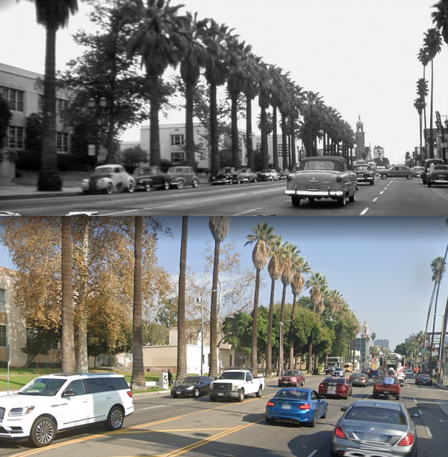 |
|
| Then and Now – Looking East on Sunset Boulevard toward Highland Avenue (1956 vs 2021) |
 |
|
| (1941)* - Early model cars parked in front of Hollywood High School on Sunset Boulevard. |
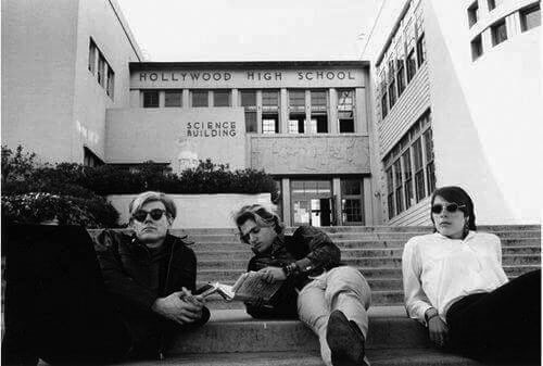 |
|
| (1966)* - View showing Andy Warhol and two friends on steps of Hollywood High School. |
* * * * * |
Immaculate Heart College
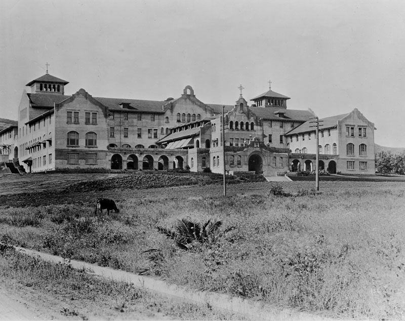 |
|
| (ca. 1905)* - Exterior view of the original Moorish/Mission Revival style building on the campus of Immaculate Heart College, located at 5515 Franklin Avenue in Hollywood. A cow can be seen grazing in the field in the foreground. |
Historical Notes In 1903 the Sisters of the Immaculate Heart of Mary purchased fifteen-acres in Hollywood on which to develop a school. Two years later on April 24, 1905 a ground-breaking took place for the first campus building (shown here), which included classrooms for high school and elementary school students, boarding facilities, as well as living quarters for the nuns. |
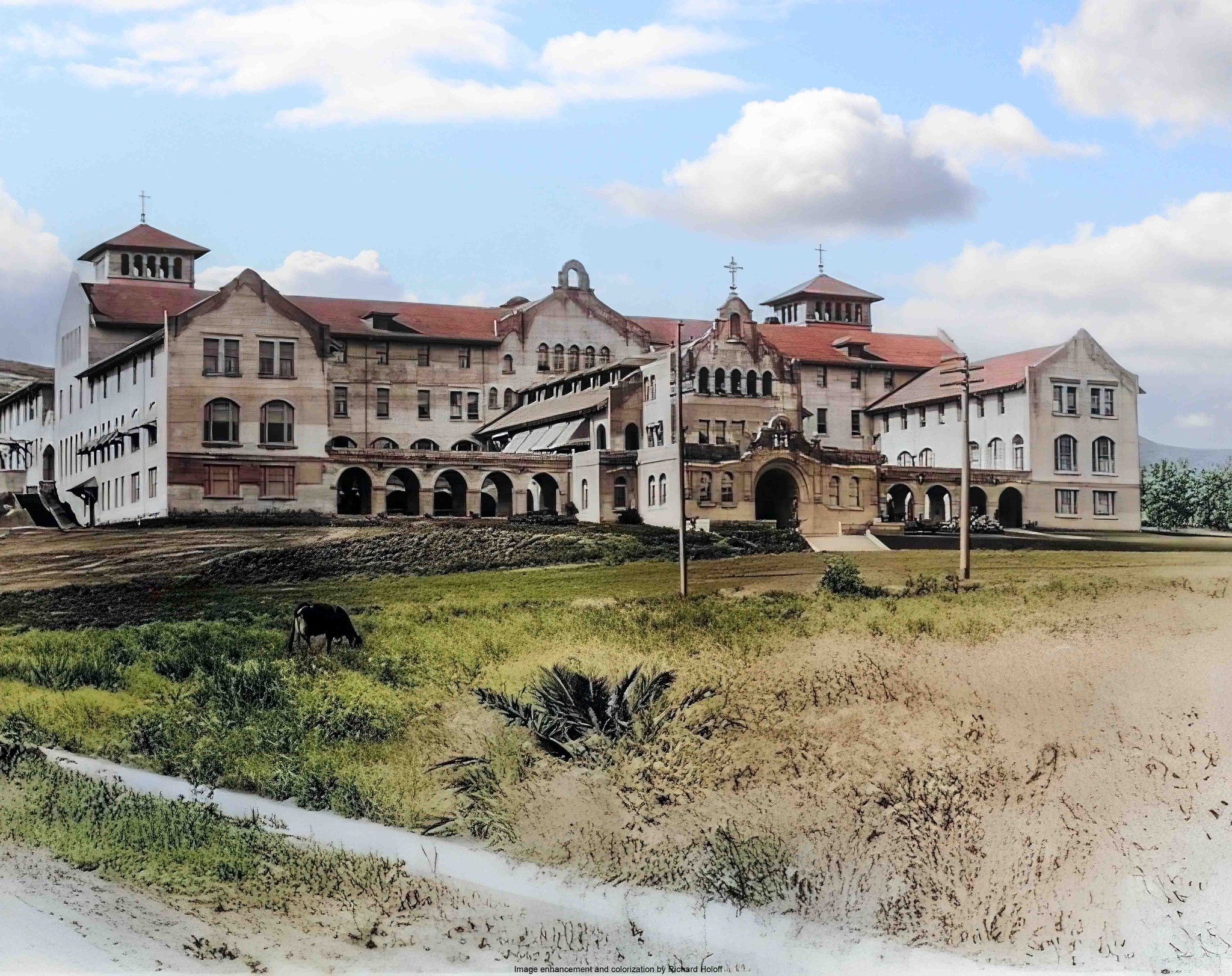 |
|
| (ca. 1905)* - The original Moorish/Mission Revival style building on the campus of Immaculate Heart College, located at 5515 Franklin Avenue in Hollywood. Image enhancement and colorization by Richard Holoff. |
Historical Notes Moorish Revival architecture, or Neo-Moorish, is a style that became popular in Europe and the Americas in the mid-1800s. It takes inspiration from traditional Moorish architecture and Islamic styles, featuring designs that reflect Islamic culture's artistic richness. Key elements include horseshoe arches, detailed tile work with complex geometric patterns, decorated stucco, domes, minarets, and bright colors. This style grew during the Romanticist movement, which admired exotic cultures. By the late 1800s, Neo-Moorish was at its height, giving architects new design options beyond the classical and Gothic styles. |
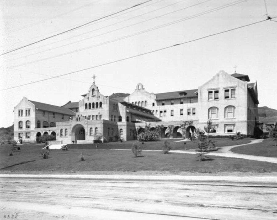 |
|
| (1905)^ - View of the Immaculate Heart College, a Catholic girls school on Franklin Avenue at the head of Western Avenue, showing newly planted trees and lawn. The dirt road in the foreground is lined with streetcar rails. |
Historical Notes The three-story mission-style building features multicurved parapets, arched windows, several arcades, and dormer windows. About a dozen young trees are planted in the well-maintained yard. |
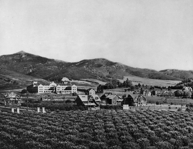 |
|
| (ca. 1907)* - View of the original campus of Immaculate Heart College, located at 5515 Franklin Avenue in Hollywood, as it appears in the early years of Hollywood when there were few homes (foreground) and large open spaces for agriculture, seen throughout this image. |
Historical Notes During this period, Western Avenue changed from a rutted wagon road to a major artery, Los Feliz from a cow path to a boulevard, and the surrounding olive and orange groves yielded first to California bungalows, then to apartment structures and business and industrial complexes. The school was originally called Immaculate Heart College, even though it began as a high school. The College portion opened in the following decade. Click HERE to see more in Early Views of Hollywood (1850 - 1920) |
* * * * * |
Santa Fe Railroad Hospital
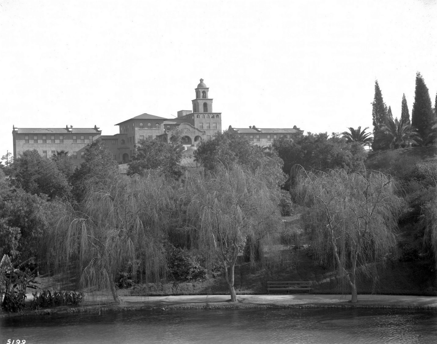 |
|
| (1905)* – View showing the Santa Fe Railroad Hospital, opposite Hollenbeck Park, Boyle Heights. The Moorish-style building has multi-curved parapets, arched windows, semi-circular doorways, and a dome tower. |
Historical Notes The Santa Fe Railroad Hospital was built for railroad employees and was one of four employee hospitals run by the railroad Santa Fe Employees Hospital Association. It opened to great fanfare in 1904 and even had its own Jersey cows, chickens, and a garden to provide patients with the freshest milk, butter, eggs, poultry and vegetables. This original Moorish-style hospital building designed by Charles Whittlesey, known as the Santa Fe Coast Lines Hospital, was razed and rebuilt in 1924 in the current Mission Revival Style structure. In 1989 it was renamed the Linda Vista Community Hospital. |
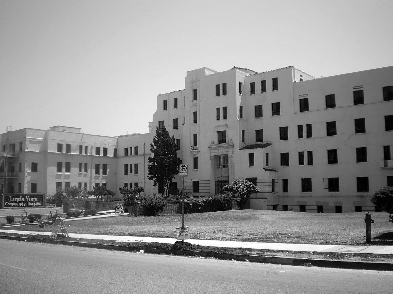 |
|
| (2008)* - Santa Fe Coast Lines Hospital, 610-30 St. Louis Street in Boyle Heights, Los Angeles. |
Historical Notes In 2011, the 4.2-acre Linda Vista Hospital complex was purchased by AMCAL Multi-Housing Inc. The structures, including the main hospital and former nurses dormitory, were renovated into the Linda Vista Senior Apartments and now provide a total of 97 apartments for fixed-income seniors plus a medical facility.^* In 2002, the Santa Fe Coast Lines Hospital was designated LA Historic Cultural Monument No. 713. |
* * * * * |
Powers Residence
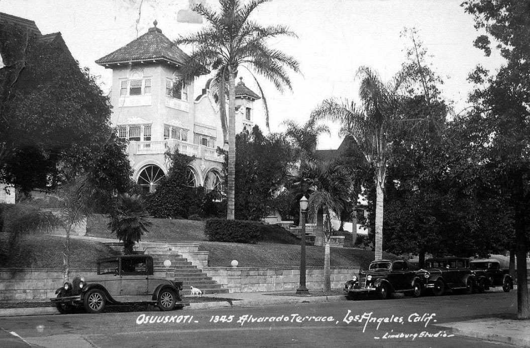 |
|
| (ca. 1936)* – View of the 1903-built Powers Residence located on Alvarado Terrace, south of Pico and east of Hoover. |
Historical Notes The Alvarado Terrace Historic District is within the original Spanish Pueblo of Los Angeles boundaries established in 1781. During the late 19th century, the land was owned by Doria Deighton Jones, the widow of a wholesale grocer. In 1897, the Los Angeles Golf Club (predecessor of the Los Angeles Country Club) leased the land and built a nine-hole golf course that came to be known as "Windmill Links," due to the use of an old windmill as the clubhouse. Jones subdivided the land into residential lots in 1902. The lots were sold for $10 each, with the caveat that the buyer was required to build a house costing at least $4,000. The area was promoted as a "second Chester Place," referring to the city's most prestigious street in the West Adams district. By 1906, the development was full. |
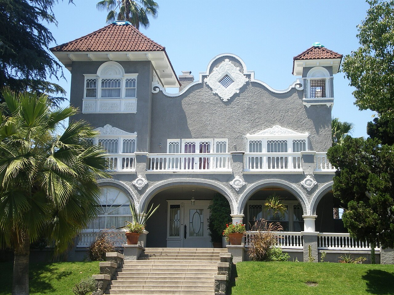 |
|
| (2008)* - View of the Powers House located at 1345 Alvarado Terrace in the Historic Alvarado Terrace District. Photo from Wikipedia Commons. |
Historical Notes The Mission Revival Style home is located in the Alvarado Terrace Historic District, at 1345 Alvarado Terrace. In 1971, it was designated LA Historic Cultural Monument No. 86 (Click HERE to see complete listing). Six homes and a church in the district were designated as Los Angeles Historic-Cultural Monuments in 1971, and the entire district was listed in the National Register of Historic Places in 1984. |
* * * * * |
Simons House (later Ames then Metzler Residence)
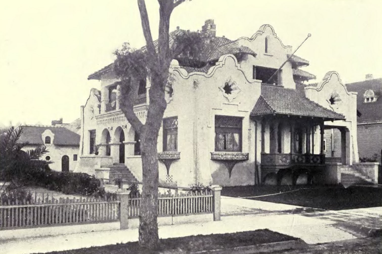 |
|
| (ca. 1905)* - Home of Reuben G. Simons located at 2433 South Flower Street. |
Historical Notes Built in 1901, this Mission Revival-style house was first occupied by Reuben G. Simons, a member of a successful brick-making family. In 1906, Simons sold the house to Wiltcie B. Ames, a Wisconsin-born, self-made lawyer who arrived in Los Angeles in 1905 after studying law at the University of Oregon and living in Spokane and Oregon. One of his early ventures was the Ames Mercantile Agency, which would play a prominent role in his life a few years later. |
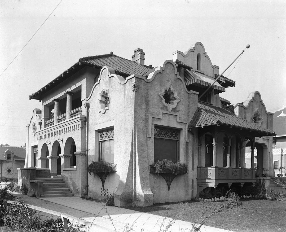 |
|
| (ca. 1908)* - The home of Wiltcie B. Ames, a Mission Revival-style residence at 2433 Flower Street. |
Historical Notes This two-story building features Spanish tiled roofs, multicurved parapets, and an arcade walkway. The corner walls display multicurved parapets, with window wells below holding plants. To the right, an arcade walkway is visible, and at the left, stairs lead up to another arcade walkway with a balcony above. Additional multicurved parapets are visible in the distance, with other homes in the background. In July 1909, Ames arranged a swap sale of the house, selling it to Joseph Metzler of the Metzler Investment Company for $48,000, including the neighboring building—a price that seemed high until reading a few columns over. As it turns out, "W.B. Ames, president of the City and County Bank, has expanded his rural holdings by purchasing a 40-acre alfalfa and apple ranch from Joseph Metzler to add to his investment in a San Dimas fruit farm." |
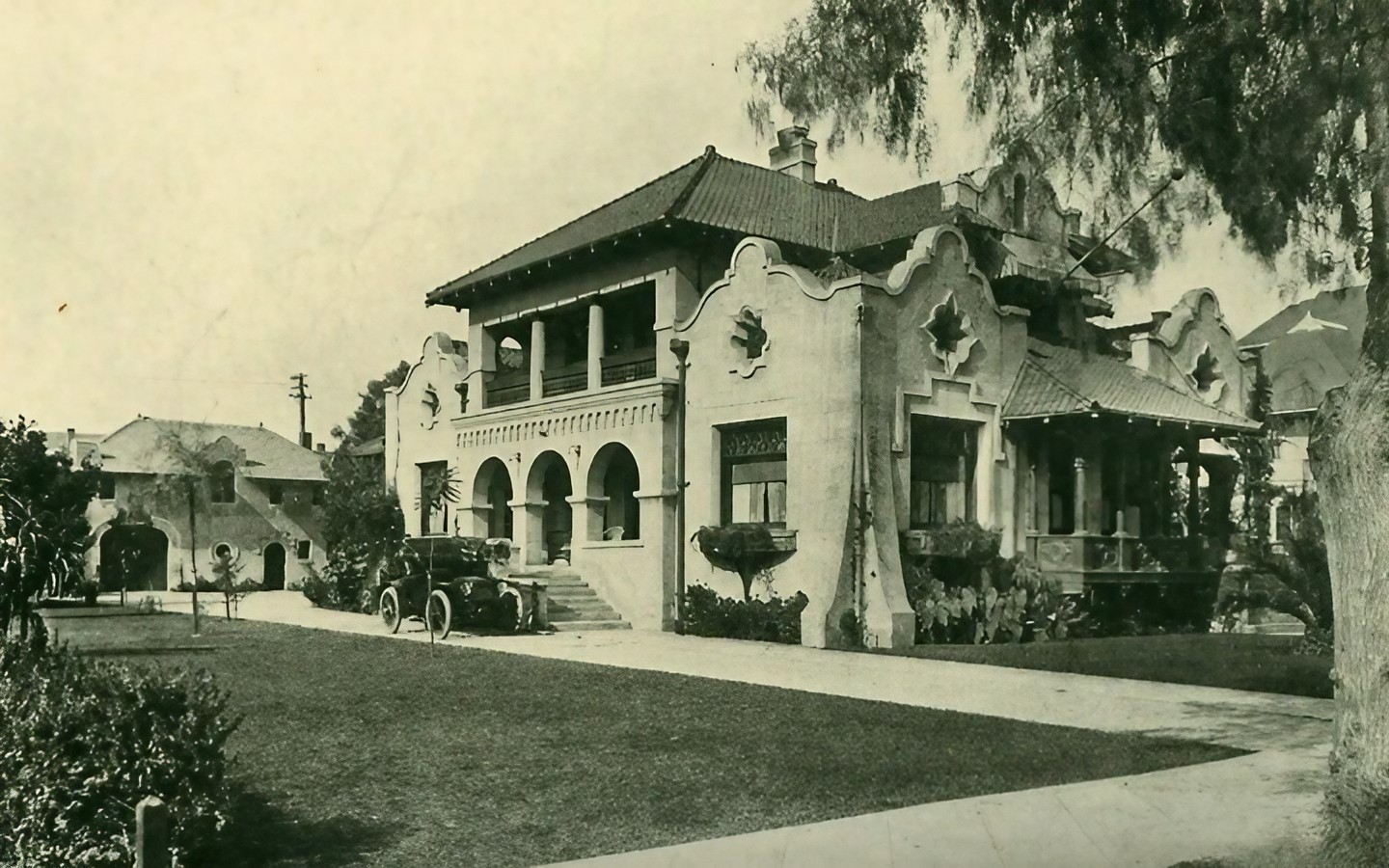 |
|
| (1910)* - A car is parked in front of the Mission Revival-style house at 2433 S. Flower Street located near Adams Boulevard. |
Historical Notes The house was built on an unusually large lot, with additional living in back, as well as two flats out of frame left in the photo above. About ten years after the house was built, the Los Angeles Children's Orthopedic Hospital began expanding along the east side of Flower Street, gradually changing the character of the area. This expansion, along with the construction of the Harbor Freeway, likely contributed to the house's demolition by 1956. |
 |
|
| (2024)* - Google Earth view showing the former location of the Mission Revival-style residence at 2433 S. Flower Street. |
Historical Notes Today, the former site of the 2733 S. Flower residence lies over the Harbor Freeway, just before it passes under Flower Street. |
* * * * * |
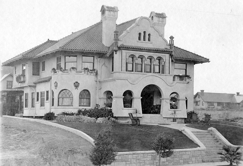 |
|
| (ca. 1905)* - View of a two-story Mission Revival residence at 685 South Vermont Avenue. It later became the I. Magnin store parking lot. |
* * * * * |
Polytechnic High School
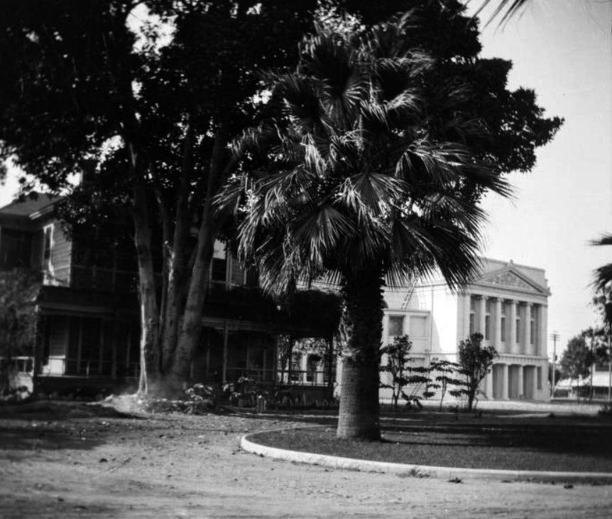 |
|
| (ca. 1905)* - View of a circular road (Bernard Court), with a house at left, and the Greek-revival style Los Angeles Polytechnic High School, at right in distance. |
Historical Notes Polytechnic High School opened in 1897 as a "commercial branch" of the only high school at that time in the city, the Los Angeles High School. As such, Polytechnic is the second oldest high school in the city. The school's original campus was located in downtown Los Angeles on South Beaudry Avenue, the present location of the Los Angeles Unified School District (LAUSD) Board of Education headquarters. |
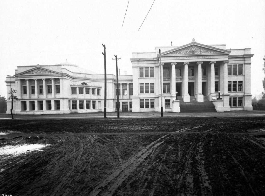 |
|
| (ca. 1905)* – View showing Los Angeles Polytechnic High School on Washington Boulevard. The building is between Hope Street and Flower Street. The principally three-story stone Greek-revival building has a grand portico entrance at the head of a broad set of stairs at right. The words, "Polytechnic High School" are etched into the building above the pillars at the front entrance. |
Historical Notes In 1905, Polytechnic moved to the corner of Washington Boulevard and Flower Street, in downtown Los Angeles. Polytechnic High School was the first school to offer studies in multiple class subjects, which is now modeled by many high schools, as "periods". |
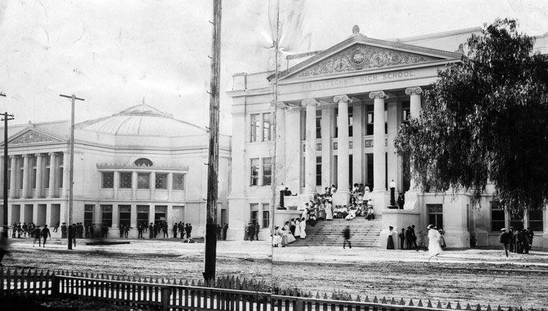 |
|
| (ca. 1905)* - View of Polytechnic High School as seen from across the street. |
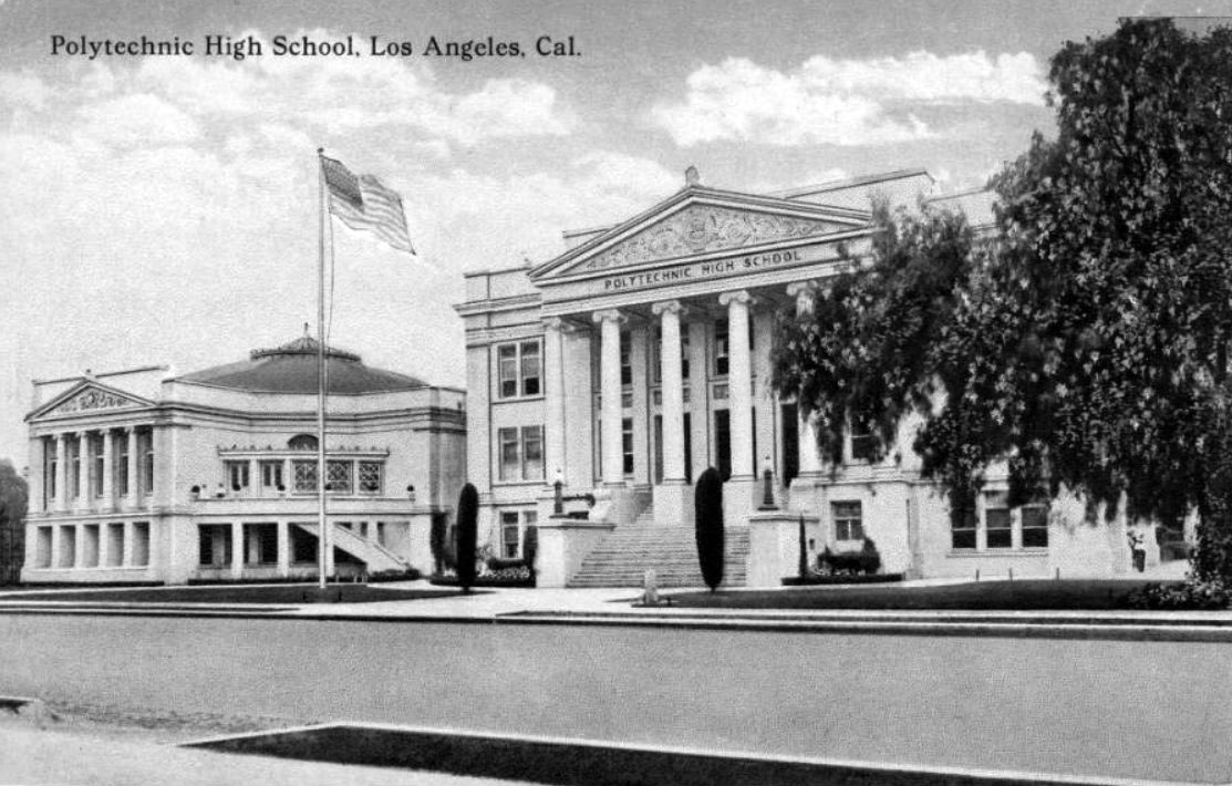 |
|
| (ca. 1930)* – Postcard view of the Neoclassical style campus buildings of Polytechnic High School, located on the corner of Washington Boulevard and Flower Street. |
Historical Notes In 1935, to honor the school's founder and first principal, John H. Francis was added to the school's name. |
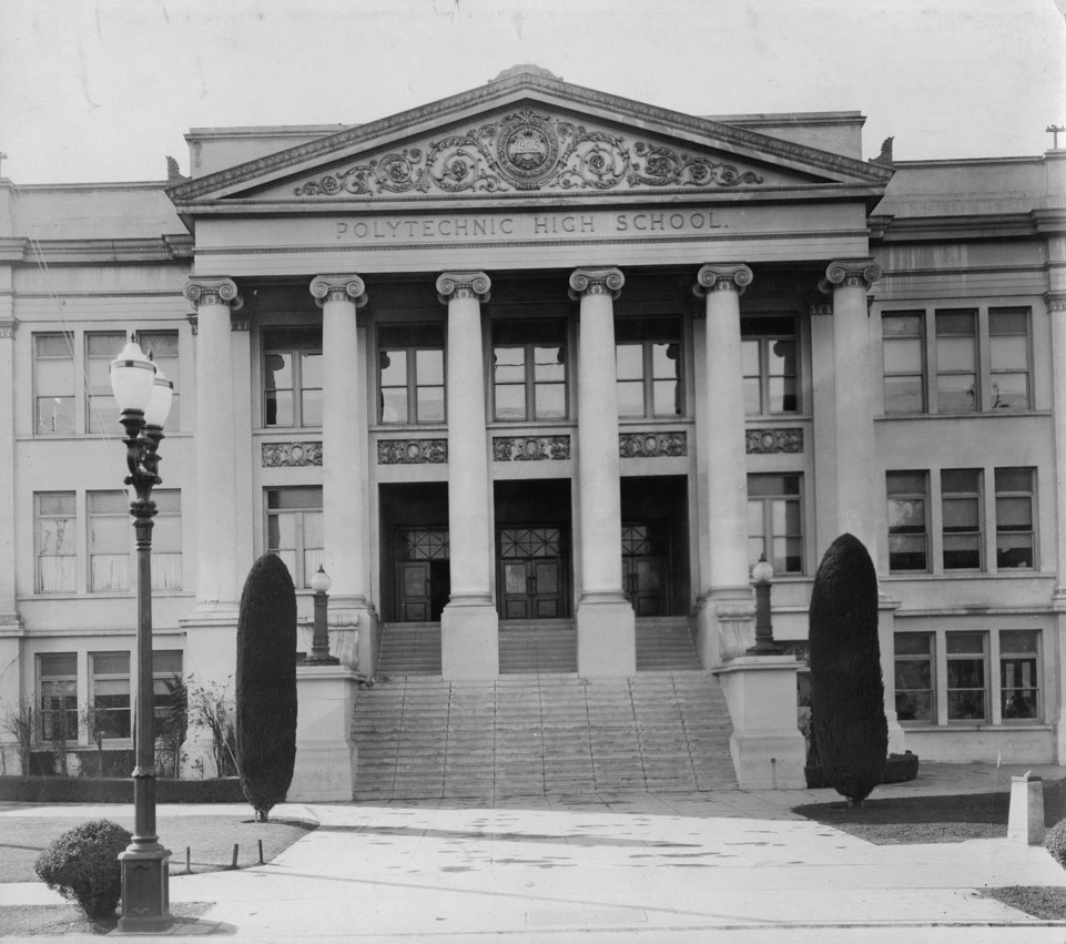 |
|
| (n.d.)^ - Photograph of an exterior view of Polytechnic High School. The three-story Greek-revival building can be seen at center with stairs leading to its front entrance. Pillars are visible in front, along with "Polytechnic High School" etched into the building above the pillars. The year "1905" can be seen in the decorative area above the etching. |
Historical Notes Fifty years after the campus on Washington and Flower was built, it was decided that the high school should be relocated to the San Fernando Valley. In 1957, the new John H. Francis Polytechnic High School campus was built in Sun Valley. Since Poly's relocation, the former site has been the campus of Los Angeles Trade-Technical College. |
* * * * * |
Southwest Building (LA Chamber of Commerce)
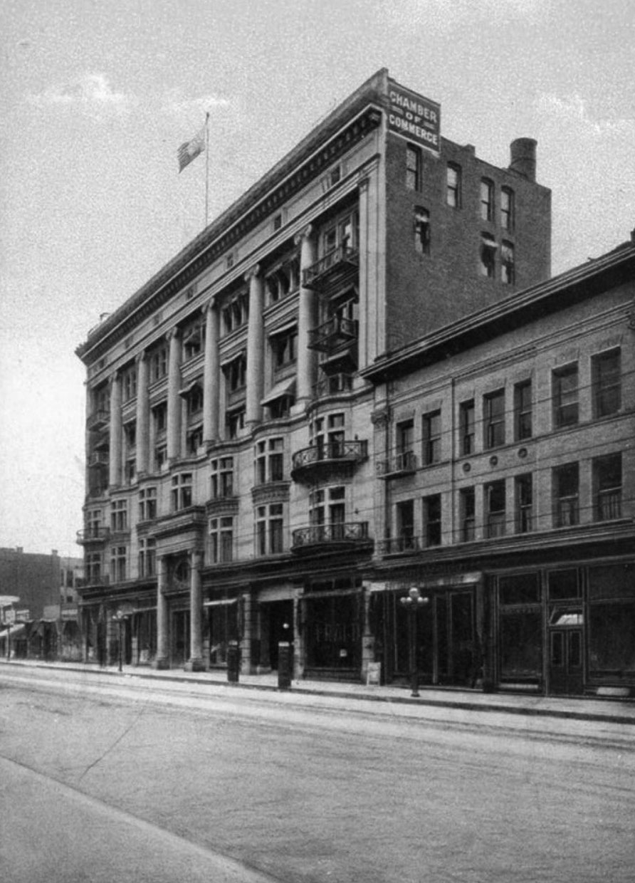 |
|
| (ca. 1903)* – Postcard view showing the Los Angeles Chamber of Commerce, also known as the Southwest Building, located at 130 S. Broadway between 1st and 2nd streets; view is looking north. |
Historical Notes The Los Angeles Chamber of Commerce's first meetings were held in the old board of trade building on First and Broadway, which has since been torn down. In 1890, the Chamber moved into the Mott Building at 131 S. Main Street, where it stayed for four years. In 1894, the organization moved to new quarters at the southeast corner of Broadway and 4th, in a building designed especially for its use, the then-new three-story Mason Building - which would serve as the L.A. Chamber of Commerce for twelve years. In 1903, it moved into the Southwest Building, located at 130 S. Broadway, and stayed there until January 31, 1925. In 1925 it moved to its brand new building at 1151 S. Broadway and 12th Street. It now makes its home at 350 S. Bixel and 6th streets.* |
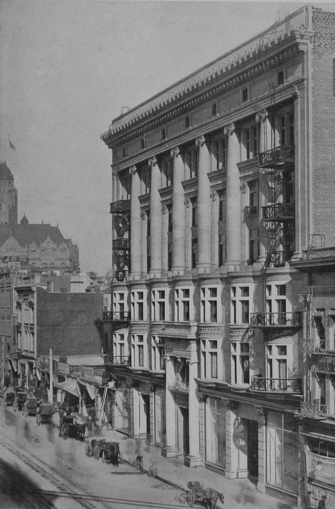 |
|
| (1904)* - The Los Angeles Chamber of Commerce, also known as the Southwest Building, located at 130 S. Broadway. In the distance can be seen the Los Angeles County Courthouse located on the SE corner of Broadway and Temple. Photo Source: Library of Congress |
Historical Notes The Los Angeles Chamber of Commerce, founded in 1888, is Southern California's largest not-for-profit business federation, representing over 1,600 businesses. The Chamber's early focus promoted the region's abundance of opportunities in agriculture and international trade. In 1967, the Chamber changed its name to the Los Angeles Area Chamber of Commerce.* |
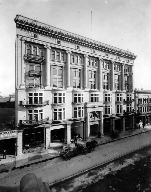 |
|
| (1905)* - The Southwest Building has numerous windows, columns, and balconies as well as ornamental detailing throughout. Parked along the front are several bicycles, as well as a horse-drawn cart. |
Historical Notes The Chamber of Commerce moved here in 1903 and stayed until January 31, 1925. |
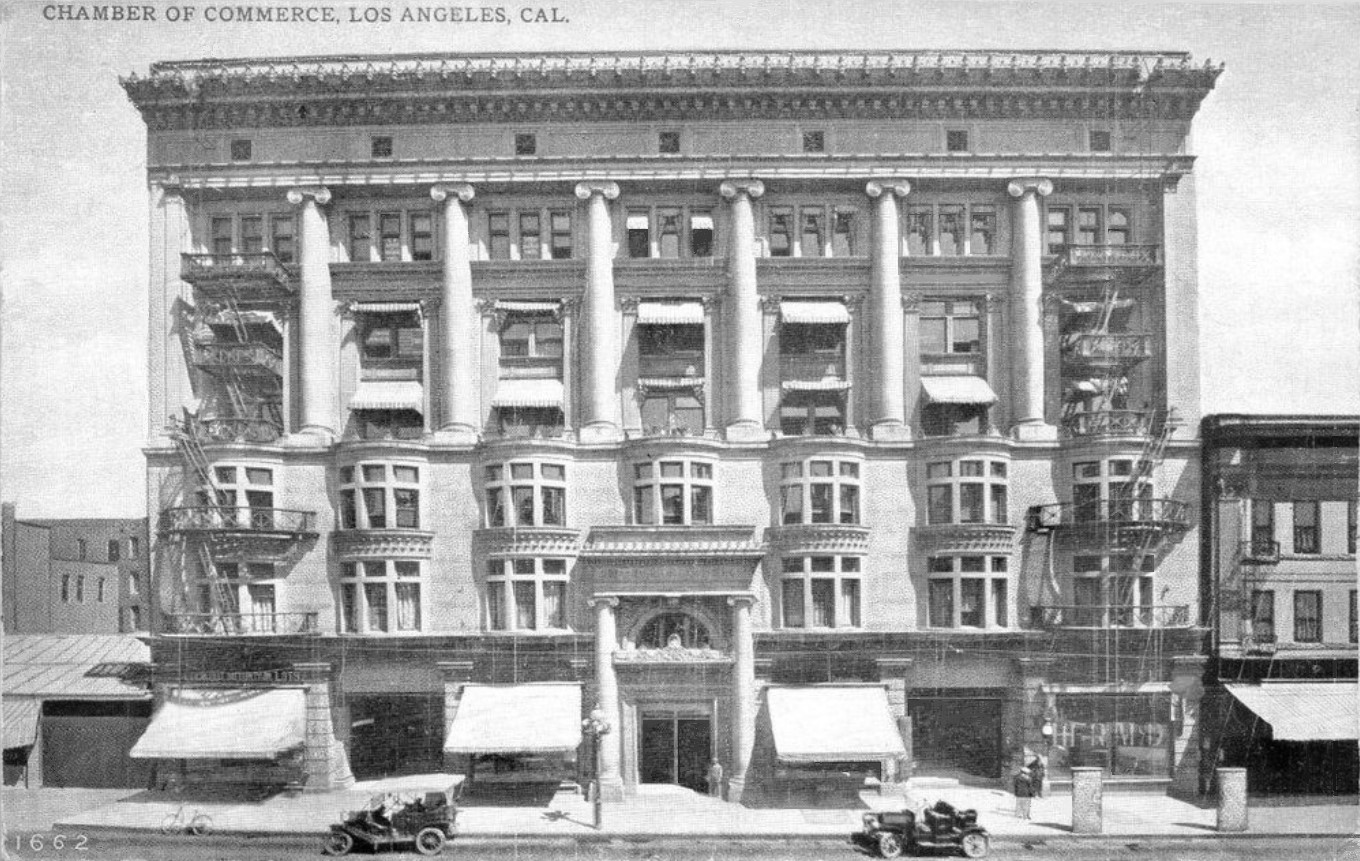 |
|
| (ca. 1910)* – Postcard view of the Southwest Building, home to the Los Angeles Chamber of Commerce from 1903 to 1925.. |
Historical Notes The 6-story Southwest Building was built between 1903. Designers: Allen, William H., Architect (firm); William H. Allen. |
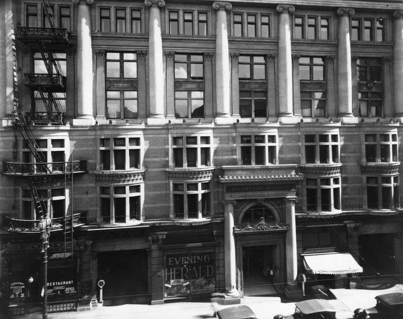 |
|
| (ca. 1920s)* - Front view of the Southwest Building which housed the Los Angeles Evening Herald. |
Historical Notes The Los Angeles Daily Herald was first published on October 2, 1873, by Charles A. Storke. The Herald was the first newspaper in Southern California to use the innovative steam press; the newspaper’s offices at 130 South Broadway were popular with the public because large windows on the ground floor allowed passersby to see the presses in motion. Beginning in the teens and guided by the Hearst-trained editors, Edwin R. Collins and John B.T. Campbell, the local coverage for which the Herald was known started to emphasize scandal, crime, and the emerging Hollywood scene. By the 1920s, editors Wes Barr and James H. Richardson were so well known for their investigative reporting that they became the prototypes for the morally ambiguous, chain-smoking reporters who figured in so many film noir movies of the 1930s. In 1922, the Herald officially joined the Hearst News empire, although several sources suggest that Hearst had secretly purchased the paper in 1911 when Collins and Campbell took the helm.^ |
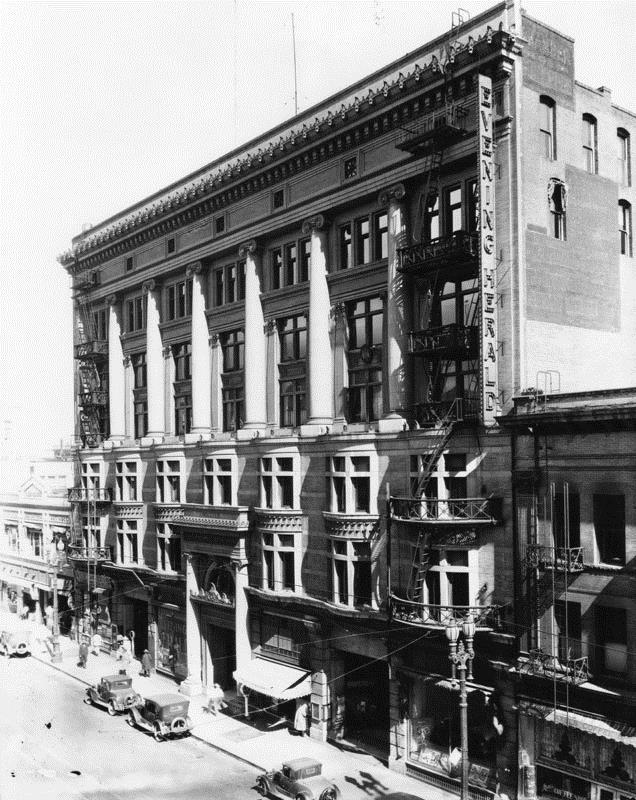 |
|
| (1929)* - View of the Southwest Building located at 130 S. Broadway. A large sign reading EVENING HERALD can be seen on the right face of the building. |
Historical Notes In 1931, Hearst merged the Los Angeles Daily Herald with the Los Angeles Evening Express to form the Los Angeles Evening Express and Evening Herald, which was then the largest circulating evening newspaper west of the Mississippi.^ |
* * * * * |
Merchants Trust Company Building
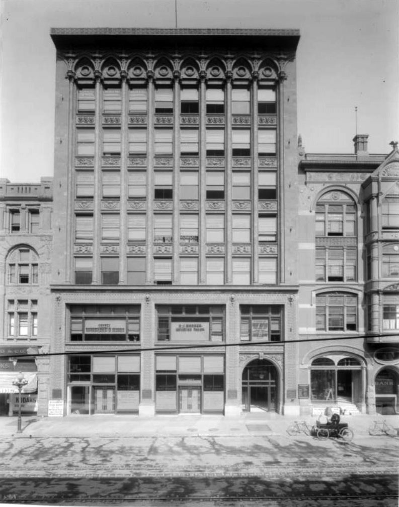 |
|
| (ca. 1905)^ - View showing the Merchants Trust Company Building located at 207 S. Broadway. The street and sidewalk are deserted except for a parked early model automobile, two bicycles, and a workman kneeling near some stairs in front of the seven-story stone facade building. |
Historical Notes The Merchants Trust Company Building was built on the site of the first building designed and constructed as a YMCA structure in Los Angeles (1889). Click HERE to see more. |
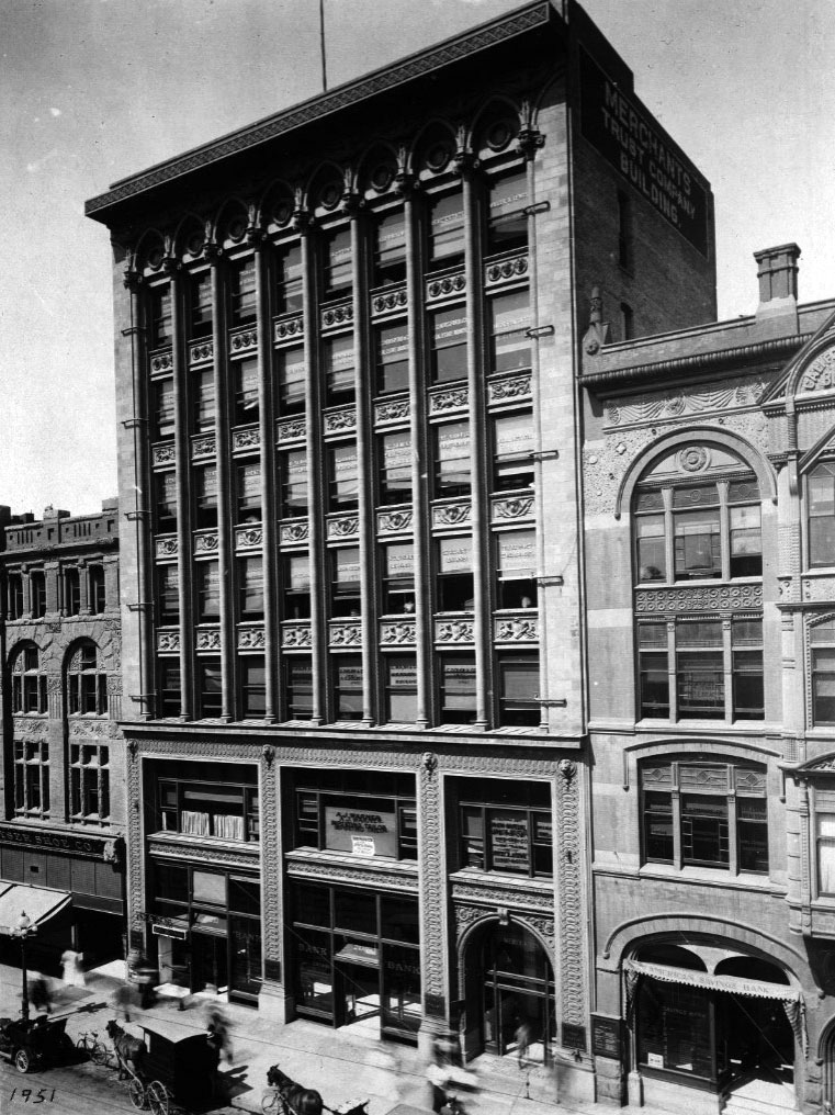 |
|
| (ca. 1910)#^* - A view of the Merchants Trust Company Building with carriages and one early model car on the street and various other stores in the upper floors. |
.jpg) |
|
| (ca. 1921)* - View looking south on Broadway from near 2nd Street. The Municipal Water & Power Headquarters now occupies the Merchants Trust Building at 207 S. Broadway. Note the people lined up along the curbs and the American Flags on the right. This could be the prelude to a 4th of July Parade. |
Historical Notes In 1921 the Department of Water and Power purchased the seven-story Merchants Trust Company Building at 207 South Broadway, which was to remain its main headquarters building for forty-four years. It is one of the 11 buildings the new DWP General Office Building (now known as John Ferraro Building) replaced in 1965. |
* * * * * |
Ebell Club
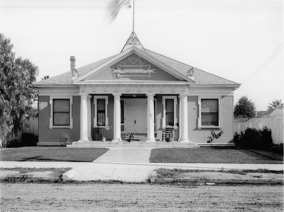 |
|
| (ca. 1905)* - View of the first Ebell Club house on Broadway, south of Seventh Street. The one-story building has a portico in front and a flag flying from a pole on the peak of its roof. |
Historical Notes Ebell of Los Angeles was formed as a women's club in 1894, based on the principles and teachings of Adrian Ebell, a pioneer in women's education and organizing women's societies in the late 19th century. Harriet Williams Russell Strong was a founder of the club, serving as its president for three consecutive terms. The minutes of the first meeting of Ebell of Los Angeles identify its purpose "to interest women in the study of all branches of literature, art and science and the advancement of women in every branch of culture." The club adopted as its motto, "I will find a way or make one -- I serve." ^* |
* * * * * |
Edison Eelctric Company Steam Plant No. 1
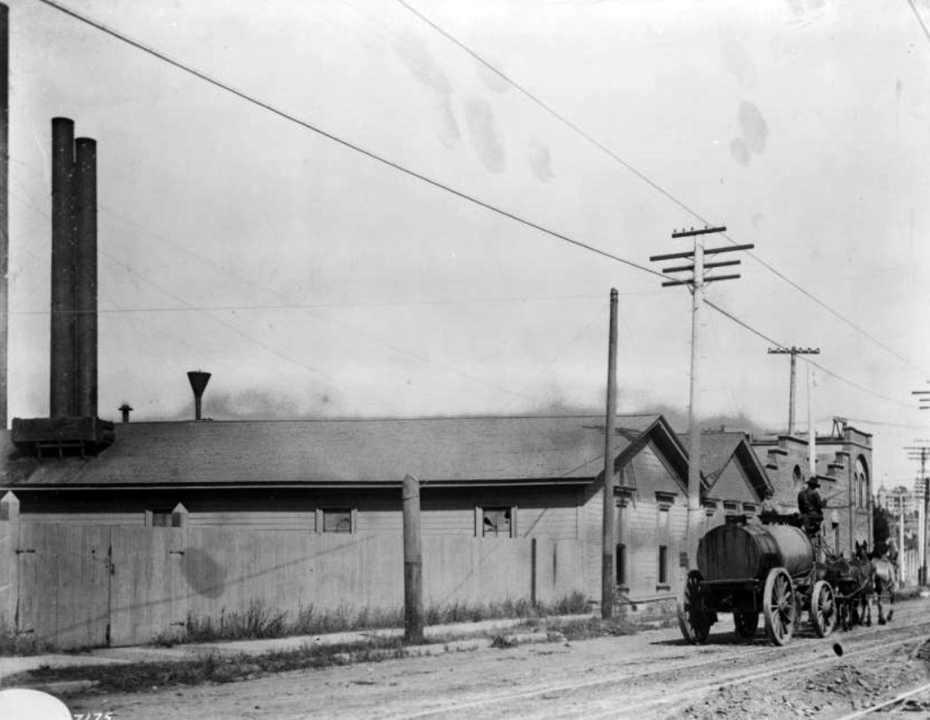 |
|
| (ca. 1900)^ - View of Second Street looking east toward Boylston Street showing the Edison Electric Company Steam Plant No. 1. A man with a horse-drawn tanker wagon is making his way away from the camera along the unpaved road, with the Edison Electric power house behind a picket fence to his left. |
Historical Notes Between 1897 and 1906 the power house was in use as Edison Electric Company Steam Plant No. 1. This was Edison's first power plant located in the City of Los Angeles. |
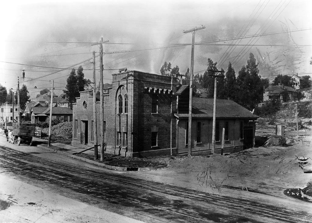 |
|
| (ca. 1906)^ - View showing the 'old' Edison Electric Steam Plan No. 1 located on the northwest corner of 2nd and Boylston streets. The auxiliary buildings with clapboard veneers and smokestacks that once were attached to the corner brick building have been removed.The two-story brick utility building now stands next to a cleared lot in front of an unpaved road in which streetcar rails can be seen, surrounded by utility poles. |
Historical Notes At the time of this photo the brick building at the corner of 2nd and Boylston streets, once part of Edison Electric Steam Plant No. 1, was no longer being used as a power plant. It now was serving as an Edison Electrical Sub-Station. In 1909, Los Angeles Edsion Electric changed its name to Southern California Edison (SCE). |
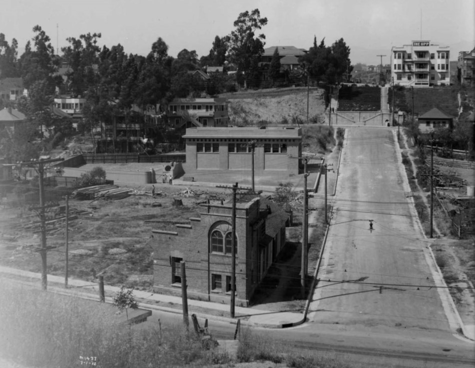 |
|
| (1912)**# – View looking north on Boylston Street from above 2nd Street. The 'old' Edison Steam Plant No. 1, later converted to a Sub-Station, is on the N/W corner. A newer, more modern Sub-Station stands a couple hundred feet behind the old one at center of photo. The hill in the background is filled with apartment buildings and homes. Today this same hill is occupied by Belmont High School. |
Historical Notes Over the years the Boylston facility has been used by the West Side Lighting Company, Los Angeles Edison Electric, Southern California Edison, and the Los Angeles Department of Water and Power, which has occupied the site since 1940. Click HERE to see more in Early Boylston Street Yard. |
* * * * * |
Hotel Gray
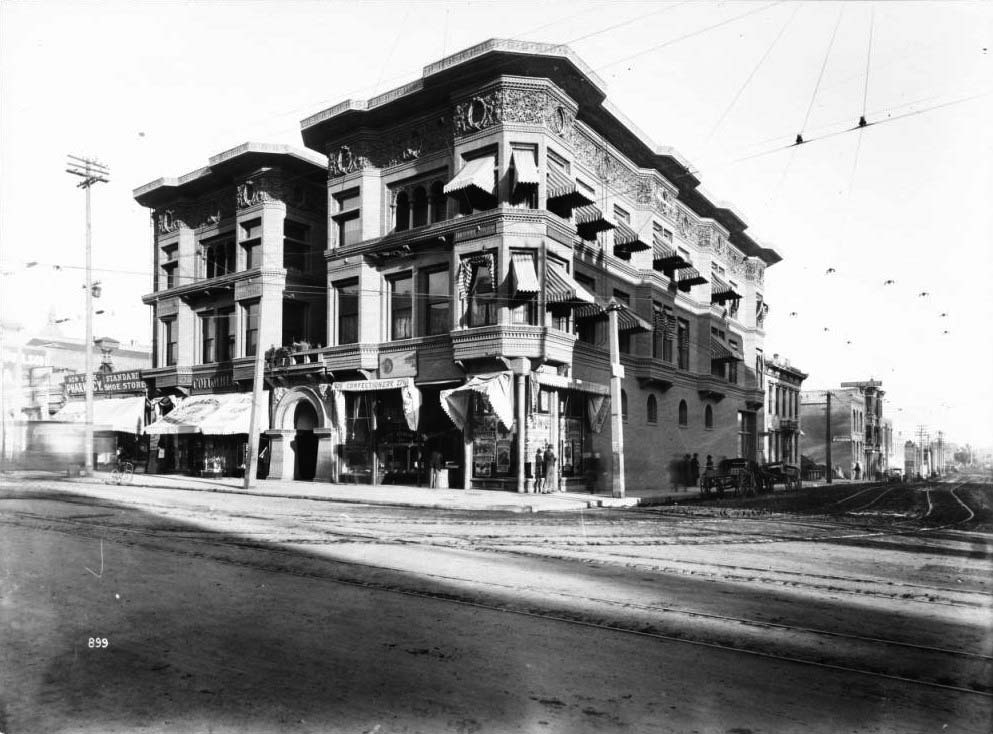 |
|
| (ca. 1905)^ – View showing the Hotel Gray located on the northeast corner of Main and Third Streets. The hotel stands at center three-stories tall with striped cloth awnings on many windows. The building also includes a pharmacy, shoe store, men's clothing store, and confectionery. Electric lines for the streetcar line are visible. Several wagons are parked on the street. |
* * * * * |
Pacific Electric Building (aka Huntington Building)
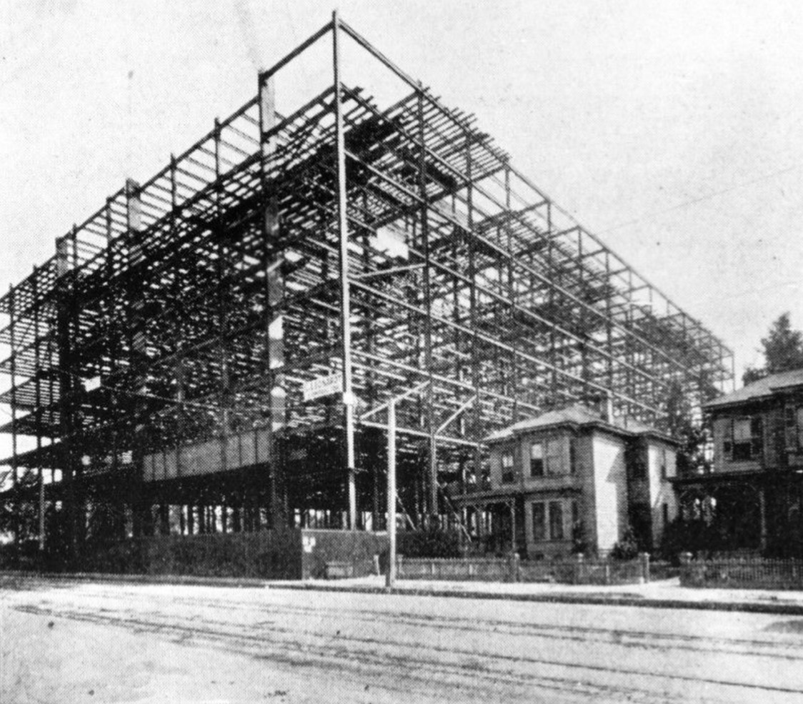 |
|
| (1904)* - Framing of the Pacific Electric Building located on the southeast corner of Main and Sixth Streets (610 S. Main Street). |
Historical Notes The Pacific Electric Building was designed by architect Thornton Fitzhugh in the Beaux-Arts style, which was popular in the early 20th century. Though not the first modern building in Los Angeles, nor the tallest, its large footprint and ten-floor height made it the largest building in floor area west of Chicago for several decades. |
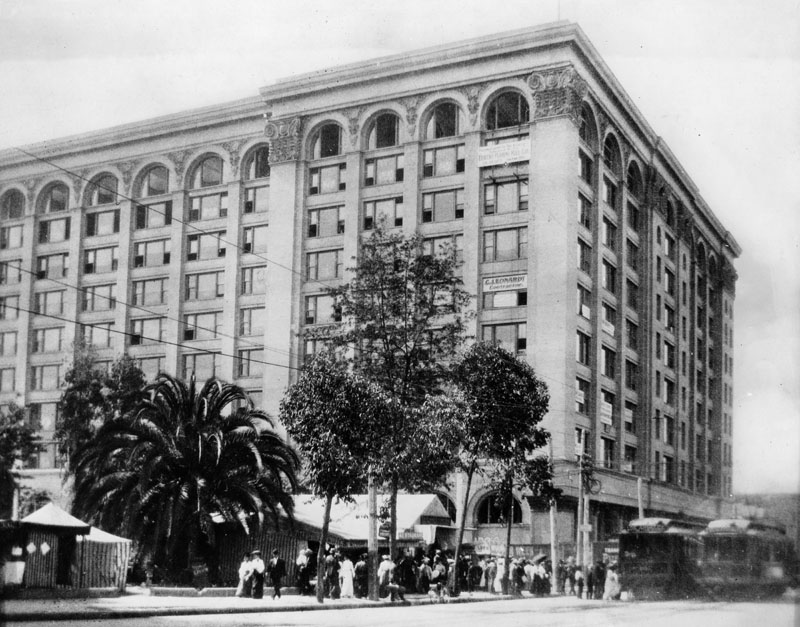 |
|
| (1905)* - View showing the Pacific Electric Railway Building on Main and 6th Streets soon after it was completed. Passengers are seen in line waiting to board the PE electric streetcars. |
Historical Notes The historic Pacific Electric Building (also known as the Huntington Building, after the Pacific Electric founder and developer Henry Huntington) opened on January 12, 1905 as the terminal for the Pacific Electric Red Car Lines running east and south of downtown Los Angeles, as well as the company's main headquarters building. |
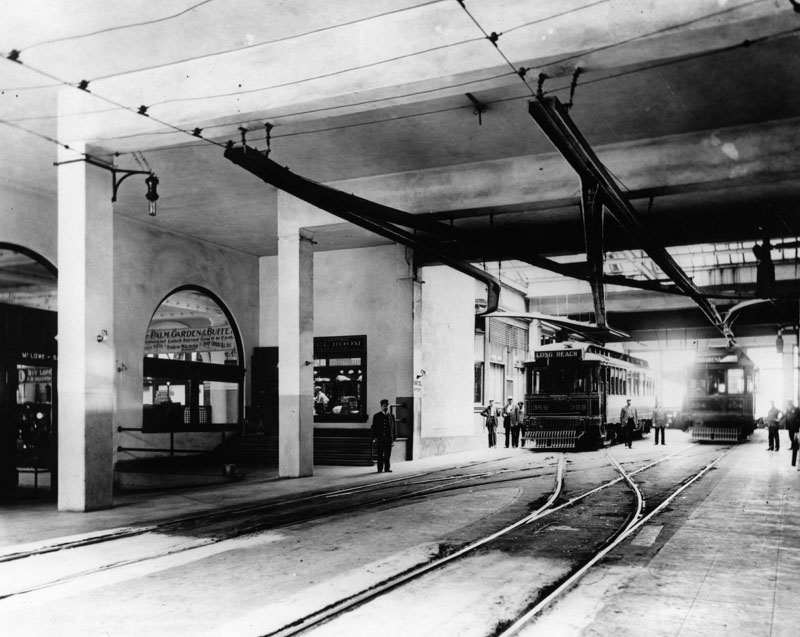 |
|
| (ca. 1905)* - Interior view of the Pacific Electric Building, the main streetcar station located on Main and 6th streets. Two streetcars, one bound for Long Beach, the other for Pasadena, are seen surrounded by several conductors. The Palm Garden & Buffet, a small lunch counter managed by Eugen Mächtig, is visible on the left. Another business, perhaps a men's clothier, is also present in the building. One sign on the far left reads "Mt. Lowe", once a popular mountain destination for Pacific Electric customers. Click HERE to see more in Early Views of Mt. Lowe Railway. |
Historical Notes The building played a crucial role in the development of Los Angeles' public transportation system. It housed the main terminal for the Pacific Electric Railway, which connected Los Angeles with surrounding cities and suburbs, facilitating the growth and expansion of the region. |
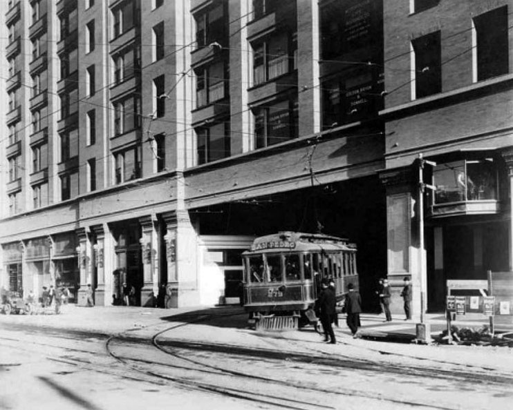 |
|
| (ca. 1906)* - View showing Pacific Electric’s 6th & Main Street Building with a streetcar turning onto its main concourse. |
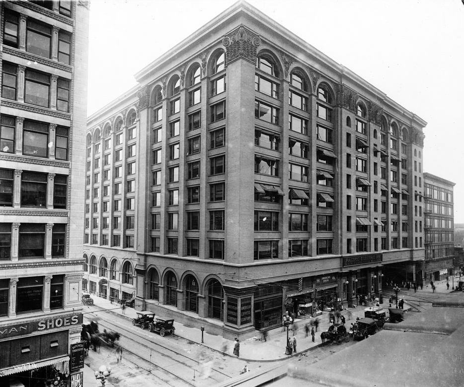 |
|
| (ca. 1910)* - Exterior view of the Pacific Electric Building on the southeast corner of Sixth and Main streets. Several early model automobiles are visible along with pedestrians and a couple of horse-drawn wagons. |
Historical Notes Above the main floor terminal were five floors of offices and, on the top three floors, the Jonathan Club, one of the city's leading businessmen's clubs. The club moved to its own building on Figueroa Street in 1925. Click HERE to see more on the Jonathan Club. |
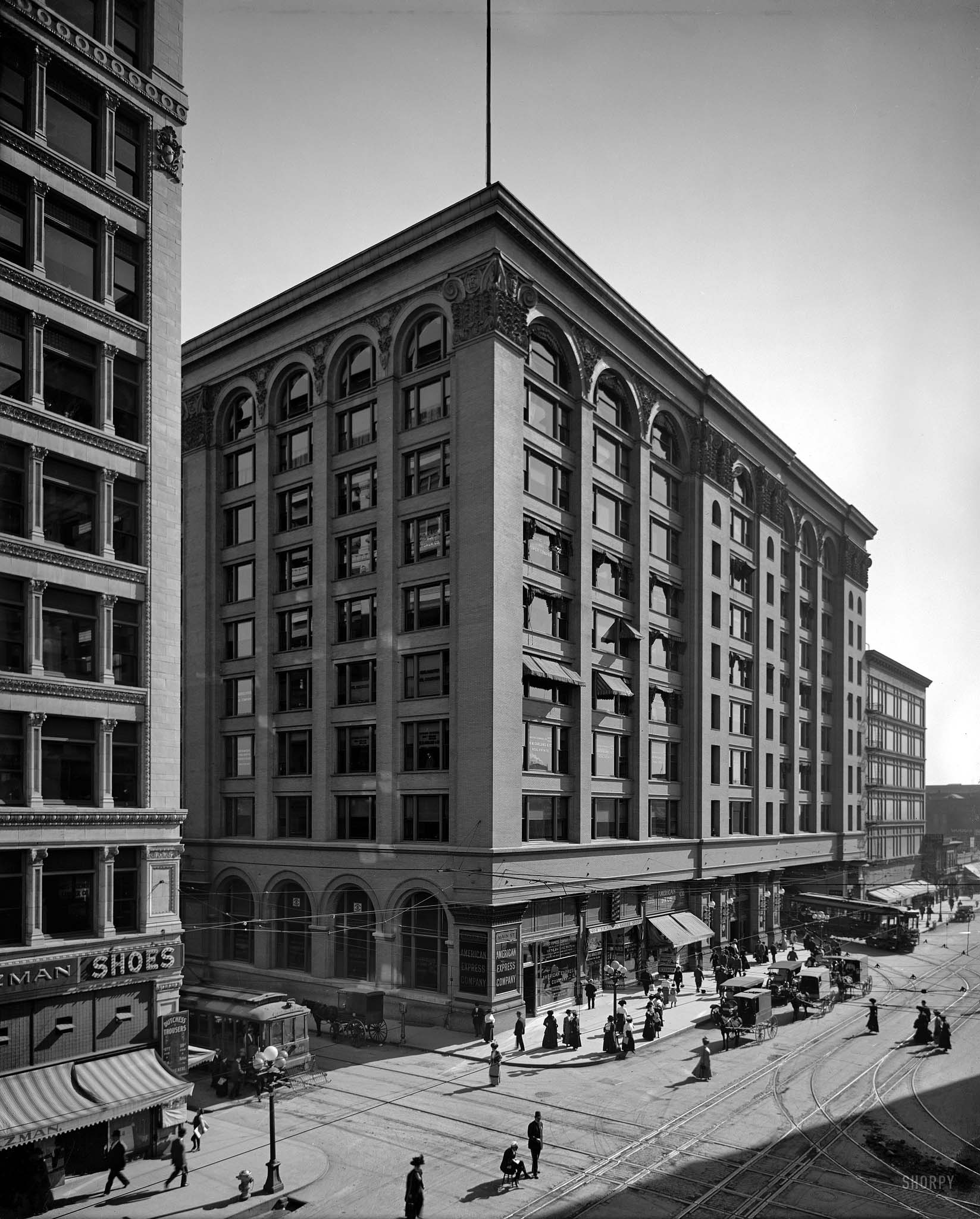 |
|
| (1910)* - View of the Pacific Electric Building at 610 S. Main Street. Notice the man standing in the window watching the street below. The streetcar is bound for Edendale and the policeman has a little help although from a seated position. |
Historical Notes In 1908, Cole's Pacific Electric Buffet was opened on the lower floor of the building and is still there today. As such, Cole's claims to be Los Angeles' oldest restaurant and pub that has been in operation in the same place since its founding. It is one of two local establishments which lay claim to having invented the French dip sandwich. |
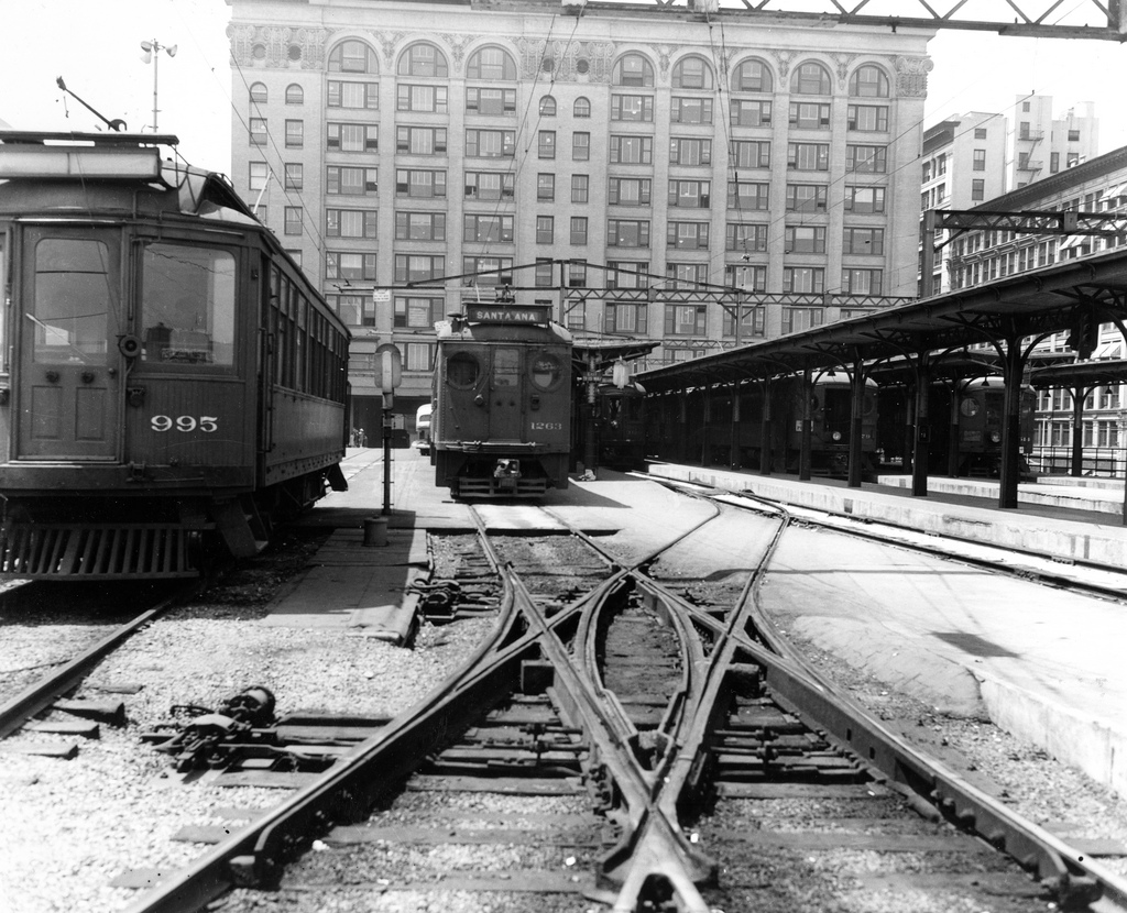 |
|
| (ca. 1943)* - A general view of Pacific Electric Railway Company's 6th Main elevated rail terminal. Car no. 995, a franchise car on the Santa Monica Air Line, is visible in the foreground, with car no. 1263 to Santa Ana further behind. |
Historical Notes The decline of the streetcar system began with the unprecedented development of single-family tract housing designed for automobiles. This shift in urban development accelerated the downfall of the streetcar system as the region focused more on private transportation. |
 |
|
| (ca. 1950)* - A bus driver pulls a Los Angeles Limited No. 2801 city bus away from a depot underneath the elevated rails of the Pacific Electric. Red Car No. 310 sits on the rails above the buses with the Pacific Electric Building in the background. |
Historical Notes In the mid-1900s, the streetcar system, primarily operated by Pacific Electric (1901-1961), was at its peak. However, the rise of automobiles, increased congestion, and the adoption of diesel buses led to a significant decline in streetcar ridership. In 1955, a mass abandonment of streetcar lines occurred, leading to the retirement of many cars. By 1963, the last remaining five streetcar lines and two trolley bus lines were replaced with diesel buses. |
 |
|
| (2009)* – View showing the historic Pacific Electric Building on the southeast corner of Main and 6th Street. Photo by Publichall / Wikipedia |
Historical Notes The Pacific Electric Building is listed on the National Register of Historic Places and is recognized for its architectural and historical significance In 2005, the Pacific Electric Building was converted by ICO Group into residential live/work lofts and is occupied by tenants. Several commercial tenants have filled the first floor spaces along 6th Street. The original Cole's space was renovated and divided to add another restaurant and bar. The building lobby currently displays a number of artifacts left over from its days as once an exceptionally active interurban rail terminal. "DANGER" warnings are set into the sidewalk at the Main Street location where trains once entered and left the building, remaining as evidence of its original grand purpose. |
* * * * * |
Bryson-Bonebrake Block
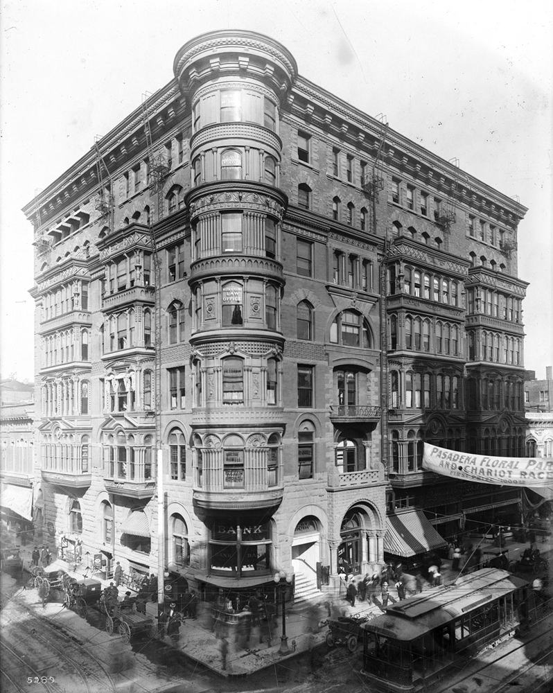 |
|
| (1905)^ - Photograph of the Bryson-Bonebrake Block on the corner of Second Street and Spring Street, Los Angeles, 1905. The eight-story building towers above the streets and other buildings nearby. The first two floors are constructed of stone masonry, while the top two floors are constructed of brick. The building has a circular, tower-like corner. A street banner announces, "Pasadena floral parade and chariot races, first prize $1000.00." The street is busy with pedestrian, bicycle, horse-drawn carriage, early model car and streetcar traffic. |
Historical Notes The Bryson-Bonebrake Block was one of the more important office buildings built during the 1880s building boom in Los Angeles, CA. It had six stories, with a typical Queen Anne Style variety of shapes, materials and ornamentation for which architect John Cather Newsom was famous.*##* At the turn of the century chariot races were held at the Pasadena Tournament of Roses at Tournament Park. In 1909 football was substituted for chariot racing as the midwinter attraction. The first game was played between Michigan (49) and Stanford (0). In the years that followed, the Rose Bowl game grew to become the "granddaddy" of all bowl games. Click HERE to see more in Early Views of Pasadena. |
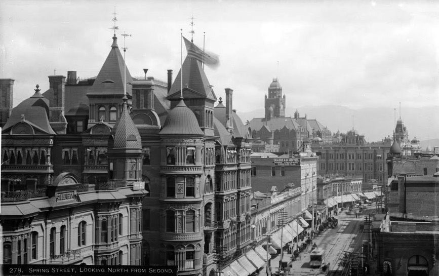 |
|
| (Early 1900s)* - View of Spring Street looking north from Second. The Bryson-Bonebrake Block is seen on the northwest corner of Spring and Second streets. |
Historical Notes Two highly influential figures in 1880s Los Angeles, John Bryson, Sr., the 19th mayor, of LA and Major George H. Bonebrake, President of the Los Angeles National Bank and the State Loan and Trust Company, commissioned John Cather Newsom to erect this 126-room bank and office building. It's cost was projected to be $224,000, a staggering sum at the time. Bonebrake was one of the richest men in the city at the time, and he could afford making such an investment. He located the main headquarters of his bank in the Bryson-Bonebrake Block.*##* |
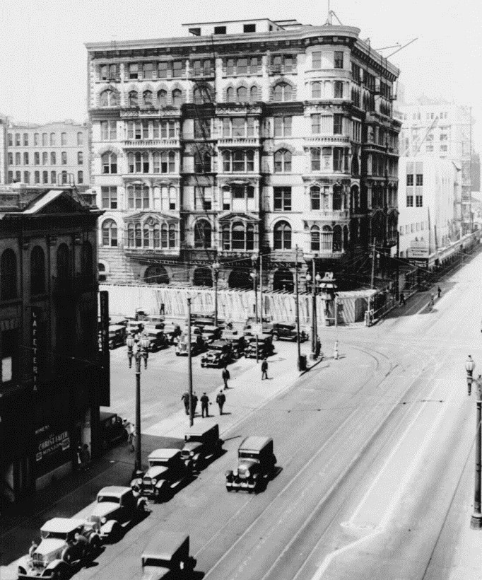 |
|
| (1934)^ - Only 46 years after its construction, demolition of the Bryson Block is underway. |
Historical Notes An annex building of the Los Angeles Times occupies the site today. |
* * * * * |
Silverwoods
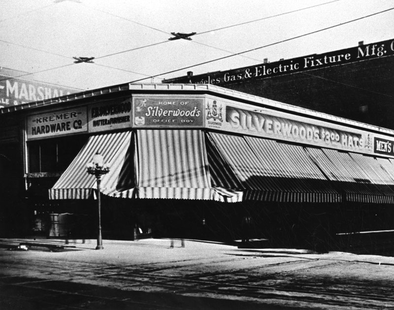 |
|
| (ca. 1905)* - Corner view of Silverwoods at Broadway and 6th. Striped awnings cover the sidewalk. Signs read "F. B. Silverwood, hatter and furnisher", "Home of Silverwood's Office Boy", and "Silverwood's $3.00 hats". Kremer Hardware Co. is next door and the sign on the building in the background reads "Los Angeles Gas & Electric Fixture Mfg. Co." Streetcar electrical lines hover over the street. A street light is on the corner. |
* * * * * |
Hotel Baltimore
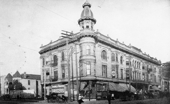 |
|
| (ca. 1905)* - Exterior of the original Hotel Baltimore located at 7th and Olive. The building was demolished for the construction of the Los Angeles Athletic Club. The new Hotel Baltimore was built at 5th and Los Angeles Streets. |
* * * * * |
Locke Hotel & Annex
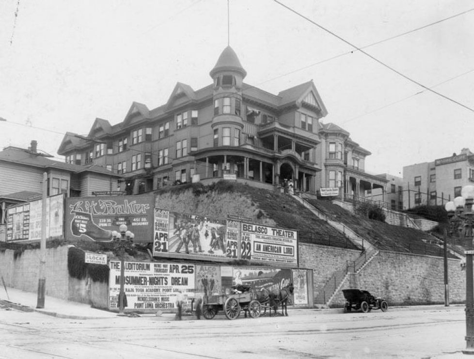 |
|
| (1906)* - The Locke Hotel & Annex sit up on the hill on the NW corner of 2nd and Hill streets while advertising placards are pasted all over the wall at street level. Adds for "Midsummer nights dream" at the Auditorium, "An American lord" at the Belasco Theater, "G.H. Baker" shoes stories, etc. |
Historical Notes In the early 1900s, the Locke Hotel and Annex stood prominently on the northwest corner of Hill and 2nd Streets in downtown Los Angeles, atop Bunker Hill. Located at 139 S. Hill Street, the hotel overlooked 2nd Street as it climbed Bunker Hill, with Hill Street extending toward the 1st Street tunnels. This bustling area was a vibrant part of the city's Victorian-era development, featuring horse-drawn wagons, electric streetcars, and pedestrians navigating the steep streets, with the Locke Hotel and its annex representing the architectural and cultural growth of Los Angeles during its transition into a major urban center. |
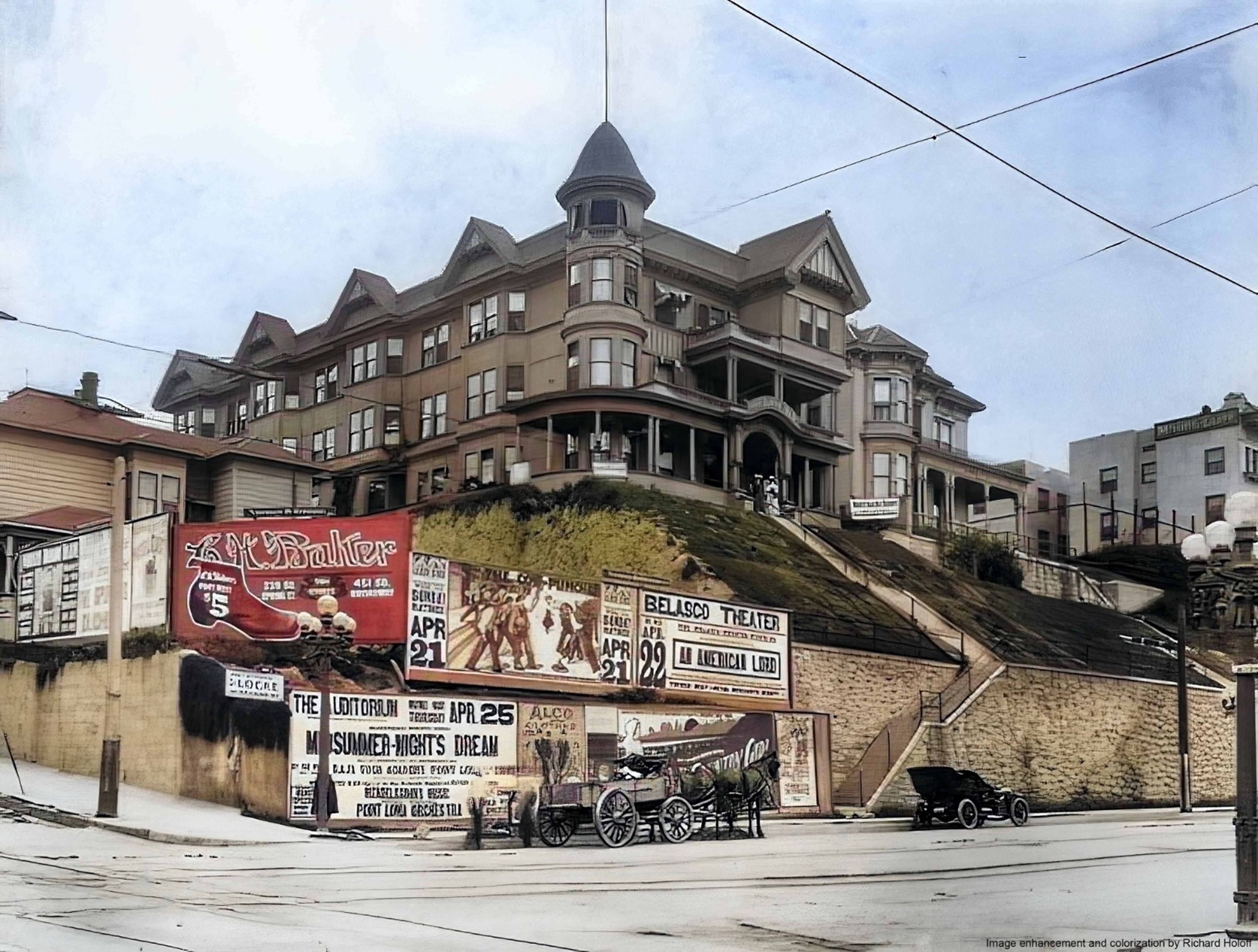 |
|
| (1906)* - The Locke Hotel & Annex sit up on the hill on the NW corner of 2nd and Hill streets while advertising placards are pasted all over the wall at street level. Adds for "Midsummer nights dream" at the Auditorium, "An American lord" at the Belasco Theater, "G.H. Baker" shoes stories, etc. Image enhancement and colorization by Richard Holoff. |
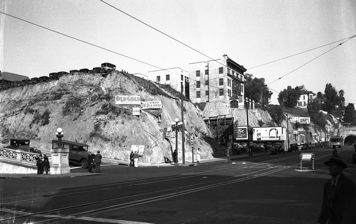 |
|
| (1932)* – Looking north on Hill Street at 2nd Street showing cars parked on the hill where the Locke Hotel once stood. The 4-story building in the center of the photo is the Moore Cliff Apartments. In the distance on the right is the Hill Street Tunnel. |
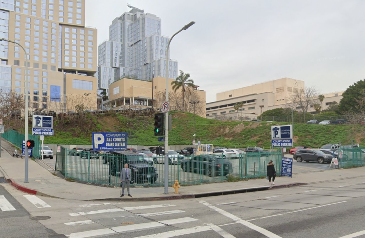 |
|
| (2023)* – Contemporary view of the northwest corner of Hill and 2nd Streets, now a parking lot where the Locke Hotel and Annex once stood. |
Then and Now
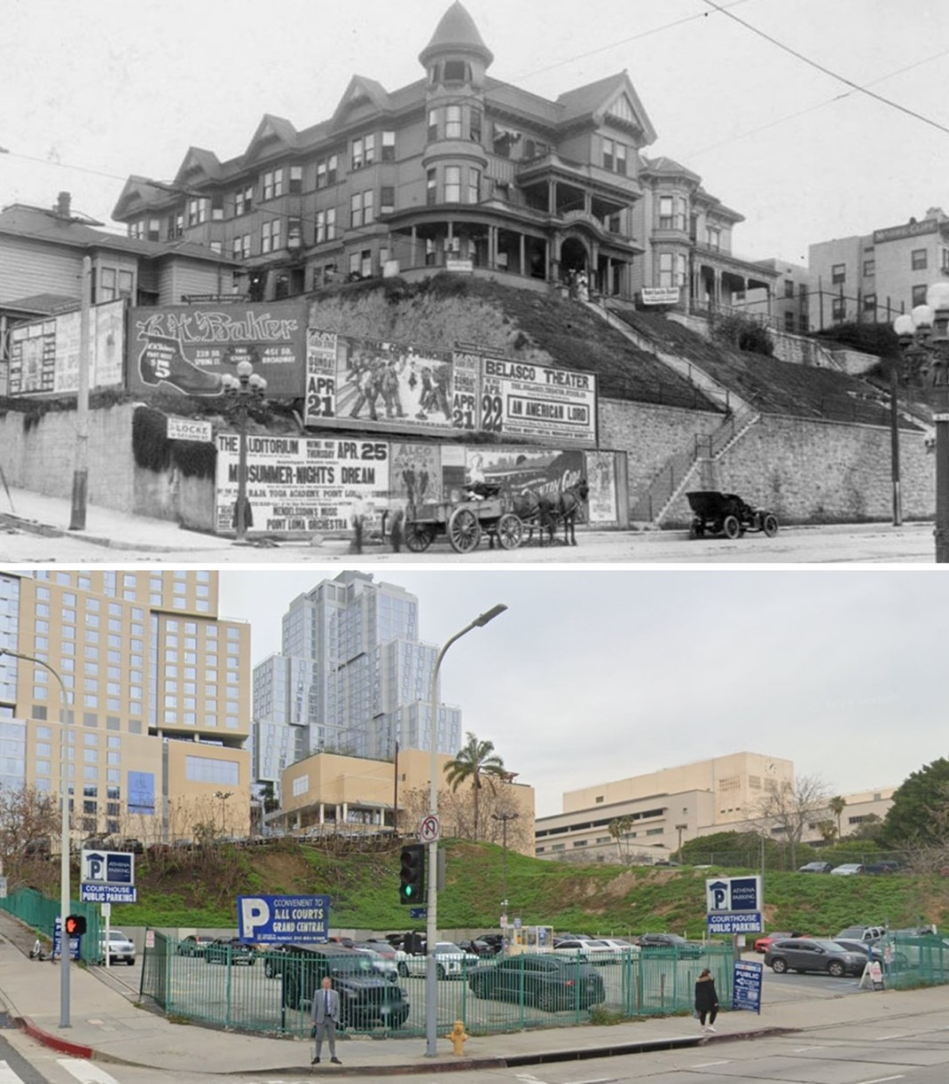 |
|
| (1906 vs. 2023)* – A ‘Then and Now’ comparison of the Locke Hotel and Annex at the northwest corner of Hill and 2nd Streets in Downtown Los Angeles, now the site of a parking lot. |
* * * * * |
Engine Co. 18
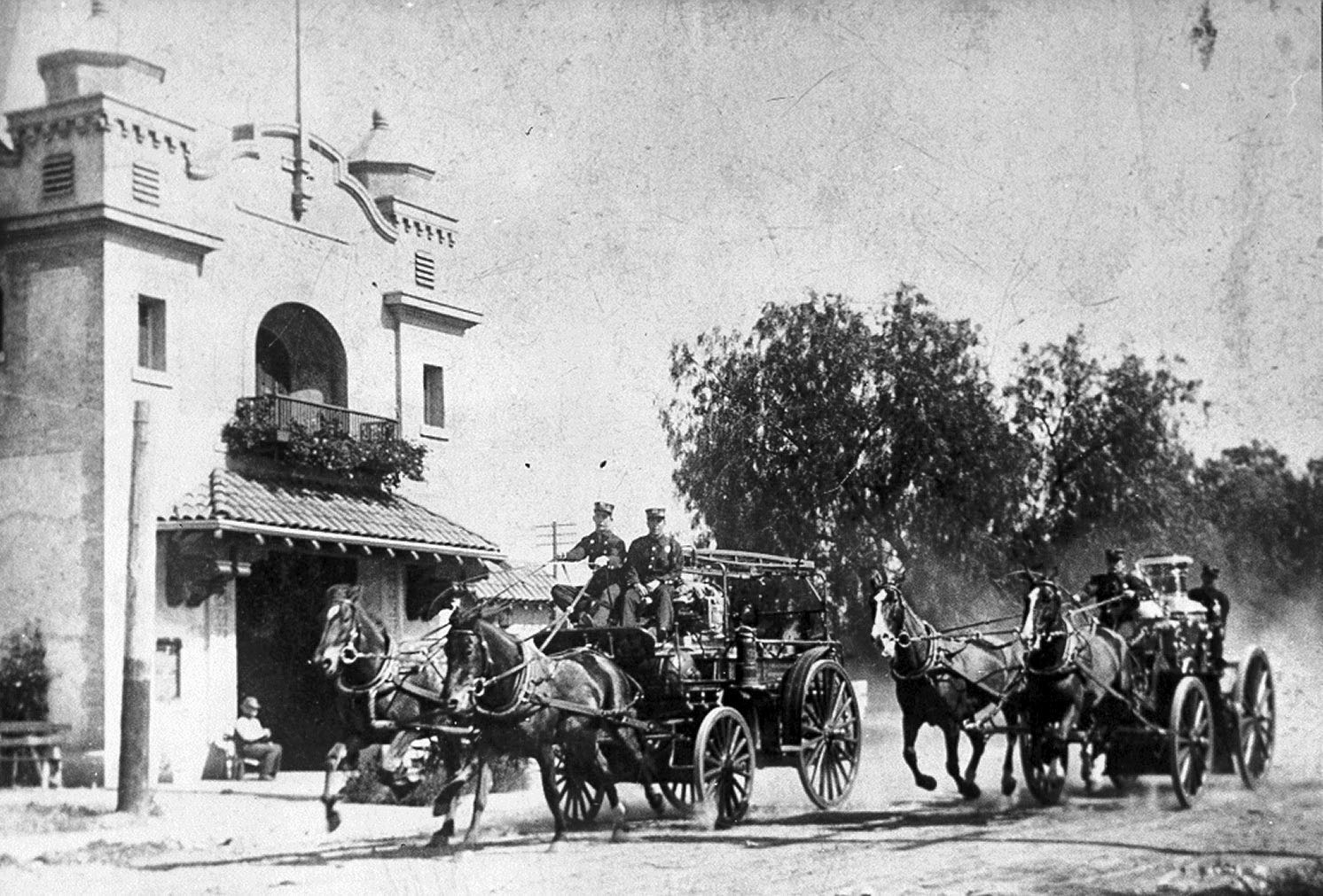 |
|
| (ca. 1906)* - Engine Company 18 making a run past the Fire House at 2616 South Hobart Street. |
Historical Notes Built in 1904, Engine House No. 18 was designed in the Mission Revival style by noted architect John Parkinson, whose later works included Los Angeles City Hall, Union Station and Bullocks Wilshire. Fire Station No. 18 was dedicated LA Historic-Cultural Monument No. 349 in 1988 (Click HERE to see complete listing). It is also listed on the National Register of Historic Places. The Exceptional Children’s Foundation purchased Engine House No. 18 in 2011 with the goal of converting the cultural landmark into a fine arts training center for adults with special needs and a community creative space for the residents of South Los Angeles. The new facility was scheduled to be opened in late 2013. |
.jpg) |
|
| (Early 1900s)^ - View of Engine House No.18 located at 2616 South Hobart Street, West Adams. |
Historical Notes In 1915, Engine House No. 18 was one of a dozen stations closed because of budget cutbacks resulting from the "two-platoon ordinance" passed by the Los Angeles City Council in 1915. The station re-opened in 1920 and remained an operating fire station until 1968. Fire Station No. 18 was dedicated LA Historic-Cultural Monument No. 349 in 1988 (Click HERE to see complete listing). It is also listed on the National Register of Historic Places. The Exceptional Children’s Foundation purchased Engine House No. 18 in 2011 with the goal of converting the cultural landmark into a fine arts training center for adults with special needs and a community creative space for the residents of South Los Angeles. The new facility was scheduled to be opened in late 2013. |
Then and Now
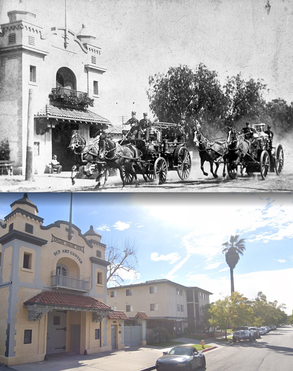 |
|
| (1906 vs. 2022)* - Engine Company 18 making a run past the Fire House at 2616 South Hobart Street, today the ECF Art Center. |
* * * * * |
Alexandria Hotel
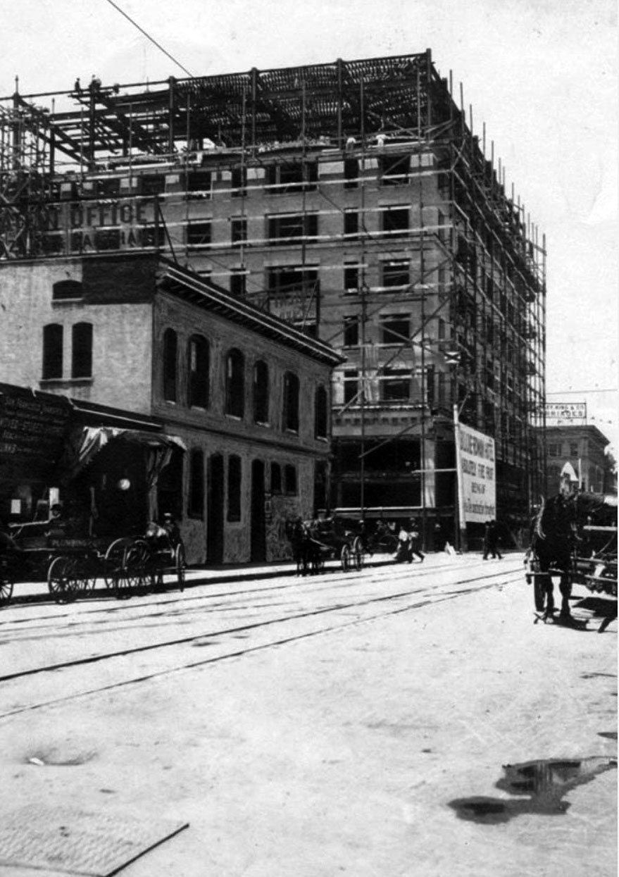 |
|
| (1905)* – View looking west on 5th Street toward Spring Street showing the Alexandria Hotel under construction, located at 501 South Spring Street, SW corner of Spring and 5th. |
Historical Notes Constructed in 1906 at the then almost unheard of cost of $2 million, the hotel then added a large addition in 1911. The addition included a beautiful banquet hall with a spectacular stained-glass ceiling, now known as the Palm Court.^ |
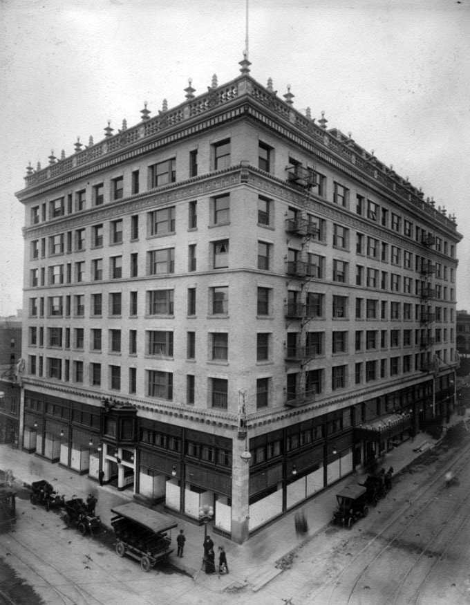 |
|
| (1906)^*# - Close-up view of the Alexandria Hotel shortly after it opened. View is looking at the SW corner of 5th (right) and Spring (left). |
Historical Notes The Alexandria Hotel, named for the owner of the property, Harry Alexander, was Los Angeles' most elegant hotel before the construction of the Biltmore in 1923. Among the hotel's illustrious guests were President Theodore Roosevelt, King Edward VIII of England, boxer Jack Dempsey, opera star Enrico Caruso, and movie stars Mary Pickford and Charlie Chaplin. The site was developed in 1906 by the Bilicke-Rowan Fireproof Building Company, at the then almost unheard of cost of $2 million. Designed by John Parkinson, the hotel has a modest Beaux Arts pressed brick and terra cotta façade, distinguished by large sculptures of griffins.^ |
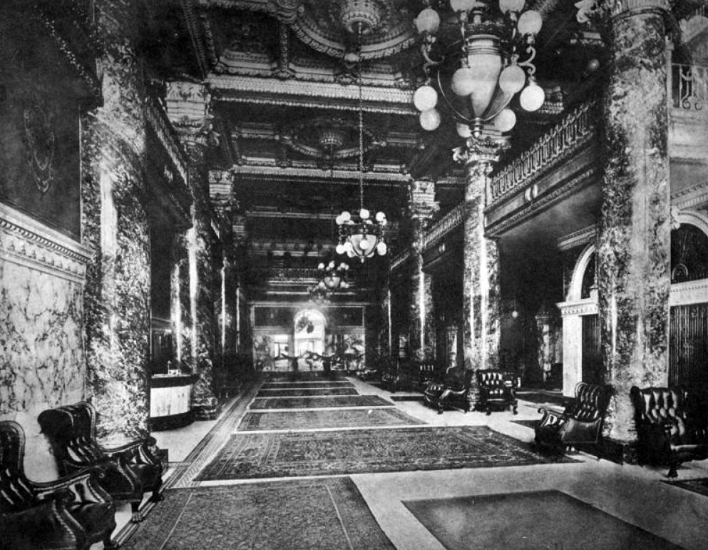 |
|
| (ca. 1906)* - Interior view of the Alexandria Hotel where tall pillars and marbled walls decorate both sides of the lobby. Designs on the ceiling and tops of the pillars gives a lavish look to the whole area. |
Historical Notes Originally, the stately marble entrance lobby had massive marble columns reaching two stories from the lobby to the gold leaf ceiling. The lobby was drastically remodeled in the late 1960s when a mezzanine was added, which cut the lobby height in half. |
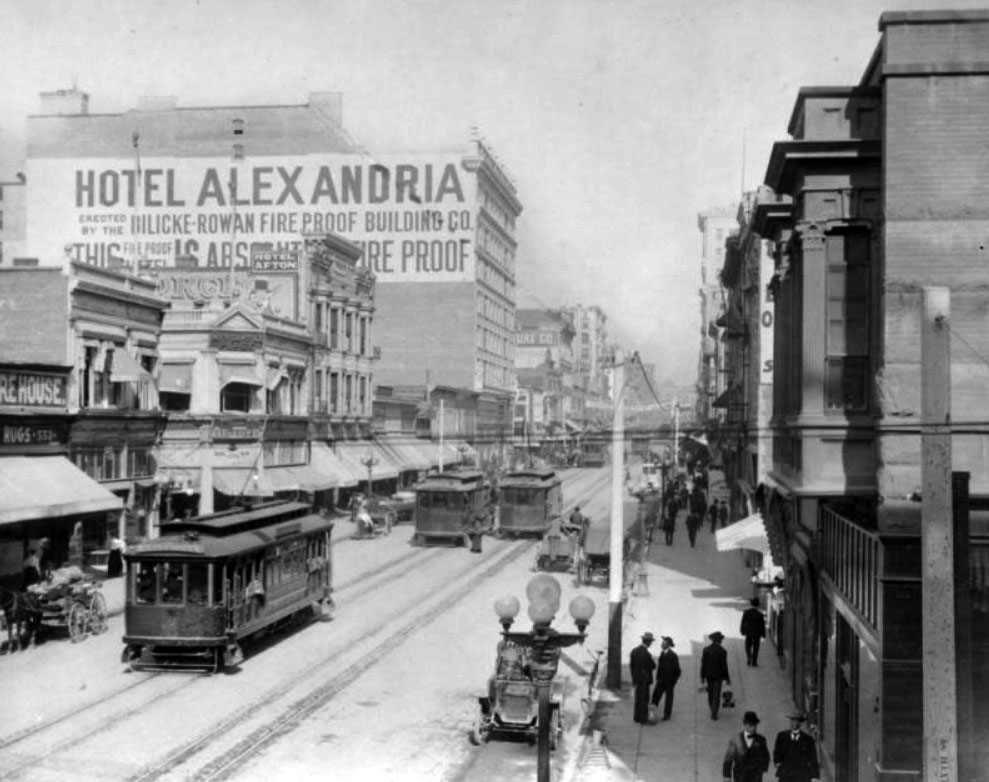 |
|
| (1906)* - Looking north on Spring Street from 6th Street toward the Hotel Alexandria, located on the southwest corner at 5th Street. Oversized sign on side of hotel reads: Hotel Alexandria – Bilicke-Rowan Fireproof Building. |
Historical Notes The "All Fire-proof" Alexandria was once the queen of Los Angeles' hotels. |
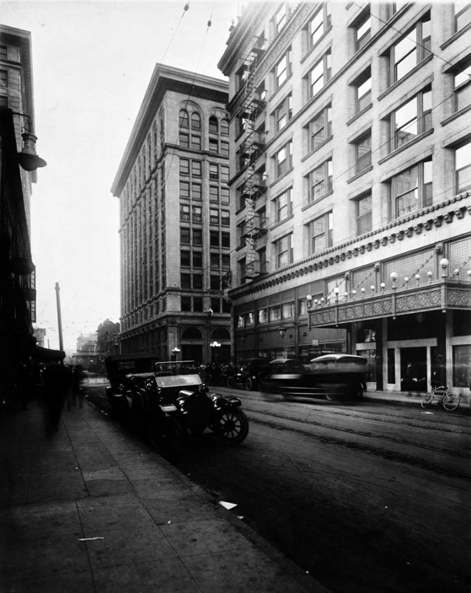 |
|
| (1910)^.^ – View looking east on 5th Street toward Spring Street with the Alexandria Hotel seen on the right (SW corner). A doorman stands at the entrance to the hotel. The Security Building is seen across Spring Street on the SE corner. |
Historical Notes The Alexandria Hotel at 501 South Spring Street became Los Angeles’s first five-star luxury hotel when it opened on February 12, 1906. It also served as the city’s main social center from 1906 to the end of 1920. |
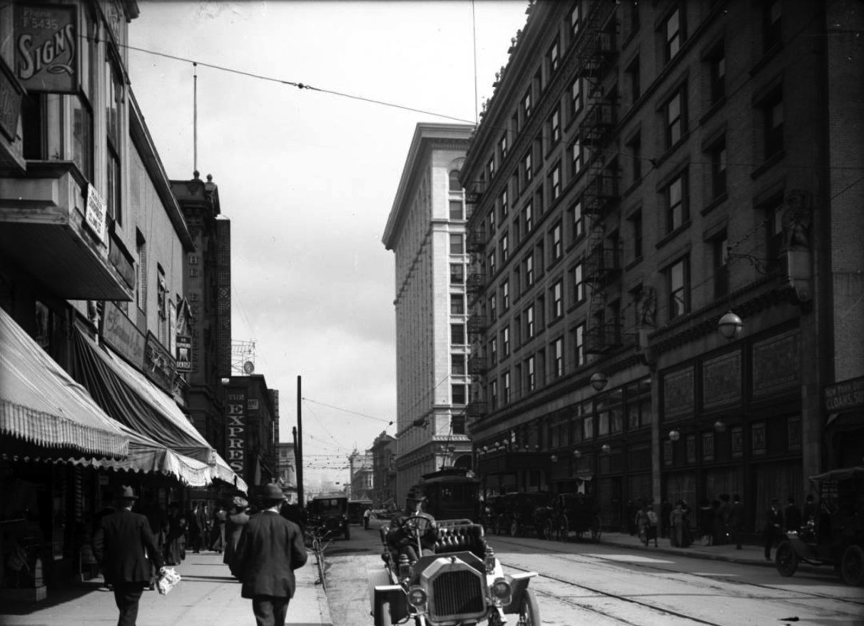 |
|
| (ca. 1918)^ – View looking east on 5th Street toward Spring Street with the Alexandria Hotel seen at right (SW corner). A man sits behind the steering wheel of an early model convertible. The large building on the SE corner of 5th and Spring is the Security Building. |
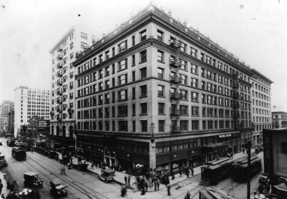 |
|
| (1920)* - Panoramic view of the SW corner of Spring and 5th streets showing two side of the Alexandria Hotel. People, electric streetcars and vintage cars are on the street. |
Historical Notes In 1911 the hotel expanded with a new addition which included a beautiful banquet hall with a spectacular stained-glass ceiling, now known as the Palm Court.^ |
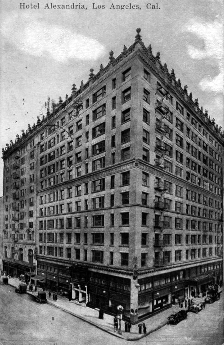 |
|
| (1922)^^ – Postcard view showing a close-up of the Hotel Alexandria on the SW corner of 5th and Spring streets. |
Historical Notes Bilicke and Rowan sold the hotel in 1919, and after a succession of owners the hotel went bankrupt and closed in 1932. The Alexandria re-opened in 1937 and has had many different owners in the subsequent years. The hotel was renovated in 1969-70 in a neo-Victorian style, and in 2005 was converted into rental units.^ |
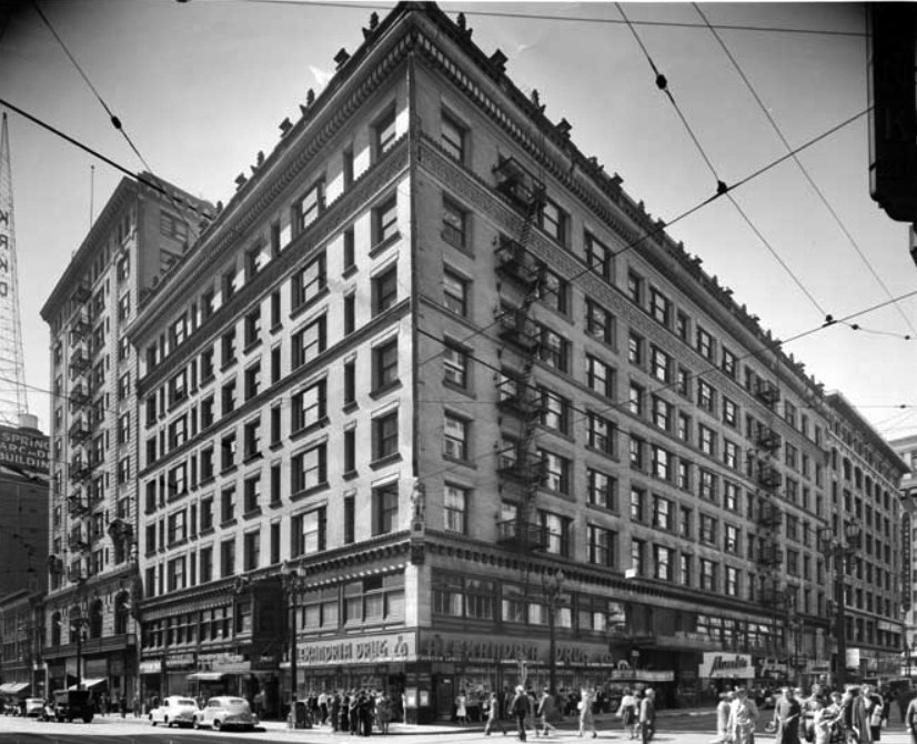 |
|
| (1946)** – Corner view of the Beaux Arts style Alexandria Hotel located on the SW corner of Spring and 5th Streets. The Alexandria Drug Store can be seen on the ground level. Photo by “Dick Whittington” |
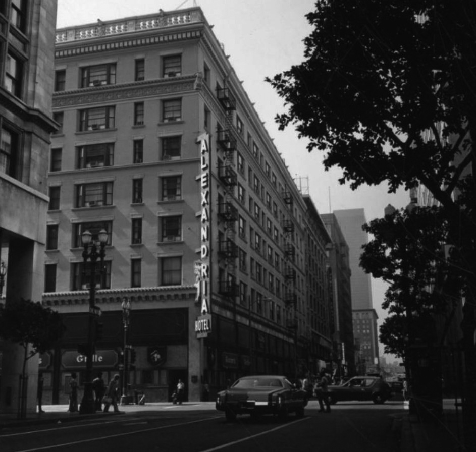 |
|
| (1974)* - The corner of ‘The Alexandria’ can be seen from down the street. View is looking west on 5th Street at Spring Street. A sign with the name now hangs on the building corner and trees line the right hand side of the street. |
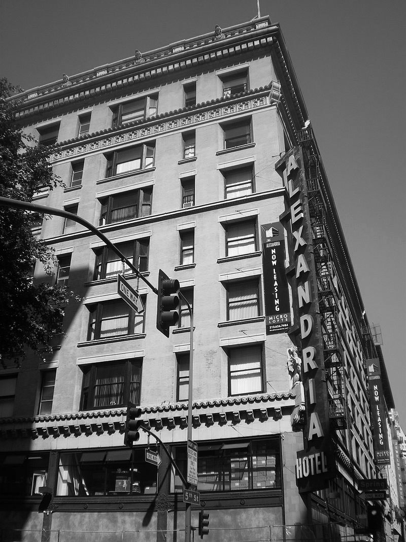 |
|
| (2008)^* – Contemporary close-up view of Hotel Alexandria — southwest corner of South Spring Street and 5th, Downtown Los Angeles. |
Historical Notes In 2005, as the area around the hotel was gradually transformed with the conversion of numerous buildings to expensive lofts, the new owners of the hotel converted it permanently into an apartment building. Remodeling was conducted gradually, as short-term tenants moved out. The building today contains a mix of market rate and subsidized housing. The building was declared a historic place. Its elegant ballrooms are frequently rented for events, filming and weddings. From 2010-2014, its lobby featured The Gorbals, a restaurant run by Top Chef winner Ilan Hall.^* |
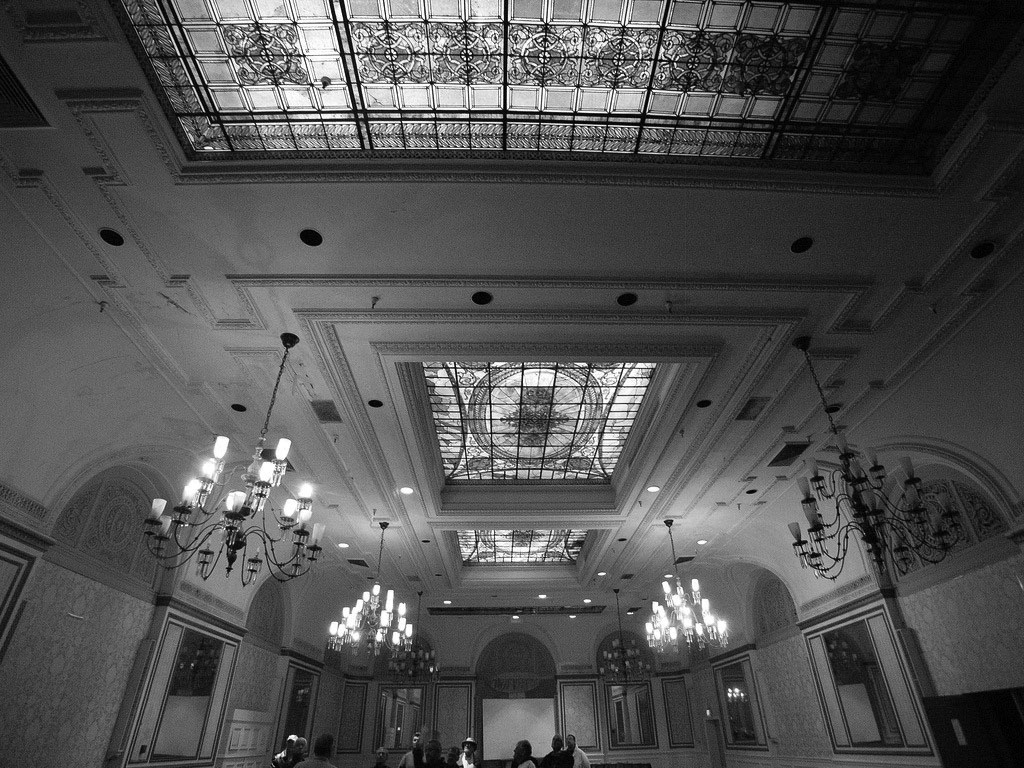 |
|
| (2008)^* – View looking up at the ceiling of Palm Court in the Alexandria Hotel. |
Historical Notes The Palm Court, by the early 1970s, was in relatively good shape, and was declared as a city historic-cultural landmark on March 3, 1971. By this time, there had been a gradual westward movement of the entire downtown business district. The old heart of Los Angeles along Broadway was abandoned and a new downtown grew up west of the Biltmore along Figueroa. The hotel was gradually transformed into a Single Room Occupancy or SRO hotel, housing long-term low-income residents. Its location near Los Angeles's Skid Row meant that it had long since ceased to attract overnight guests. During this period the building became notorious for drug crime and its generally dangerous character.^ |
* * * * * |
California Club (5th and Hill)
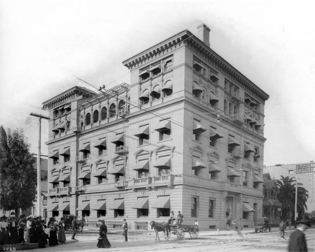 |
|
| (ca. 1905)^ - View showing the five-story California Club Building located on the northwest corner of Fifth and Hill streets. Awnings open over nearly every window in the building. Pedestrians and horse-drawn carriages fill the busy intersection while an early model automobile is parked at the curb on the right. Palm trees stand near an adjacent Victorian house. |
Historical Notes The California Club is a private social club that was incorporated on December 24, 1888. The first organizational meeting was held September 24, 1887, "in Justice Austin's courtroom," with N.C. Coleman as chairman and H.T. De Wilson as secretary. The club's first location was in the second-floor rooms over the Tally-Ho Stables on the northwest corner of First and Fort (Broadway) streets, where the Los Angeles County Law Library now stands. It moved to the Wilcox Building on the southeast corner of Second and Spring streets in 1895, occupying the two top floors, the fourth and fifth. The building was distinguished as the first in Los Angeles to have two elevators — one for the public and the other for members. The men's dining room, reading room, bar and lounge were on the top floor. On the floor below was the ladies' dining room. The club remained at the Wilcox Building for ten years. Increased membership impelled the club to seek a new location in the southward and westward direction of the expansion of the city. In 1904 the club's headquarters were moved to a new five-story building with a basement and a roof garden on the northwest corner of Fifth and Hill streets. |
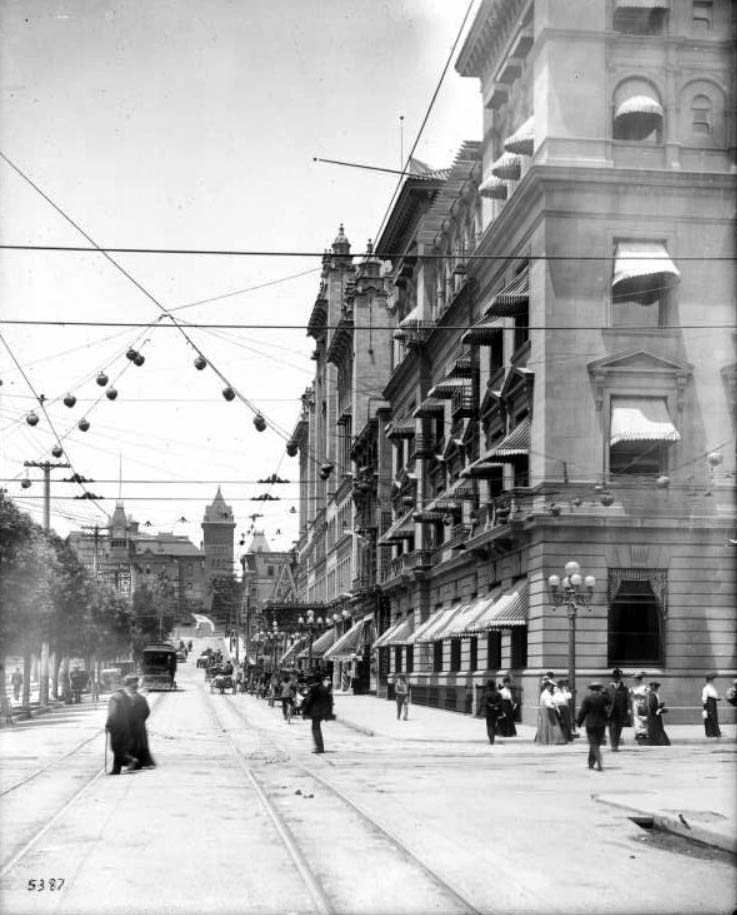 |
|
| (1908)^ - Looking west on 5th Street at its intersection with Hill Street where the California Club Building stands on the northwest corner. Behind it is the six-story Auditorium Building (built in 1906) on the corner of 5th and Olive streets). Pershing Square is visible on the left and the State Normal School, on the present site of the L.A. Central Library, is seen at the end of 5th Street in the background. |
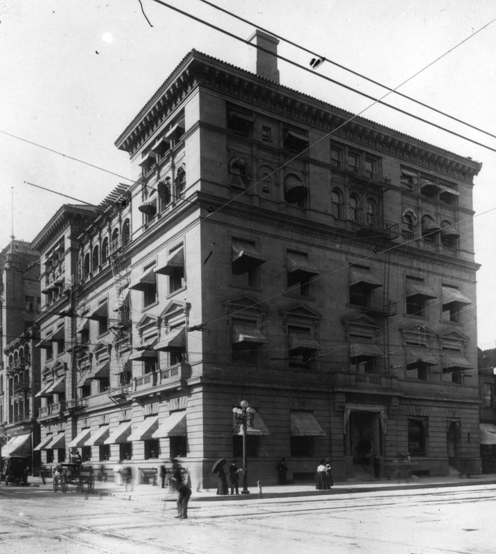 |
|
| (1910s)* – View of California Club Building on the northwest corner of Hill and 5th Streets. A horse-drawn wagon and early model car is parked by he curb in front of the 5th Street side of the building. |
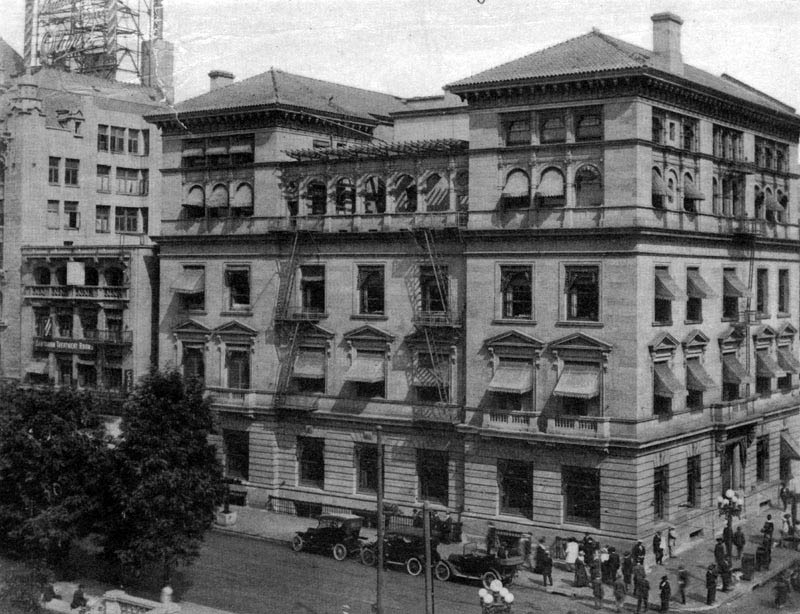 |
|
| (ca. 1917)* - View of the old California Club Building on the northwest corner of Hill and 5th streets. |
.jpg) |
|
| (1928)^ - California Club Building, 5th & Hill Street. Examiner clipping attached to verso reads: "Historic California Club Building at Fifth and Hill Streets, which has been sold. Skyscraper is to be erected by Title Guarantee and Trust Company on the site." The larger signboard in the background belongs to the Auditorium Building (Fifth and Olive). |
.jpg) |
|
| (1930)* - View of the California Club Building at the start of its demolition. Sign on face of building reads: WATCH IT GO! |
Historical Notes In 1930, the California Club moved into a new larger building located at 538 S. Flower Street. The building would then be demolished to make way for the construction of the Title Guarantee & Trust Building (1931). Click HERE to see the California Club Building (1930 - Present) |
* * * * * |
Auditorium Building (aka Temple, Clune's, and Philharmonic Auditorium)
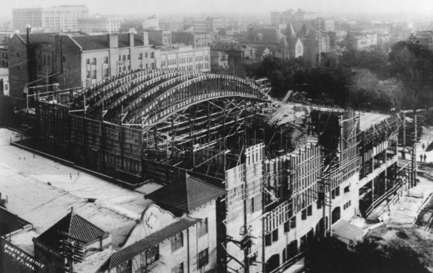 |
|
| (1906)* - Construction of the Auditorium Building (later the Philharmonic Auditorium) and the Temple Baptist Church. View is from above showing the skeleton arches of the roof, March 27, 1906. Central Park (later Pershing Square) can be seen to the upper right of the photo across the street from the Auditorium Building. |
Historical Notes The six-story building, addressed, 427 W. 5th Street (5th and Olive) was funded by the Temple Baptist Church and some neighborhood businessmen, would be the first large reinforced concrete structure in Los Angeles and the biggest theatre west of Chicago. It would also be recognized as the first large space to have a balcony without supporting columns. This building replaced an older building called Hazard's Pavilion and was dedicated in 1906. |
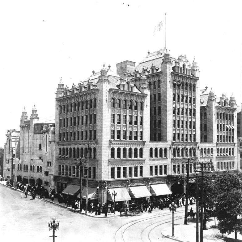 |
|
| (ca. 1906)* - View of the Auditorium Building shortly after it was completed. There is a line of people on both sides of the building with a horse-drawn carriage parked in front. Across 5th Street, in front of the park, is a man on a horse. |
Historical Notes Opened in 1906 as the Temple Auditorium with a production of "Aida." It was a $350,000 project funded by the Temple Baptist Church and local businessmen. The building was built on the site of the 1887 Hazard's Pavilion. |
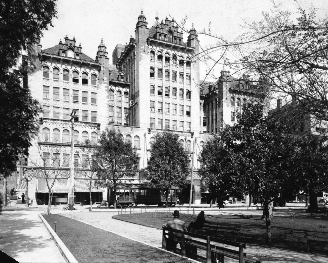 |
|
| (1906)* - View of the Philharmonic Auditorium, located at Fifth Street and Olive Street, showing Central Park (later Pershing Square) in the foreground. |
Historical Notes The eight story building had retail on the 5th Street side, a basement banquet hall, two 950 seat halls on the second floor, 118 office/studio spaces plus the main auditorium. |
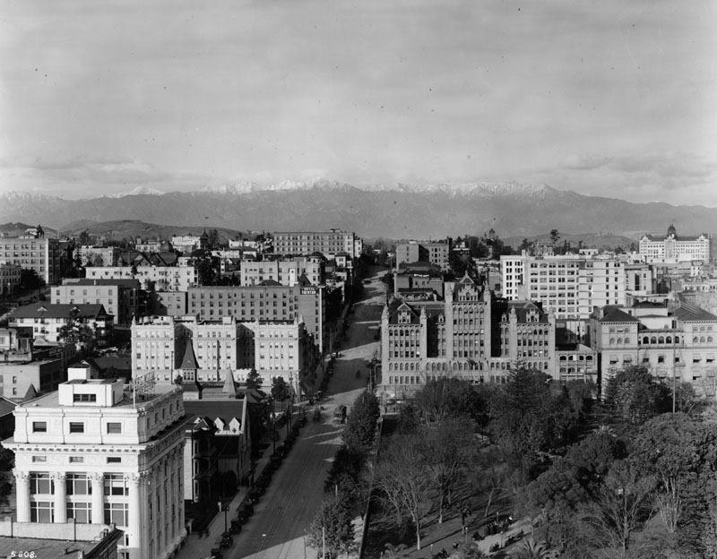 |
|
| (1913)* - Panoramic view of Olive Street looking north from 6th Street toward snow-capped mountains. The Auditorium Building stands at center of photo across Pershing Square. At left is the Pacific Mutual Life Insurance Building with the columns. |
Historical Notes The following is the chronology of names for the Auditorium Building located on the northeast corner of 5th and Olive Street: Temple Auditorium (1906-1914): The building opened on November 7, 1906, under this name. It was constructed for the Temple Baptist Church and a group of investors at a cost of $350,000. Clune's Auditorium or Clune's Theatre Beautiful (1914-1920): In 1914, showman William H. "Billy" Clune leased the auditorium to exhibit silent films. During this period, it was often referred to by these names. Philharmonic Auditorium (1920-1964): The Los Angeles Philharmonic Orchestra began using the venue as its home in 1920, leading to this new name. It remained known as the Philharmonic Auditorium for over four decades. Auditorium Building (1964-1985): After the Los Angeles Philharmonic moved to the newly opened Dorothy Chandler Pavilion in 1964, the building was simply referred to as the Auditorium Building. |
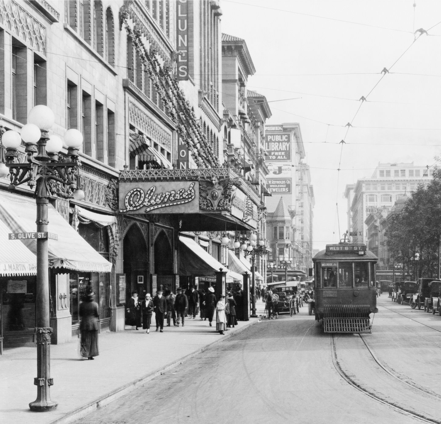 |
|
| (1914)* - View looking east on 5th Street at the corner of 5th and Olive. The Clune's Auditorium is seen on the north side of 5th Street across from Pershing Square. A horse-drawn carriage is seen parked by the curb while a streetcar is in the middle of the road. Note the details on the ornate streetlight on the corner. Click HERE to see more in Early Los Angeles Streetlights. |
Historical Notes In 1914, the theatre was leased to pioneer showman Billy Clune and became the grandest movie palace west of New York. There was (still) church on Sundays, lots of concerts, and feature films with elaborate prologues. |
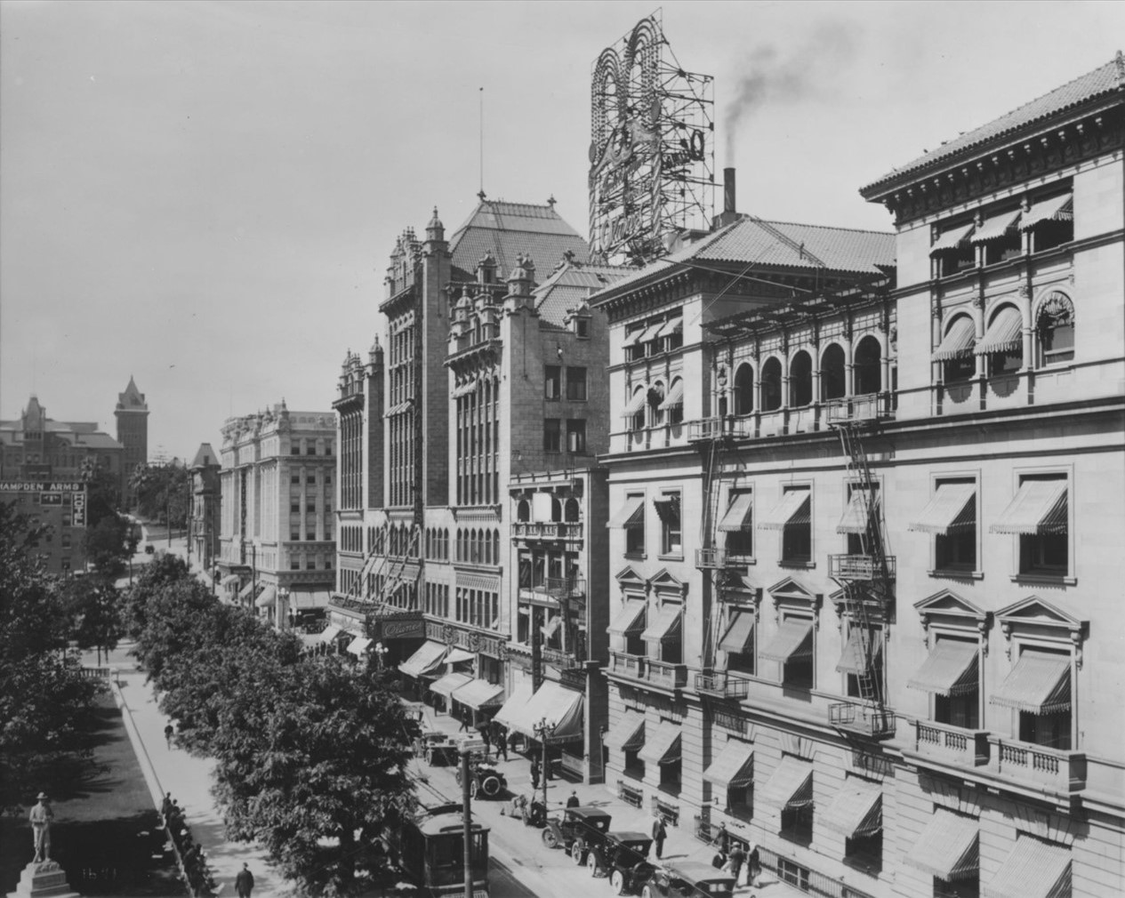 |
|
| (1915)* - View looking west on 5th Street toward Olive. The tall building in center of photo is Clune's Auditorium. The California Club is at right and across the street is Central Park (Pershing Square). The State Normal School building with its pointed towers can be seen at the end of 5th Street at Grand Ave (Current location of the L.A. Central Library). |
Historical Notes Clune's Auditorium was much influenced by the design of Sullivan's Auditorium Theatre in Chicago. The eight story building had retail on the 5th Street side, a basement banquet hall, two 950 seat halls on the second floor, 118 office/studio spaces plus the main auditorium. The theatre was used on Sundays by the Temple Baptist Church. |
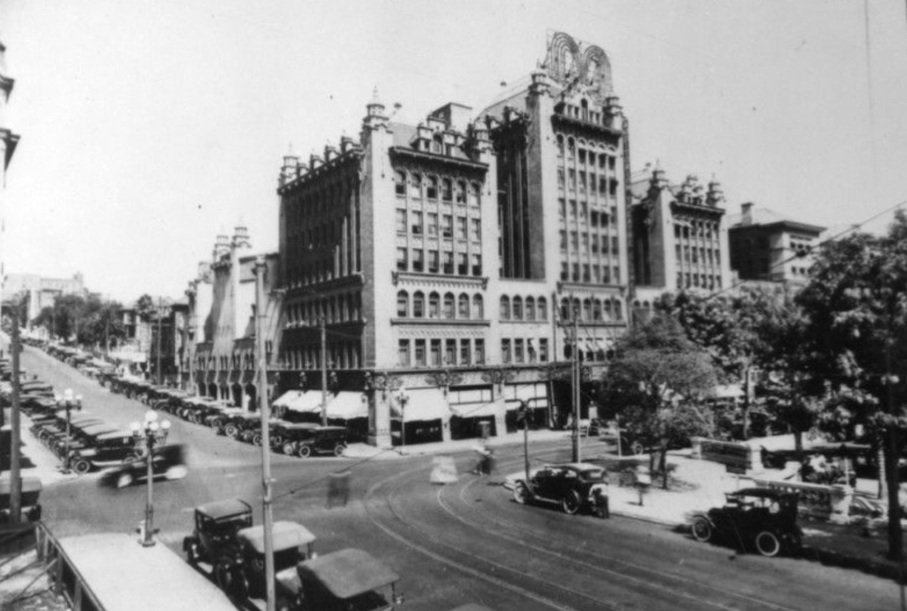 |
|
| (1920)* - View looking north on Olive Street at 5th Street. The Auditorium Building (also known as the Philharmonic Auditorium) is seen on the northeast corner of the intersection, across the street from Pershing Square. |
Historical Notes The building was known until 1920 as Clune's Auditorium and (sometimes) Clune's Theatre Beautiful. Even though its movie career was brief, given the size of the theatre, the impressive architecture and Clune's dazzling productions, this building ranks as the first true Los Angeles movie palace. Clune used a 20 piece orchestra and reserved the biggest pictures he could get for this venue. |
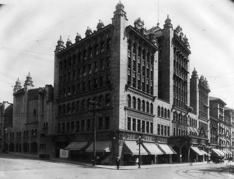 |
|
| (ca. 1920s)* - Exterior view of the Olive-5th streets corner of the Philharmonic Auditorium Building. Auditorium was as also used by the Temple Baptist Church. The Los Angeles Philharmonic Orchestra would play in this Auditorium from 1920 until 1964 when it moved into the newly built Dorothy Chandler Pavilion. |
Historical Notes In 1920, the Los Angeles Philharmonic moved into this building in the orchestra's second year of existence. The Los Angeles Philharmonic was founded by William Andrews Clark Jr., a multi-millionaire and amateur musician, who established the city’s first permanent symphony orchestra in 1919. After playing its first season at Trinity Auditorium at Grand Ave and Ninth Street, the Los Angeles Philharmonic moved into the 5th Street and Olive Ave auditorium in 1920. The venue had previously been known as Clune's Auditorium but was renamed Philharmonic Auditorium after the move. The LA Philharmonic stayed here until 1964 when it moved into the Dorothy Chandler Pavilion. |
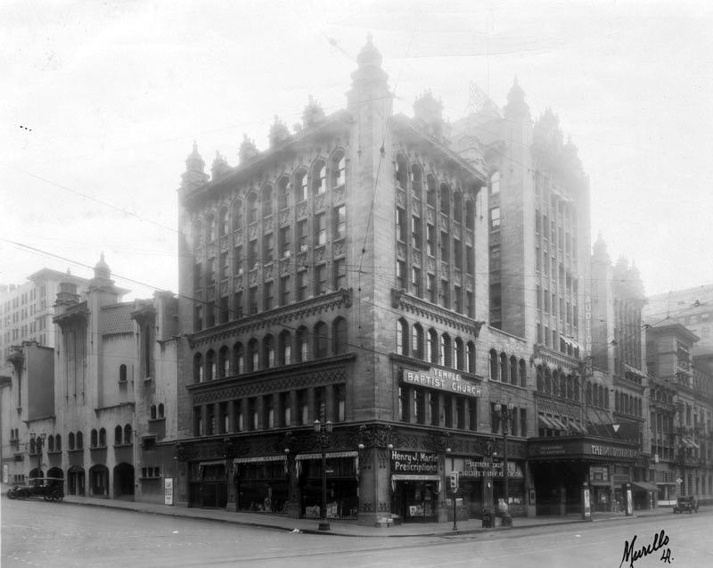 |
|
| (ca. 1920)* - View of the Auditorium Building on the northeast corner of 5th and Olive streets. The corner store on the ground floor has a sign that reads: “Henry J. Martin Prescriptions”. Above it is another sign attached to the face of the building: “Temple Baptist Church.” There is a very large overhang by the front entrance with a marquis that reads: “THE AUDITORIUM". |
Historical Notes Note how the overhead lines have been removed and streetlights upgraded when compared to previous photo. |
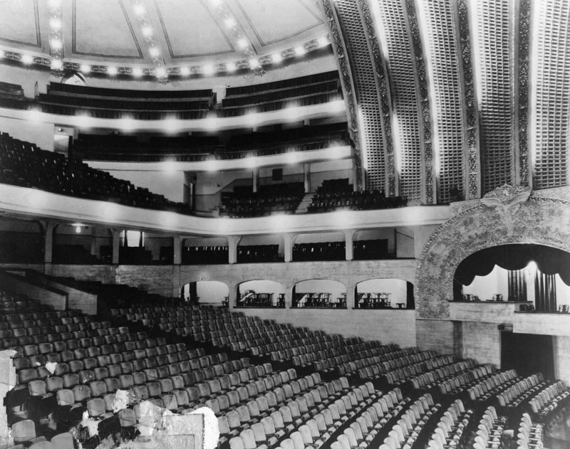 |
|
| (ca. 1920s)* - Interior view of the auditorium inside the Philharmonic Auditorium Building. |
Historical Notes Architects: Charles F. Whittlesey, Otto H. Neher and engineer E.R. Harris designed what was the first reinforced concrete building in Los Angeles and the largest theatre west of Chicago. It was structurally advanced for its time and used no columns to support the balcony. |
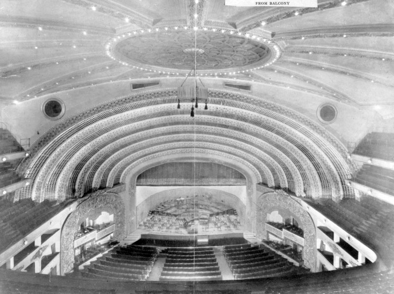 |
|
| (ca. 1920)* - Interior of Philharmonic Auditorium located at Fifth Street and Olive Ave. View is from the rear balcony toward the stage. |
Historical Notes This is where the LA Philharmonic played until the Dorothy Chandler Pavilion opened in the mid-1960s. |
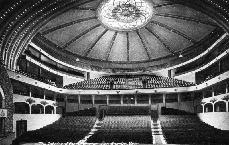 |
|
| (ca. 1920)* - View of the Philharmonic Auditorium interior as seen from the stage. |
Historical Notes The Philharmonic Auditorium was also used for Broadway shows produced by the Los Angeles Civic Light Opera for 27 seasons. After the LACLO and the LAPhil moved to the Music Center in 1964, the building was again known as Temple Baptist Church. The following is the chronology of names for the Auditorium Building located on the northeast corner of 5th and Olive Street: Temple Auditorium (1906-1914): The building opened on November 7, 1906, under this name. It was constructed for the Temple Baptist Church and a group of investors at a cost of $350,000. Clune's Auditorium or Clune's Theatre Beautiful (1914-1920): In 1914, showman William H. "Billy" Clune leased the auditorium to exhibit silent films. During this period, it was often referred to by these names. Philharmonic Auditorium (1920-1964): The Los Angeles Philharmonic Orchestra began using the venue as its home in 1920, leading to this new name. It remained known as the Philharmonic Auditorium for over four decades. Auditorium Building (1964-1985): After the Los Angeles Philharmonic moved to the newly opened Dorothy Chandler Pavilion in 1964, the building was simply referred to as the Auditorium Building. |
* * * * * |
Hotel Lankershim
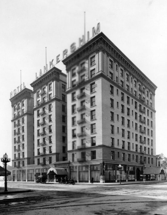 |
|
| (1906)* - Two sides of the Hotel Lankershim are viewed from half a block away. The luxury hotel was located at 230 West 7th Street, on the SE corner of 7th and Broadway. The building above the first floor is in three separate but connected towers. Architect: Robert B. Young. |
Historical Notes The 9-story Hotel Lankershim was completed in 1905 as an imitation of the Hotel St. Francis in San Francisco--far superior to any other hotels in L.A. at the time. It had 200 servants, 250 rooms, and 160 baths. Before the hotel was begun in 1902, there was a vineyard. The 7th and Broadway site was the home and vineyard of Judge Wilson Hugh Gray.*#^^ Architect Robert B. Young also designed several other hotels including the Hollenbeck, the Lexington, and the Westminster. |
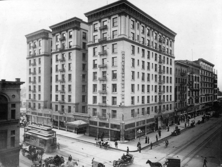 |
|
| (ca. 1910)* - Horse-drawn wagons, streetcars, autos, and pedestrians all share the road in front of the Hotel Lankershim at the intersection of 7th and Broadway. |
Historical Notes James Boon Lankershim was the son of Isaac Lankershim, a German-born Californian landowner who owned 60,000 acres in the San Fernando Valley. James joined his father's company, the San Fernando Farm Homestead Association, together with his brother in law, Isaac Newton Van Nuys, focusing on real estate while Van Nuys focused on wheat. In 1905, he built the Lankershim Hotel on the southeast corner of Broadway and 7th Street. He also built the San Fernando Building on the corner of 4th Avenue and Main Street, where his name is embedded in the tiles at the entrance. |
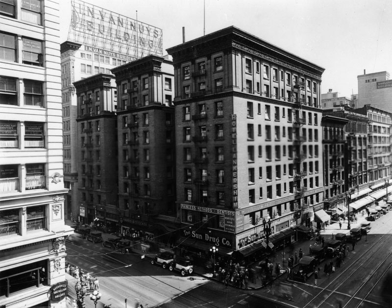 |
|
| (1925)* - A view of the intersection of 7th and Broadway. On the southeast corner is the three-tiered Hotel Lankershim, and on the street level of the same building is the Sun Drug Co. The lower level buildings shown in earlier pictures have been replaced by multi-story buildings, including the one across the street (left side of the picture) which became a bank. |
Historical Notes Seismic studies apparently finished the hotel before its 80th birthday. In the mid-1980s, the order was signed to bring down the top seven of its nine floors. No one had lived in them for years because they'd been deemed unsafe since the 1971 Sylmar quake. |
* * * * * |
The Broadway Department Store (1st Building)
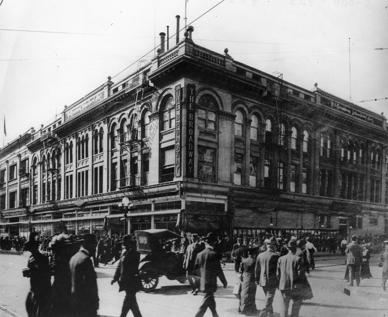 |
|
| (ca. 1906)* – View showing the original Broadway Department Store located on the corner of 4th and Broadway. A crowd of pedestrians are seen crossing the street as an early model car waits in the middle of the intersection. A second story window advertises Broadway's millinery department. Advertisements for products line the top of the display windows. |
Historical Notes Arthur Letts, founder of The Broadway, was born in the small town of Holdenby, Northamptonshire, England, in 1862, and went on to become one of the richest and most influential men in Southern California.*#^ Letts arrived in the Los Angeles, California area in 1896. At the corner of Fourth and Broadway, then on the far southern edge of the downtown Los Angeles business district, the J. A. Williams & Co. Dry Goods Store had gone bankrupt. With the help of an influential friend, who was impressed with Letts’ knowledge of that type of business, a loan of $5000 was secured from the Los Angeles National Bank, and opened his business on February 24, 1896. He named the department store The Broadway.^* |
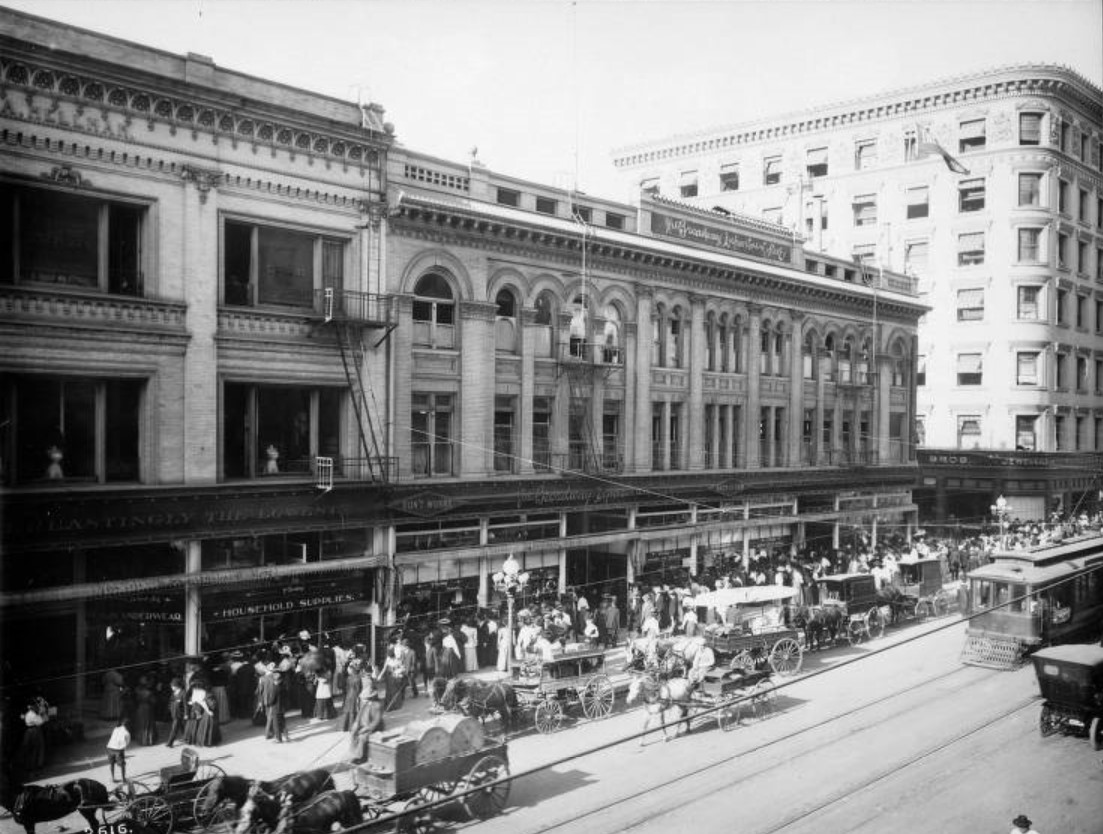 |
|
| (1910)#^* - View showing The Broadway Department Store with throngs of people on the sidewalk. Horse-drawn wagons and carriages share the street with a trolley car and an early model auto. |
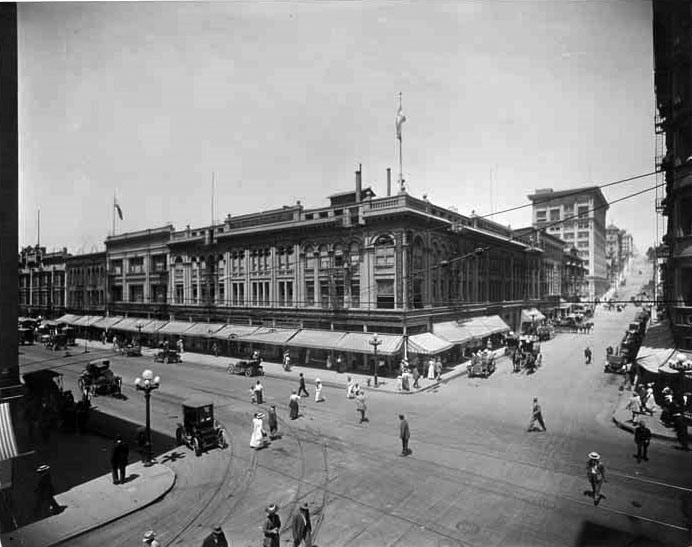 |
|
| (ca. 1910)^*# - View looking at the southwest corner of 4th and Broadway. The Broadway Department Store, complete with awnings stands at the corner. People are seen crossing the intersection in all direction. Note the odd shaped vehicle in the lower left. It is an all-electric car built by Baker Motor Vehicle Company. |
Historical Notes The Broadway outgrew the handsome building it occupied, and in 1913 revealed plans to demolish half of its structure and take over space in the adjacent Clark Hotel building, which fronted on Hill Street. In place of the old building would be erected a 9-story department store building “in a commercial adaptation of the Italian Renaissance style.” *#^ |
The Broadway Department Store (2nd Building)
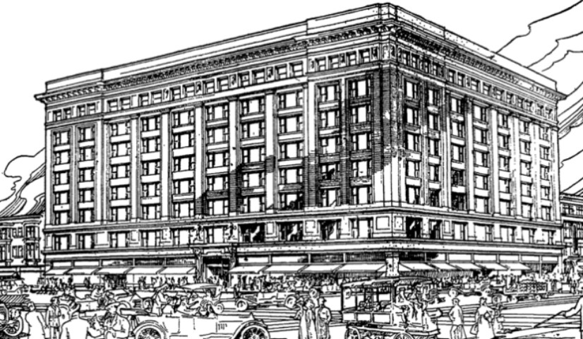 |
|
| (1913)*#^ - Illustration of The Broadway used in the press, prior to its 1913 opening. |
Historical Notes The company stated at the time that “the earth will be ransacked for merchandise” to fill the 470,000 sq. ft. building. When the first half of the planned structure opened in February of 1914, the Los Angeles Times described it as an “imposing and harmonious structure.” *#^ |
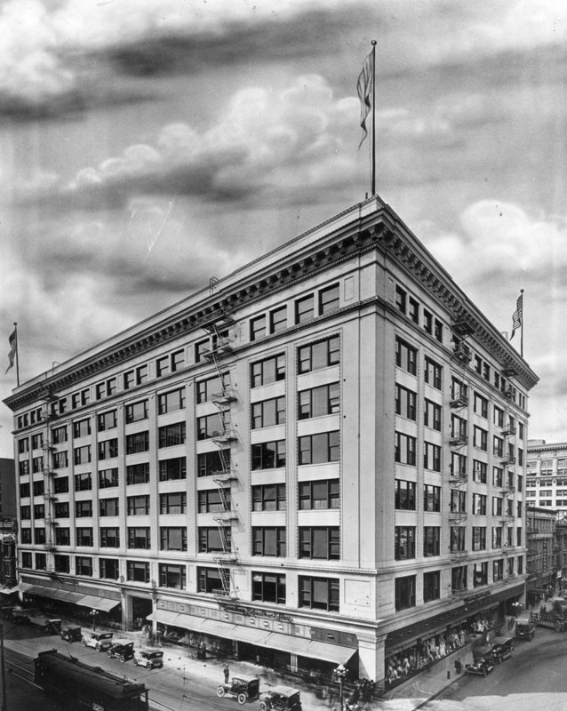 |
|
| (1915)* - Exterior view of the new 9-story Broadway Department Store building, as seen on July 1915. |
Historical Notes In 1912, Arthur Letts, owner of the Broadway department store built the present building (seen above) at 4th and Broadway, which included 460,000 square feet of retail space. This big box was based on volume selling, which was made possible by its location at the hub of the regional electric railway transportation system. The Broadway was oriented to "budget-conscious" shoppers.*^## The Beaux Arts building with its restrained Italian Renaissance Revival ornamentation was the work of architects John Parkinson and Edwin Bergstrom. The two also collaborated on the Security Trust and Savings Bank and the Los Angeles Athletic Club. #^*# |
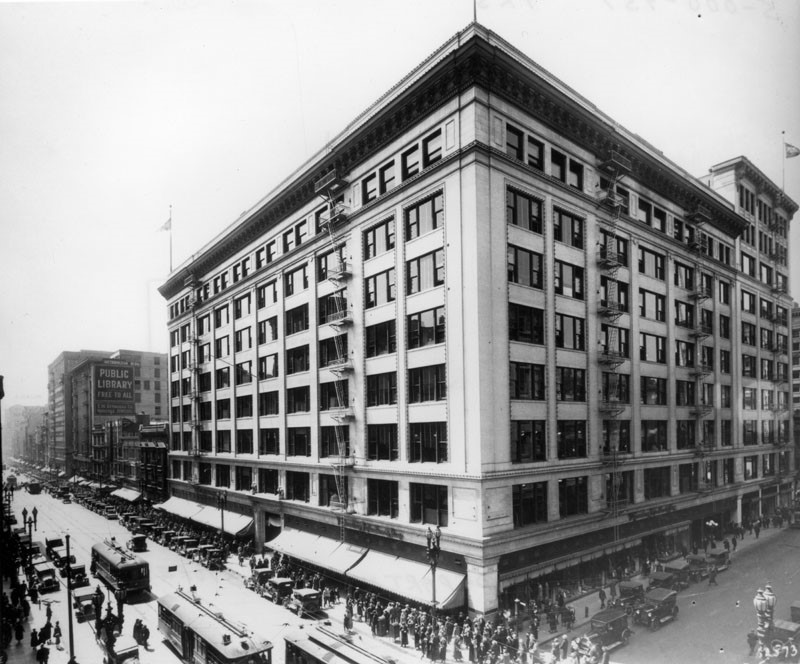 |
|
| (1922)* - View of The Broadway Department Store on the southwest corner of 4th and Broadway. Crowds of people are seen walking on the sidewalk as well as automobiles parked along the curbs. |
Historical Notes Arthur Letts was also a major real estate speculator. He owned a huge chunk of land in East Hollywood (where his mansion was located) and bought up the remnants of a large Mexican ranch in the foothills west of Beverly Hills in 1919. He created Westwood Village and Holmby Hills on part of this land in the late '20s.*^## |
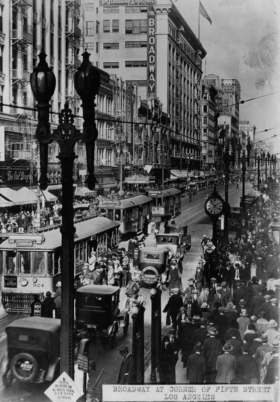 |
|
| (ca. 1920s)* - A busy scene with pedestrians and city traffic in this view of Broadway and 5th looking north, showing the many retail stores that line the street. The Broadway Department Store with its new sign stands out in the background. Several trolleys have stopped in the middle of the road, cars line both sides of the street, and an overflow of pedestrians fill the sidewalks as far as the eye can see. Notice everyone wears hats - men, woman and children alike. |
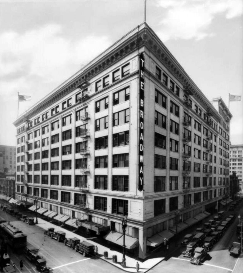 |
|
| (1930)^ – View showing the Broadway Department Store building with American flags on all four corners. Photo by Dick Whittington. |
Historical Notes The Broadway became one of the dominant retailers in Southern California and the Southwest. In 1950, the company merged with Sacramento-based Hale Brothers to form Broadway-Hale Stores.^* |
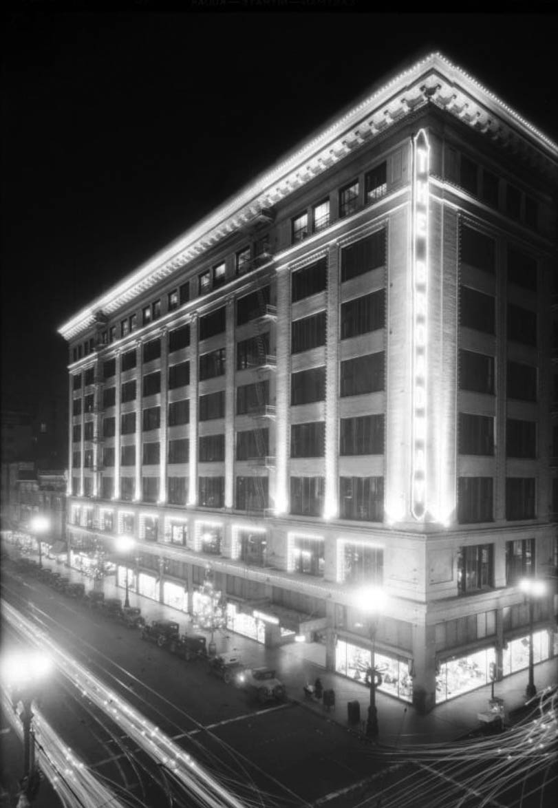 |
|
| (1930)^ – Night view of The Broadway Department Store, southwest corner of Broadway and 4th Street. |
Historical Notes The Broadway bought out competitors in Los Angeles (B.H. Dyas, Milliron's, and Coulter's), San Diego (Marston's), and Phoenix (Korrick's). In later years The Broadway opened stores in Nevada (Las Vegas), New Mexico, and Colorado. In 1979, it was split into two divisions: The Broadway Southern California, based in Los Angeles; and Broadway Southwest, headquartered in Phoenix (for the non-California stores).^* |
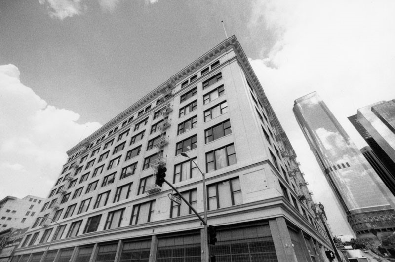 |
|
| (1999)* - Renovated old Broadway Department Store building, now a state office building and renamed Junipero Serra Building, 4-1-99. |
Historical Notes In 1973 The Broadway closed this location and the building sat vacant for over twenty years, during which it faced extensive vandalism and damage from aborted remodel attempts. The State of California purchased the building in 1995 a part of Governor Pete Wilson's plan to move 3,500 state workers into the historic core of Downtown. In 1999 it reopened as the Junipero Serra Building, a modern 350,000- square-foot office building, occupied by 1,700 employees. It was the lowest-cost California State office building in three decades and received a Conservancy Preservation Award in 2000. |
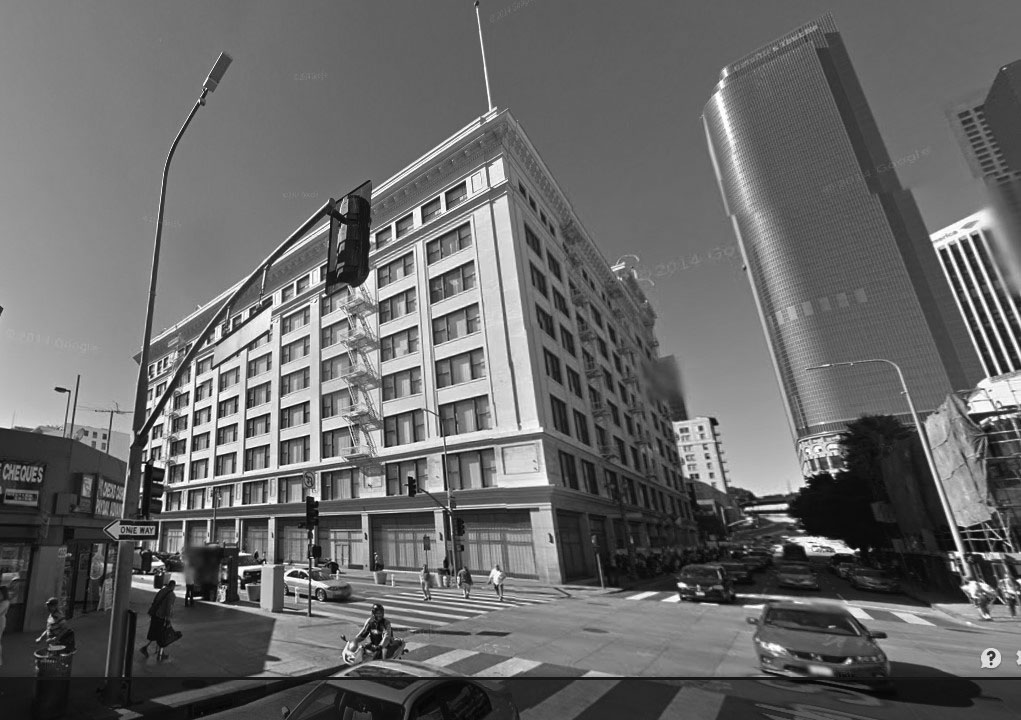 |
|
| (2014)#^^* – Google street view showing the old Broadway Building (now Junipero Serra Building), S/W corner of 4th and Broadway. |
Historical Notes The Broadway's parent Carter Hawley Hale Stores ran into financial difficulties which resulted from poor management decisions and hostile takeover attempts. In 1996 the chain was acquired by Federated Department Stores and the majority of locations were converted to the Macy's nameplate. Several stores in affluent areas where Macy's already had locations were closed, refurbished and reopened as Bloomingdale's, while Federated sold many of the remaining stores to Sears. As of April 2011, Strategic Marks, LLC has obtained 'The Broadway' trademark and plans on re-introducing the famous department store name as part of a virtual mall, along with other nostalgic stores such as The Bon Marche, Joseph Magnin, Robinson's Department Store, Filene's, Abraham and Strauss and many others. The goal is to bring back the great department stores of the 20th century, with the hopes of re-opening the actual 'Brick and Mortar' stores throughout the US.^* |
* * * * * |
Lankershim Flats
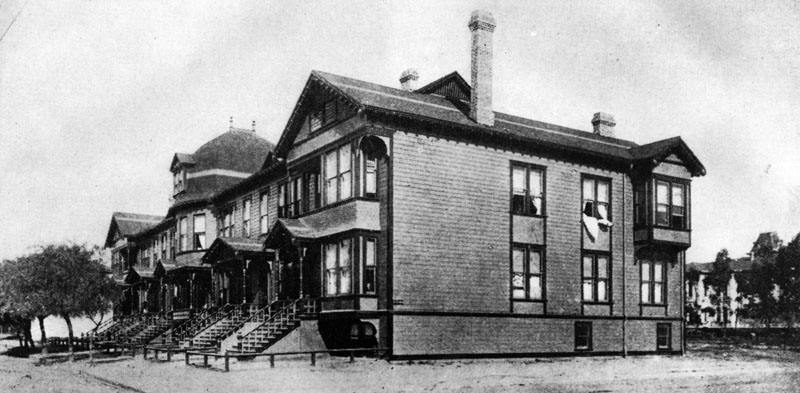 |
|
| (ca. 1900s)* - View of the Lankershim Flats which occupied the corner of 7th and Broadway for many years. They were removed to make room for the building of a department store--Bullock's. |
Historical Notes The Lankershim Flats was James Boon Lankershim’s first hotel located at 7th and Broadway. He would sell the property and build his second hotel, the Lankershim Hotel, across the street. In 1906, the building would be demolished to make way for John Bullock’s seven-story department store. |
* * * * * |
Bullock's Downtown
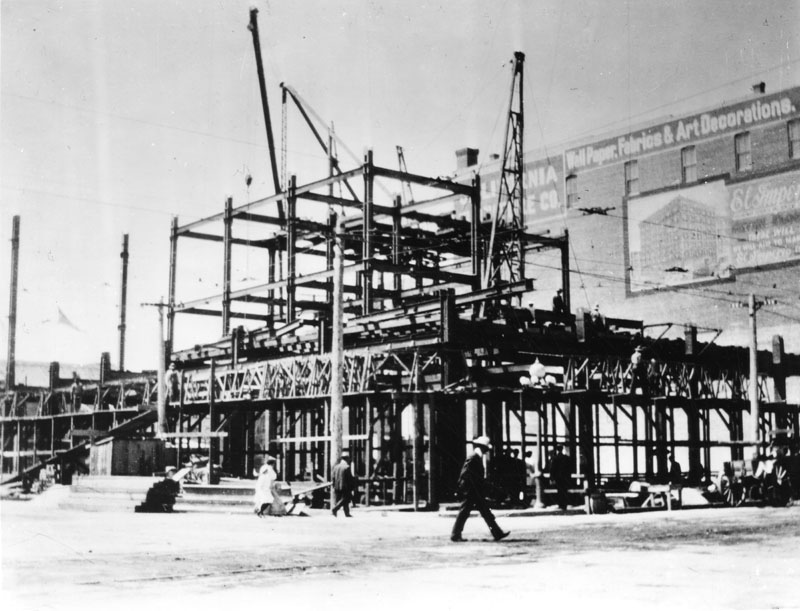 |
|
| (ca. 1906)* - The early stages of construction of the seven-story Bullock's department store located on the northwest corner of Broadway and 7th Street. Workers can be seen at the base of the structure's frame and pedestrians are seen walking past. This Bullock's Building was constructed kitty-corner from the Hotel Lankershim. |
Historical Notes Bullock's was founded in 1907 at Seventh & Broadway in downtown Los Angeles by John G. Bullock, with the support of The Broadway Department Store owner Arthur Letts.^* |
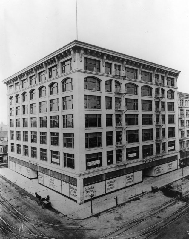 |
|
| (1907)* - The Bullock's department store in the final stages of construction on the corner Broadway and 7th Street. Signs on the bottom floor announce "Bullock's opens about March 1st." A horse-drawn wagon is at the curb and some construction is still occurring in the street. The building includes a basement, a roof garden and a children's playground. |
Historical Notes The original Bullock’s Department Store was designed by the architectural firm of Parkinson and Bergstrom and opened in March 1907 at 639-657 South Broadway.^##^ |
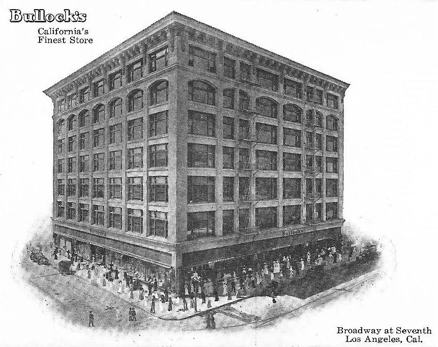 |
|
| (1907)#*^# – Postcard view showing the Bullock’s Department Store at its grand opening. |
Historical Notes In 1907, John Gillespie Bullock and Percy Glen Winnet opened Bullock’s at the corner of 7th & Broadway Streets in downtown Los Angeles. The two had worked at The Broadway and convinced Arthur Letts, Sr, founder of The Broadway to back them in this new retail venture targeting the more up-scale customer. The store grew over the years as it acquired buildings on 7th Street between Hill and Broadway; one of the buildings was a competing department store. In 1923, John Bullock and P. G. Winnet bought out Arthur Lett’s interest. #*^# |
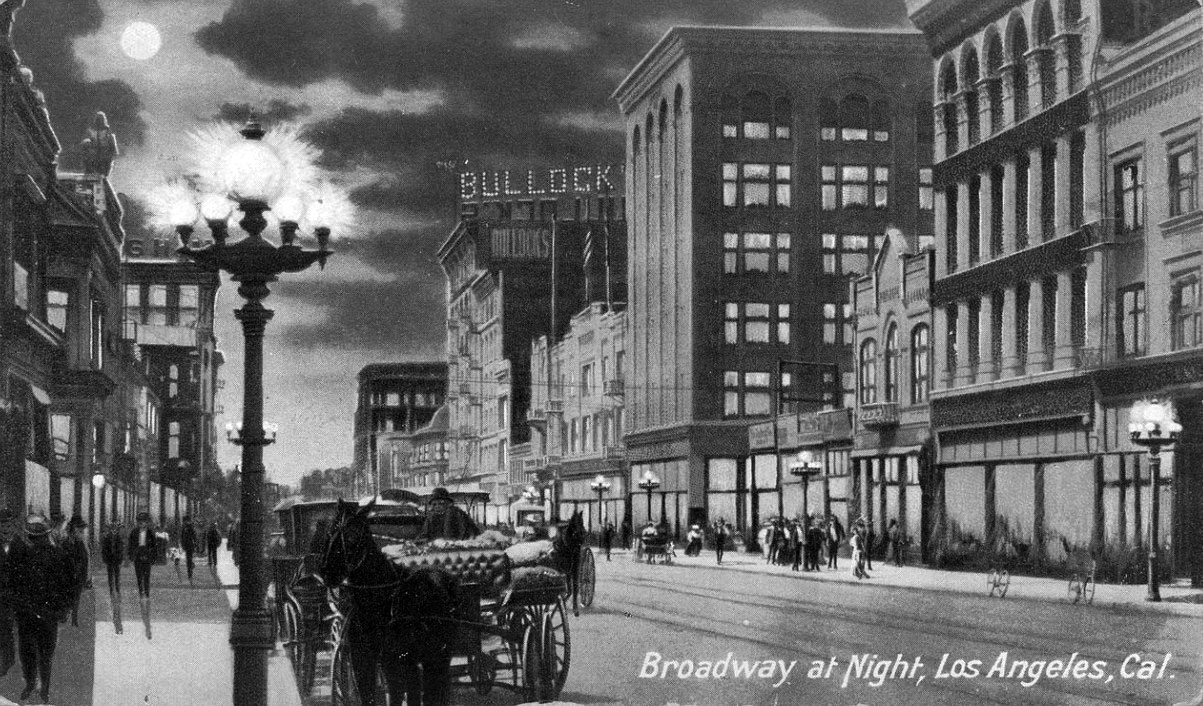 |
|
| (ca. 1908)^– Postcard view looking south on Broadway at night with the Bullock’s Department Store building in the background located at the northwest corner of Broadway and 7th Street. |
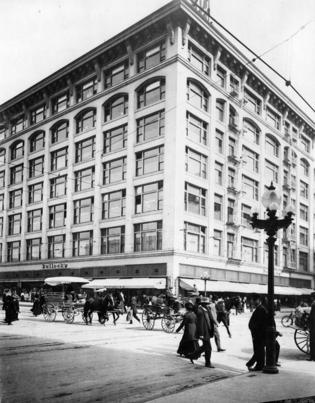 |
|
| (1910)* - Horse-drawn carriages and pedestrians share the road at the intersection of Broadway and 7th Street. Bullock's Department Store can be seen across the street. |
Historical Notes Bullock’s flagship store proved so successful that it expanded quarters in 1912. The company purchased adjacent buildings in 1917 and 1919 for a total of 460,000 square feet. By 1920 Bullock’s and Robinson’s functioned as anchors to an elite shopping precinct that was unprecedented in Los Angeles.^* |
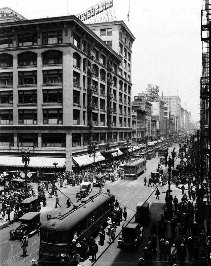 |
|
| (ca. 1924)^ – View looking toward the northwest corner of Seventh Street and Broadway showing the newly expanded Bullocks Department Store. The sidewalks are crowded with pedestrians, while streetcars and automobiles can be seen in the road. |
Historical Notes Between 1923 and 1928, Bullock’s added an additional 400,000 square feet through the construction of three more additions while also purchasing two adjacent buildings.^* |
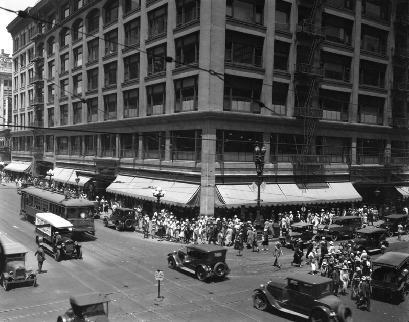 |
|
| (ca. 1928)^ - Crowds of pedestrians are crossing the street in front of the Bullock's department store. A policeman is directing traffic in the lower left of photo. |
Historical Notes In 1923, John G. Bullock and business partner P.G. Winnett bought out Arthur Letts' interest after his death and the companies became completely separated. In 1929 Bullock & Winnett opened a luxury branch on Wilshire Boulevard, named Bullock's Wilshire.^##^ |
.jpg) |
|
| (1930s)*^# – Postcard view showing the collection of connected structures, all part of Bullock's, at the corner of Hill and 7th Streets. The corner building at 650 N. Hill Street is 10-storys tall and was begun in 1928. |
Historical Notes A seven story building anchored the corner of Broadway and 7th Streets. The Broadway and Hill buildings were connected by an alleyway known as St. Vincent's Court. The store caused controversy when it wanted to connect its structures above this passage, but ultimately prevailed.*#^ |
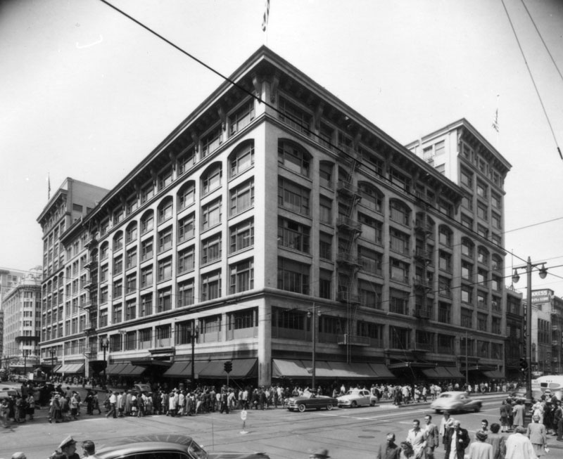 |
|
| (1951)^ - Corner of 7th and Broadway with Bullock's Department Store. A large crowd of pedestrians is in front of the store and crossing the street. Cars, including a convertible, are waiting for the pedestrians to pass in order to turn the corner. |
Historical Notes Bullock’s Downtown closed in 1986. The building is now the St. Vincent's Jewelry Center.* |
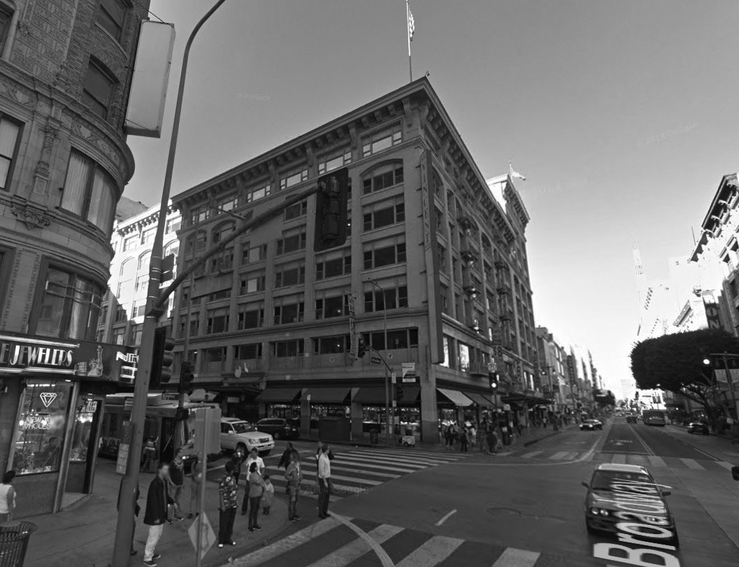 |
|
| (2014)#^^* – Google street view showing the old Bullock’s building, now the St. Vincent’s Jewelry Center, on the northwest corner of Broadway and 7th Street. |
* * * * * |
Hellman Building
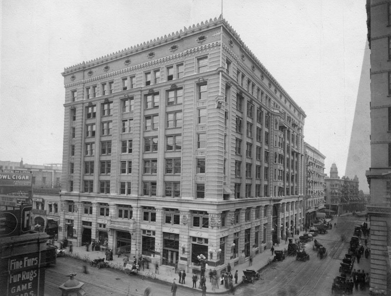 |
|
| (ca. 1906)* - Exterior view of the H. W. Hellman Building, located on the northeast corner of 4th and Spring Streets. The Hotchkiss Theater appears to the left of the building on Spring Street. |
Historical Notes In 1903, Herman W. Hellman hired architect Alfred Rosenheim to design the Hellman Building named in his honor. The eight-story building in Downtown Los Angeles still stands today, on the corner of Fourth Street and Spring Street.^* |
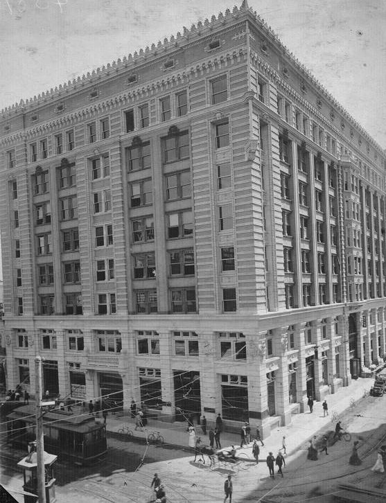 |
|
| (ca. 1906)^ – Close-up view showing the H.W. Hellman Building on the northeast corner of 4th and Spring streets. Pedestrians are seen crossing the busy intersection. Also a streetcar shares the road with a horse-drawn carriage, bicycles, and early model autos. |
Historical Notes Herman W. Hellman was born on September 25, 1843 in Reckendorf, Bavaria. He emigrated to the United States with his brother Isaias W. Hellman, arriving in Los Angeles on May 14, 1859 as a sixteen-year-old. He started working as a courier from Wilmington to Los Angeles. In 1861, he worked for his uncle, Samuel Hellman, who had a store in Los Angeles. Shortly after, he opened his own store at Downey Block. He established a wholesale grocer's called Hellman, Haas, & Co. with Jacob Haas, the brother of Abraham Haas. They sold groceries in Southern California, Arizona, New Mexico and Texas. As his business prospered, he became one of the wealthiest men in Los Angeles by the 1880s. The company later became known as Baruch, Haas, & Co. In 1890, H. W. Hellman became Vice President and General Manager of The Farmers and Merchants Bank, a bank established by his brother. He was later demoted by his brother, who found his lending practices too lenient. He resigned in 1903, and became the President of the Merchants National Bank instead. He also became a co-founder of the Los Angeles Chamber of Commerce. Hellman also served as President of the Congregation B'nai B'rith, later known as the Wilshire Boulevard Temple.^* |
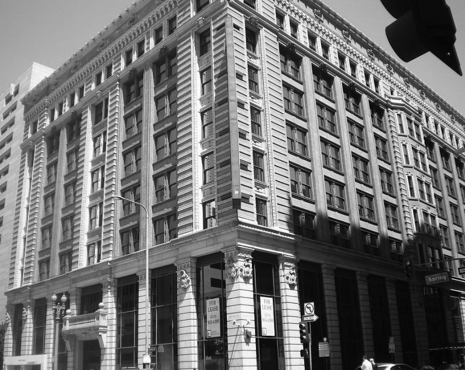 |
|
| (2008)^* - View showing the Hellman Building located on the N/E corner of Spring and 4th streets. |
.jpg)
Historical Notes In 2002, the Hellman Building was dedicated Los Angeles Historic-Cultural Monument No. 729 (Click HERE to see complete listing. |
* * * * * |
Farmers and Merchants Bank Building
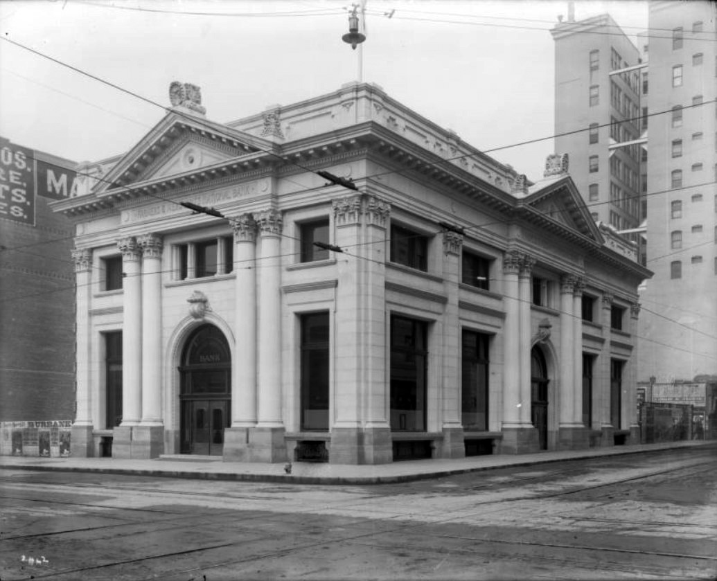 |
|
| (ca. 1908)^ – View showing the Farmers and Merchants National Bank located on the southwest corner of Main and 4th streets. |
Historical Notes Built in 1905 on the site of the Hellman Residence, the bank was designed by the firm of Morgan and Walls.* |
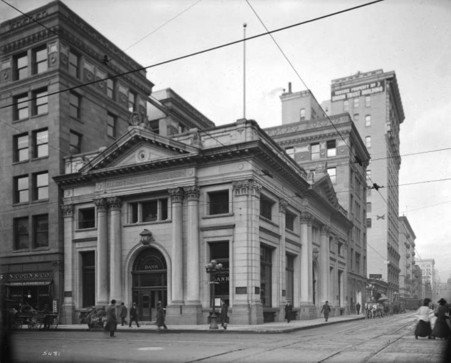 |
|
| (ca. 1910)^ - Exterior view of the Farmers and Merchants National Bank, on the corner of Main Street and Fourth Street. The two-story corner building has one entrance on each street. Both entrances feature a large arched doorway flanked by a pair of columns. Above the entrance is a wide pediment with fancy ornamental moldings. The building is reminiscent of Greek-revival style architecture. Legible signs include: "Farmers & Merchants National Bank, capital $1,500,000, surplus and profits $1,800,000, safe deposit and storage vaults, officers [...]". |
Historical Notes The Farmers and Merchants Bank’s two-story façade is reminiscent of a Roman temple. It is punctuated by an entrance framed with Corinthian columns topped by a large triangular pediment. |
.jpg) |
|
| (ca. 1910)^ - View looking west down 4th street from the corner of 4th and Main streets. The Greek-like columned Farmers and Merchants Building stands at left on the southwest corner. The busy street is full of people and vehicles. Almost all of the people are dressed professionally and all of them are wearing hats. People can be seen conversing with each other, walking down the sidewalk, crossing the street, riding their bicycles, or driving their early automobiles. Streetcar rails run down the middle of the road and utility wires dangle overhead. |
Historical Notes The Farmer's and Merchants Bank was founded by 23 prominent Los Angeles businessmen, with an initial capital of $500,000. The three largest subscribers were Isaias W. Hellman ($100,000), former California Governor John G. Downey ($100,000), and Ozro W. Childs ($50,000) who in later years became the founders of the University of Southern California. Other investors included Charles Ducommun ($25,000), I.M. Hellman ($20,000) and Jose Mascarel ($10,000.)* |
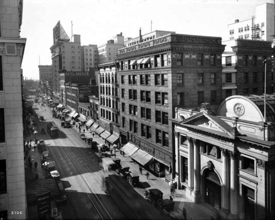 |
|
| (ca. 1917)^ - Panoramic view taken from the Westminster Hotel, looking down Main Street from 4th Street. The Farmers and Merchants Bank stands on the southwest corner at lower-right. |
Historical Notes The Farmers and Merchants Bank was the first incorporated bank in Los Angeles, founded in 1871 by John G Downey, the seventh governor of California and Isaias W. Hellman, a successful merchant, real estate speculator and banker, and brother of Hermann W. Hellman. Downey was named the first president. Isaias later served as president of the bank till his death in 1920.* |
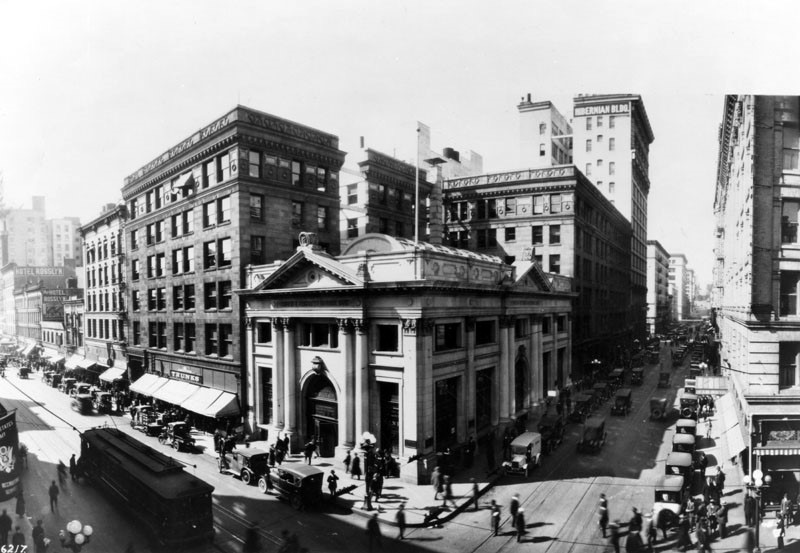 |
|
| (1923)* - Exterior view of Farmers and Merchants National Bank of Los Angeles, located at the southwest corner of 4th and Main streets. The streets are filled with people, streetcars, and automobiles. |
Historical Notes The bank's founder, I.W. Hellman, was a cautious lender, insisting that major borrowers have good character and provide good security. Its subsequent presidents, J.A. Graves (who had been Hellman's attorney) and Victor H. Rosetti, continued Hellman's conservative practices, with a large portion of the bank's capital constantly held in Treasury securities. As a result, the Bank survived every panic, from 1873 through the Great Depression.* |
 |
|
| (ca. 1936)^ - The Farmers and Merchants National Bank located at 401 S. Main Street. |
Historical Notes The one-branch downtown bank was eventually seen as not likely to continue to grow. In 1956, it merged with Security First National Bank, which became in later years Security Pacific National Bank, and ultimately was acquired by the Bank of America.* |
 |
|
| (1943)*##^ - View of the Farmers and Merchants Building on the southwest corner of 4th and Main Streets. The Rosslyn Hotel can be seen at the far left. |
 |
|
| (ca. 1960s)* - Exterior view of Security Pacific Bank (formerly Farmers and Merchants National Bank of Los Angeles), as seen from the intersection of Main Street and 4th Street. |
Historical Notes In 1983, the Farmers & Merchants Bank Building was dedicated Los Angeles Historic-Cultural Monument No. 271 (Click HERE to see complete listing). |
 |
|
| (2015)#^^* – Google street view showing the Farmers and Merchants Bank Building on the corner of Main and 4th streets. |
Historical Notes Designed in the Classical Revival style, the Farmers and Merchants Bank remains one of Southern California's finest examples of the early "temples of finance" which were popular at the turn of the century.* |
 |
|
| (2022)* - Close-up detail view of the Farmers & Merchants National Bank Building. Photo by Carlos G. Lucero |
* * * * * |
Norton Building (H. Jeyne Co.)
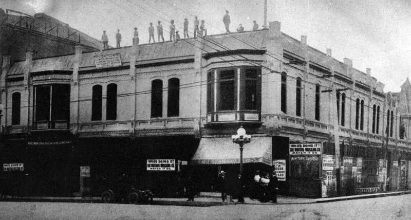 |
|
| (ca. 1906)* - View of the Southwest corner of 6th and Broadway, occupied by H. Jeyne Co. |
Historical Notes Up to 1906, this corner was considered too far south for a large business. This building was occupied by a saloon at the corner. In 1906, John H. Norton built the steel frame structure, and made it the strongest building, size considered, in Los Angeles. It was designed for heavy goods, and was occupied in its entirety by the H. Jeyne Co.* |
YWCA
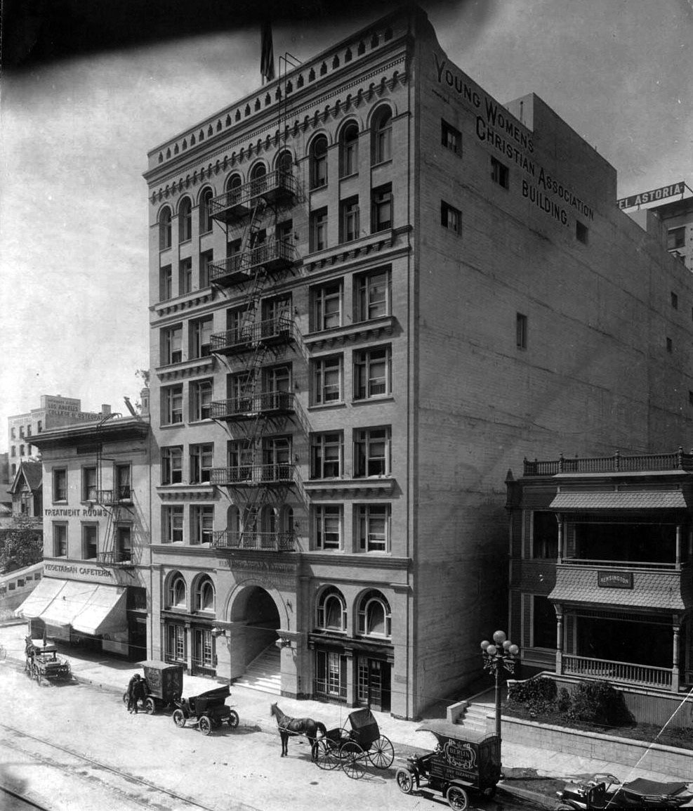 |
|
| (ca. 1907)^ - View of the west side of Hill Street showing the Y.W.C.A. building. Several horse-drawn wagons, early model cars and trucks are parked along the curb. The 3rd Street tunnel is just to the left of the 'Vegetarian Cafeteria'. Across Third Street can be seen one of the two Angels Flight cars stopped at the lower terminus. |
Historical Notes Founded in 1894, the YWCA Greater Los Angeles was modeled after the national Young Women's Christian Association which is a membership movement dedicated to the concept of empowering women by creating opportunities for growth, leadership and eliminating racism.^* |
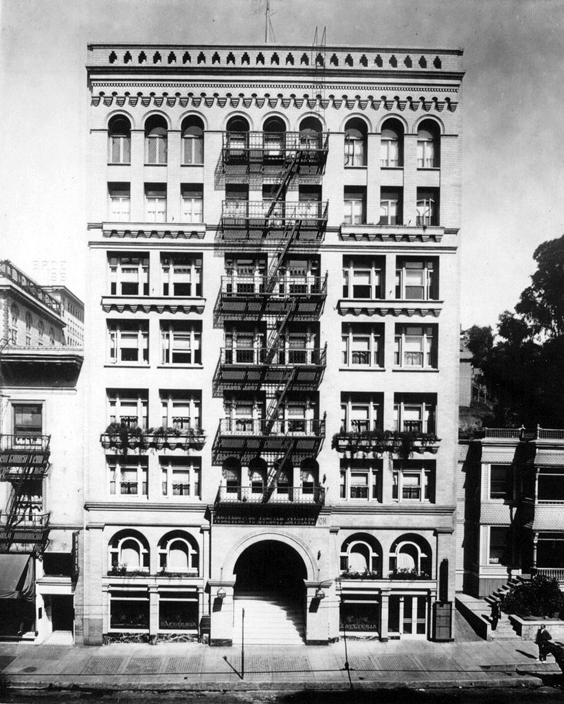 |
|
| (ca. 1917)^ - Front view of the Y.W.C.A. Building located at 251-255 Hill Street, just north of 3rd Street. |
* * * * * |
Mason Opera House (later Mason Theater)
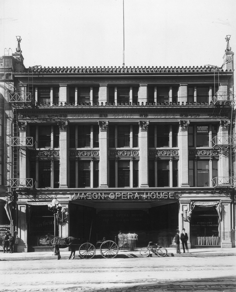 |
|
| (ca. 1908)^ - Photograph of the exterior view of the Mason Opera House, located at 127 S. Broadway. The opera house stands about four stories tall with six buttresses providing structural support. There are five windows on the second, third and fourth floor. |
Historical Notes The Mason Opera House opened in 1903 and was the leading stop for dramatic stars in Los Angeles for decades. |
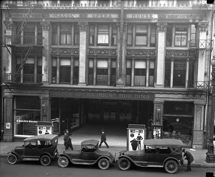 |
|
| (ca. 1910s)**# - Exterior view of the Mason Opera House with three early model cars parked by the front curb. |
Historical Notes The Mason was the leading stop for dramatic stars in Los Angeles for decades. Just a sampling: In March 1907 it got a run of "The Free Lance," a comic opera by John Phillip Sousa. In April, 1911 Sara Bernhardt appeared at the Mason for a four night engagement. In March 1912 the Mason was running the hit Broadway musical "The Pink Lady." In March 1914 the De Koven Opera Company presented "Robin Hood" and later in the month the Stratford-upon-Avon Players presented seven productions as part of their first American tour.^ |
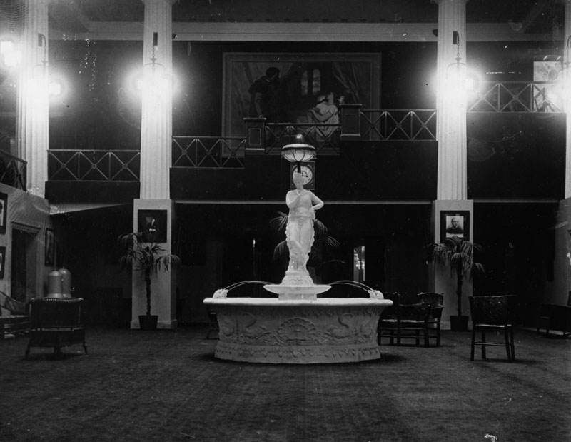 |
|
| (1910)* - A view of a fountain inside the lobby of the Mason Opera House. |
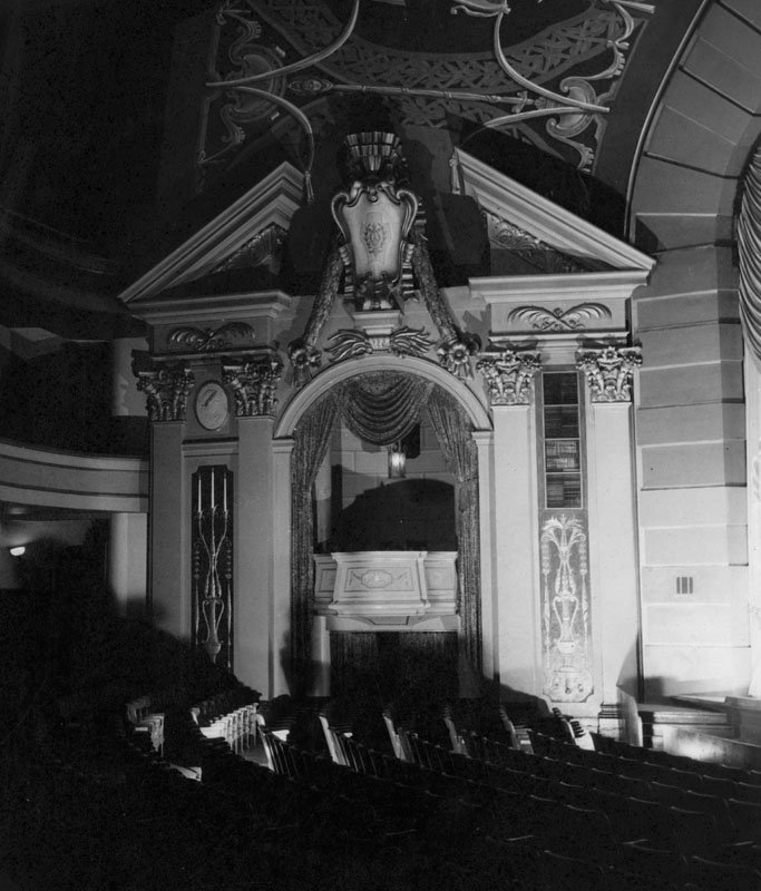 |
|
| (ca. 1910)* - Full view of the ornately designed left box seating inside the Mason Opera House. |
Historical Notes The Mason Opera House had a seating capacity of 1,650 seats. It was a two balcony house. Later it was listed as 1,552 and in the 1907-1908 Henry's Official Western Theatrical Guide it was listed as 1,400. The 2nd balcony only had access from the rear of the building. It evidently wasn't used during the theatre's final decades.^ |
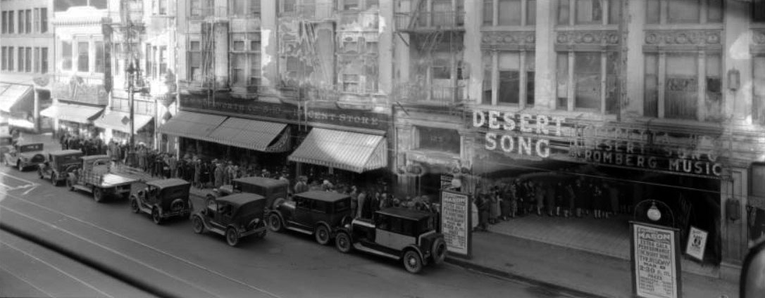 |
|
| (1928)#^* - Panoramic view of a long line of people wait outside the Mason Theatre at 127 South Broadway in Los Angeles to see a stage production of the operetta Desert Song. Signs outside the theater announce an extra gala performance and the last two weeks of shows. The long line goes down the street, past Woolworth's, Spear's, and Lucky Seven Department Store. |
Historical Notes In 1920 A.L. Erlanger was listing himself as owner with Charles Frohman, Inc, Klaw and Erlanger and Oliver Morosco as lessees. Frank Wyatt, son of original lessee Harold Wyatt, was the manager at the time. Later in the 20s, the Mason was still part of the Erlanger legit circuit and known as Erlanger's Mason. Erlanger also operated the Biltmore Theatre. |
 |
|
| (1956)* – View showing the Mason Theatre, 127 S. Broadway, the year it got demolished. Marquee reads: "Home of Mexican Films." |
Historical Notes In 1937 the management was turned over to Frank Fouce and it was advertised as Fouce's Mason Theatre. Fouce also operated the Million Dollar Theatre and the Mayan Theatre as Spanish language houses. |
 |
|
| (1956)* – View of the Mason Theatre, formerly Mason Opera House, shortly before it was torn down. |
Historical Notes The 1,600 seat two-balcony house opened in 1903 as the Mason Opera House and was for decades a major stop for touring attractions. In its final decades it was a home for Mexican film and vaudeville. But its end would be coming soon. In the December 21, 1954 issue of the L.A. Times: "Historic Mason Opera House to Come Down - Passing of a famous Los Angeles landmark was revealed yesterday with the announcement that the Mason Opera House at 127 S. Broadway will be torn down. Frank Fouce, owner of the theater, said it has been sold to the state. He said the state had acquired title to a major portion of the block for expansion of the Civic Center. The Mason’s star began to fade in the early 20s, when the Biltmore theater became the leading legitimate theater. In recent years the Mason has been a Mexican film theater. Final presentation before the state takes possession will be the showing of a Mexican film 'Pueblerina,' starring Columba Dominguez." ^ |
 |
|
| (1956)^^+ – View looking south on Broadway from 1st Street showing the businesses and buildings along the west side of the street. These buildings would soon be demolished to make way for a State building. Buildings seen include the Mason Theater (at center-left) and the Hough Block building with its fire escape ladder down the front and Rowan ad on the side (at center). The building to the left (SE corner) would be demolished in the early 1970s to make way for a 6-story modern addition to the LA Times Building. |
Historical Notes The Mason, and everything else on the block, was demolished in 1956 to make way for the short-lived Junipero Serra State Office Building (1960-2006). |
 |
|
| (1960)^.^ – View looking south on Broadway showing the newly constructed Junipero Serra State Office Building (right) that rose on the site of the old Mason Theater. Note the 1958 Ford Thunderbird at right. |
Historical Notes The Junipero Serra State Office Building was razed in 2006. The lot sat empty until 2014 when construction began for the First Street U.S. Courthouse Building (completed 2016). Click HERE to see contemporary view. |
* * * * * |
Walter P. Story Building
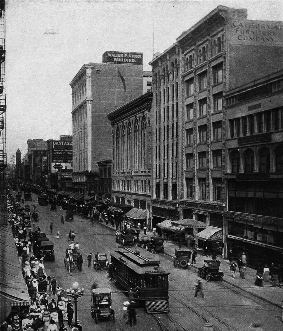 |
|
| (ca. 1910)*# - View looking north on Broadway from 7th Street. The Walter P. Story Building at 610 S. Broadway appears to be the tallest building on the east side of the street. |
Historical Notes In 1894, Nelson Story bought the property at 610 S. Broadway from J.B. Lankershim for $48,000. He and his son, Walter, would go on and build the Walter P. Story Building on this sight in 1909. It was one of the first skyscrapers in Los Angeles and still stands today as The New Story Building.^* |
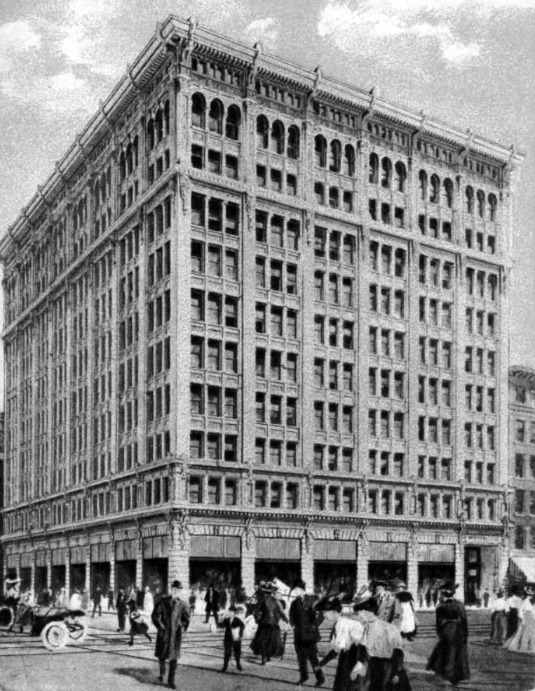 |
|
| (ca. 1910)### – Postcard view showing the Walter P. Story Building located on the southeast corner of Sixth and Broadway. |
Historical Notes This 1909 Beaux Arts building was built by Walter Perry Story on a lot his father had purchased in 1894. Story Sr., a successful Montana cattleman and the first person to drive cattle along the Bozeman Trail from Texas to Montana, also financed one half of the building's million-dollar construction. Walter Story went on to become a successful businessman, civic leader, and Major General in the California National Guard. #^*# |
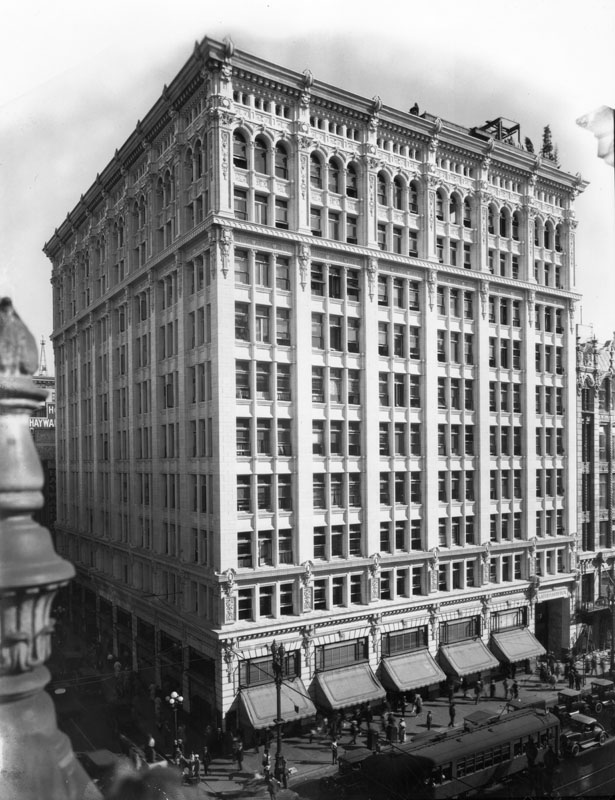 |
|
| (ca. 1910s)* - View of the Walter P. Story Building located on the southeast corner of Sixth Street and Broadway. |
Historical Notes The Beaux Arts style building was designed by Morgan, Walls and Clements, Architects.* |
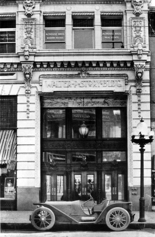 |
(ca. 1915)* - View showing an early model roadster parked in front of the main entrance to the Walter P. Story Building, located on the southeast corner of South Broadway and West 6th Street. |
Historical Notes Opened in 1910, the Walter P. Story building’s ground floor contained the largest plate glass windows west of Chicago. There were twelve of them and each cost $1000.* |
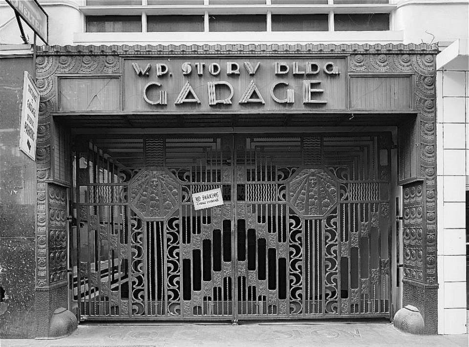 |
|
| (n.d.)##++ – View showing the Zigzag Moderne gates in front of the W.P. Story Building parking garage on the 6th Street side of the building. |
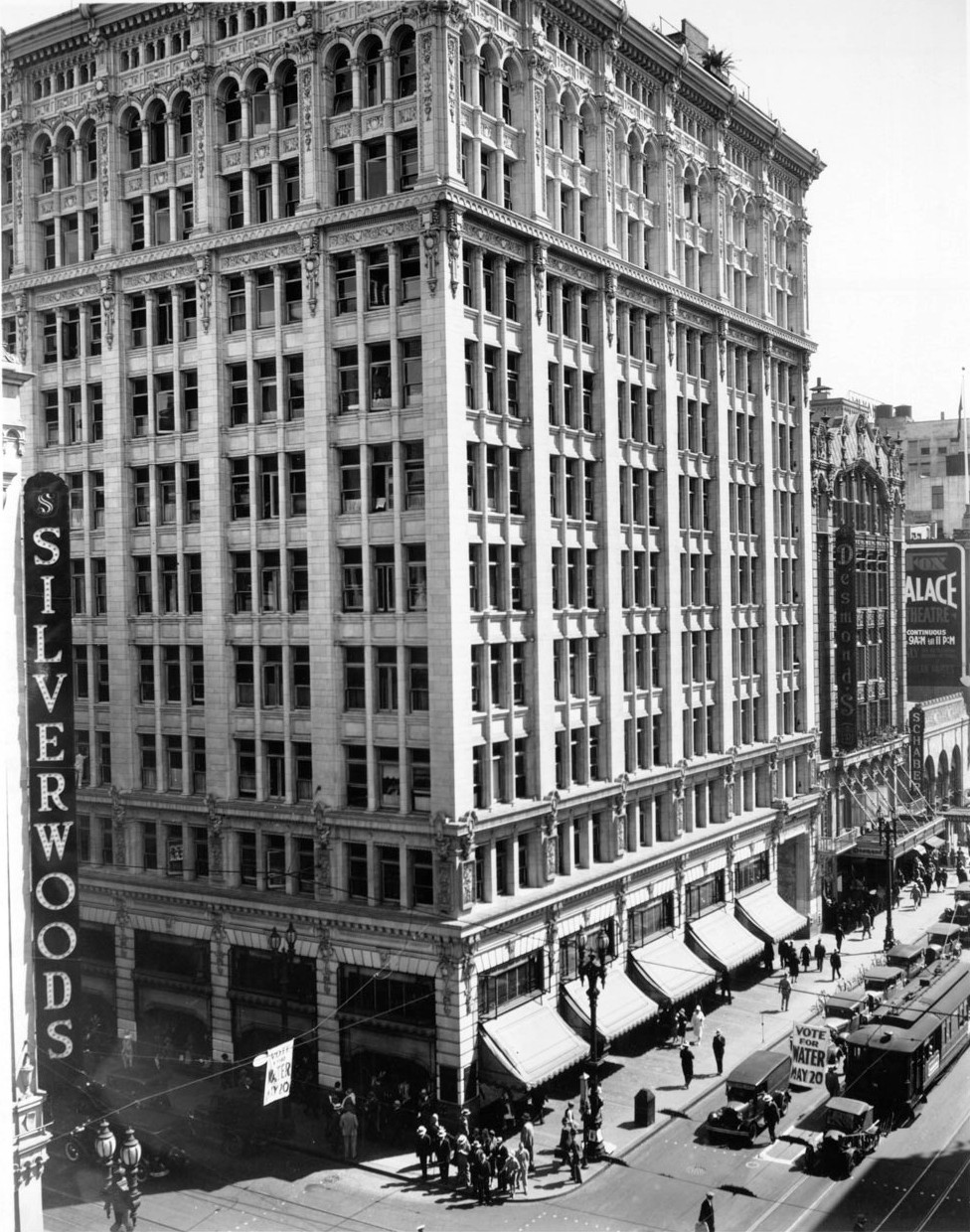 |
|
| (1930)^ - View of the Walter P. Story Building at 610 S. Broadway. A Silverwoods sign is attached to the building across the street. |
Historical Notes The first three stories and the basement of the building were initially designed for retail, and the upscale clothier Mullen and Bluett occupied the space from 1910 through the 1960s. Walter P. Story and his wife lived in the penthouse. #^*# |
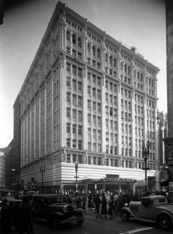 |
|
| (ca. 1935)^*# – View looking at the southeast corner of 6th and Broadway showing the Mullen and Bluett store on the ground floor of the Walt P. Story Building. |
Historical Notes The ground floor and basement were occupied by the Mullen & Bluett clothing store. The clothing store, which occupied 28,000 sq. ft. of space, was a proud Los Angeles retailer. The Times writes that "every piece of furniture, all of the window decorations, cases and other fixtures" were made in Los Angeles.*^#* |
.jpg) |
|
| (ca. 1935)^*# – Closer view of the entrance to Mullen and Bluett on the ground floor of the Walter P. Story Building. |
Historical Notes If you look at the side of the building today you can still see the outline of the Mullen & Bluett name on the side of the building. |
.jpg) |
|
| (ca. 1950s)^ - The Walter P. Story Building as seen from ground level, on the southeast corner of Sixth Street and Broadway, facing eastward. The sign at the bottom of the building reads Mullen & Bluett, while the sign on the corner of the building reads HFC Loans. |
Historical Notes When Gen. Story died the building was sold at auction. It was purchased for $1,500,000 by Fisher-Cooper Realty Associates of New York City. At the time of the sale the building was still referred to as the "Walter P. Story Building." A story the following year about a renovation is the first to call the structure the "New Story Building." In the time since the building's ownership had been transferred to the "610 Broadway Co." and renamed. Looking closely behind the "New Story" type, you can still see the outline of the old name.*^#* |
 |
|
| (2014)^* – Close-up view showing design details of the Beaux Arts Walter P. Story Building. |
Historical Notes The building now houses offices and jewelry businesses. The lobby, with its compact marble staircase, wide bannisters and two story newel posts, is clad in lightly-veined white marble, and features a Tiffany-style stained glass skylight. #^*# |
* * * * * |
1st Santa Anita Racetrack
 |
|
| (ca. 1907)* - View showing men, both on horseback and on foot, using the horse racing track owned by E. J. "Lucky" Baldwin, seen in the carriage on the far right. The caption at the bottom of the photograph reads, "Lucky Baldwin's Place S.G.V.R.R (San Gabriel Valley Railroad). |
Historical Notes This was first location for horse racing in Arcadia, located on Baldwin's Santa Anita Ranch. The site later became the Los Angeles County Park located at Santa Anita and Huntington. Santa Anita Park was originally part of "Rancho Santa Anita," which was owned originally by former San Gabriel Mission Mayor-Domo, Claudio Lopez, and named after a family member, "Anita Cota." The ranch was later acquired by rancher Hugo Reid, a Scotsman. Later, it was owned by multimillionaire horse breeder and racer Lucky Baldwin. Baldwin initially built a racetrack adjacent to the present site in what is today Arcadia, outside of the city of Los Angeles, in 1904. It closed in 1909 and burned down in 1912.^* |
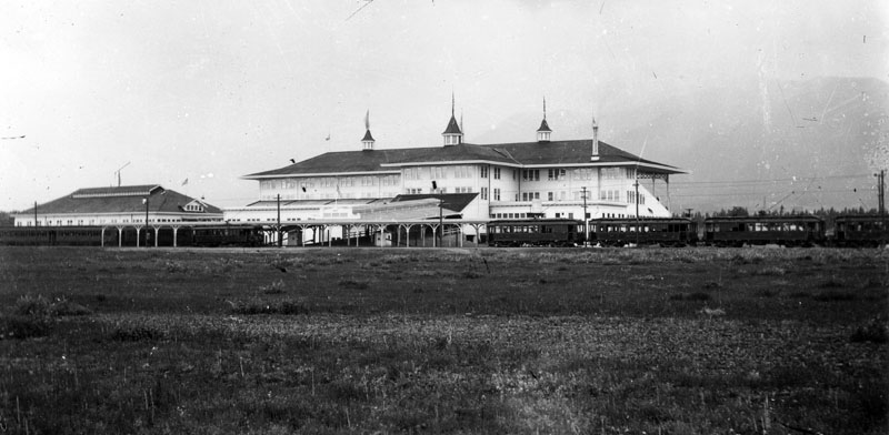 |
|
| (1909)* - Exterior view of the first Santa Anita Racetrack, built by "Lucky" Baldwin. Photograph shows the main building as well as several Pacific Electric trains and station in the forefront. |
Historical Notes The 'first' Santa Anita Racetrack was built on Elias Jackson ("Lucky") Baldwin's immense estate of "Rancho Santa Anita" and opened on December 7, 1907, but closed just two years later after horse racing was banned in California due to an anti-gambling bill that became law.* |
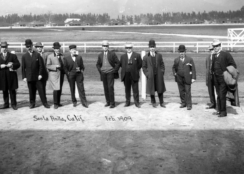 |
|
| (1909)* - Partial view of the first Santa Anita Racetrack, as it looked in February 1909. Eleven men can be seen standing in a row next to the track; several of them have binoculars hanging around their necks. Buildings, possibly stables, can be seen in the background. |
Historical Notes After Baldwin's death in 1909, horse racing was banned in California and the track was forced to close. Racing in Arcadia did not begin until 1934, where it continues each year from December 26th to April 20th at Santa Anita Park. |
Click HERE to see the 1934-built 'New' Santa Anita Racetrack Park |
* * * * * |
San Pedro City Hall
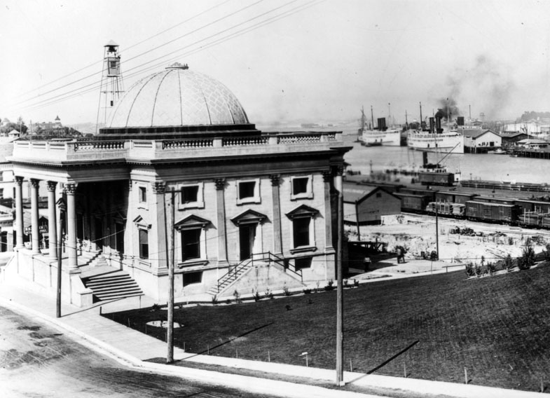 |
|
| (ca. 1907)* - Exterior view of the San Pedro City Hall located on Beacon between Wall and 5th streets. A rail yard and the Los Angeles Harbor are visible in the background on the right. |
Historical Notes San Pedro was named for St. Peter of Alexandria, a Fourth Century bishop in Alexandria, Egypt. His feast day is November 24 on the local ecclesiastical calendar of Spain, the day on which Juan Rodriguez Cabrillo discovered the bay in 1542 which would be known as San Pedro. Santa Catalina Island, named after Catherine of Alexandria, was claimed for the Spanish Empire the next day, on her feast day, November 25. In 1602–1603, Sebastián Vizcaíno (1548–1624) officially surveyed and mapped the California coastline, including San Pedro Bay, for New Spain. The land was granted in 1784 by King Carlos III to Juan Jose Dominguez, a retired Spanish soldier who came to California with the Gaspar de Portolà expedition. Under United States control after 1848, when the United States defeated Mexico in the Mexican-American war, the harbor was greatly improved and expanded under the guidance of Phineas Banning and John Gately Downey, the seventh governor of California. In 1906, the City of Los Angeles annexed the Harbor Gateway, a long narrow strip of land connecting the city to the coast, and in 1909, the city annexed San Pedro and the adjacent town of Wilmington.^* |
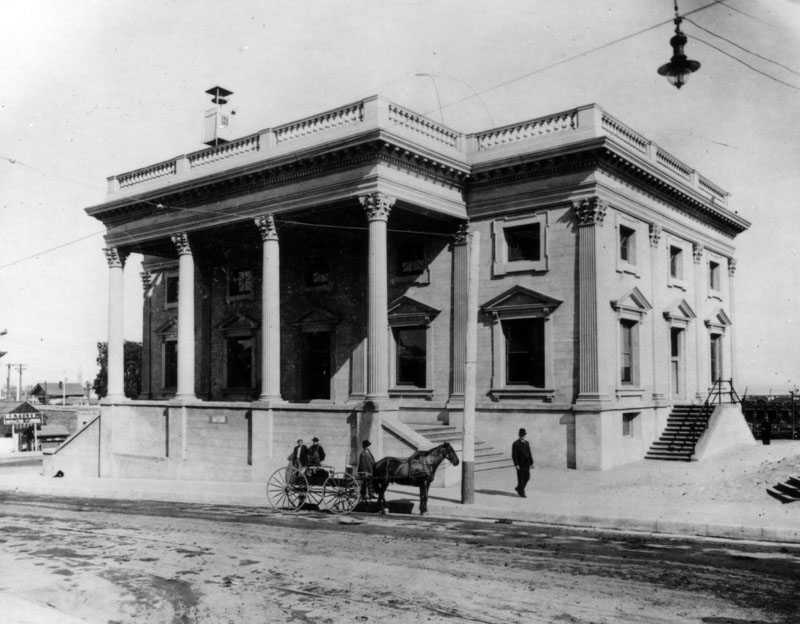 |
|
| (ca. 1907)* - Another view of the San Pedro City Hall. It was designed by F.E. Allen of Pasadena, cost $40,000 to build and was located on Beacon between Wall and 5th streets. |
Historical Notes The Classical Revival style City Hall building was constructed in 1909, the year San Pedro was annexed by the City of Los Angeles. San Pedro's previous City Hall (it's second) was on the northwest corner of 11th Street and Palos Verdes Street. It was built in 1905 and served as City Hall for only 3 short years until the new building seen above was erected. The building is now the City Hall Market and the Alhambra Bar, 1039 S. Palos Verdes St.^**^ |
Click HERE to see more in Early Views of San Pedro and Wilmington |
* * * * * |
Pacific Mutual Building
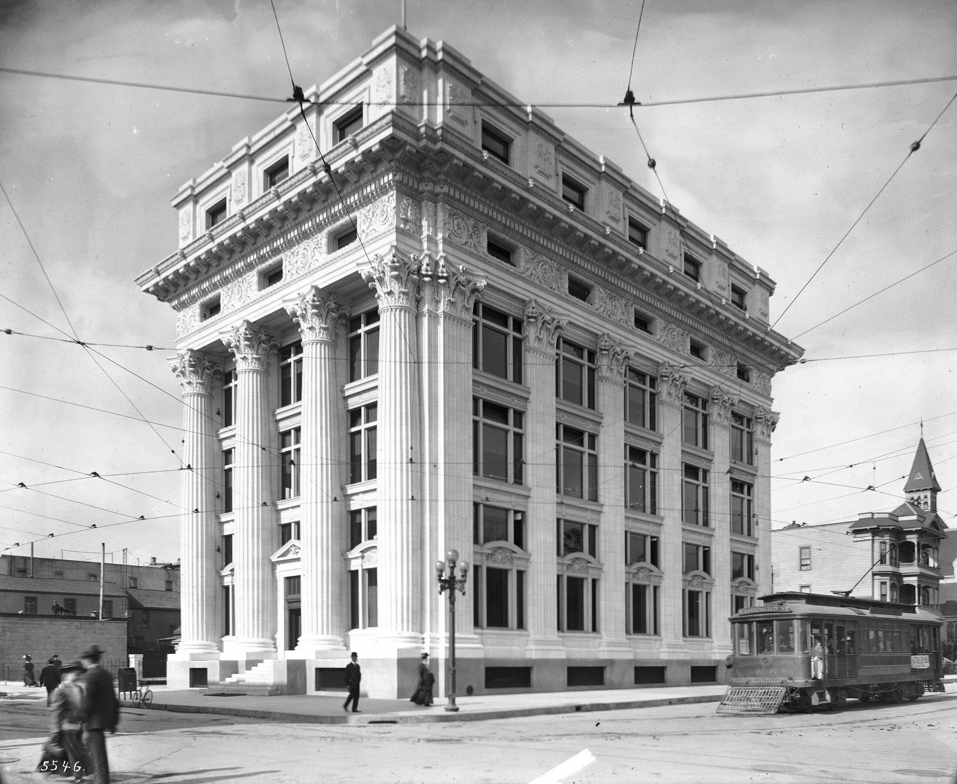 |
|
| (ca. 1908)* - A view of the original Pacific Mutual Building, the tallest on the northwest corner of Olive and 6th Streets across the street from Pershing Square. |
Historical Notes The Pacific Mutual Building, located at 523 W. 6th Street, was built between 1908 and 1912. From 1916 to 1926 the building was modified and expanded to include: a north side addition, another 12-story structure, a garage building, and a west side addition. In essence, it became three interconnected buildings by 1926.* |
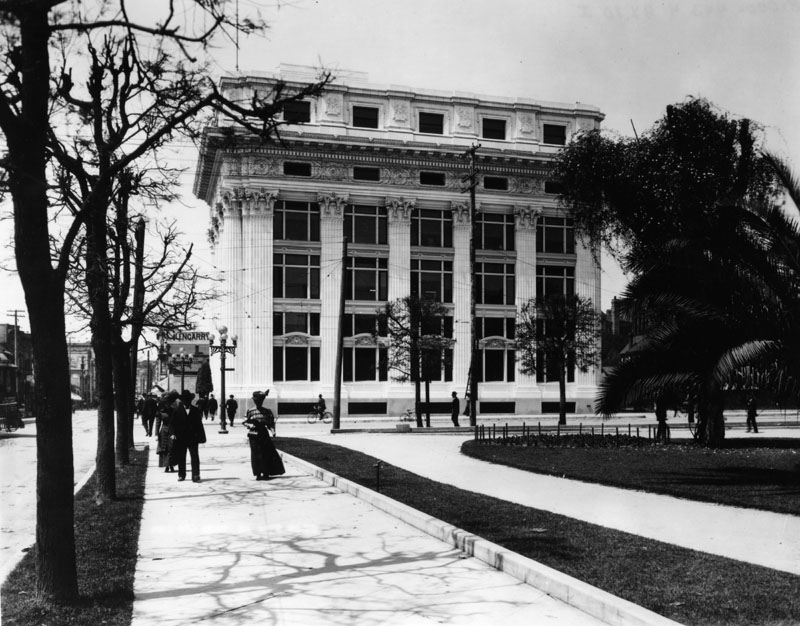 |
|
| (1908)* - View of West 6th Street from Pershing Square in 1908, with the Pacific Mutual Building seen on Olive Street. |
|
|
| (1913)* - Panoramic view of Olive Street looking north from 6th Street in 1913 toward snow-capped mountains. At left is the Pacific Mutual Life Insurance Building, and at right is Pershing Square. Beyond it is the Auditorium Building. Various other buildings are seen in this view taken from the Los Angeles Athletic Club building on 7th and Olive. |
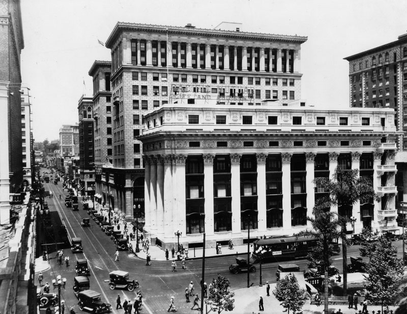 |
|
| (ca. 1916)* - 6th Street looking west from Olive Street. At right is the Pacific Mutual Life Insurance Co. building. Pershing Square is at close right. In the distance is the Jonathan Club. A streetcar bears the destination of Bimini Baths. At left is a sign, "Edwards Wildey." |
Historical Notes A North Side addition was built in 1916 by William J. Dodd as seen above.* |
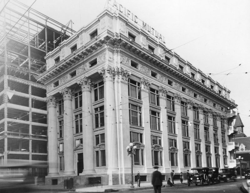 |
|
| (ca. 1925)* - View showing the construction of a twelve-story addition to the Pacific Mutual Building on Sixth Street |
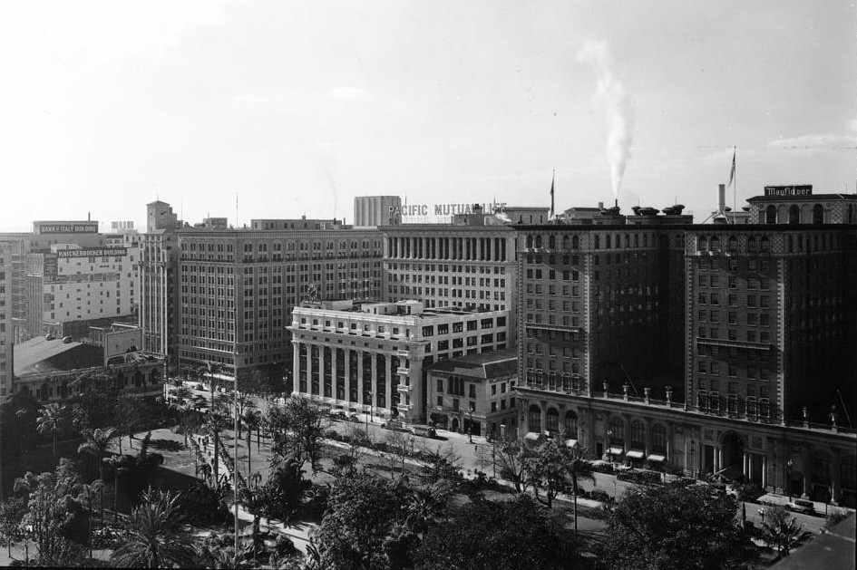 |
|
| (ca. 1929)* - View looking southwest over Pershing Square showing the Pacific Mutual Building with new additon on the northwest corner of Olive and 6th streets. By 1926, it became three interconnected buildings. The new Biltmore Hotel can be seen on the right. |
Historical Notes A North Side addition was built in 1916 by William J. Dodd; a twelve-story structure was built in 1921 by William J. Dodd and his associate William Richards; the Garage Building was added in 1926 by Schultze and Weaver; and the West Side addition was erected in 1929 by Parkinson and Parkinson. The building underwent Moderne remodeling in 1936 by Parkinson and Parkinson.* |
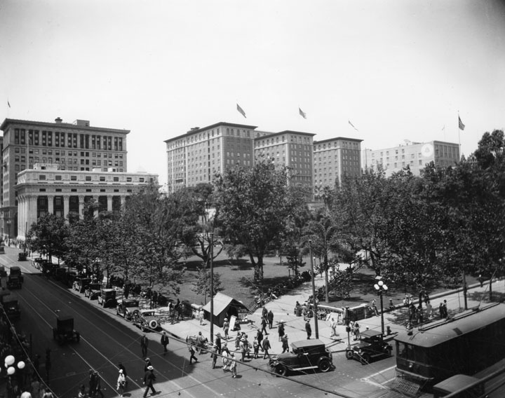 |
|
| (1930)* - View looking northwest toward Pershing Square from the corner of 6th and Hill streets. The Pacific Mutual Building is seen in the distance on the left. The Biltmore Hotel is on the right. |
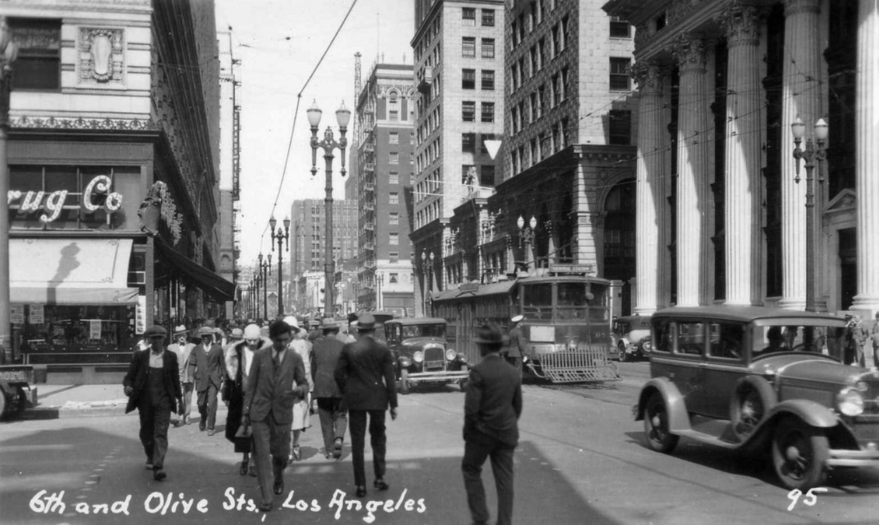 |
|
| (ca. 1930)*##^ - View looking west on 6th Street at Olive. Pedestrians are seen crossing Olive while streetcar and autos are moving along 6th Street. The Pacific Mutual Building is seen at right on the northwest corner of the intersection. |
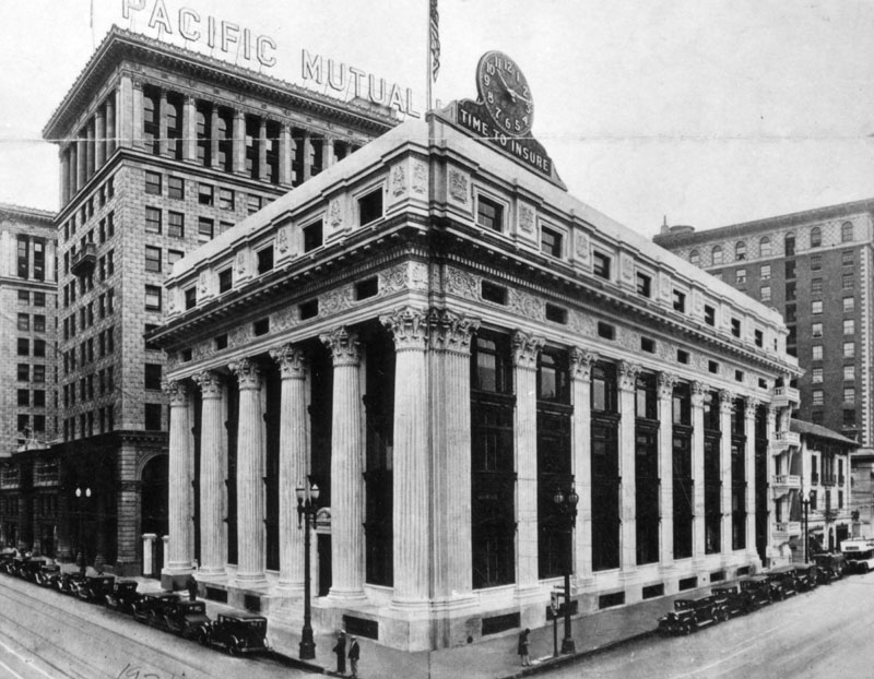 |
|
| (1931)*- Close-up view of the Pacific Mutual Building with new clock on top of building. 6th Street is on the left and Olive Street on the right. |
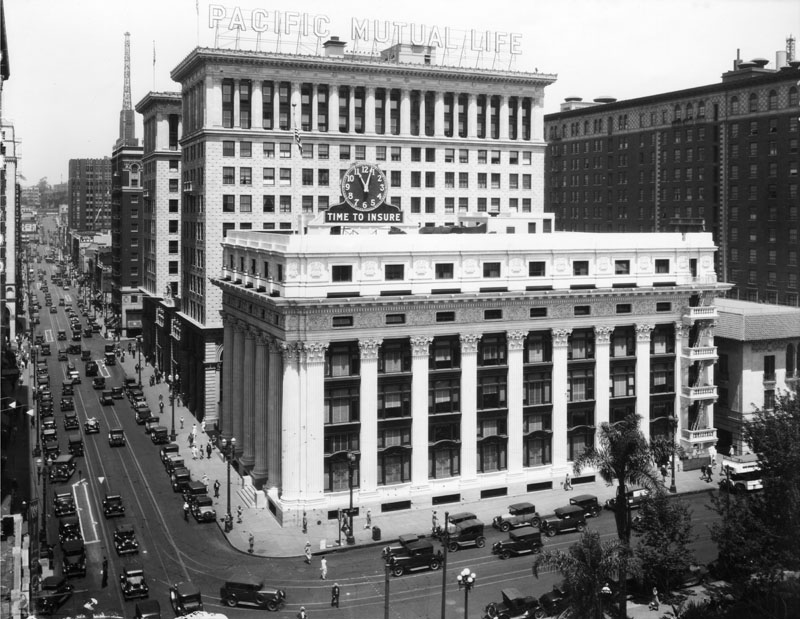 |
|
| (ca. 1935)* - View showing the Pacific Mutual Building with its landmark clock and glowing sign that reads "Time to Insure". |
Historical Notes The Pacific Mutual Building, located at 523 W. 6th Street, are actually three interconnected buildings built between 1908 and 1929. The original structure was designed and built between 1908-1912 by John Parkinson and Edwin Bergstrom. It has undergone many changes since it was built. In 1974, the building underwent an extensive restoration by Wendell Mounce and Associates, with Bond and Steward, which brought it back to its Beaux Arts revival. And in 1985, the entire building was renovated again by the Westgroup, Inc.* The Pacific Mutual Building is listed as Historic-Cultural Monument No. 398. Click HERE to see complete listing. |
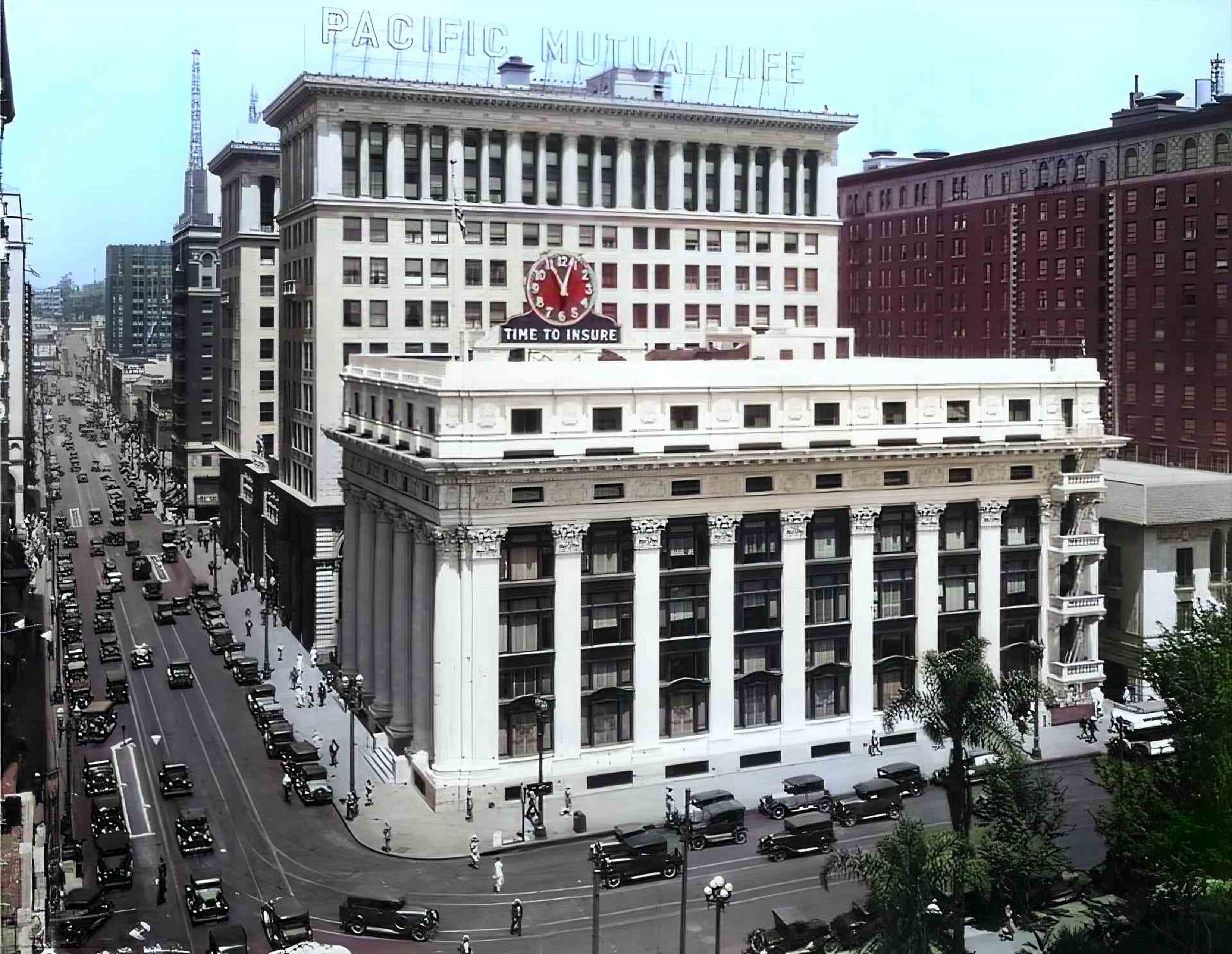 |
|
| (ca. 1935)* - View showing the Pacific Mutual Building with its landmark clock and glowing sign that reads "Time to Insure". Image enhanced and colorized by Richard Holoff. |
Then and Now
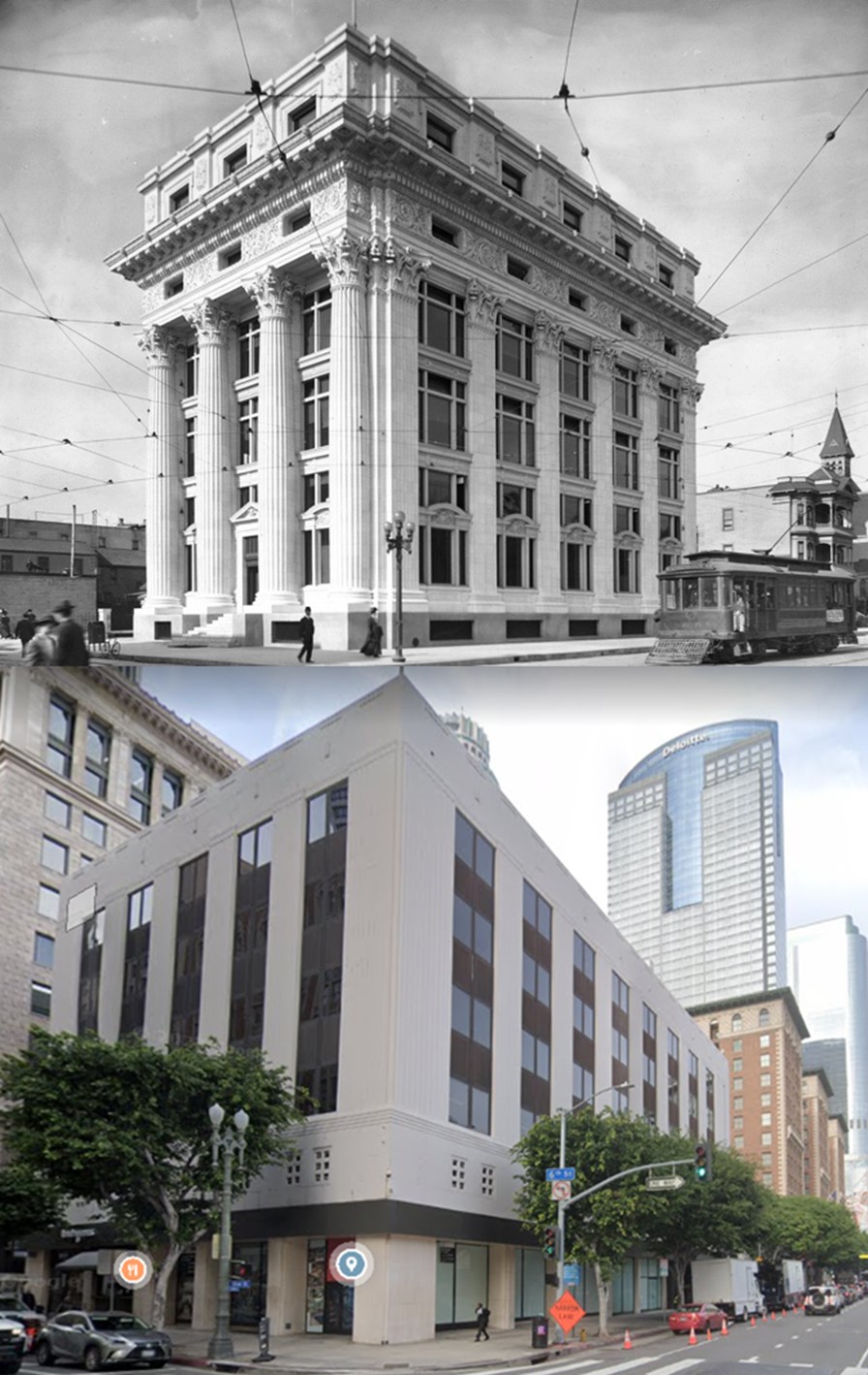 |
|
| (1908 vs 2023)*- Pacific Mutual Building - Then and Now - NW coner of Olive and 6th streets. |
* * * * * |
Lake View Hotel (aka Park View Hotel)
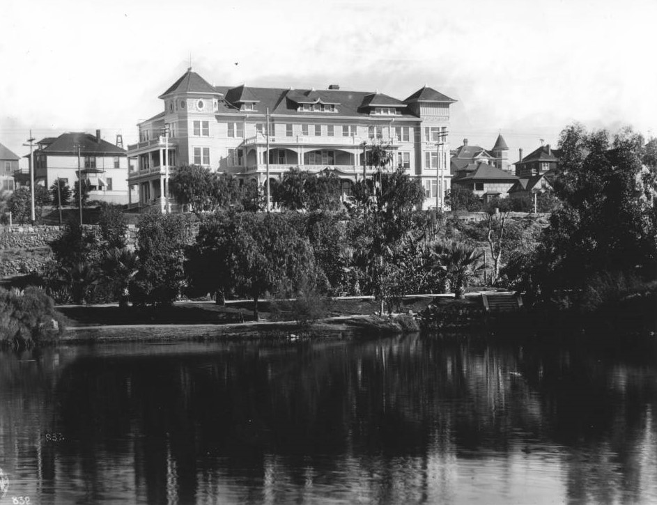 |
|
| (ca. 1908)^ – View showing the Lake View Hotel (aka Park View Hotel) sitting on an embankment overlooking Westlake Park (later MacArthur Park). Other buildings, mostly homes, are visible beside the hotel. |
Historical Notes The three-story, 55-room hotel was built in 1908. It was located at 2216 West Sixth Street, overlooking Westlake Park.^#* |
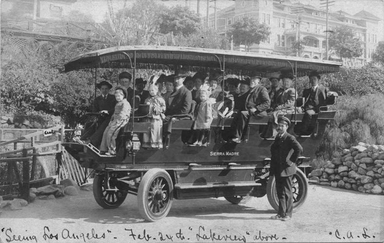 |
|
| (1908)^*# - Postcard view showing a tour bus filled with people including young children on the bank of Westlake Park. Writing at bottom reads: "Seeing Los Angeles" - Feb. 24th - "Lakeview" above (referring to the Lake View Hotel, seen in upper-right). |
* * * * * |
Antler Hotel
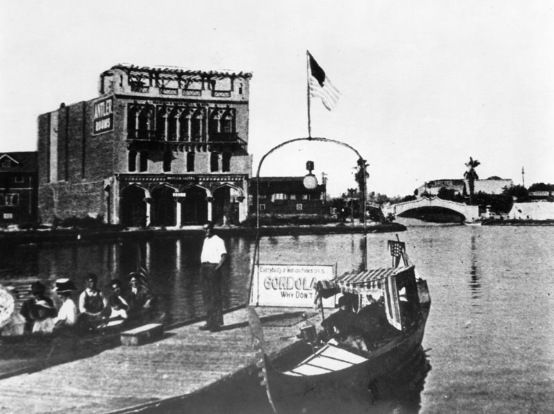 |
|
| (ca. 1905)* - View of the Lagoon at Venice. Groups of people pay for a boat or a gondola ride on the canal. The Antler Hotel can be seen in the background to the left of the bridge over the canal. |
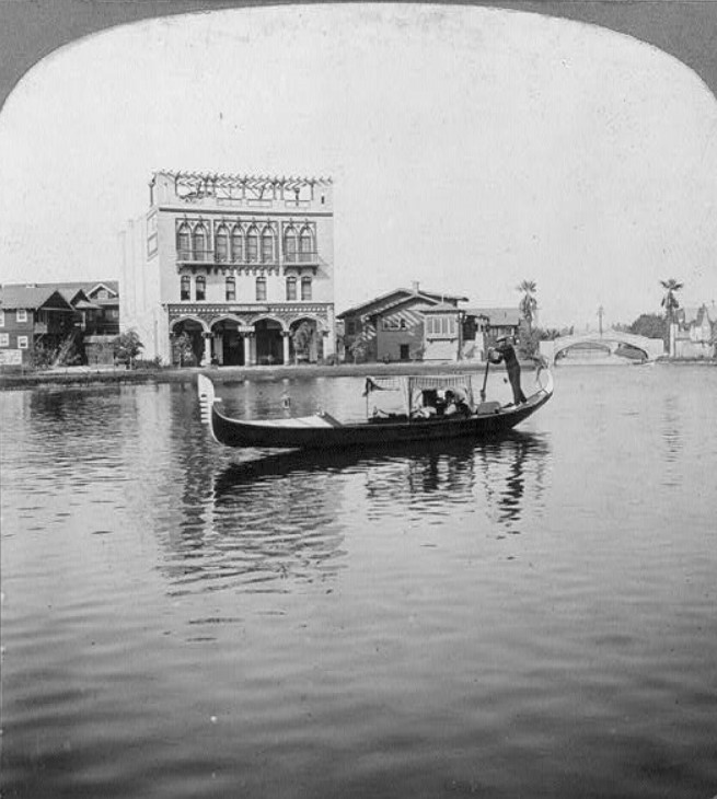 |
|
| (1913)^## – Half of a stereoscopic image showing a gondola with a gondolier in the rear rowing on the Venice Lagoon. The Antler Hotel stands in the background. |
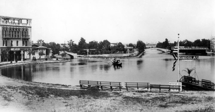 |
|
| (ca. 1910s)* - Panoramic view showing a gondola being rowed across the canal towards the sign "Gondola" and another sign offering motor boat rides. On the left next to the water is the Hotel Antler. |
Historical Notes The canals converged on a large saltwater lagoon that later became a traffic circle. The bulk of the canals were filled in 1929 to create roads.^* |
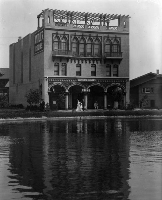 |
|
| (ca. 1910)*##^ – Close-up view of the Antler Hotel showing its distinctive Moorish syle windows and arches. |
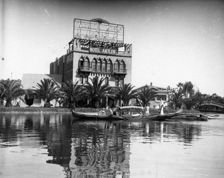 |
|
| (ca. 1920s)* - A gondola with several ladies on it, and a gondolier to steer, works its way across the Venice Lagoon. Behind them is the Hotel Antler. |
Historical Notes Today, the traffic circle at Pacific and Windward Avenues is located on top of what once was the Venice Lagoon.*^ |
* * * * * |
St. Mark's Hotel
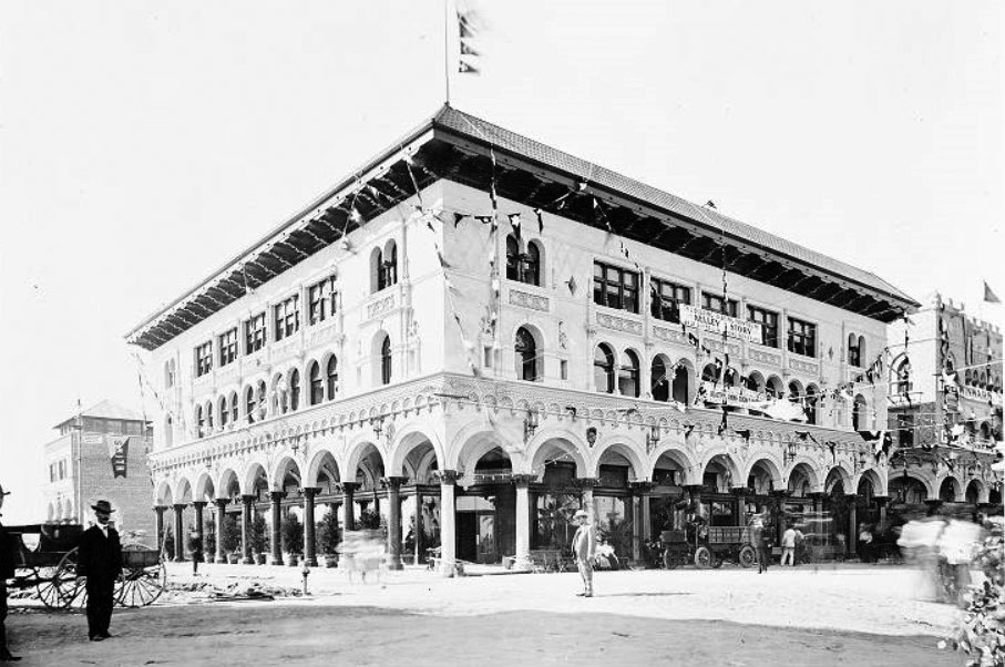 |
|
| (1905)#^* - View of the corner of Ocean Front and Windward Avenue and the St. Mark's Hotel. |
Historical Notes Ground was broken for the St. Mark's Hotel on December 5,1904. It was one of Venice's original buildings and stood until 1964 when it was demolished.**** |
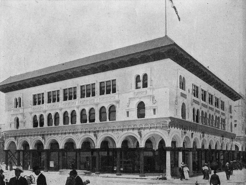 |
|
| (ca. 1906)* - A closer view of the St. Mark's Hotel on Windward Avenue in Venice. |
 |
|
| (ca. 1908)* - A corner view of the exterior of a business building on Windward Avenue in Venice which includes the St. Mark's Hotel. |
Historical Notes In 1905, the founding year of Venice, Windward Avenue was two blocks long, stretching between the canal system and the pier, lined with hotels that featured hot salt water in every room.**** |
 |
|
| (ca. 1906)^ - View of the Saint Mark's Hotel on Windward Avenue in Venice Beach. An outdoor corridor houses a street arcade. A man with a beard stands in the foreground near one of the many pillars and arches forming the corridor. |
Historical Notes The colonnade, made up of dozens of Corinthian columns supporting Venetian-style arcade buildings on Windward, Pacific, and Market avenues, still serves as the gateway to the city and is one of Venice's most recognizable landmarks. |
 |
|
| (1955)* - Looking north on Ocean Front Walk at Windward Avenue. On the corner on the right is the St. Mark's Hotel, with a drug store filling the street level rooms. An empty tram car sets on the corner by the hotel. Note: All the building on the left (ocean side) have been demolished. |
Historical Notes The entire row of buildings on the left, including the Vista Theatre, was demolished and later became the location of Windward Plaza Park. The St. Marks Hotel on the right would be demolished one year after the above photo was taken. |
Then and Now
 |
|
| (1949 vs 2022)* - Looking north on Ocean Front Walk from Windward Avenue in Venice. The St. Marks Hotel on the right was demolished in 1956. The entire row of buildings on the left, including the Vista Theatre, was also demolished and today is the location of Windward Plaza Park. |
* * * * * |
Venice Aquarium
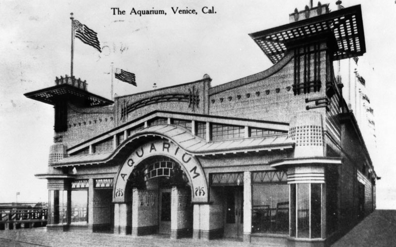 |
|
| (ca. 1908)* - A view of the front of the Aquarium, with flags flying all around the top of the building. It exhibited the finest collection of marine specimens on the Pacific coast. |
Historical Notes Venice of America was founded by tobacco millionaire Abbot Kinney in 1905 as a beach resort town, 14 miles west of Los Angeles. He and his partner Francis Ryan had bought two miles of oceanfront property south of Santa Monica in 1891. They built a resort town on the north end of the property called Ocean Park. |
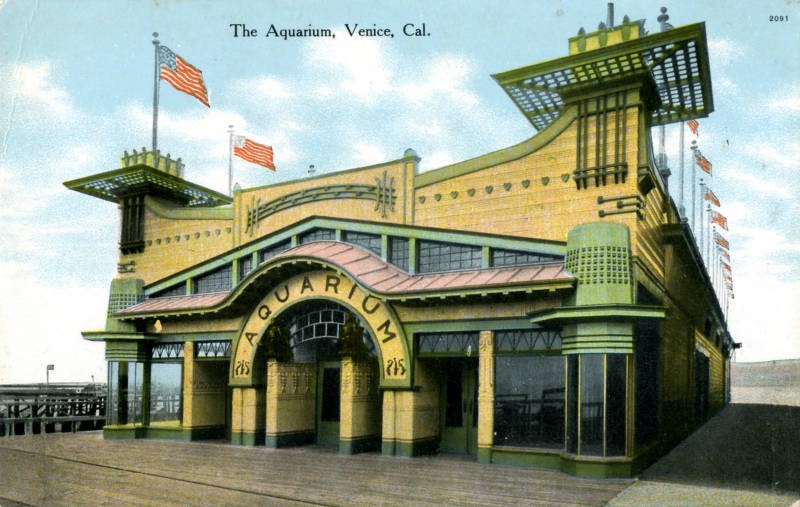 |
|
| (ca. 1908)* - Postcard view of the front of the Aquarium, with flags flying all around the top of the building. It exhibited the finest collection of marine specimens on the Pacific coast. |
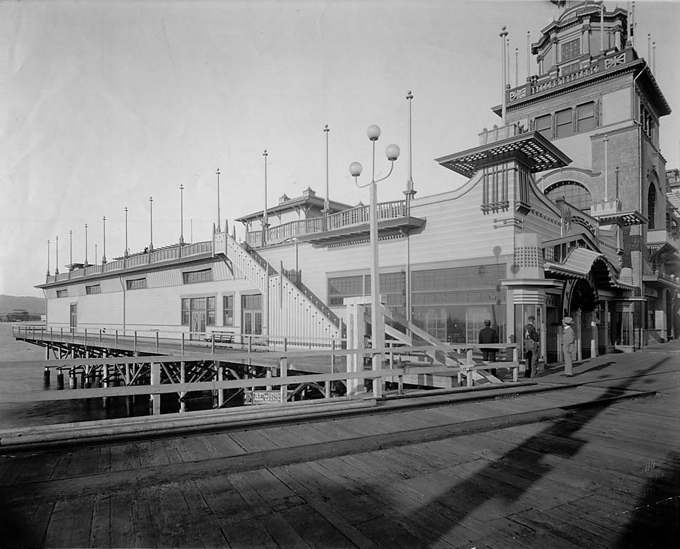 |
|
| (ca. 1909)^ - Side view of the Venice Aquarium showing three men standing by the aquarium building. Note the ornate light fixture along the boardwalk. |
Historical Notes Kinney built a 1,200-foot long pleasure pier with an auditorium, ship restaurant, and dance hall, constructed a hot salt-water plunge, and built a block-long arcaded business street with Venetian architecture. Tourists, mostly arriving on the "Red Cars" of the Pacific Electric Railway from Los Angeles and Santa Monica, then rode Venice's miniature railroad and gondolas to tour the town. |
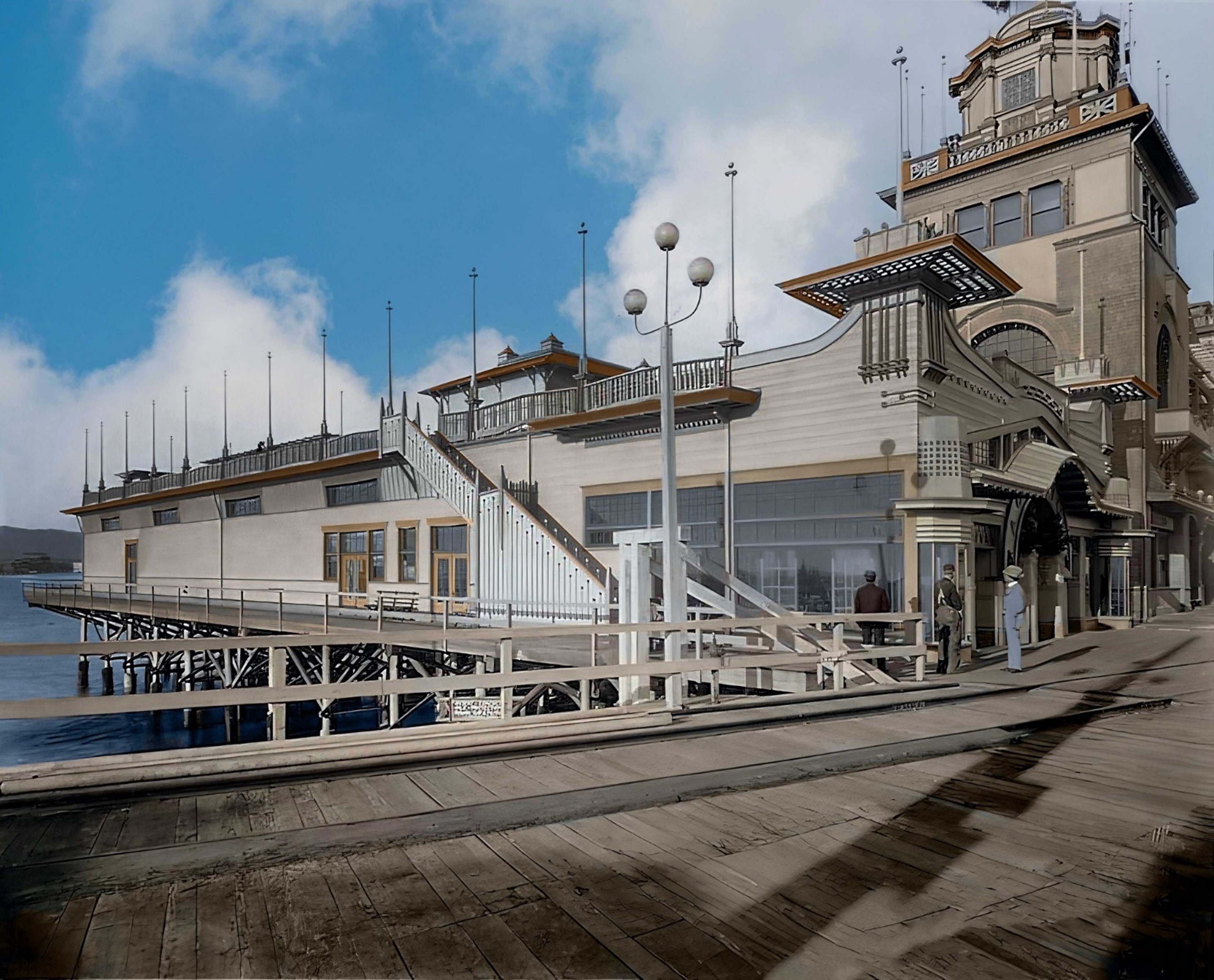 |
|
| (ca. 1909)^ - Side view of the Venice Aquarium showing three men standing by the aquarium building. Note the ornate light fixture along the boardwalk. Image enhancement and colorization by Richard Holoff |
Historical Notes The Venice Beach Aquarium exhibited the finest collection of marine specimens on the Pacific coast. It later became the official marine biological station for the University of Southern California. In 1920, along with the pier, the beautiful Venice Aquarium was destroyed by fire.* Attractions on the Kinney Pier became more amusement-oriented by 1910, when a Venice Scenic Railway, Aquarium, Virginia Reel, Whip, Racing Derby, and other rides and game booths were added. |
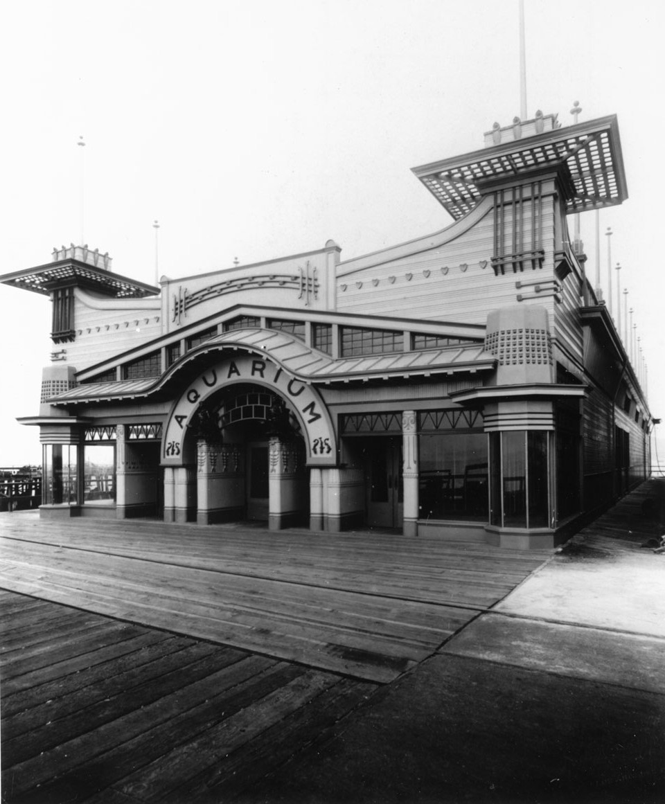 |
|
| (1909)^ - The Venice Aquarium located on Kinney's Venice of America Pier. |
Historical Notes In 1920, along with the pier, the beautiful Venice Aquarium was destroyed by fire. Click HERE to see more in Early Southern California Amusement Parks |
* * * * * |
Ocean Park Bath House
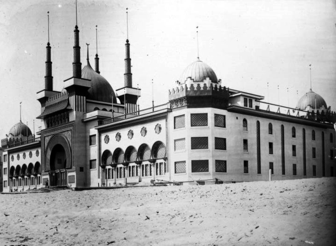 |
|
| (1905)^ - View of Moorish style Ocean Park Bath House, nearing completion. Round turrets rise from each of the corners as well as over the main entrance. Rows of arched or round windows line the exterior of the three-story building on the beach. Laborers are seen working near the entry. |
Historical Notes When it was built in 1905, the Ocean Park Bath House was one of the most elaborate structures on Santa Monica's beach. It was Moorish in style, 3 stories high with 5 domes. An ad from 1906 claimed it had the largest swimming pool in the US. |
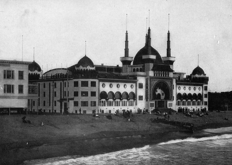 |
|
| (ca. 1910)* - A postcard view of the bath house in Ocean Park. Only a few people are shown on the sand between the bathhouse and the ocean water. |
Historical Notes Looking more like a movie set, the Ocean Park Bath House was one of the most talked about buildings of its day-and a great draw for the beach area. The lavish indoor plunge (heated for those who didn’t take to cooler ocean swimming) was built by A.R. Fraser. |
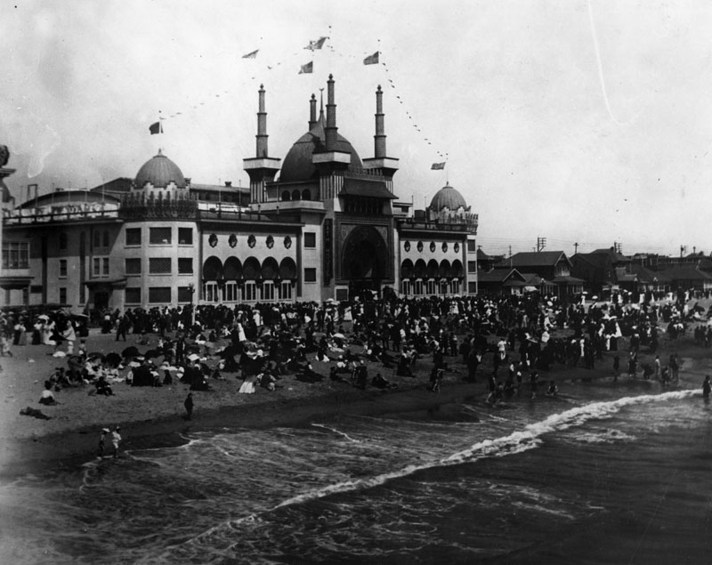 |
|
| (ca. 1910)* - A view of the bath house set along the beach in Ocean Park. Hundreds of visitors are sitting or standing on the beach and in the rolling waves of ocean water. |
Historical Notes Click HERE to see more in Early Views of Santa Monica. |
* * * * * |
Ocean Park City Hall (later Venice City Hall)
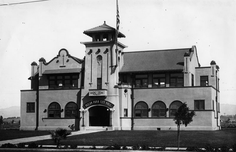 |
|
| (1910)* - A view of the front of the two-story Ocean Park City Hall. In 1911 this became the Venice City Hall. Newly-planted trees are seen near the front sidewalk. |
Historical Notes By 1925, Venice's politics became unmanageable. Its roads, water and sewage systems badly needed repair and expansion to keep up with its growing population. When it was proposed that Venice be annexed to Los Angeles, the board of trustees voted to hold an election. Those for annexation and those against were nearly evenly matched, but many Los Angeles residents, who moved to Venice to vote, turned the tide. Venice became part of Los Angeles in November 1925.^* |
* * * * * |
Playa del Rey Motordrome
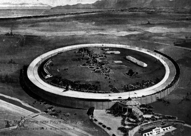 |
|
| (ca. 1910)* - Aerial view of the motordrome near Playa del Rey, Los Angeles. |
Historical Notes The Los Angeles Motordrome opened on April 8, 1910 near the present-day intersection of Culver and Jefferson boulevards in Playa del Rey. Promoters Fred Moskovics and Walter Hemple had taken notice of the success of automobile races involving now-legendary driver Barney Oldfield at Los Angeles tracks in the early 1900s, and hired velodrome designer Jack Prince to design a raised wooden track designed specifically for motorized racing. Construction on the one-mile round banked track began in Feb. 1910.
The Los Angeles Pacific Railway built a special spur to bring fans to the track, which held 12,000 spectators. Sportswriters immediately began referring to the structure as a "pie pan" due to its circular shape and banked track. The motordrome at Playa del Rey was the first of several that eventually would be built in the Los Angeles area, including wooden tracks in Beverly Hills, Culver City, and the Los Angeles Coliseum motordrome at Hooper Avenue and 35th Street. On the afternoon of Aug. 11, 1913, a fire broke out under the wooden track in Playa del Rey. Though it did not fully destroy it, the damage was severe enough that rebuilding it wasn't feasible. A Los Angeles Times news story detailing the fire blamed it on vagrants sleeping beneath the track who were careless with matches. Wooden tracks eventually died out as other surfaces such as asphalt began to be used for auto racing tracks in the late 1920s, replacing the more dangerous wooden structures.^^ |
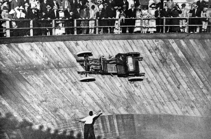 |
|
| (ca. 1912)* - Spectators watch a man race his car in the "Dare Devil Race for Life" exhibit held on Windward Avenue in Venice. The small circular track of the motordrome has 65 degree walls. |
* * * * * |
Playa del Rey Incline Railway
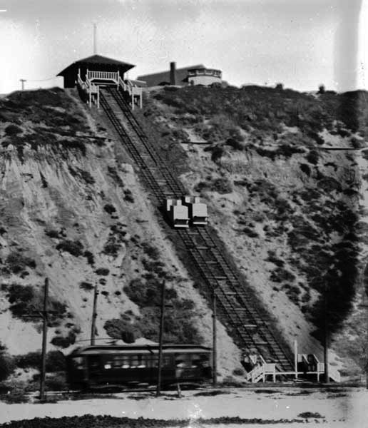 |
|
| (ca. 1901)^.^ - Two cars run in a counter balance configuration from a Los Angeles Pacific Railway stop at the base of the Westchester cliffs to a hotel at the top of the bluff. It's believed that the line only existed from about 1901-1909. |
Historical Notes Photo was taken by Howard I Morris, a young engineer working on the LAP's Playa Del Rey Substation equipment. The passenger station and electrical substation are just out of the picture to the left in the tiny village of Playa Del Rey. Courtesy Malcolm Atwill collection. |
* * * * * |
Mount Washington Railway Incline
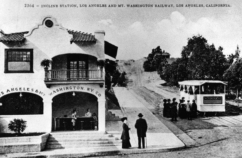 |
|
| (ca. 1910)* - The Los Angeles and Mount Washington Railway Incline Station is a confection stand and waiting room for passengers of the Railway. The Railway was located on the southwest corner of Avenue 43 and Marmion Way and was in operation from early 1909 until January 9, 1919. |
Historical Notes Mount Washington was founded in 1909 as a subdivision laid out by real estate developer Robert Marsh. Marsh built the Mount Washington Hotel at the summit of Mount Washington, and the Los Angeles and Mount Washington Railway Company was soon established as a funicular railway up the hill as an alternative to constructing roads up the area's steep hillsides. The railway operated until January 1919. The railway scaled the western slope of Mount Washington. For a nickel, passengers could disembark from a Yellow Car at the intersection of Marmion and Avenue 43 and ride the funicular to the top of Mount Washington. There, they could stay at a grand hotel or explore the vacant housing lots awaiting a home.^* The base station on Avenue 43 was declared Historic Monument No. 269 in 1983 (Click HERE to see complete listing). |
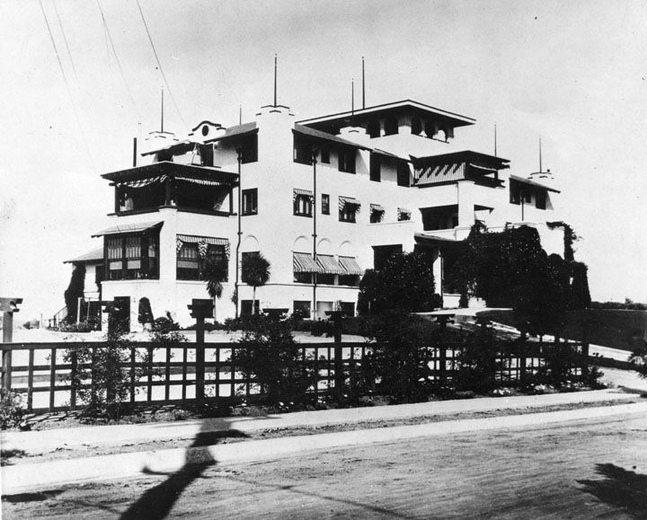 |
|
| (ca. 1915)^ - External view of Mount Washington Hotel that sits on top of the Mt. Washington Railway Incline. |
Historical Notes The Mount Washington Hotel building remains standing today, having been purchased by the Self-Realization Fellowship in 1925. It was declared Historic Monument No. 845 by the City of Los Angeles on August 16, 2006 (Click HERE to see complete listing).^* |
* * * * * |
Belasco Theater
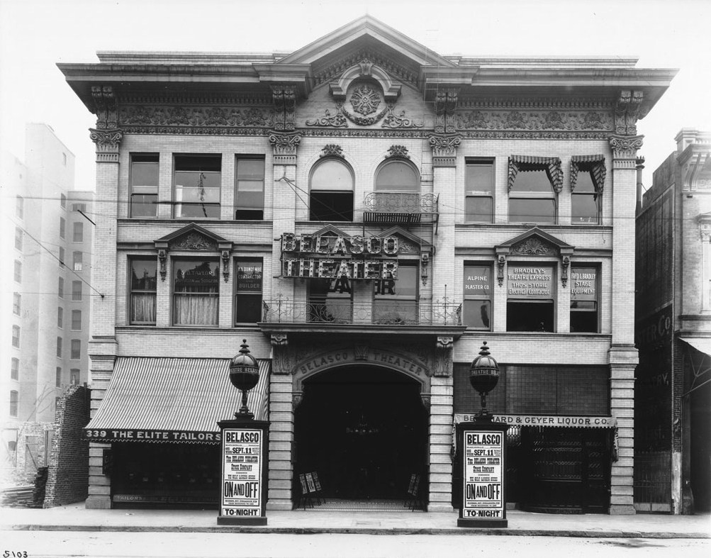 |
|
| (ca. 1909)^ - Exterior view of the Belasco Theater, 337 South Main Street. Architect: A. M. Edelman. |
Historical Notes The Belasco Theatre was opened in 1901 by David Belasco. Initially it was devoted year round to productions by the Belasco stock company. In the 1915 city directory it's listed as the Republic Theatre. By 1919 it had been renamed the Follies. Belasco later re-surfaced with another theatre with his name on it when the new Belasco Theatre on S. Hill St. opened in 1926.**^ |
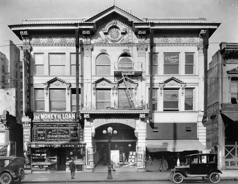 |
|
| (ca. 1920)* - Exterior view of the Follies Theater formerly known as the Belasco Theater. |
Originally the 337 South Main St. Theater was called the Belasco in 1901. It was renamed the Republic Theater in 1915 and then the Follies Theater in 1919. The theatre was demolished in 1974 after a long and happy career as a legit theatre, occasional movie venue and many years as a burlesque theatre.**^ |
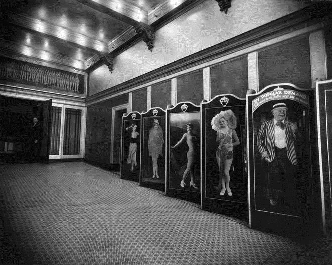 |
|
| (n.d.)*#* - Hallway entrance to the Follies Theatre, 337 South Main St. |
Historical Notes As was the case with most of the older theatres, the Follies Theatre’s entrance was off the street, through a long hallway. Advertising displays were merely cardboard signs.*#* |
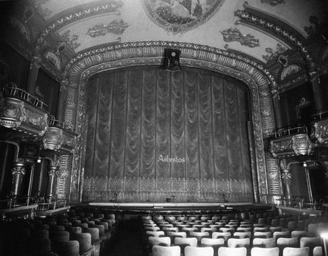 |
|
| (n.d.)*#* - Interior view of the Follies Theatre. All design attention and expense were focused on the elaborate Beaux Arts-style auditorium, which featured a proscenium flanked by protruding boxes. |
* * * * * |
Monnette House (previously Jeremy House)
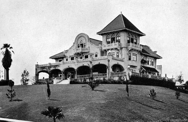 |
|
| (1910)^#^# - Exterior view of the estate located at 951 S. Western Avenue and originally built for Alfred Jeremy. |
Historical Notes The house was built in 1905 for Alfred Jeremy, described by the local papers as a "Pittsburgh capitalist". It was designed in old mission style by architect Dennis & Farwell and built for about $10,000. The grounds surmounted a knoll from which a fine view of the surrounding country can be had--the ocean to the south and Hollywood and the mountains on the north. Mervin Jeremiah Monnette purchased the South Western Avenue home from Alfred Jeremy ca.1910 for $55,000. Monnette made his fortune in the early 1900s in the mines of Goldfield, Nevada. He later became president of the American National Bank, which he purchased, and VP of another, Citizens National Bank.^#^# |
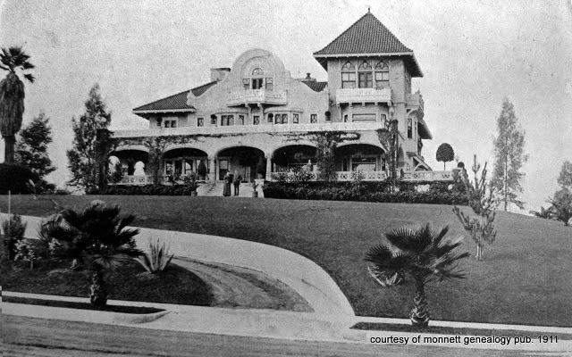 |
|
| (1911)^#^# - View of the Monnette House on Western Avenue. Standing in front of the steps were most likely Mervin and Olive Monnette, while on the porch to the right was probably their niece Cora (who lived there in 1910). The plantings have grown, and a driveway across the front had been added to accommodate visitors who arrive by new-fangled auto. |
* * * * * |
Please Support Our CauseWater and Power Associates, Inc. is a non-profit, public service organization dedicated to preserving historical records and photos. We are of the belief that this information should be made available to everyone—for free, without restriction, without limitation and without advertisements. Your generosity allows us to continue to disseminate knowledge of the rich and diverse multicultural history of the greater Los Angeles area; to serve as a resource of historical information; and to assist in the preservation of the city's historic records.
|
For more Historical Los Angeles Views click one of the following:
For Other Historical Views click one of the following:
See Our Newest Sections:
To see how Water and Electricity shaped the history of Los Angeles click one of the following:
Water:
Power:
* * * * * |
References and Credits
* LA Public Library Image Archive
**DWP - LA Public Library Image Archive
*^Oviatt Library Digital Archives
^^Daily Breeze: Los Angeles Motordome
*#LA Times: Hollywood Castles and Curious Cures; L.A. Brewery Was the Toast of Its Times
^#Boyle Heights History Blog: The Los Angeles Orphans' Asylum
#*Urban Diachrony - Occidental Hotel; The Nelson Flats
#^KCET: A Brief History of LA Beer
#^*Huntington Digital Library Archive
^*#California State Library Image Archive
^^*#Early Downtown Los Angeles - Cory Stargel, Sarah Stargel; Hollenbeck Hotel
*^#Publicartinla.com - Bovard Hall
***Los Angeles Historic - Cultural Monuments Listing
*^*California Historical Landmarks Listing (Los Angeles)
^^*Early Downtown Los Angeles - Cory Stargel, Sarah Stargel
*#^The Department Store Museum: J. W. Robinson's; Bullock's; The Broadway
^#*Historic Hotels of Los Angeles and Hollywood (USC - California Historic Society)
^#^Communities of Los Angeles Pacific: Hollywood
*^^Nuestra Señora la Reina de los Ángeles: losangelespast.com
^##Library of Congress: Los Angeles Herald; Venice Lagoon
**^Historical LA Theatres: The Philharmonic Auditorium; Downtown Theatres; Mason Theatre; Trinity Auditorium; Belasco Theatre; Lyceum Theatre; Orpheum Theatre; Burbank Theatre
****Windward Avenue - virtualvenice.info
^^**Flickr.com - Floyd B. Bariscale: Bonfilio Residence
^^*^Restaurantwarecollectors.com: Angelus Hotel
**^*Westcoastfireescapes.com: Fire Escape History
**^#Historical LA Theatres: The Philharmonic Auditorium
**#*Los Angeles Daily News: Brand Library
^*^#Facebook.com - Bizarre Los Angeles
*#*#Santa Monica Beach Stories
*#^^HistoryLosAngeles.blogspot.com: Lankershim Hotel
^#*^Flickr.com: espensorvik: Hollywood High School Mural
^#^#Oldhomesoflosangeles.blogspot.com: Mervin Monnette Mansion; Holmby House
*##^Flickr.com: Michael Ryerson
^##^Online Archive of California (OAC): Bullock's Department Store Building
^##*Los Angeles Fire Department Historical Archive
*^#*Blogdowntown.com: New Story Building
*^#^Hollywood High School – National Register of Historic Places Application
^^*Early Downtown Los Angeles - Cory Stargel, Sarah Stargel; Hollenbeck Hotel
^^##Metropolitan Transportation Library and Archive: Hill St. Station; Pacific Electric Building 6th and Main; PE Building ca. 1906
^^#*Jewish Museum of the American West: Leopold Harris
^^#^Facebook.com - Great Photos from Los Angeles' Past: Philharmonic Auditorium
*##*Pacific Coast Architecture Database (PCAD): Bryson-Bonebrake Block
^*#^Abandoned & Little-Known Airfields – Paul Freeman
#*#^Brand Park and Studios: glendale.ca.us
#^#*On Bunker Hill: The Dome; Hotel Belmont

##**http://underthehollywoodsign.wordpress.com/tag/cahuenga-valley-railway/
##^^City of Angels: 1910s - Facebook.com
##^*Facebook.com: Classic Hollywood-Los Angeles-SFV
##*^http://underthehollywoodsign.wordpress.com/tag/cahuenga-valley-railway/
#*^^Beachwoodvoice.com: The Cahuenga Valley Railroad
#*^#Plummer and Associates Blog: Bullock's Downtown Los Angeles
#^*#Los Angeles Conservancy: Junipero Serra State Office Building
#^^*Google Maps
#^^^LAUSD.net; LA Memorial Library
^***^Facebook.com: Garden of Allah Novels
**# Noirish Los Angeles - forum.skyscraperpage.com; Fire Station Horses and Dogs; Pacific Electric Building; Chutes Theater; Hollywood Hotel; Walter P. Story Building; Nance's Drug Store; YWCA Building; Los Angeles Brewery
^* Wikipedia: Leonis Adobe; Occidental College; Beverly Hills; Beverly Hills Hotel; Huntington Hotel; Bank of Italy; Van de Kamp's Holland Dutch Bakeries; Rose Bowl Stadium; Los Angeles Memorial Coliseum; Farmers and Merchants Bank of Los Angeles; Los Angeles Biltmore Hotel; Jonathan Club; Los Angeles Plaza Historic District; St. Vincent Church; The Benevolent and Protective Order of Elks; Park Plaza Hotel; YMCA; San Pedro; Venice; Subway Terminal Building; St. Vincent Hospital; Los Angeles Herald-Examiner; Cahuenga Branch Library; Foy House; Frederick Hastings Rindge House; Los Angeles High School; MGM; Breed Street Shul; Natural History Museum of Los Angeles County; Jonathan Temple; Highland Park Masonic Temple; Egyptian Theatre; Phineas Banning; Eagle Rock; Hollywood Masonic Temple; Sawtelle Veterans Home; Downtown, Los Angeles; Los Angeles Philharmonic; Pacific Electric Building; Los Angeles and Mt. Washington Railway; Ebell of Los Angeles; Bullock's; Nelson Story; History of UCLA; Engine House No. 18; James Boon Lankershim; Olympic Boulevard; Harry Chandler; Judson Studios; Hollywood Hotel; Leslie Brand; Grand Central Airport; YWCA; John H. Francis Polytechnic High School; Powers House - Alvarado Terrace; Alvarado Terrace Historic District; Arthur Letts


< Back